225 Simcoe Street
East K, London East, N6B 1J3
$359,900
- 3 bedrooms
- 1 bathrooms
- 1 parking
- 700-1100 sq ft
Listed today · MLS® X14104670
About this home
Welcome to this beautifully renovated bungalow, with modern updates and low-maintenance living. Natural light fills the home, creating a bright, warm, and inviting atmosphere throughout. Included furniture and recent renovations mean you can simply move in and enjoy, with no projects waiting for you. Outside, the fenced-in backyard is designed for easy upkeep, and a handy shed provides extra storage for tools, gear, and seasonal items. Street parking adds convenience for you and your guests.The central location is a standout: you're about a 20-minute drive to both Western University and Fanshawe College, with nearby bus routes making commuting simple. Perfect for young families, working professionals, or investors, this home also offers a strong rental potential. Comfort, convenience, and value in a location that's hard to beat.
Details
- Type
- Detached
- Style
- Bungalow
- Size
- 700-1100 sq ft
- Lot
- 28 × 50 ft
- Basement
- Crawl Space
- Garage
- None
- Kitchens
- 1
- Property tax
- $1,408 (2025)
- Neighbourhood
- East K
- Municipality
- London East
- Price per sq ft
- $400 (11% above detached houses in East K, $361)
Interior
- Bedrooms
- 3 above ground
- Bathrooms
- 1 × 4-piece
- Rooms
- 5 above ground
- Family room or den
- Yes
- Fireplace
- Yes
- Features
- Carpet Free, Primary Bedroom - Main Floor, Water Heater
Heating, cooling and services
- Heating
- Baseboard, Electric
- Air conditioning
- Wall Unit(s)
- Water and sewer
- Sewer
Building and exterior
- Style
- Bungalow
- Exterior
- Stucco (Plaster)
- Roof
- Shingles
- Foundation
- Concrete
- Faces
- South
Parking
- Total parking
- 1
- Driveway and parking
- Mutual
Lot
- Size
- 28 × 50 ft
More
- Possession
- Flexible
- Cross street
- Wellington St. + Horton St E
History of this address
4 earlier listings at this address, with sold and leased prices. Create a free account or sign in to see them.
Location
Location is approximate. See nearby homes on the map
Recent sales nearby
See what similar homes within 1 km sold for in the last year. Create a free account or sign in to see them.
The neighbourhood
Getting around Very walkable
No subway, LRT or GO station within a short trip.
Within a 10-minute walk: 4 grocery stores, 72 cafés and restaurants, 16 parks, 1 pharmacy. Nearest grocery: Jing Jing Nutrifood (650 m). Nearest park: Hill Street Park (200 m).
Schools nearby
Elementary
- Tecumseh Public School
EQAO: Gr 6 reading 83%, math 53%17 min walk - St. Martin Separate School Catholic
EQAO: Gr 6 reading 87%, math 42%18 min walk - Aberdeen Public School
EQAO: Gr 6 reading 65%, math 33%1.2 km - Wortley Road Public School
EQAO: Gr 6 reading 82%, math 50%1.4 km
Secondary
- London South Collegiate Institute
EQAO: Gr 9 math 49%, literacy test 73%17 min walk - Catholic Central High School Catholic
EQAO: Gr 9 math 57%, literacy test 89%17 min walk - London Central Secondary School
EQAO: Gr 9 math 81%, literacy test 91%18 min walk
EQAO: share of students meeting the provincial standard (2024–25). Ontario average: Gr 6 reading 86%, math 51%; Gr 9 math 55%; literacy test 83%.
Closest schools, not school zones. Check which school serves this address with the school board before relying on it.
Who lives here postal area N6B
- Owners / renters
- 23% / 77%
- Median household income
- $49,200
- Average age
- 42
- Children under 15
- 8%
- Homes
- 13% detached, 42% high-rise
- Commute by transit
- 14%
- Population
- 11,101
Languages spoken most at home besides English: Spanish 1.1%, Portuguese 0.8%, Arabic 0.6%, Polish 0.5%.
Safety
Crime Severity Index for London police: 73 vs 57 for Ontario (2025).
Police-reported figures for the whole police service area, not this street. Rates use the area’s resident population.
Distances are approximate. Places © OpenStreetMap contributors. Neighbourhood figures: Statistics Canada, 2021 Census. School results: EQAO via Ontario Data Catalogue (Open Government Licence – Ontario). Crime Severity Index: Statistics Canada.
Living here
Commute
Noise Nothing major nearby
No highway within 500 m, rail line within 300 m, or airport flight path nearby.
Distances from the map, not noise measurements. Visit at rush hour to judge for yourself.
Internet High-speed
50/10 Mbps or faster available here by cable, fibre or DSL (the federal high-speed target).
From the federal broadband map. Check exact speeds and providers for the address.
Roads, rail, airports and planned stations © OpenStreetMap contributors. Internet: Innovation, Science and Economic Development Canada, National Broadband Data.
Listed by BLUE FOREST REALTY INC..
Listing information provided by PropTx Innovations Inc. and TRREB; deemed reliable but not guaranteed accurate by PropTx.
Similar homes nearby
See more in London East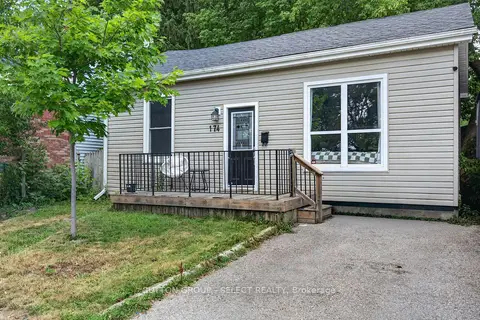 📷 15🎥 Tour
$359,900
≈ $1,576/mo mortgage · 20% down
2 bd1 ba1 pk< 700 ft²
174 Clarence Street
East K, London East
WalkablePark nearby
Detached · MLS® X13555244 · SUTTON GROUP - SELECT REALTY
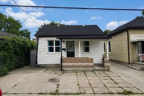 📷 23🎥 Tour
$365,000
Reduced $10,000 (↓ 3%)
≈ $1,598/mo mortgage · 20% down
3 bd1 ba2 pk700-1100 ft²
563 South Street S
East K, London East
Detached · MLS® X13812608 · REAL BROKER ONTARIO LTD
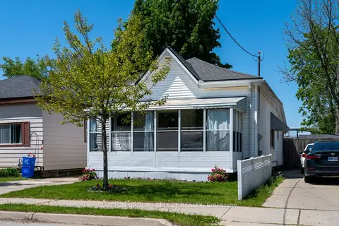 📷 27🎥 Tour
$381,000
Reduced $18,900 (↓ 5%)
≈ $1,668/mo mortgage · 20% down
3 bd1 ba3 pk700-1100 ft²
582 Hill Street
East K, London East
School 3 min walkPark nearby
Detached · MLS® X13194462 · SUTTON GROUP - SELECT REALTY
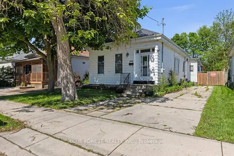 📷 28
$329,000
≈ $1,441/mo mortgage · 20% down
4 bd1 ba2 pk1100-1500 ft²
208 Maitland Street
East K, London East
WalkableSchool 4 min walk
Detached · MLS® X13237478 · BLUE FOREST REALTY INC.
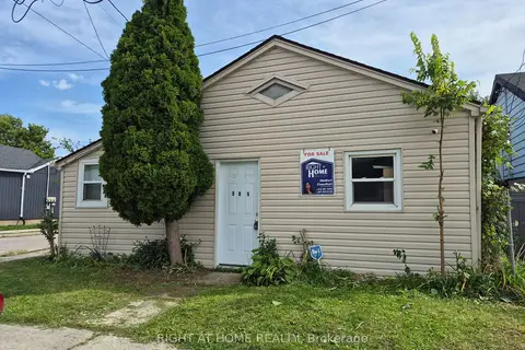 📷 8
$324,999
≈ $1,423/mo mortgage · 20% down
4 bd2 ba2 pk700-1100 ft²
565 South Street S
East K, London East
Fixer-upper
Detached · MLS® X13734730 · RIGHT AT HOME REALTY
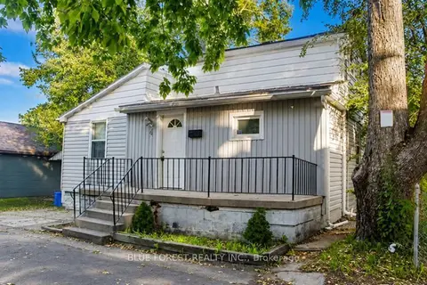 📷 19
$324,900
≈ $1,423/mo mortgage · 20% down
3+1 bd2 ba4 pk700-1100 ft²
4 Henry Street
East K, London East
Basement suiteWalkable
Detached · MLS® X13818832 · BLUE FOREST REALTY INC.
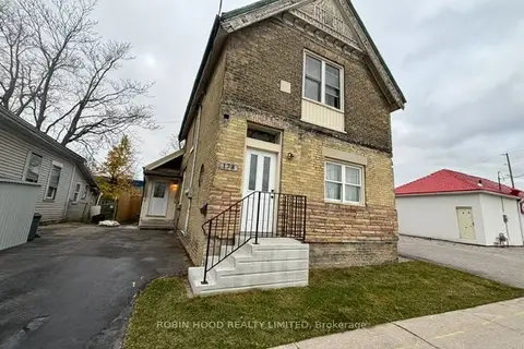 📷 30
$399,000
≈ $1,747/mo mortgage · 20% down
6 bd2 ba2 pk1500-2000 ft²
173 Adelaide Street N
East K, London East
Basement suiteMultiplexSchool 1 min walk
Duplex · MLS® X13736822 · ROBIN HOOD REALTY LIMITED
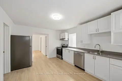 📷 26
$319,900
≈ $1,401/mo mortgage · 20% down
3 bd2 ba7 pk700-1100 ft²
97 William Street
East K, London East
School 4 min walkPark nearby
Detached · MLS® X14031012 · ROYAL LEPAGE TRILAND REALTY