269 Ferncrest Road
Woodstock - North, Woodstock, N4S 7S6
$734,000
- 4 bedrooms
- 3 bathrooms
- 5 parking
- 2000-2500 sq ft
Listed 67 days ago · MLS® X13675704
About this home
Welcome to this spacious 4-bedroom, 3-bathroom side split in one of Woodstock's most desirable north-end neighbourhoods. Larger than it looks, this home offers plenty of room for the whole family, with an addition completed in 1997 providing valuable extra living space. Recent updates include new flooring throughout in 2026 and an updated main bathroom in 2026. Enjoy a great layout, generous bedrooms and a fantastic established neighbourhood. The backyard backs directly onto a park, offering a peaceful setting with no rear neighbours and plenty of green space to enjoy. Close to schools, shopping, parks and all that north-end Woodstock has to offer, this is a home you'll want to see to truly appreciate the space.
Details
- Type
- Detached
- Style
- Sidesplit
- Age
- 51-99 years
- Size
- 2000-2500 sq ft
- Lot
- 80 × 148.18 ft
- Basement
- Partially Finished, Walk-Out
- Garage
- Attached
- Kitchens
- 1
- Property tax
- $5,408 (2025)
- Neighbourhood
- Woodstock - North
- Municipality
- Woodstock
- Price per sq ft
- $326 (26% below detached houses in Woodstock - North, $438)
Interior
- Bedrooms
- 4 above ground
- Bathrooms
- 1 × 3-piece, 1 × 4-piece, 1 × 3-piece
- Rooms
- 12 above ground + 1 below
- Family room or den
- Yes
- Fireplace
- No
- Features
- Sump Pump, Water Heater Owned
Heating, cooling and services
- Heating
- Forced Air, Gas
- Air conditioning
- Central Air
- Water and sewer
- Sewer
Building and exterior
- Style
- Sidesplit
- Exterior
- Aluminum Siding, Brick
- Roof
- Asphalt Shingle
- Foundation
- Poured Concrete
- Age
- 51-99 years
- Faces
- West
Parking
- Garage spaces
- 1
- Total parking
- 5
- Driveway and parking
- Private
Lot
- Size
- 80 × 148.18 ft
More
- Possession
- Flexible
- Cross street
- Brenda Crescent
History of this address
1 earlier listing at this address, with sold and leased prices. Create a free account or sign in to see them.
Location
Location is approximate. See nearby homes on the map
Recent sales nearby
See what similar homes within 1 km sold for in the last year. Create a free account or sign in to see them.
The neighbourhood
Getting around Somewhat walkable
No subway, LRT or GO station within a short trip.
Within a 10-minute walk: 2 grocery stores, 3 cafés and restaurants, 0 parks, 1 pharmacy. Nearest grocery: Sobeys (600 m).
Schools nearby
Elementary
- Springbank Public School
EQAO: Gr 6 reading 80%, math 27%4 min walk - St. Michael's School Catholic
EQAO: Gr 6 reading 93%, math 51%8 min walk - Roch Carrier French Immersion Public School
EQAO: Gr 6 reading 97%, math 70%13 min walk - Algonquin Public School
EQAO: Gr 6 reading 87%, math 54%14 min walk
Secondary
- Huron Park Secondary School
EQAO: Gr 9 math 52%, literacy test 76%11 min walk - College Avenue Secondary School
EQAO: Gr 9 math 28%, literacy test 66%2.5 km
EQAO: share of students meeting the provincial standard (2024–25). Ontario average: Gr 6 reading 86%, math 51%; Gr 9 math 55%; literacy test 83%.
Closest schools, not school zones. Check which school serves this address with the school board before relying on it.
Who lives here postal area N4S
- Owners / renters
- 66% / 34%
- Median household income
- $78,000
- Average age
- 43
- Children under 15
- 16%
- Homes
- 63% detached, 5% high-rise
- Commute by transit
- 1%
- Population
- 33,055
Languages spoken most at home besides English: Punjabi (Panjabi) 0.5%, Polish 0.3%, Spanish 0.3%, Portuguese 0.2%.
Safety
Crime Severity Index for Woodstock police: 62 vs 57 for Ontario (2025).
Police-reported figures for the whole police service area, not this street. Rates use the area’s resident population.
Distances are approximate. Places © OpenStreetMap contributors. Neighbourhood figures: Statistics Canada, 2021 Census. School results: EQAO via Ontario Data Catalogue (Open Government Licence – Ontario). Crime Severity Index: Statistics Canada.
Living here
Commute
Noise Nothing major nearby
No highway within 500 m, rail line within 300 m, or airport flight path nearby.
Distances from the map, not noise measurements. Visit at rush hour to judge for yourself.
Internet High-speed
50/10 Mbps or faster available here by cable, fibre or DSL (the federal high-speed target).
From the federal broadband map. Check exact speeds and providers for the address.
Roads, rail, airports and planned stations © OpenStreetMap contributors. Internet: Innovation, Science and Economic Development Canada, National Broadband Data.
Listed by RE/MAX a-b Realty Ltd Brokerage.
Listing information provided by PropTx Innovations Inc. and TRREB; deemed reliable but not guaranteed accurate by PropTx.
Similar homes nearby
See more in Woodstock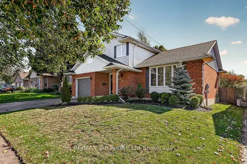
$725,000
3 bd4 ba3 pk1500-2000 ft²
1182 Sprucedale Road
Woodstock - North, Woodstock
Detached · MLS® X13870212 · RE/MAX a-b Realty Ltd Brokerage
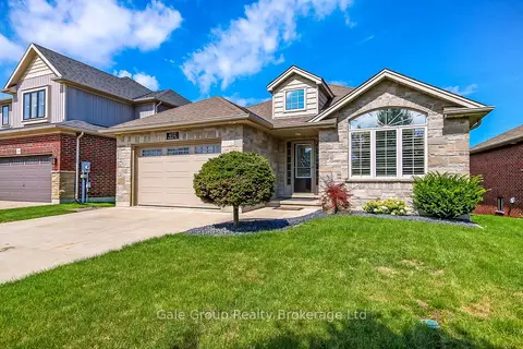
$744,000
Reduced $5,000
2+1 bd2 ba4 pk1100-1500 ft²
402 Fairway Road
Woodstock - North, Woodstock
Detached · MLS® X13690698 · Gale Group Realty Brokerage Ltd
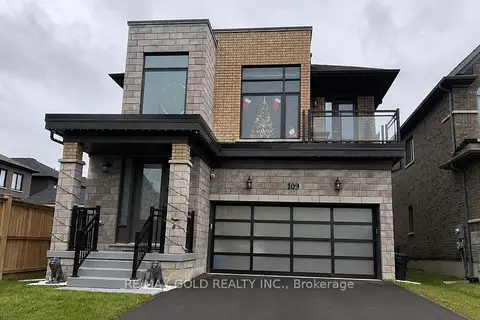
$749,900
4 bd3 ba5 pk2000-2500 ft²
109 Silverwood Crescent
Woodstock - North, Woodstock
Detached · MLS® X13220354 · RE/MAX GOLD REALTY INC.
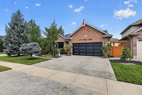
$750,000
2+2 bd3 ba4 pk1100-1500 ft²
514 Parrott Place
Woodstock - North, Woodstock
Detached · MLS® X13768842 · Century 21 Heritage House Ltd Brokerage
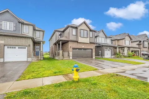
$715,000
4 bd3 ba4 pk2000-2500 ft²
1318 Caen Avenue
Woodstock - North, Woodstock
Detached · MLS® X13828780 · RE/MAX ESCARPMENT REALTY INC.
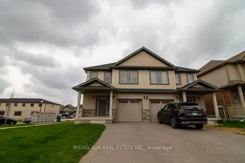
$699,999
Reduced $49,001
3+2 bd4 ba3 pk1500-2000 ft²
1624 Dunkirk Avenue E
Woodstock - North, Woodstock
Semi-Detached · MLS® X13119908 · RISING SUN REAL ESTATE INC.
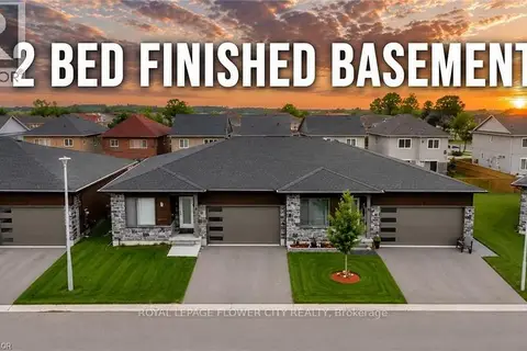
$699,990
Reduced $40,000
4 bd3 ba4 pk1100-1500 ft²
269 Pittock Park Road 9
Woodstock - North, Woodstock
Semi-Detached · MLS® X13755308 · ROYAL LEPAGE FLOWER CITY REALTY
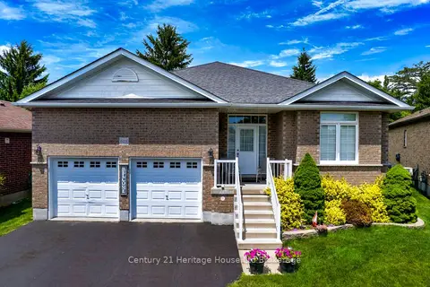
$699,900
2+2 bd3 ba6 pk1500-2000 ft²
619 Fox Hollow Court
Woodstock - North, Woodstock
Detached · MLS® X13846660 · Century 21 Heritage House Ltd Brokerage