909 Yonge Street 27-28
Rosedale-Moore Park, Toronto, M4W 2H2
$724,900
Listed 91 days ago · MLS® C13590794
About this home
Situated along one of Toronto's most prominent commercial corridors, this commercial retail offering at 909 Yonge Street, Units #27-28 presents an excellent opportunity for owner-occupiers or investors seeking a highly visible Yonge Street presence. Currently operating as a boutique hospitality restaurant, the combined ground-level units offer approximately 800 sq. ft. of functional retail space with an efficient layout, private washroom, municipal services, and electric forced-air heating with air conditioning. The property supports a wide range of retail and food-related uses and benefits from strong pedestrian and vehicular exposure in the desirable Rosedale-Moore Park community, just north of Bloor Street near Davenport Road. The location is exceptionally well-connected, with immediate access to the TTC subway stations nearby like Rosedale, Yonge-Bloor & Bay stations with multiple bus routes along Yonge Street, ensuring seamless connectivity for patrons and staff alike. Surrounded by dense residential neighbourhoods, professional offices, and established retailers, this high-traffic setting delivers outstanding convenience, visibility, and long-term value in one of Toronto's most sought-after mixed-use corridors.
Details
- Type
- Commercial Retail
- Garage
- None
- Property tax
- $13,686 (2025)
- Neighbourhood
- Rosedale-Moore Park
- Municipality
- Toronto C09
Heating, cooling and services
- Heating
- Electric Forced Air
- Air conditioning
- Yes
- Utilities
- Yes
Building and exterior
- Building area
- 800 Square Feet
More
- Possession
- Flex closing
- Cross street
- Yonge St & Davenport Rd.
Location
Location is approximate. See nearby homes on the map
Recent sales nearby
See what similar homes within 1 km sold for in the last year. Create a free account or sign in to see them.
The neighbourhood
Getting around Very walkable
- 🚇 Rosedale Subway2 min walk
- 🚇 Bloor-Yonge Subway8 min walk
- 🚆 Toronto Union Station GO3.5 km
Within a 10-minute walk: 11 grocery stores, 178 cafés and restaurants, 33 parks, 8 pharmacies. Nearest grocery: Rabba (450 m). Nearest park: Budd Sugarman Park (100 m).
Schools nearby
Elementary
- Jesse Ketchum Junior and Senior Public School
EQAO: Gr 6 reading 96%, math 71%6 min walk - Rosedale Junior Public School
EQAO: Gr 6 reading 100%, math 100%10 min walk - Cottingham Junior Public School
EQAO: Gr 6 reading 100%, math 100%12 min walk
Secondary
- De La Salle College "Oaklands" Private17 min walk
- Msgr Fraser College - Isabella Campus Catholic17 min walk
- St. Joseph's College School Catholic
EQAO: Gr 9 math 66%, literacy test 87%19 min walk
EQAO: share of students meeting the provincial standard (2024–25). Ontario average: Gr 6 reading 86%, math 51%; Gr 9 math 55%; literacy test 83%.
Closest schools, not school zones. Check which school serves this address with the school board before relying on it.
Who lives here postal area M4W
- Owners / renters
- 56% / 44%
- Median household income
- $104,000
- Average age
- 45
- Children under 15
- 9%
- Homes
- 18% detached, 63% high-rise
- Commute by transit
- 25%
- Population
- 15,296
Languages spoken most at home besides English: Mandarin 2.8%, Iranian Persian 1%, Spanish 0.9%, Korean 0.8%.
Flood and conservation No mapped hazard
Not inside a mapped flood plain or regulated area.
Screening maps only. Ask the conservation authority for a property inquiry before relying on this.
Safety
Major crime per resident in Rosedale-Moore Park (2025): 43% above the Toronto average, down 10% from the year before.
- Assault41% above average
- Break and enter140% above average
- Auto theftabout average
- Robberyabout average
- Theft from vehiclesabout average
- Shootingsnone reported
Crime Severity Index for Toronto police: 60 vs 57 for Ontario (2025).
Police-reported figures for the whole neighbourhood, not this street. Rates use the area’s resident population.
Development nearby 14 active
-
27-29 YORKVILLE AVE · 450 mPlan of Condominium · Under Review · applied 2026Draft Plan of Condominium Application for North Tower B with 760 residential units proposed.Application details
-
27-29 YORKVILLE AVE · 450 mPlan of Condominium · Under Review · applied 2026An application for Draft Plan of Condominium. The application proposes to create 378 residential units.Application details
-
40 PARK RD · 400 mOfficial Plan / Zoning By-law Amendment · OMB Appeal · applied 2025Proposed 31-storey (107.9 metres) purpose-built rental building and the restoration and adaptive reuse of the heritage building at 50 Park Road, which is…Application details
-
55 BELMONT ST · 200 mSite Plan · NOAC Issued · applied 2025Proposed 11-storey addition that will add 168 long-term care beds and 30 assisted living units at the north end of the existing long-term care home for seniors.Application details
-
1080 YONGE ST · 300 mSite Plan · NOAC Issued · applied 2024Site Plan Approval for 12-storey mixed-use building with retail/commercial uses at grade and on the second floor, with a total of 24 dwelling units above.…Application details
-
3 SCOLLARD ST · 300 mSite Plan · NOAC Issued · applied 2024Site Plan Amendment to the previously approved 16 173156 STE 11 SAApplication details
20 more within 500 m.
Rezoning, site plan, subdivision and condominium applications filed with the city.
Distances are approximate. Places © OpenStreetMap contributors. Neighbourhood figures: Statistics Canada, 2021 Census. School results: EQAO via Ontario Data Catalogue (Open Government Licence – Ontario). Neighbourhood crime: Toronto Police Service Public Safety Data Portal (Open Government Licence – Toronto Police Service). Crime Severity Index: Statistics Canada. Planning applications: City of Toronto open data.
Living here
Commute
To Union Station (downtown Toronto): 3 km. Transit times · Driving times
Noise Nothing major nearby
No highway within 500 m, rail line within 300 m, or airport flight path nearby.
Distances from the map, not noise measurements. Visit at rush hour to judge for yourself.
What can be built CR
Commercial Residential (with a site-specific exception).
From Toronto’s Zoning By-law 569-2013 map. Lot size, setbacks and trees decide what actually fits; check with a planner before you buy.
Building permits
- Interior Alterations · 2016 · InspectionProposal for interior alterations to unit 29/30 in existing cafe - "ELTenedor"
19 permits on this block of the street in the last 2 years, including 1 new home.
Permits filed with the City of Toronto. A permit doesn’t mean the work passed final inspection.
Trees
45 City street trees within 100 m, mostly maples. That’s about the Toronto average of 42.
Trees on City boulevards only, not private yards or parks.
Internet High-speed
50/10 Mbps or faster available here by cable, fibre or DSL (the federal high-speed target).
From the federal broadband map. Check exact speeds and providers for the address.
Zoning, heritage, building permits and street trees: City of Toronto open data (Open Government Licence – Toronto). Roads, rail, airports and planned stations © OpenStreetMap contributors. Internet: Innovation, Science and Economic Development Canada, National Broadband Data.
Listed by HOMELIFE LANDMARK REALTY INC..
Listing information provided by PropTx Innovations Inc. and TRREB; deemed reliable but not guaranteed accurate by PropTx.
Similar homes nearby
See more in Toronto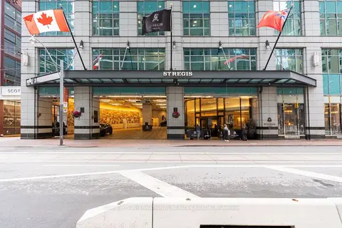 New
$725,000
1 ba
325 Bay Street 1905
Bay Street Corridor, Toronto
Investment · MLS® C14095404 · SOTHEBY'S INTERNATIONAL REALTY CANADA
$725,000
1 ba
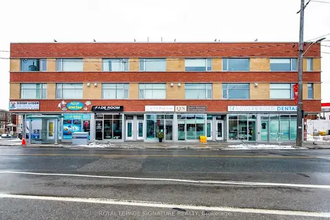
475D Rogers Road
Keelesdale-Eglinton West, Toronto
Commercial Retail · MLS® W13862628 · ROYAL LEPAGE SIGNATURE REALTY
$729,000
1 ba
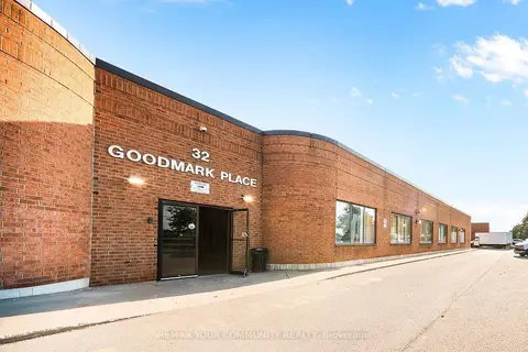
32 Goodmark Place 3
West Humber-Clairville, Toronto
Industrial · MLS® W13814366 · REMAX YOUR COMMUNITY REALTY
$739,000
1 bd
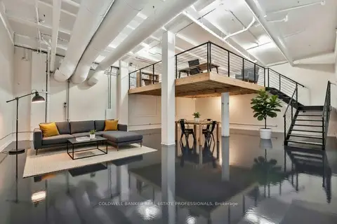
1159 Dundas Street E 152
South Riverdale, Toronto
Industrial · MLS® E13677498 · COLDWELL BANKER REAL ESTATE PROFESSIONALS
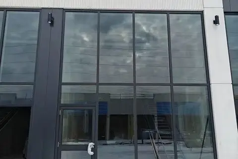
$740,000
3101 Kennedy Road B2
Milliken, Toronto
Commercial Retail · MLS® E12888782 · BAY STREET GROUP INC.

$740,000
3101 Kennedy Road B1
Milliken, Toronto
Commercial Retail · MLS® E13530004 · WANTHOME REALTY INC.
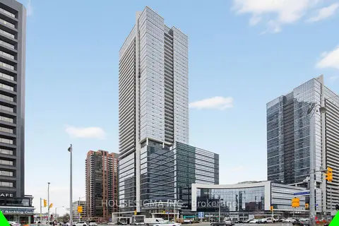
$748,800
4789 Yonge Street 609
Willowdale East, Toronto
Office · MLS® C13692784 · HOUSESIGMA INC.
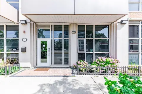
$749,000
1 ba
618 A Fleet Street 110
Niagara, Toronto
Store W Apt/Office · MLS® C13760160 · SUTTON GROUP-ASSOCIATES REALTY INC.