475D Rogers Road
Keelesdale-Eglinton West, Toronto, M6N 0B3
$725,000
- 1 bathrooms
Listed 15 days ago · MLS® W13862628
About this home
Ideal for investor or end user. Modern 10-year-old commercial condo retail unit located on up-and-coming Rogers Road, offering strong pedestrian and vehicle traffic. Bright ground-floor retail space features approximately 480 sq ft on the main level plus 530 sq ft in the finished basement with a convenient 2-piece washroom. Highlights include a floor-to-ceiling storefront window, tile flooring, pot lights, and rear access to the laneway. Versatile layout suitable for a wide range of permitted uses. Currently leased to an excellent tenant until 2028, providing stable income and long-term security. Explore the possibilities in this growing neighbourhood.
Details
- Type
- Commercial Retail
- Age
- 6-15 years
- Garage
- None
- Property tax
- $6,228 (2025)
- Neighbourhood
- Keelesdale-Eglinton West
- Municipality
- Toronto W03
Interior
- Bathrooms
- 1 × bathroom
Heating, cooling and services
- Heating
- Gas Forced Air Closed
- Air conditioning
- Yes
- Utilities
- Available
Building and exterior
- Age
- 6-15 years
- Building area
- 1,010 Square Feet
More
- Possession
- Flexible/TBD
- Cross street
- Rogers Road/Old Weston Road
- Business type
- Health & Beauty Related
History of this address
1 earlier listing at this address, with sold and leased prices. Create a free account or sign in to see them.
Location
Location is approximate. See nearby homes on the map
Recent sales nearby
See what similar homes within 1 km sold for in the last year. Create a free account or sign in to see them.
The neighbourhood
Getting around Very walkable
- 🚇 Keelesdale LRT18 min walk
- 🚇 Caledonia LRT18 min walk
- 🚆 Mount Dennis GO1.8 km
Within a 10-minute walk: 5 grocery stores, 22 cafés and restaurants, 6 parks, 4 pharmacies. Nearest grocery: Popular Supermarket (100 m). Nearest park: Turnberry South Park31 (550 m).
Schools nearby
Elementary
- St. Matthew Catholic School Catholic
EQAO: Gr 6 reading 85%, math 40%2 min walk - General Mercer Junior Public School
EQAO: Gr 6 reading 74%, math 41%5 min walk - St. Nicholas of Bari Catholic School Catholic
EQAO: Gr 6 reading 75%, math 28%9 min walk - Silverthorn Community School
EQAO: Gr 6 reading 85%, math 26%10 min walk
Secondary
- George Harvey Collegiate Institute10 min walk
- St. Oscar Romero Catholic Secondary School Catholic
EQAO: Gr 9 math 44%, literacy test 78%17 min walk
EQAO: share of students meeting the provincial standard (2024–25). Ontario average: Gr 6 reading 86%, math 51%; Gr 9 math 55%; literacy test 83%.
Closest schools, not school zones. Check which school serves this address with the school board before relying on it.
Who lives here postal area M6N
- Owners / renters
- 58% / 42%
- Median household income
- $75,500
- Average age
- 41
- Children under 15
- 15%
- Homes
- 24% detached, 26% high-rise
- Commute by transit
- 28%
- Population
- 40,252
Languages spoken most at home besides English: Portuguese 9.6%, Spanish 5%, Vietnamese 3%, Italian 1.2%.
Flood and conservation No mapped hazard
Not inside a mapped flood plain or regulated area.
Screening maps only. Ask the conservation authority for a property inquiry before relying on this.
Safety
Major crime per resident in Keelesdale-Eglinton West (2025): 38% below the Toronto average, down 24% from the year before.
- Assault46% below average
- Break and enter42% below average
- Auto theftabout average
- Robberyabout average
- Theft from vehiclesabout average
- Shootings191% above average
Crime Severity Index for Toronto police: 60 vs 57 for Ontario (2025).
Police-reported figures for the whole neighbourhood, not this street. Rates use the area’s resident population.
Development nearby 7 active
-
126 UNION ST · 500 mSite Plan · Under Review · applied 2022The proposal contemplates the development of the subject site with a mixed-use building consisting of retail and residential uses central to the property and…Application details
-
126 UNION ST · 500 mOfficial Plan / Zoning By-law Amendment · Under Review · applied 2022The proposal is for two towers of 20 and 34 storeys, connected by a 6 storey based podium, aligning with the existing and new public streets with active retail…Application details
-
200 BENNY STARK ST · 300 mSite Plan · Under Review · applied 2022Site Plan Approval for a 22-storey mixed-use building having a non-residential gross floor area of 7052 square metres, and a residential gross floor area of…Application details
-
200 BENNY STARK ST · 300 mSite Plan · Under Review · applied 2022Site Plan Approval for a 24-storey mixed-use building having a non-residential gross floor area of 806 square metres, and a residential gross floor area of…Application details
-
200 BENNY STARK ST · 300 mSite Plan · Under Review · applied 2022Site Plan Approval for a 46-storey mixed-use building having a non-residential gross floor area of 10,841 square metres, and a residential gross floor area of…Application details
-
200 BENNY STARK ST · 300 mOfficial Plan / Zoning By-law Amendment · Appeal Received · applied 2021Official Plan and Zoning By-law Amendment Application to facilitate the redevelopment of the site for a mixed-use development comprised of 7 buildings…Application details
1 more within 500 m.
Rezoning, site plan, subdivision and condominium applications filed with the city.
Distances are approximate. Places © OpenStreetMap contributors. Neighbourhood figures: Statistics Canada, 2021 Census. School results: EQAO via Ontario Data Catalogue (Open Government Licence – Ontario). Neighbourhood crime: Toronto Police Service Public Safety Data Portal (Open Government Licence – Toronto Police Service). Crime Severity Index: Statistics Canada. Planning applications: City of Toronto open data.
Living here
Commute
To Union Station (downtown Toronto): 8 km. Transit times · Driving times
Noise Nothing major nearby
No highway within 500 m, rail line within 300 m, or airport flight path nearby.
Distances from the map, not noise measurements. Visit at rush hour to judge for yourself.
Building permits
No building permits at this address since 2014.
1 permit on this block of the street in the last 2 years.
Permits filed with the City of Toronto. A permit doesn’t mean the work passed final inspection.
Trees
14 City street trees within 100 m. That’s fewer than the Toronto average of 42.
Trees on City boulevards only, not private yards or parks.
Internet High-speed
50/10 Mbps or faster available here by cable, fibre or DSL (the federal high-speed target).
From the federal broadband map. Check exact speeds and providers for the address.
Zoning, heritage, building permits and street trees: City of Toronto open data (Open Government Licence – Toronto). Roads, rail, airports and planned stations © OpenStreetMap contributors. Internet: Innovation, Science and Economic Development Canada, National Broadband Data.
Listed by ROYAL LEPAGE SIGNATURE REALTY.
Listing information provided by PropTx Innovations Inc. and TRREB; deemed reliable but not guaranteed accurate by PropTx.
Similar homes nearby
See more in Toronto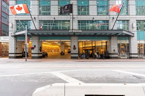 New
$725,000
1 ba
325 Bay Street 1905
Bay Street Corridor, Toronto
Investment · MLS® C14095404 · SOTHEBY'S INTERNATIONAL REALTY CANADA
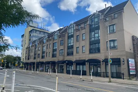
$724,900
909 Yonge Street 27-28
Rosedale-Moore Park, Toronto
Commercial Retail · MLS® C13590794 · HOMELIFE LANDMARK REALTY INC.
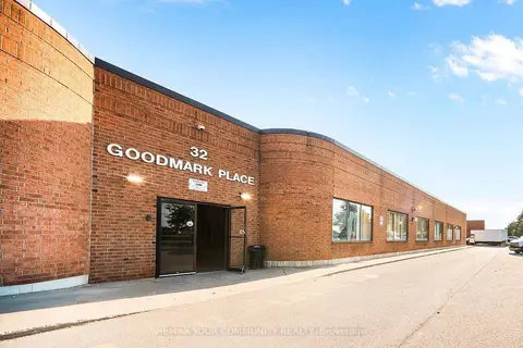
$729,000
1 ba
32 Goodmark Place 3
West Humber-Clairville, Toronto
Industrial · MLS® W13814366 · REMAX YOUR COMMUNITY REALTY

$739,000
1 bd
1159 Dundas Street E 152
South Riverdale, Toronto
Industrial · MLS® E13677498 · COLDWELL BANKER REAL ESTATE PROFESSIONALS
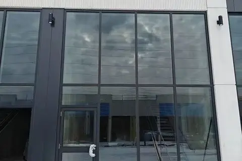
$740,000
3101 Kennedy Road B2
Milliken, Toronto
Commercial Retail · MLS® E12888782 · BAY STREET GROUP INC.

$740,000
3101 Kennedy Road B1
Milliken, Toronto
Commercial Retail · MLS® E13530004 · WANTHOME REALTY INC.
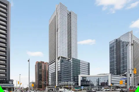
$748,800
4789 Yonge Street 609
Willowdale East, Toronto
Office · MLS® C13692784 · HOUSESIGMA INC.
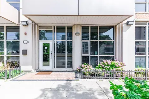
$749,000
1 ba
618 A Fleet Street 110
Niagara, Toronto
Store W Apt/Office · MLS® C13760160 · SUTTON GROUP-ASSOCIATES REALTY INC.