77 Carlton Road
Cundles East, Barrie, L4M 5K8
$458,800
- 3 bedrooms
- 3 bathrooms
- 2 parking
- 1100-1500 sq ft
Listed 5 days ago · MLS® S14032280
About this home
This charming semi-detached two-storey home is just a short walk to all the amenities along Bayfield Street! Ideally located near parks, several trails in a family-friendly neighbourhood, this move-in-ready home offers 3 bedrooms and 2.5 bathrooms. Enjoy a bright living room, a modern eat-in kitchen, and a walkout to the deck overlooking a private, fully fenced backyard complete with a garden shed. The finished basement offers excellent potential for an in-law suite or additional living space with 4 pc bath and kitchen. Featuring newer laminate flooring, fresh paint throughout, this home is full of opportunity to make it your own. A wonderful place to call home!
Details
- Type
- Semi-Detached
- Style
- 2-Storey
- Size
- 1100-1500 sq ft
- Lot
- 30 × 120 ft
- Basement
- Finished
- Garage
- None
- Kitchens
- 1
- Property tax
- $3,289 (2025)
- Neighbourhood
- Cundles East
- Municipality
- Barrie
Interior
- Bedrooms
- 3 above ground
- Bathrooms
- 1 × 2-piece (main), 1 × 3-piece (upper), 1 × 4-piece
- Rooms
- 7 above ground
- Family room or den
- Yes
- Fireplace
- No
Heating, cooling and services
- Heating
- Forced Air, Gas
- Water and sewer
- Sewer
Building and exterior
- Style
- 2-Storey
- Exterior
- Aluminum Siding, Brick
- Roof
- Shingles
- Faces
- North
Parking
- Total parking
- 2
- Driveway and parking
- Private
Lot
- Size
- 30 × 120 ft (rectangular)
More
- Possession
- 60/TBA
- Nearby
- Hospital, Library, Park, School
- Cross street
- Cundles Rd East & Carlton Rd
Rooms
| Room | Level | Size | Features |
|---|---|---|---|
| Kitchen | Main | 3.9 × 2.75 m (12'10" × 9') | |
| Dining Room | Main | 3.3 × 2.6 m (10'10" × 8'6") | |
| Living Room | Main | 3.5 × 3.25 m (11'6" × 10'8") | |
| Recreation | Basement | 5.5 × 3.2 m (18'1" × 10'6") | |
| Primary Bedroom | Second | 3.7 × 3.1 m (12'2" × 10'2") | |
| Bedroom | Second | 2.85 × 2.75 m (9'4" × 9') | |
| Bedroom | Second | 3.2 × 2.7 m (10'6" × 8'10") |
History of this address
4 earlier listings at this address, with sold and leased prices. Create a free account or sign in to see them.
Location
Location is approximate. See nearby homes on the map
Recent sales nearby
See what similar homes within 1 km sold for in the last year. Create a free account or sign in to see them.
The neighbourhood
Getting around Very walkable
- 🚆 Allandale Waterfront GO3.6 km
Within a 10-minute walk: 3 grocery stores, 15 cafés and restaurants, 3 parks, 2 pharmacies. Nearest grocery: Centra Food Market (450 m). Nearest park: Redpath Park (100 m).
Schools nearby
Elementary
- Cundles Heights Public School
EQAO: Gr 6 reading 77%, math 42%6 min walk - Hillcrest Public School
EQAO: Gr 6 reading 74%, math 39%1.2 km - Terry Fox Elementary School
EQAO: Gr 6 reading 90%, math 71%1.3 km - Sister Catherine Donnelly Catholic School Catholic
EQAO: Gr 6 reading 86%, math 54%1.7 km
Secondary
- Barrie North Collegiate Institute
EQAO: Gr 9 math 48%, literacy test 88%14 min walk - École secondaire catholique Nouvelle-Alliance French
EQAO: Gr 9 math 51%, literacy test 95%1.5 km - St. Joseph's Catholic High School Catholic
EQAO: Gr 9 math 44%, literacy test 81%1.6 km
EQAO: share of students meeting the provincial standard (2024–25). Ontario average: Gr 6 reading 86%, math 51%; Gr 9 math 55%; literacy test 83%.
Closest schools, not school zones. Check which school serves this address with the school board before relying on it.
Who lives here postal area L4M
- Owners / renters
- 62% / 38%
- Median household income
- $87,000
- Average age
- 40
- Children under 15
- 16%
- Homes
- 56% detached, 9% high-rise
- Commute by transit
- 5%
- Population
- 46,902
Languages spoken most at home besides English: Mandarin 0.8%, Punjabi (Panjabi) 0.8%, Spanish 0.7%, Russian 0.5%.
Flood and conservation No mapped hazard
Not inside a mapped flood plain or regulated area.
Screening maps only. Ask the conservation authority for a property inquiry before relying on this.
Safety
Crime Severity Index for Barrie police: 59 vs 57 for Ontario (2025).
Police-reported figures for the whole police service area, not this street. Rates use the area’s resident population.
Distances are approximate. Places © OpenStreetMap contributors. Neighbourhood figures: Statistics Canada, 2021 Census. School results: EQAO via Ontario Data Catalogue (Open Government Licence – Ontario). Crime Severity Index: Statistics Canada.
Living here
Commute
To Union Station (downtown Toronto): 88 km. Transit times · Driving times
Noise 1 source nearby
- 🛣️ Highway 400400 m
Distances from the map, not noise measurements. Visit at rush hour to judge for yourself.
Internet High-speed
50/10 Mbps or faster available here by cable, fibre or DSL (the federal high-speed target).
From the federal broadband map. Check exact speeds and providers for the address.
Roads, rail, airports and planned stations © OpenStreetMap contributors. Internet: Innovation, Science and Economic Development Canada, National Broadband Data.
Listed by RE/MAX WEST REALTY INC..
Listing information provided by PropTx Innovations Inc. and TRREB; deemed reliable but not guaranteed accurate by PropTx.
Similar homes nearby
See more in Barrie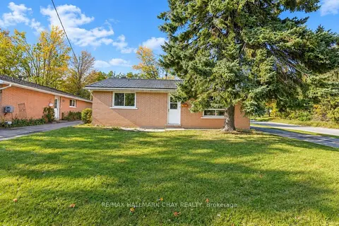
$449,900
3 bd1 ba4 pk700-1100 ft²
14 Heath Street
Cundles East, Barrie
Detached · MLS® S14017342 · RE/MAX HALLMARK CHAY REALTY
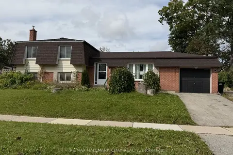
$499,900
3 bd2 ba4 pk1100-1500 ft²
2 BIRCHWOOD Drive
Cundles East, Barrie
Detached · MLS® S13875044 · RE/MAX HALLMARK CHAY REALTY
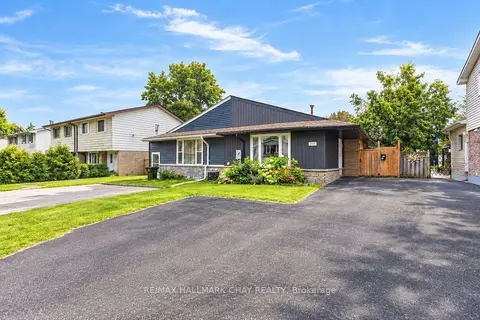
$544,900
3 bd1 ba4 pk700-1100 ft²
109 Daphne Crescent
Cundles East, Barrie
Semi-Detached · MLS® S13819202 · RE/MAX HALLMARK CHAY REALTY
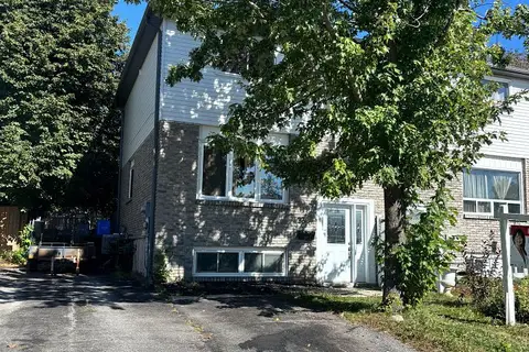
$545,000
3+1 bd3 ba3 pk700-1100 ft²
23 Carlton Road
Cundles East, Barrie
Duplex · MLS® S14031940 · RIGHT AT HOME REALTY
$549,000
4 bd2 ba5 pk1500-2000 ft²
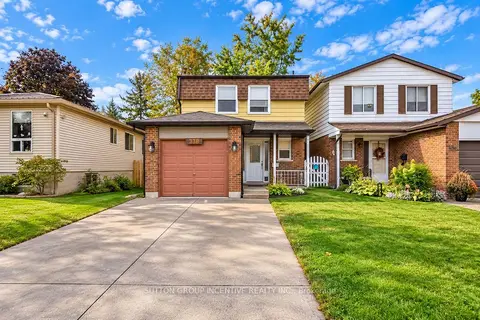
33B Cundles Road E
Cundles East, Barrie
Semi-Detached · MLS® S13855748 · SUTTON GROUP INCENTIVE REALTY INC.
$549,900
Reduced $10,000
3 bd3 ba3 pk700-1100 ft²
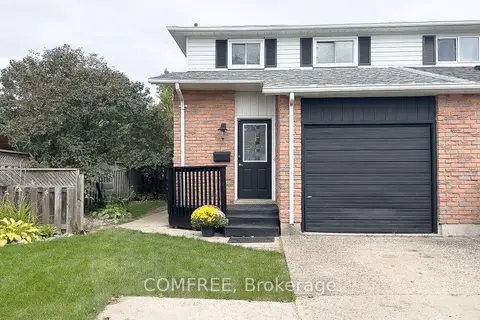
28 Bluejay Drive
Cundles East, Barrie
Semi-Detached · MLS® S13855622 · COMFREE
$449,999
Reduced $474,550,001
2+1 bd2 ba1 pk700-1100 ft²
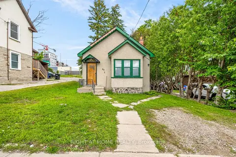
85 Maple Avenue
City Centre, Barrie
Detached · MLS® S13726180 · RIGHT AT HOME REALTY
$449,999
4 bd1 ba7 pk1100-1500 ft²
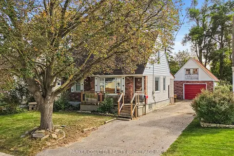
27 Campbell Avenue
Allandale, Barrie
Detached · MLS® S13851904 · PARKER COULTER REALTY BROKERAGE INC.