6449 Netherhart Road
Northeast, Mississauga, L5T 1C3
$8,575,000
Listed 13 days ago · MLS® W13872530
About this home
Free-Stand Opportunity. Building Condition Report - June 30th/23 - Environmental Report - July 2023 Phase 1, Clean Warehouse, assembly, with outside storage, Roof Replacement down to Steel Deck June 2012, Overlooking Pearson - Etobicoke Creek
Details
- Type
- Industrial
- Age
- 31-50 years
- Lot
- 100.12 × 420.24 ft
- Garage
- Outside/Surface
- Property tax
- $45,002 (2025)
- Neighbourhood
- Northeast
- Municipality
- Mississauga
Heating, cooling and services
- Heating
- Gas Forced Air Open
- Air conditioning
- Partial
- Water and sewer
- Sanitary+Storm
- Utilities
- Yes
Building and exterior
- Age
- 31-50 years
- Building area
- 16,600 Square Feet
More
- Possession
- Flexible
- Cross street
- Courtney Park Dr E/Netherhart Rd
- Business type
- Warehouse
Location
Location is approximate. See nearby homes on the map
Recent sales nearby
See what similar homes within 1 km sold for in the last year. Create a free account or sign in to see them.
The neighbourhood
Getting around Car-dependent
- 🚆 Terminal 3 GO2.8 km
Within a 10-minute walk: no grocery stores, 0 cafés and restaurants, 1 park. Nearest park: Edward Scarlett Park (600 m).
Who lives here postal area L5T
- Population
- 19
Flood and conservation No mapped hazard
Not inside a mapped flood plain or regulated area.
Screening maps only. Ask the conservation authority for a property inquiry before relying on this.
Safety
Crime Severity Index for Peel Region (Mississauga/Brampton) police: 59 vs 57 for Ontario (2025).
Police-reported figures for the whole police service area, not this street. Rates use the area’s resident population.
Development nearby 1 active
-
6469 Netherhart Road · 100 mDevelopment application · In process · applied 2025Addition to existing industrial building
Rezoning, site plan, subdivision and condominium applications filed with the city.
Distances are approximate. Places © OpenStreetMap contributors. Neighbourhood figures: Statistics Canada, 2021 Census. Crime Severity Index: Statistics Canada. Planning applications: City of Mississauga open data.
Living here
Commute
To Union Station (downtown Toronto): 22 km. Transit times · Driving times
Noise Nothing major nearby
No highway within 500 m, rail line within 300 m, or airport flight path nearby.
Distances from the map, not noise measurements. Visit at rush hour to judge for yourself.
Internet High-speed
50/10 Mbps or faster available here by cable, fibre or DSL (the federal high-speed target).
From the federal broadband map. Check exact speeds and providers for the address.
Roads, rail, airports and planned stations © OpenStreetMap contributors. Internet: Innovation, Science and Economic Development Canada, National Broadband Data.
Listed by ROYAL LEPAGE REAL ESTATE SERVICES LTD..
Listing information provided by PropTx Innovations Inc. and TRREB; deemed reliable but not guaranteed accurate by PropTx.
Similar homes nearby
See more in Mississauga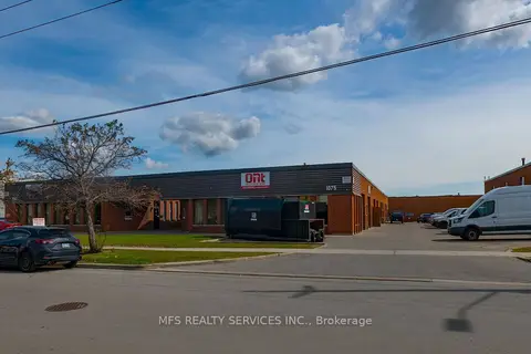
$7,490,000
1075-1087 Westport Crescent
Northeast, Mississauga
Industrial · MLS® W13816198 · MFS REALTY SERVICES INC.
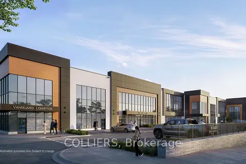
$7,151,880
4500 Tomken Road Unit 7
Northeast, Mississauga
Industrial · MLS® W13810764 · COLLIERS
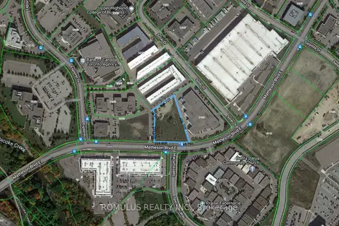
$8,848,000
5
Airport Corporate, Mississauga
Land · MLS® W12903238 · ROMULUS REALTY INC.
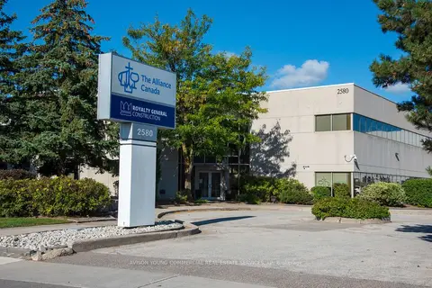
$8,300,000
2580 Matheson Boulevard E
Airport Corporate, Mississauga
Office · MLS® W13781266 · AVISON YOUNG COMMERCIAL REAL ESTATE SERVICES, LP
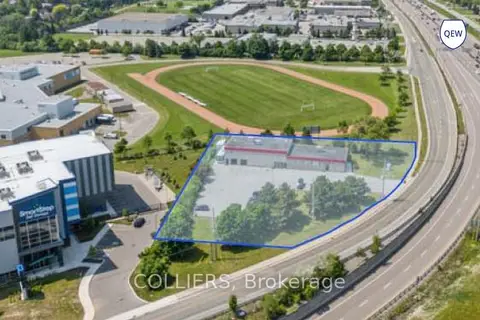
$7,999,999
6 ba
2100 South Sheridan Way
Clarkson, Mississauga
Industrial · MLS® W12306997 · COLLIERS
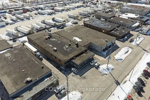
$9,249,000
1736-1746 Mattawa Avenue
Dixie, Mississauga
Industrial · MLS® W13603230 · COLLIERS
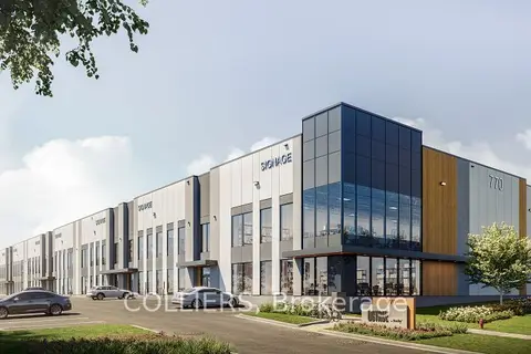
$7,398,600
1 ba
770 Southdown Road 103
Southdown, Mississauga
Industrial · MLS® W13718678 · COLLIERS
$7,382,760
1 ba
770 Southdown Road 104
Southdown, Mississauga
Industrial · MLS® W13718686 · COLLIERS