2100 South Sheridan Way
Clarkson, Mississauga, L5J 2M4
$7,999,999
- 6 bathrooms
Listed 452 days ago · MLS® W12306997
About this home
MINOR VARIANCE APPLICATION APPROVED: To allow 100% of the building to b used for DAYCARE USE. Rare freestanding building on 1.03 acres with ample parking. Opportunity for industrial, office, commercial, and retail users. Excellent exposure with direct QEW visibility and access. +/-200,000 vehicles passing daily. Building is air conditioned, has 6 washrooms, new windows in 2010, asphalt repaved in 2015, roof maintenance in 2014, and HVAC units replaced 2024. Flexible zoning and ideally suited for Tool / Equipment / Lawn Repair & Sales, BBQ / Fireplace / Pool / Repair & Supply Tire / Flooring / Auto / Motorcycle / Power Sports, Contractor Service Shop, Dance / Boxing / Yoga Studio, Restaurant / Convenience / Take Out, Electrical / Plumbing / Rental / Industrial Supply, Pet Grooming / Boarding / Doggy Daycare, Bakery / Butcher, Kitchen Cabinets, Golf Simulator, Vet Clinic, Medical School, Hotel, Daycare, Banquet Hall, Office, Funeral Home, Church, Bridal Store, Wholesaling & automotive dealership.
Details
- Type
- Industrial
- Lot
- 350 × 250 ft
- Garage
- Outside/Surface
- Property tax
- $34,263 (2025)
- Neighbourhood
- Clarkson
- Municipality
- Mississauga
Interior
- Bathrooms
- 6 × bathroom
Heating, cooling and services
- Heating
- Gas Forced Air Open
- Air conditioning
- Yes
- Water and sewer
- Septic
- Utilities
- Yes
Building and exterior
- Building area
- 9,000 Square Feet
More
- Possession
- 3 Months
- Cross street
- Southdown Road/QEW
Location
Location is approximate. See nearby homes on the map
Recent sales nearby
See what similar homes within 1 km sold for in the last year. Create a free account or sign in to see them.
The neighbourhood
Getting around Somewhat walkable
- 🚆 Clarkson GO1.6 km
Within a 10-minute walk: no grocery stores, 11 cafés and restaurants, 2 parks, 3 pharmacies. Nearest park: Kogaydiwin Park (300 m).
Schools nearby
Elementary
- École élémentaire Horizon Jeunesse French
EQAO: Gr 6 reading 100%, math 100%11 min walk - St. Louis School Catholic
EQAO: Gr 6 reading 83%, math 44%11 min walk - Hillcrest Public School
EQAO: Gr 6 reading 92%, math 62%14 min walk - Western Heights Montessori Academy Private1.2 km
Secondary
- Iona Secondary School Catholic
EQAO: Gr 9 math 57%, literacy test 83%3 min walk - Islamic Society of North America High School Private3 min walk
- Homelands Senior Public School1.4 km
EQAO: share of students meeting the provincial standard (2024–25). Ontario average: Gr 6 reading 86%, math 51%; Gr 9 math 55%; literacy test 83%.
Closest schools, not school zones. Check which school serves this address with the school board before relying on it.
Who lives here postal area L5J
- Owners / renters
- 74% / 26%
- Median household income
- $107,000
- Average age
- 43
- Children under 15
- 15%
- Homes
- 38% detached, 18% high-rise
- Commute by transit
- 10%
- Population
- 28,208
Languages spoken most at home besides English: Polish 2.1%, Mandarin 1.5%, Tagalog (Pilipino, Filipino) 1.4%, Arabic 1.2%.
Flood and conservation No mapped hazard
Not inside a mapped flood plain or regulated area in Credit Valley Conservation’s mapping.
Screening maps only. Ask the conservation authority for a property inquiry before relying on this.
Safety
Crime Severity Index for Peel Region (Mississauga/Brampton) police: 59 vs 57 for Ontario (2025).
Police-reported figures for the whole police service area, not this street. Rates use the area’s resident population.
Development nearby 2 active
-
1516 SOUTHDOWN RD (properties were merge together 1526 and 1516) · 500 mDevelopment application · In process · applied 2024Pdox transfer file sp 17-54 w2 || 2-storey office building
-
2251 North Sheridan Way · 350 mDevelopment application · In process · applied 20193 storey office building
Rezoning, site plan, subdivision and condominium applications filed with the city.
Distances are approximate. Places © OpenStreetMap contributors. Neighbourhood figures: Statistics Canada, 2021 Census. School results: EQAO via Ontario Data Catalogue (Open Government Licence – Ontario). Flood and regulation mapping: Credit Valley Conservation open data. Crime Severity Index: Statistics Canada. Planning applications: City of Mississauga open data.
Living here
Commute
To Union Station (downtown Toronto): 26 km. Transit times · Driving times
Noise 1 source nearby
- 🛣️ QEW50 m
Distances from the map, not noise measurements. Visit at rush hour to judge for yourself.
Internet High-speed
50/10 Mbps or faster available here by cable, fibre or DSL (the federal high-speed target).
From the federal broadband map. Check exact speeds and providers for the address.
Roads, rail, airports and planned stations © OpenStreetMap contributors. Internet: Innovation, Science and Economic Development Canada, National Broadband Data.
Listed by COLLIERS.
Listing information provided by PropTx Innovations Inc. and TRREB; deemed reliable but not guaranteed accurate by PropTx.
Similar homes nearby
See more in Mississauga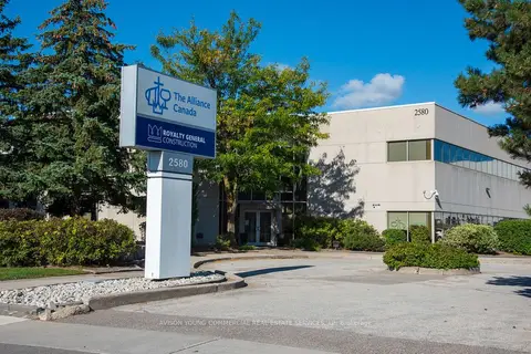
$8,300,000
2580 Matheson Boulevard E
Airport Corporate, Mississauga
Office · MLS® W13781266 · AVISON YOUNG COMMERCIAL REAL ESTATE SERVICES, LP
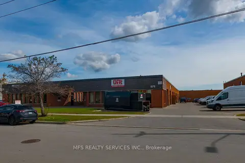
$7,490,000
1075-1087 Westport Crescent
Northeast, Mississauga
Industrial · MLS® W13816198 · MFS REALTY SERVICES INC.
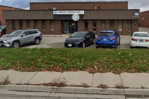
$8,575,000
6449 Netherhart Road
Northeast, Mississauga
Industrial · MLS® W13872530 · ROYAL LEPAGE REAL ESTATE SERVICES LTD.
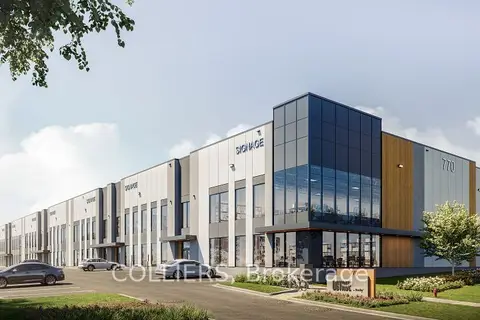
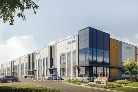
$7,398,600
1 ba
770 Southdown Road 103
Southdown, Mississauga
Industrial · MLS® W13718678 · COLLIERS
$7,382,760
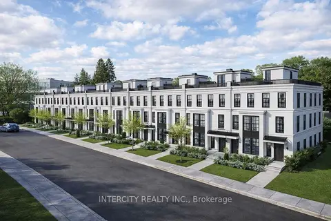
1 ba
770 Southdown Road 104
Southdown, Mississauga
Industrial · MLS® W13718686 · COLLIERS
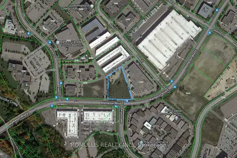
$7,299,000
1575 Hurontario Street
Mineola, Mississauga
Land · MLS® W13763056 · INTERCITY REALTY INC.
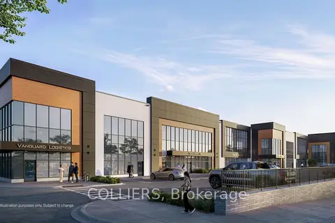
$8,848,000
5
Airport Corporate, Mississauga
Land · MLS® W12903238 · ROMULUS REALTY INC.
$7,151,880
4500 Tomken Road Unit 7
Northeast, Mississauga
Industrial · MLS® W13810764 · COLLIERS