505 Parkside Drive
High Park-Swansea, Toronto, M6R 2Z9
$1,995,000
Listed 38 days ago · MLS® W13773246
About this home
Discover an exceptional investment opportunity in one of Toronto's most desirable west-end locations. 505 Parkside Dr is a turnkey, upgraded property with 4 self-contained units, situated directly across from High Park and steps away from Keele TTC station. This property has been meticulously maintained by an experienced owner, ensuring operational efficiency and long-term stability. Recent upgrades include newer roofing, eavestroughs, downspouts and fascia, windows and blinds, vinyl flooring, 200 Amp electrical panel, tankless water heater, sump pumps (2), radiators, interior doors, and most appliances. Current rents are at market level and investors benefit from a **strong cap rate of 4.98%**, with minimal need for repositioning.Tenants benefit from efficient floorplans, outstanding convenience, and lifestyle appeal. The property is just a 3-minute walk to Keele Subway Station and only 15 minutes to the UP Express, ensuring seamless access to downtown and beyond. Steps from the lively Roncesvalles Village, residents have access to some of the city's best cafes, restaurants, and local shops, further enhancing tenant appeal and retention.A rare opportunity to acquire a turn-key asset in a premier west-end location with stable income, strong fundamentals, and enduring demand.
Details
- Type
- Investment
- Lot
- 24.18 × 100.07 ft
- Garage
- None
- Property tax
- $7,688 (2026)
- Neighbourhood
- High Park-Swansea
- Municipality
- Toronto W01
Heating, cooling and services
- Heating
- Radiant
- Air conditioning
- Yes
- Utilities
- Yes
Building and exterior
- Building area
- 2,024 Square Feet
More
- Possession
- 30/60/tbd
- Cross street
- Parkside Ave and Bloor St W
- Business type
- Apts - 2 To 5 Units
History of this address
3 earlier listings at this address, with sold and leased prices. Create a free account or sign in to see them.
Location
Location is approximate. See nearby homes on the map
Recent sales nearby
See what similar homes within 1 km sold for in the last year. Create a free account or sign in to see them.
The neighbourhood
Getting around Very walkable
- 🚇 Keele Subway3 min walk
- 🚇 High Park Subway9 min walk
- 🚆 Exhibition GO3.8 km
Within a 10-minute walk: 3 grocery stores, 51 cafés and restaurants, 12 parks, 8 pharmacies. Nearest grocery: Fresh Picked Fruit Market (500 m). Nearest park: Indian Mound Traffic Island (200 m).
Schools nearby
Elementary
- Mountview Alternative School Junior
EQAO: Gr 6 reading 83%, math 83%6 min walk - Keele Street Public School
EQAO: Gr 6 reading 98%, math 84%6 min walk - Howard Junior Public School
EQAO: Gr 6 reading 93%, math 87%11 min walk - Indian Road Crescent Junior Public School
EQAO: Gr 6 reading 84%, math 79%16 min walk
Secondary
- Bishop Marrocco/Thomas Merton Catholic Secondary School Catholic
EQAO: Gr 9 math 41%, literacy test 69%12 min walk - Lucy McCormick Senior School18 min walk
- Humberside Collegiate Institute
EQAO: Gr 9 math 80%, literacy test 96%18 min walk
EQAO: share of students meeting the provincial standard (2024–25). Ontario average: Gr 6 reading 86%, math 51%; Gr 9 math 55%; literacy test 83%.
Closest schools, not school zones. Check which school serves this address with the school board before relying on it.
Who lives here postal area M6R
- Owners / renters
- 51% / 49%
- Median household income
- $104,000
- Average age
- 40
- Children under 15
- 15%
- Homes
- 16% detached, 11% high-rise
- Commute by transit
- 23%
- Population
- 19,349
Languages spoken most at home besides English: Polish 1.8%, Spanish 0.5%, Portuguese 0.5%, Ukrainian 0.4%.
Flood and conservation Regulated area
This address is inside a conservation-authority regulated area (Toronto and Region Conservation Authority): near a valley, stream, shoreline or wetland, where flooding or erosion can occur. New building, additions, pools or grading usually need a permit from the authority.
Screening maps only. Ask the conservation authority for a property inquiry before relying on this.
Safety
Major crime per resident in High Park-Swansea (2025): 35% below the Toronto average, about the same from the year before.
- Assault39% below average
- Break and enter21% above average
- Auto theft60% below average
- Robbery41% below average
- Theft from vehicles39% below average
- Shootingsabout average
Crime Severity Index for Toronto police: 60 vs 57 for Ontario (2025).
Police-reported figures for the whole neighbourhood, not this street. Rates use the area’s resident population.
Development nearby 5 active
-
26 MOUNTVIEW AVE · 250 mOfficial Plan / Zoning By-law Amendment · Appeal Received · applied 2025Combined Official Plan & Zoning By-law Amendment application for two residential tall buildings (41-storey and 39-storey respectively) with a 6-storey podium.…Application details
-
1728 BLOOR ST W · 150 mSite Plan · Under Review · applied 2023Site Plan Approval for a 19-storey mixed use building with a total of 99 new dwelling units. The building will have a total gross floor area (GFA) of 6860…Application details
-
66 OAKMOUNT RD · 450 mPlan of Subdivision · Under Review · applied 2021Draft Plan of Subdivision for two development blocks.Application details
-
66 PACIFIC AVE · 450 mSite Plan · NOAC Issued · applied 2020The proposed development would maintain the existing four rental buildings on the lands, while proposing to demolish two blocks of existing townhouses…Application details
-
66 OAKMOUNT RD · 450 mSite Plan · NOAC Issued · applied 2020This is a site plan application that proposes one block of 5 3-storey townhouse, one 32 storey building, one 25 storey building, to be developed and added to…Application details
-
1730 BLOOR ST W · 150 mOfficial Plan / Zoning By-law Amendment · Closed · applied 2025Zoning By-law Amendment for a 25-storey mixed-use building and a total of 200 residential units with retail and office at grade.Application details
3 more within 500 m.
Rezoning, site plan, subdivision and condominium applications filed with the city.
Distances are approximate. Places © OpenStreetMap contributors. Neighbourhood figures: Statistics Canada, 2021 Census. School results: EQAO via Ontario Data Catalogue (Open Government Licence – Ontario). Flood and regulation mapping: Toronto and Region Conservation Authority open data. Neighbourhood crime: Toronto Police Service Public Safety Data Portal (Open Government Licence – Toronto Police Service). Crime Severity Index: Statistics Canada. Planning applications: City of Toronto open data.
Living here
Commute
To Union Station (downtown Toronto): 6 km. Transit times · Driving times
Noise Nothing major nearby
No highway within 500 m, rail line within 300 m, or airport flight path nearby.
Distances from the map, not noise measurements. Visit at rush hour to judge for yourself.
What can be built R
Residential (with a site-specific exception).
- ✅ Up to 6 homes on the lot (multiplex): a sixplex ward
- ✅ Garden suite in the backyard
- ✅ Laneway suite, if the lot backs onto a lane
From Toronto’s Zoning By-law 569-2013 map. Lot size, setbacks and trees decide what actually fits; check with a planner before you buy.
Building permits
No building permits at this address since 2014.
3 permits on this block of the street in the last 2 years, including 2 new homes.
Permits filed with the City of Toronto. A permit doesn’t mean the work passed final inspection.
Trees
37 City street trees within 100 m, mostly maples. That’s about the Toronto average of 42.
Trees on City boulevards only, not private yards or parks.
Internet High-speed
50/10 Mbps or faster available here by cable, fibre or DSL (the federal high-speed target).
From the federal broadband map. Check exact speeds and providers for the address.
Zoning, heritage, building permits and street trees: City of Toronto open data (Open Government Licence – Toronto). Roads, rail, airports and planned stations © OpenStreetMap contributors. Internet: Innovation, Science and Economic Development Canada, National Broadband Data.
Listed by ROYAL LEPAGE TERREQUITY BESPOKE REALTY.
Listing information provided by PropTx Innovations Inc. and TRREB; deemed reliable but not guaranteed accurate by PropTx.
Similar homes nearby
See more in Toronto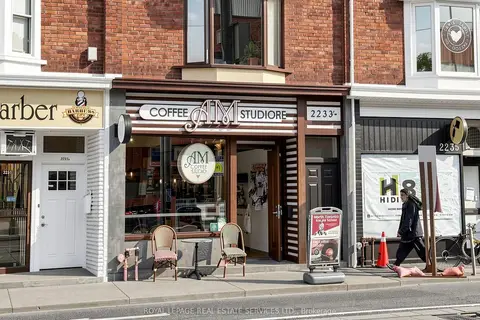
$1,899,000
5 ba
2233 Dundas Street W
High Park-Swansea, Toronto
Store W Apt/Office · MLS® W13835538 · ROYAL LEPAGE REAL ESTATE SERVICES LTD.
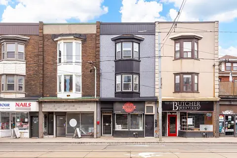
$2,195,000
5 ba
2243 Dundas Street W
High Park-Swansea, Toronto
Store W Apt/Office · MLS® W13763074 · ROYAL LEPAGE SIGNATURE REALTY
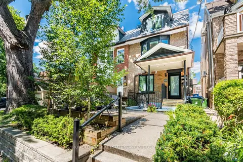
$2,199,000
238 Garden Avenue
High Park-Swansea, Toronto
Investment · MLS® W13786864 · ROYAL LEPAGE REAL ESTATE SERVICES LTD.
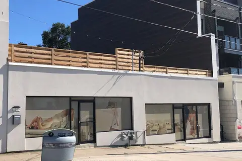
$1,997,000
2 ba
1517-1519 O Connor Drive
O'Connor-Parkview, Toronto
Commercial Retail · MLS® E13834122 · INTERNATIONAL REALTY FIRM, INC.
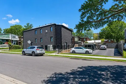
$1,998,000
8 ba
1659 Gerrard Street E
Woodbine Corridor, Toronto
Investment · MLS® E13689614 · RE/MAX REALTY SPECIALISTS INC.
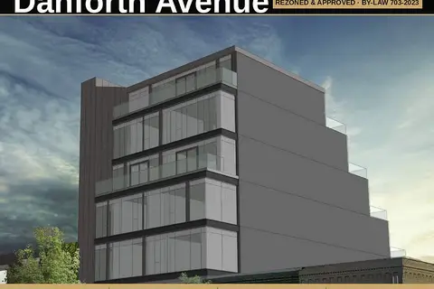
$1,999,800
1793 Danforth Avenue
Woodbine Corridor, Toronto
Land · MLS® E13474532 · HARVEY KALLES REAL ESTATE LTD.
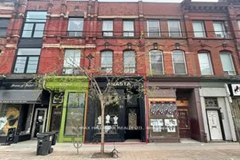
$1,999,900
173 Queen Street E
Moss Park, Toronto
Store W Apt/Office · MLS® C13640418 · RE/MAX HALLMARK REALTY LTD.
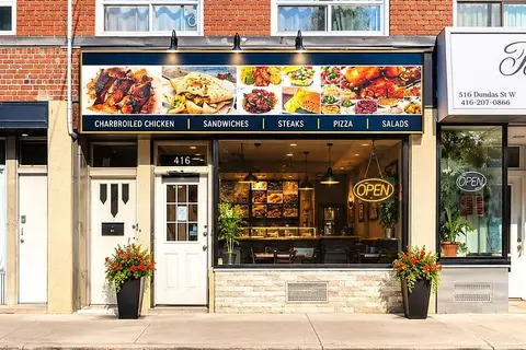
$1,999,900
5118 Dundas Street W
Islington-City Centre West, Toronto
Store W Apt/Office · MLS® W13793354 · SUTTON GROUP-ADMIRAL REALTY INC.