5118 Dundas Street W
Islington-City Centre West, Toronto, M9A 1C2
$1,999,900
Listed 34 days ago · MLS® W13793354
About this home
Prime Dundas Street Mixed-Use Opportunity! Multiple Income Streams. fantastic opportunity to own a versatile mixed-use property in a highly visible and sought-after area of Dundas Street West, very close to the new Etobicoke Civic Centre. Enjoy excellent exposure, heavy vehicular and pedestrian traffic, four parking spaces, and a location surrounded by established residential neighbourhood, business, and ongoing area activity. The property features a restaurant on the main level and two residential units above - one 2-bedroom and one 1--bedroom. With four parking spots, prominent Dundas Street West exposure, multiple income streams, and proximity to the new Etobicoke Civic Centre, this property offers an attractive combination of commercial and residential potential. Whether you're looking for an investment property with a multiple revenue sources, an owner-operated opportunity, or a property with room to increase income, this is an opportunity worth exploring. Commercial exposure, residential income potential, parking, transit connectivity, and future growth - this is an opportunity to be part of one of Etobicoke's evolving and highly activity areas.
Details
- Type
- Store W Apt/Office
- Lot
- 19.25 × 141 ft
- Garage
- None
- Property tax
- $13,373 (2025)
- Neighbourhood
- Islington-City Centre West
- Municipality
- Toronto W08
Heating, cooling and services
- Heating
- Water Radiators
- Air conditioning
- Partial
- Water and sewer
- Sanitary+Storm
- Utilities
- Available
Building and exterior
- Building area
- 2,716 Square Feet
More
- Possession
- TBD
- Cross street
- Dundas St W & Kipling
History of this address
1 earlier listing at this address, with sold and leased prices. Create a free account or sign in to see them.
Location
Location is approximate. See nearby homes on the map
Recent sales nearby
See what similar homes within 1 km sold for in the last year. Create a free account or sign in to see them.
The neighbourhood
Getting around Very walkable
- 🚇 Islington Subway11 min walk
- 🚇 Kipling Subway12 min walk
- 🚆 Kipling GO16 min walk
Within a 10-minute walk: 7 grocery stores, 34 cafés and restaurants, 3 parks, 7 pharmacies. Nearest grocery: Divine Food (550 m). Nearest park: Michael Power Park (200 m).
Schools nearby
Elementary
- Islington Junior Middle School
EQAO: Gr 6 reading 84%, math 41%8 min walk - Filipok Russian Junior School10 min walk
- Our Lady of Peace Catholic School Catholic
EQAO: Gr 6 reading 84%, math 60%10 min walk - Wedgewood Junior School
EQAO: Gr 3 reading 80%, math 76%16 min walk
Secondary
- Etobicoke Collegiate Institute
EQAO: Gr 9 math 73%, literacy test 90%16 min walk
EQAO: share of students meeting the provincial standard (2024–25). Ontario average: Gr 6 reading 86%, math 51%; Gr 9 math 55%; literacy test 83%.
Closest schools, not school zones. Check which school serves this address with the school board before relying on it.
Who lives here postal area M9A
- Owners / renters
- 51% / 49%
- Median household income
- $93,000
- Average age
- 44
- Children under 15
- 13%
- Homes
- 32% detached, 58% high-rise
- Commute by transit
- 24%
- Population
- 36,642
Languages spoken most at home besides English: Spanish 2.3%, Ukrainian 2.1%, Portuguese 1.7%, Korean 1.5%.
Flood and conservation No mapped hazard
Not inside a mapped flood plain or regulated area.
Screening maps only. Ask the conservation authority for a property inquiry before relying on this.
Safety
Major crime per resident in Islington (2025): 28% below the Toronto average, down 24% from the year before.
- Assault49% below average
- Break and enter55% above average
- Auto theft24% below average
- Robbery50% below average
- Theft from vehicles32% below average
- Shootings56% below average
Crime Severity Index for Toronto police: 60 vs 57 for Ontario (2025).
Police-reported figures for the whole neighbourhood, not this street. Rates use the area’s resident population.
Development nearby 10 active
-
5207 DUNDAS ST W · 500 mSite Plan · Under Review · applied 2026Site Plan Administrative application in relation to file #22 212809 WET 03 SA.
-
970 KIPLING AVE · 500 mOfficial Plan / Zoning By-law Amendment · Under Review · applied 2026An application to amend the Zoning By-law to Lift the "(H)" Holding Symbol, applied by Zoning By-law 492-2026.Application details
-
970 KIPLING AVE · 500 mSite Plan · Under Review · applied 2026Proposed 43-storey tower and a 28-storey tower. The Subject Site will include 839 purpose-built rental apartments comprised of 198 affordable units and 641…Application details
-
1006 KIPLING AVE · 300 mSite Plan · Under Review · applied 2025The proposed development comprises a 7-storey (23.55 metre), 46-unit apartment building, containing 2 studio units (4%), 21 one-bedroom units (46%), and 23…Application details
-
56 FIELDWAY RD · 500 mSite Plan · Under Review · applied 2023Site Plan application proposing to redevelop the site into a mixed-use community comprised of four tall buildings at 12, 23, 34 and 42 storeys. The proposal…Application details
-
36 FIELDWAY RD · 450 mSite Plan · NOAC Issued · applied 2022Current SPA resubmission proposes 8,060.9 square metres of total gross floor area (GFA), a Floor Space Index (FSI) of 3.62 times the area of the lot, a mix of…Application details
9 more within 500 m.
Rezoning, site plan, subdivision and condominium applications filed with the city.
Distances are approximate. Places © OpenStreetMap contributors. Neighbourhood figures: Statistics Canada, 2021 Census. School results: EQAO via Ontario Data Catalogue (Open Government Licence – Ontario). Neighbourhood crime: Toronto Police Service Public Safety Data Portal (Open Government Licence – Toronto Police Service). Crime Severity Index: Statistics Canada. Planning applications: City of Toronto open data.
Living here
Commute
To Union Station (downtown Toronto): 12 km. Transit times · Driving times
Noise Nothing major nearby
No highway within 500 m, rail line within 300 m, or airport flight path nearby.
Distances from the map, not noise measurements. Visit at rush hour to judge for yourself.
Building permits
- Interior Alterations · 2016 · Permit IssuedProposal for change of use to assembly occupancy from take out. Changes to doors and partitions to washrooms and storage rooms in basement.…
4 permits on this block of the street in the last 2 years.
Permits filed with the City of Toronto. A permit doesn’t mean the work passed final inspection.
Trees
20 City street trees within 100 m, mostly honeys. That’s fewer than the Toronto average of 42.
Trees on City boulevards only, not private yards or parks.
Internet High-speed
50/10 Mbps or faster available here by cable, fibre or DSL (the federal high-speed target).
From the federal broadband map. Check exact speeds and providers for the address.
Zoning, heritage, building permits and street trees: City of Toronto open data (Open Government Licence – Toronto). Roads, rail, airports and planned stations © OpenStreetMap contributors. Internet: Innovation, Science and Economic Development Canada, National Broadband Data.
Listed by SUTTON GROUP-ADMIRAL REALTY INC..
Listing information provided by PropTx Innovations Inc. and TRREB; deemed reliable but not guaranteed accurate by PropTx.
Similar homes nearby
See more in Toronto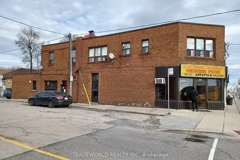
$1,880,000
6 ba
1260 The Queensway
Islington-City Centre West, Toronto
Commercial Retail · MLS® W13550506 · TRADEWORLD REALTY INC
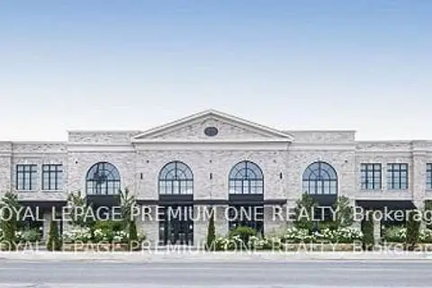
$1,740,990
66 Jutland Road 6B
Islington-City Centre West, Toronto
Office · MLS® W12762990 · ROYAL LEPAGE PREMIUM ONE REALTY
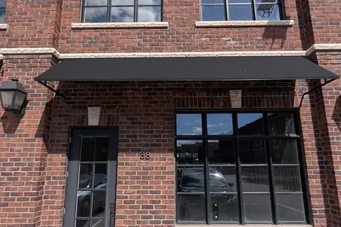
$1,639,000
74 Jutland Road 38
Islington-City Centre West, Toronto
Commercial Retail · MLS® W13856136 · RE/MAX DASH REALTY
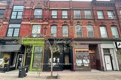
$1,999,900
173 Queen Street E
Moss Park, Toronto
Store W Apt/Office · MLS® C13640418 · RE/MAX HALLMARK REALTY LTD.
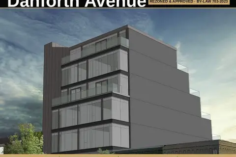
$1,999,800
1793 Danforth Avenue
Woodbine Corridor, Toronto
Land · MLS® E13474532 · HARVEY KALLES REAL ESTATE LTD.
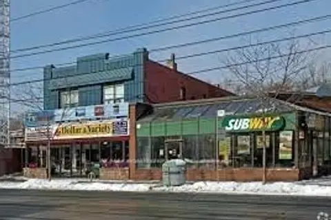
$2,000,000
2386 Lake Shore Boulevard W
Mimico, Toronto
Commercial Retail · MLS® W13425278 · RE/MAX REALTRON REALTY INC.
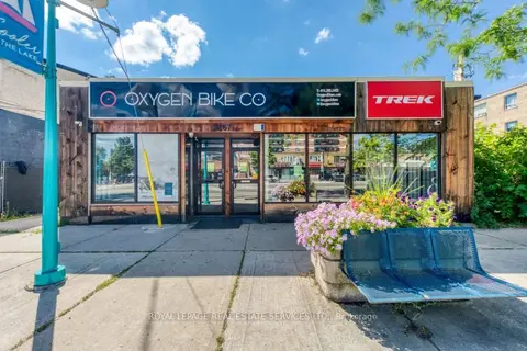
$2,000,000
Reduced $99,999
2 ba
3267 Lake Shore Boulevard W
Long Branch, Toronto
Commercial Retail · MLS® W13758888 · ROYAL LEPAGE REAL ESTATE SERVICES LTD.
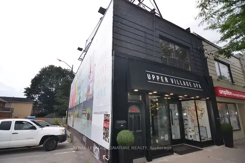
$1,998,000
Reduced $290,000
997 Eglinton Avenue W
Humewood-Cedarvale, Toronto
Commercial Retail · MLS® C13708730 · ROYAL LEPAGE SIGNATURE REALTY