39 Pendrith Street
Dovercourt-Wallace Emerson-Junction, Toronto, M6G 1R6
$1,379,000
Reduced $71,000 from $1,450,000
- 3 bedrooms
- 3 bathrooms
- 3 parking
- 1100-1500 sq ft
Listed 26 days ago · MLS® W13826536
About this home
An Exceptional Opportunity In The Heart Of Christie Pits! This Versatile 2-Storey Semi Offers A Rare Combination Of Location, Lifestyle And Income Potential. Featuring Three Kitchens,Three Bathrooms And Multiple Living Areas, The Property Offers Tremendous Flexibility For Investors, Multi-Generational Families Or Buyers Looking To Live In One Space While Generating Income From The Others. A Detached 2-Car Garage Adds Even More Value In This Highly Walkable,Transit-Friendly Neighbourhood. Just Steps From Christie Pits Park And Minutes To Christie Subway Station, Bloor Street Shops, Cafés, Restaurants And Everyday Amenities. Enjoy One Of Toronto's Most Connected West-End Neighbourhoods With Downtown Easily Accessible By TTC, Bike Or Car. A Unique Opportunity To Own A Flexible Income Property In A Location That Continues ToBe In Demand.
Details
- Type
- Semi-Detached
- Style
- 2-Storey
- Age
- 51-99 years
- Size
- 1100-1500 sq ft
- Lot
- 16.83 × 130 ft
- Basement
- Apartment
- Garage
- Detached
- Kitchens
- 2
- Property tax
- $6,422 (2026)
- Neighbourhood
- Dovercourt-Wallace Emerson-Junction
- Municipality
- Toronto W02
Interior
- Bedrooms
- 3 above ground
- Bathrooms
- 1 × 3-piece (second), 1 × 3-piece (basement), 1 × 3-piece (main)
- Rooms
- 9 above ground + 6 below
- Family room or den
- Yes
- Fireplace
- Yes
Heating, cooling and services
- Heating
- Forced Air, Gas
- Air conditioning
- Central Air
- Water and sewer
- Sewer
Building and exterior
- Style
- 2-Storey
- Exterior
- Brick Front, Vinyl Siding
- Roof
- Shingles
- Foundation
- Brick
- Age
- 51-99 years
- Faces
- North
Parking
- Garage spaces
- 1
- Total parking
- 3
Lot
- Size
- 16.83 × 130 ft (rectangular)
More
- Possession
- 60/90
- Cross street
- Bloor & Christie St
Rooms
| Room | Level | Size | Features |
|---|---|---|---|
| Living Room | Main | 8.08 × 2.74 m (26'6" × 9') | |
| Bedroom | Main | 3.84 × 3.44 m (12'7" × 11'3") | |
| Kitchen | Main | 4.02 × 2.83 m (13'2" × 9'3") | |
| Bedroom | Second | 4.05 × 3.53 m (13'3" × 11'7") | |
| Kitchen | Second | 4.09 × 3.11 m (13'5" × 10'2") | |
| Living Room | Second | 3.03 × 3.03 m (9'11" × 9'11") | |
| Bedroom | Basement | 3.71 × 4.11 m (12'2" × 13'6") | |
| Living Room | Basement | 3.57 × 3.02 m (11'9" × 9'11") |
History of this address
1 earlier listing at this address, with sold and leased prices. Create a free account or sign in to see them.
Location
Location is approximate. See nearby homes on the map
Recent sales nearby
See what similar homes within 1 km sold for in the last year. Create a free account or sign in to see them.
The neighbourhood
Getting around Very walkable
- 🚇 Christie Subway6 min walk
- 🚇 Ossington Subway10 min walk
- 🚆 Exhibition GO3.4 km
Within a 10-minute walk: 12 grocery stores, 140 cafés and restaurants, 20 parks, 10 pharmacies. Nearest grocery: Fiesta Farms (200 m). Nearest park: Christie Pits Park (250 m).
Schools nearby
Elementary
- Hawthorne II Bilingual Alternative Junior School
EQAO: Gr 6 reading 94%, math 67%3 min walk - Essex Junior and Senior Public School
EQAO: Gr 6 reading 80%, math 28%3 min walk - École élémentaire catholique du Sacré-Coeur-Toronto French
EQAO: Gr 6 reading 80%, math 40%3 min walk - Palmerston Avenue Junior Public School
EQAO: Gr 6 reading 88%, math 73%8 min walk
Secondary
- The Bickford Centre8 min walk
- West End Alternative Secondary School8 min walk
- Apollo High School9 min walk
EQAO: share of students meeting the provincial standard (2024–25). Ontario average: Gr 6 reading 86%, math 51%; Gr 9 math 55%; literacy test 83%.
Closest schools, not school zones. Check which school serves this address with the school board before relying on it.
Who lives here postal area M6G
- Owners / renters
- 49% / 51%
- Median household income
- $91,000
- Average age
- 43
- Children under 15
- 12%
- Homes
- 13% detached, 8% high-rise
- Commute by transit
- 25%
- Population
- 30,600
Languages spoken most at home besides English: Portuguese 3.2%, Yue (Cantonese) 2.6%, Italian 1.6%, Greek 1.2%.
Flood and conservation No mapped hazard
Not inside a mapped flood plain or regulated area.
Screening maps only. Ask the conservation authority for a property inquiry before relying on this.
Safety
Major crime per resident in Dovercourt Village (2025): about the Toronto average, down 14% from the year before.
- Assault27% above average
- Break and enter25% above average
- Auto theft43% below average
- Robberyabout average
- Theft from vehicles32% below average
- Shootingsnone reported
Crime Severity Index for Toronto police: 60 vs 57 for Ontario (2025).
Police-reported figures for the whole neighbourhood, not this street. Rates use the area’s resident population.
Development nearby 2 active
-
287 CHRISTIE ST · 450 mSite Plan · NOAC Issued · applied 2022Site Plan Approval application to faciliate the development of a 9-storey mixed-use building with a total of 65 residential dwelling units and 14 parking…Application details
-
270 BARTON AVE · 150 mSite Plan · NOAC Issued · applied 2018Proposal to construct a new three-storey elementary school for the Toronto District Catholic School Board.Application details
Rezoning, site plan, subdivision and condominium applications filed with the city.
Distances are approximate. Places © OpenStreetMap contributors. Neighbourhood figures: Statistics Canada, 2021 Census. School results: EQAO via Ontario Data Catalogue (Open Government Licence – Ontario). Neighbourhood crime: Toronto Police Service Public Safety Data Portal (Open Government Licence – Toronto Police Service). Crime Severity Index: Statistics Canada. Planning applications: City of Toronto open data.
Living here
Commute
To Union Station (downtown Toronto): 4 km. Transit times · Driving times
Noise Nothing major nearby
No highway within 500 m, rail line within 300 m, or airport flight path nearby.
Distances from the map, not noise measurements. Visit at rush hour to judge for yourself.
What can be built R
Residential.
- ✅ Up to 6 homes on the lot (multiplex): a sixplex ward
- ✅ Garden suite in the backyard
- ✅ Laneway suite, if the lot backs onto a lane
From Toronto’s Zoning By-law 569-2013 map. Lot size, setbacks and trees decide what actually fits; check with a planner before you buy.
Building permits
No building permits at this address since 2014.
5 permits on this block of the street in the last 2 years, including 1 new home.
Permits filed with the City of Toronto. A permit doesn’t mean the work passed final inspection.
Trees
35 City street trees within 100 m. That’s about the Toronto average of 42.
Trees on City boulevards only, not private yards or parks.
Internet High-speed
50/10 Mbps or faster available here by cable, fibre or DSL (the federal high-speed target).
From the federal broadband map. Check exact speeds and providers for the address.
Short-term rentals
Only in your principal residence (where you live). The entire home can be rented up to 180 nights a year; renting up to 3 bedrooms while you live there has no limit. Hosts register with the City and collect the 6% accommodation tax.
Zoning, heritage, building permits and street trees: City of Toronto open data (Open Government Licence – Toronto). Roads, rail, airports and planned stations © OpenStreetMap contributors. Internet: Innovation, Science and Economic Development Canada, National Broadband Data.
Listed by RE/MAX REALTY ENTERPRISES INC..
Listing information provided by PropTx Innovations Inc. and TRREB; deemed reliable but not guaranteed accurate by PropTx.
Similar homes nearby
See more in Toronto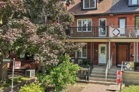
$1,398,888
Reduced $230,000
3+1 bd3 ba2 pk1500-2000 ft²
299 Delaware Avenue
Dovercourt-Wallace Emerson-Junction, Toronto
Semi-Detached · MLS® W13781858 · RE/MAX ULTIMATE REALTY INC.
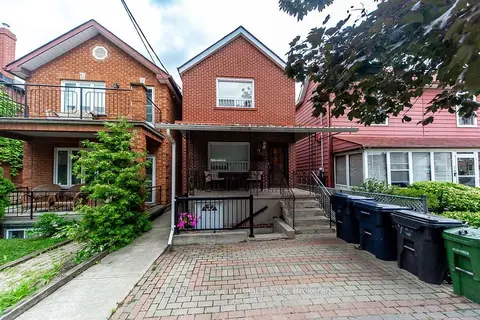
$1,399,000
4+1 bd3 ba1100-1500 ft²
77 Brandon Avenue
Dovercourt-Wallace Emerson-Junction, Toronto
Detached · MLS® W13601416 · Royal LePage Security Real Estate
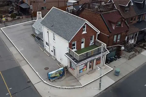
$1,399,000
4 bd4 ba6 pk2000-2500 ft²
1160 Dufferin Street
Dovercourt-Wallace Emerson-Junction, Toronto
Multiplex · MLS® W13755600 · ROYAL LEPAGE REAL ESTATE SERVICES LTD.
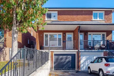 New
$1,399,999
3+1 bd3 ba3 pk1100-1500 ft²
451 Westmoreland Avenue N
Dovercourt-Wallace Emerson-Junction, Toronto
Semi-Detached · MLS® W14100084 · ROYAL LEPAGE MEADOWTOWNE REALTY
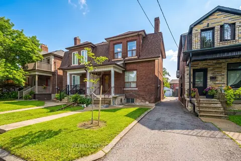
$1,349,900
4 bd3 ba3 pk1500-2000 ft²
257 Delaware Avenue
Dovercourt-Wallace Emerson-Junction, Toronto
Semi-Detached · MLS® W13878710 · RE/MAX WEST REALTY INC.
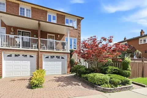
$1,339,000
3 bd2 ba2 pk1100-1500 ft²
98 Beaver Terrace
Dovercourt-Wallace Emerson-Junction, Toronto
Semi-Detached · MLS® W13776648 · RIGHT AT HOME REALTY
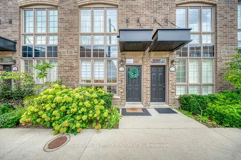
$1,339,000
3 bd3 ba1 pk1500-2000 ft²
26 Ernest Avenue 20
Dovercourt-Wallace Emerson-Junction, Toronto
Att/Row/Townhouse · MLS® W13791394 · CENTURY 21 PERCY FULTON LTD.
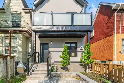
$1,300,888
3 bd4 ba1 pk1100-1500 ft²
204 Franklin Avenue
Dovercourt-Wallace Emerson-Junction, Toronto
Detached · MLS® W13859212 · LPT Realty