1952 Lapad Court
Erin Mills, Mississauga, L5L 5R1
$1,799,000
- 4+2 bedrooms
- 6 bathrooms
- 8 parking
- 3000-3500 sq ft
Listed 5 days ago · MLS® W14080536
About this home
Rarely offered and truly one of a kind, this exceptional home is tucked away on a prestigious cul-de-sac just off Mississauga Road, set on a spectacular ravine lot that feels worlds away from the city. Step inside to a home filled with character and style, from the moody formal living room to the picturesque dining space and sun-soaked kitchen overlooking the lush natural surroundings. Out back, your own private Muskoka-inspired escape awaits-peaceful, secluded and surrounded by mature greenery. The newly renovated main-floor primary suite offers a serene retreat, complete with a sleek new 3-piece ensuite and spacious walk-in closet. An incredible opportunity to own a truly special property in one of Mississauga's most sought-after pockets, just steps to UTM, scenic trails, shops, excellent schools and everyday amenities.
Details
- Type
- Detached
- Style
- 2-Storey
- Size
- 3000-3500 sq ft
- Lot
- 54.76 × 141.7 ft
- Basement
- Finished with Walk-Out
- Garage
- Attached
- Kitchens
- 1
- Property tax
- $16,986 (2026)
- Neighbourhood
- Erin Mills
- Municipality
- Mississauga
- Price per sq ft
- $554 (11% below detached houses in Erin Mills, $622)
Interior
- Bedrooms
- 4 above ground + 2 below
- Bathrooms
- 1 × 2-piece, 3 × 4-piece, 2 × 3-piece
- Rooms
- 8 above ground
- Family room or den
- No
- Fireplace
- Yes
Heating, cooling and services
- Heating
- Forced Air, Gas
- Air conditioning
- Central Air
- Water and sewer
- Sewer
Building and exterior
- Style
- 2-Storey
- Exterior
- Brick
- Roof
- Shingles
- Faces
- South
Parking
- Garage spaces
- 2
- Total parking
- 8
- Driveway and parking
- Private
Lot
- Size
- 54.76 × 141.7 ft
More
- Possession
- TBD
- Cross street
- Mississauga Rd/Burnhamthorpe
Location
Location is approximate. See nearby homes on the map
Recent sales nearby
See what similar homes within 1 km sold for in the last year. Create a free account or sign in to see them.
The neighbourhood
Getting around Somewhat walkable
- 🚆 Erindale GO1.5 km
Within a 10-minute walk: 1 grocery store, 2 cafés and restaurants, 5 parks. Nearest grocery: iQbal Foods (1000 m). Nearest park: Woodchuck Green (250 m).
Schools nearby
Elementary
- Sawmill Valley Public School
EQAO: Gr 3 reading 89%, math 77%6 min walk - St. Mark Separate School Catholic
EQAO: Gr 6 reading 92%, math 63%6 min walk - Queenston Drive Public School
EQAO: Gr 6 reading 83%, math 51%1.3 km - École élémentaire catholique Saint-Jean-Baptiste Catholic · French
EQAO: Gr 6 reading 89%, math 66%1.5 km
Secondary
- Erin Mills Middle School1.6 km
- St. Kateri Tekakwitha Catholic Learning Centre Catholic1.6 km
- Erindale Secondary School
EQAO: Gr 9 math 59%, literacy test 87%1.9 km
EQAO: share of students meeting the provincial standard (2024–25). Ontario average: Gr 6 reading 86%, math 51%; Gr 9 math 55%; literacy test 83%.
Closest schools, not school zones. Check which school serves this address with the school board before relying on it.
Who lives here postal area L5L
- Owners / renters
- 79% / 21%
- Median household income
- $110,000
- Average age
- 43
- Children under 15
- 15%
- Homes
- 46% detached, 16% high-rise
- Commute by transit
- 9%
- Population
- 43,585
Languages spoken most at home besides English: Mandarin 2.8%, Polish 2.1%, Urdu 2.1%, Arabic 2%.
Flood and conservation Regulated area
This address is inside a conservation-authority regulated area (Credit Valley Conservation): near a valley, stream, shoreline or wetland, where flooding or erosion can occur. New building, additions, pools or grading usually need a permit from the authority.
Screening maps only. Ask the conservation authority for a property inquiry before relying on this.
Safety
Crime Severity Index for Peel Region (Mississauga/Brampton) police: 59 vs 57 for Ontario (2025).
Police-reported figures for the whole police service area, not this street. Rates use the area’s resident population.
Development nearby
No planning applications within 500 m in the last five years.
Rezoning, site plan, subdivision and condominium applications filed with the city.
Distances are approximate. Places © OpenStreetMap contributors. Neighbourhood figures: Statistics Canada, 2021 Census. School results: EQAO via Ontario Data Catalogue (Open Government Licence – Ontario). Flood and regulation mapping: Credit Valley Conservation open data. Crime Severity Index: Statistics Canada.
Living here
Commute
To Union Station (downtown Toronto): 26 km. Transit times · Driving times
Noise Nothing major nearby
No highway within 500 m, rail line within 300 m, or airport flight path nearby.
Distances from the map, not noise measurements. Visit at rush hour to judge for yourself.
Internet High-speed
50/10 Mbps or faster available here by cable, fibre or DSL (the federal high-speed target).
From the federal broadband map. Check exact speeds and providers for the address.
Short-term rentals
Only in your principal residence, with a City licence: not allowed in investment properties. Up to 180 nights a year, no more than 30 in a row.
Roads, rail, airports and planned stations © OpenStreetMap contributors. Internet: Innovation, Science and Economic Development Canada, National Broadband Data.
Listed by RE/MAX PROFESSIONALS INC..
Listing information provided by PropTx Innovations Inc. and TRREB; deemed reliable but not guaranteed accurate by PropTx.
Similar homes nearby
See more in Mississauga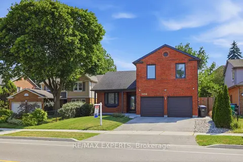
$1,799,990
Reduced $199,910
4+1 bd4 ba4 pk2500-3000 ft²
3656 Sawmill Valley Drive
Erin Mills, Mississauga
Detached · MLS® W13579998 · RE/MAX EXPERTS
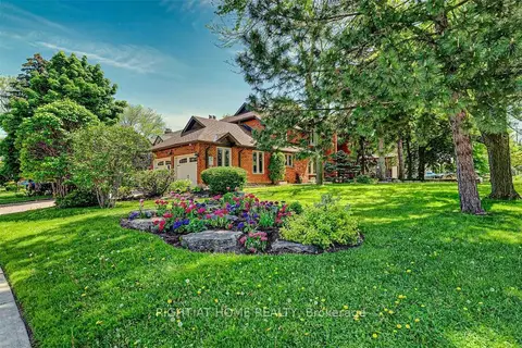
$1,799,999
5+2 bd7 ba7 pk3000-3500 ft²
4326 Bridlepath Trail
Erin Mills, Mississauga
Detached · MLS® W13656122 · RIGHT AT HOME REALTY
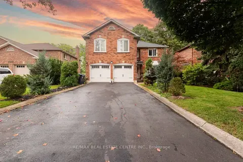
$1,797,400
5+1 bd4 ba6 pk3000-3500 ft²
3683 East Park Court
Erin Mills, Mississauga
Detached · MLS® W13515270 · RE/MAX REAL ESTATE CENTRE INC.
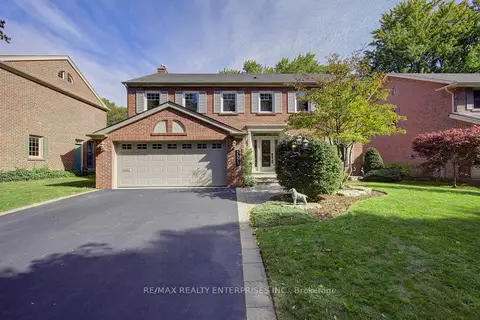
$1,788,000
4+2 bd4 ba6 pk2500-3000 ft²
3523 Kingbird Court
Erin Mills, Mississauga
Detached · MLS® W13877630 · RE/MAX REALTY ENTERPRISES INC.
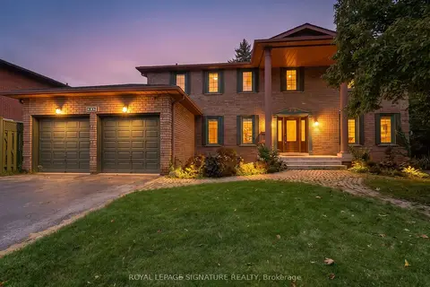
$1,779,900
5+3 bd4 ba6 pk2500-3000 ft²
4302 Bridlepath Trail
Erin Mills, Mississauga
Detached · MLS® W14026314 · ROYAL LEPAGE SIGNATURE REALTY
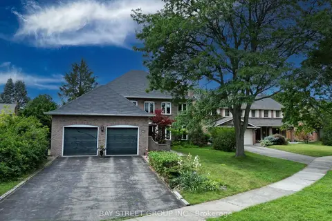
$1,860,000
4 bd4 ba6 pk2500-3000 ft²
3530 Kingbird Court
Erin Mills, Mississauga
Detached · MLS® W13812366 · BAY STREET GROUP INC.
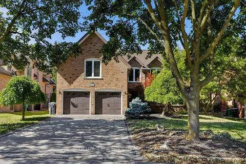
$1,869,000
5+1 bd4 ba6 pk3000-3500 ft²
4279 Bridlepath Trail
Erin Mills, Mississauga
Detached · MLS® W14082856 · ROYAL LEPAGE REAL ESTATE SERVICES LTD.
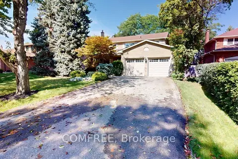
$1,699,900
Reduced $50,000
4 bd3 ba8 pk2500-3000 ft²
2043 Burbank Drive
Erin Mills, Mississauga
Detached · MLS® W13804304 · COMFREE