1159 Dundas Street E 149
North Riverdale, Toronto, M4M 3N9
$1,295,000
Listed 17 days ago · MLS® E13854684
About this home
Step into a true hard loft at the iconic Izone building, where soaring ceilings and exposed, reclaimed textures whisper the history of the space while offering a canvas for modern living. This isn't just a home - it's 1,754 square feet of raw potential, waiting for your vision. Sunlight pours through oversized west-facing windows, washing the open living areas in warm afternoon light. A dramatic glass garage door acts as the loft's signature feature, dividing the live and work zones without sacrificing an ounce of brightness - the perfect solution for entrepreneurs, creatives, or anyone craving flexible space. Direct street front access opens the door to endless business possibilities, while coveted underground parking with in-unit access adds rare convenience you won't find just anywhere. With 2 bedrooms and 2 full bathrooms, there's room to live, work, and entertain in style. Every detail has been considered, right down to the included appliances - fridge, stove, dishwasher, microwave, washer and dryer - plus a beverage fridge tucked into the bar, and a large built-in projector screen for movie nights or presentations. Just steps from everything that makes Leslieville one of Toronto's most beloved neighbourhoods- this is loft living with character, flexibility, and undeniable charm. Under 10 minute walk to the new ONTARIO LINE- Leslieville station. Also listed for sale- residential MLS
Details
- Type
- Commercial Retail
- Garage
- Underground
- Property tax
- $5,110 (2026)
- Neighbourhood
- North Riverdale
- Municipality
- Toronto E01
Heating, cooling and services
- Heating
- Radiant
- Air conditioning
- Yes
- Utilities
- Yes
Building and exterior
- Building area
- 1,754 Square Feet
More
- Possession
- Flexible
- Cross street
- Carlaw and Dundas Ave E
History of this address
4 earlier listings at this address, with sold and leased prices. Create a free account or sign in to see them.
Location
Location is approximate. See nearby homes on the map
Recent sales nearby
See what similar homes within 1 km sold for in the last year. Create a free account or sign in to see them.
The neighbourhood
Getting around Very walkable
- 🚇 Pape Subway1.7 km
- 🚇 Chester Subway1.7 km
- 🚆 Toronto Union Station GO3.8 km
Within a 10-minute walk: 12 grocery stores, 101 cafés and restaurants, 21 parks, 9 pharmacies. Nearest grocery: The Source Bulk Foods (450 m). Nearest park: Carlaw-Dundas Triangle Park (50 m).
Schools nearby
Elementary
- Morse Street Junior Public School
EQAO: Gr 6 reading 85%, math 71%8 min walk - Dundas Junior Public School
EQAO: Gr 3 reading 66%, math 53%9 min walk - Pape Avenue Junior Public School
EQAO: Gr 6 reading 98%, math 71%10 min walk - Bruce Public School
EQAO: Gr 6 reading 93%, math 43%13 min walk
Secondary
- Eastdale Collegiate Institute9 min walk
- Queen Alexandra Middle School11 min walk
- SEED Alternative School11 min walk
EQAO: share of students meeting the provincial standard (2024–25). Ontario average: Gr 6 reading 86%, math 51%; Gr 9 math 55%; literacy test 83%.
Closest schools, not school zones. Check which school serves this address with the school board before relying on it.
Who lives here postal area M4M
- Owners / renters
- 56% / 44%
- Median household income
- $99,000
- Average age
- 40
- Children under 15
- 14%
- Homes
- 6% detached, 25% high-rise
- Commute by transit
- 25%
- Population
- 25,052
Languages spoken most at home besides English: Yue (Cantonese) 6.3%, Mandarin 3.5%, Vietnamese 1.5%, Spanish 0.6%.
Flood and conservation No mapped hazard
Not inside a mapped flood plain or regulated area.
Screening maps only. Ask the conservation authority for a property inquiry before relying on this.
Safety
Major crime per resident in South Riverdale (2025): about the Toronto average, down 17% from the year before.
- Assaultabout average
- Break and enter40% above average
- Auto theftabout average
- Robberyabout average
- Theft from vehicles65% above average
- Shootings61% below average
Crime Severity Index for Toronto police: 60 vs 57 for Ontario (2025).
Police-reported figures for the whole neighbourhood, not this street. Rates use the area’s resident population.
Development nearby 5 active
-
425 CARLAW AVE · 450 mSite Plan · Under Review · applied 2024Site Plan Control Placeholder for Gerrard Station, one of the stations included in the Ontario Line Elevated Guideway and Stations contract.Application details
-
929 QUEEN ST E · 450 mSite Plan · NOAC Issued · applied 2023Application for Site Plan Control to permit a 9-storey mixed use building, containing 78 rental units and 195 square metres of commercial gross floor area.Application details
-
1001 QUEEN ST E · 500 mSite Plan · NOAC Issued · applied 2018Site Plan Control application fpr a proposed mixed use building with an overall height of 6-storeys (inclusive of mechanical). A total of 16 residential units…Application details
-
15 BUSY ST · 400 mSite Plan · NOAC Issued · applied 2018Site Plan Control application associated with Zoning By-law amendment to allow the redevelopment of a parking lot with a 6-unit townhouse block(1828.0 sq. m.).…Application details
-
354-358 PAPE AVE · 450 mSite Plan · Under Review · applied 2014Combine application for rezoning and site plan approval to permit a proposed mixed use development. The proposed building will be 8 storeys (24.6 metres in…
-
929 QUEEN ST E · 450 mOfficial Plan / Zoning By-law Amendment · Closed · applied 2022OPA and Rezoning for a 10-storey mixed-use building (including mezzanine) having a non-residential gross floor area of 213.5 square metres, and a residential…Application details
1 more within 500 m.
Rezoning, site plan, subdivision and condominium applications filed with the city.
Distances are approximate. Places © OpenStreetMap contributors. Neighbourhood figures: Statistics Canada, 2021 Census. School results: EQAO via Ontario Data Catalogue (Open Government Licence – Ontario). Neighbourhood crime: Toronto Police Service Public Safety Data Portal (Open Government Licence – Toronto Police Service). Crime Severity Index: Statistics Canada. Planning applications: City of Toronto open data.
Living here
Commute
To Union Station (downtown Toronto): 4 km. Transit times · Driving times
Coming transit
- 🚧 Gerrard 350 m
- 🚧 Leslieville Ontario Line600 m · opening early 2030s
- 🚧 East Harbour Ontario Line1.1 km · opening early 2030s
Stations under construction or approved. Opening dates are the latest public estimates and often move.
Noise 1 source nearby
- 🚆 Rail line (Kingston Subdivision)150 m
Distances from the map, not noise measurements. Visit at rush hour to judge for yourself.
Building permits
- Other · 2019 · ClosedProposal to enlarge an existing opening to unit 150.
- Interior Alterations · 2019 · ClosedProposal for interior alteration to add a door to Artist Studio
- Interior Alterations · 2018 · CancelledProposals for interior alteration to unit 149 in the existing mix use building.(aka 320 Carlaw av)
Permits filed with the City of Toronto. A permit doesn’t mean the work passed final inspection.
Trees
16 City street trees within 100 m. That’s fewer than the Toronto average of 42.
Trees on City boulevards only, not private yards or parks.
Internet High-speed
50/10 Mbps or faster available here by cable, fibre or DSL (the federal high-speed target).
From the federal broadband map. Check exact speeds and providers for the address.
Zoning, heritage, building permits and street trees: City of Toronto open data (Open Government Licence – Toronto). Roads, rail, airports and planned stations © OpenStreetMap contributors. Internet: Innovation, Science and Economic Development Canada, National Broadband Data.
Listed by CHESTNUT PARK REAL ESTATE LIMITED.
Listing information provided by PropTx Innovations Inc. and TRREB; deemed reliable but not guaranteed accurate by PropTx.
Similar homes nearby
See more in Toronto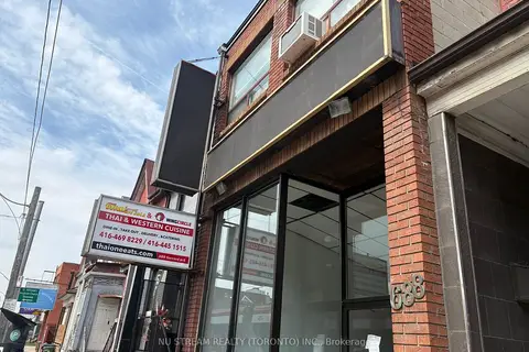
$1,200,000
5 ba
688 Gerrard Street
North Riverdale, Toronto
Commercial Retail · MLS® E12890690 · NU STREAM REALTY (TORONTO) INC.
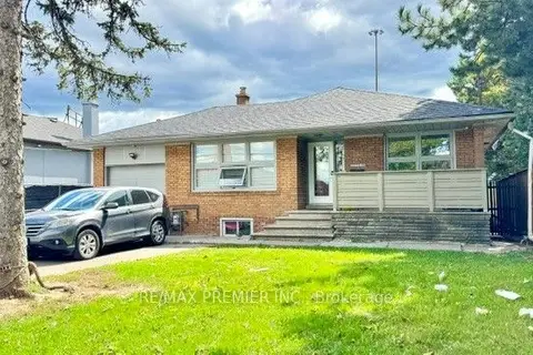
$1,295,000
59 Beverly Hills Drive
Downsview-Roding-CFB, Toronto
Investment · MLS® W13793926 · RE/MAX PREMIER INC.
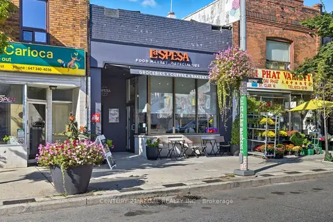
$1,295,000
2 ba
1700 St Clair Avenue W
Weston-Pellam Park, Toronto
Commercial Retail · MLS® W13847186 · CENTURY 21 REGAL REALTY INC.
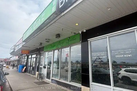
$1,298,000
2685 Eglinton Avenue E
Kennedy Park, Toronto
Commercial Retail · MLS® E13495848 · RE/MAX METROPOLIS REALTY
$1,299,000
4750 yonge Street 102
Lansing-Westgate, Toronto
Store W Apt/Office · MLS® C12217874 · HOMELIFE LANDMARK REALTY INC.
$1,299,000
Reduced $50,000
98 Sudbury Street
Little Portugal, Toronto
Commercial Retail · MLS® C12851864 · RIGHT AT HOME REALTY
$1,299,000
374 Spadina Avenue
Kensington-Chinatown, Toronto
Land · MLS® C13517338 · CENTURY 21 ATRIA REALTY INC.
$1,299,000
3226 Eglinton Avenue E
Scarborough Village, Toronto
Store W Apt/Office · MLS® E13637246 · HOMELIFE LANDMARK REALTY INC.