1106 House Road
329 - Mulgrave, Fort Erie, L0S 1N0
$1,799,900
- 3 bedrooms
- 2 bathrooms
- 30 parking
- 1500-2000 sq ft
Listed 92 days ago · MLS® X13585884
About this home
Stunning 20 acres in Ridgeway/Stevensville Fabulous property with so many possibilities. Work, play, live, and invest all in one place.Situated in the Town of Fort Erie, this Ridgeway property is located minutes from Crystal Beach and Lake Erie, with a short drive to the QEW. Current 2000sqft building split between residence and dog boarding/daycare. Property also has outdoor horse boarding with an arena 70'x100' Approximately 17 acres are currently being used for a cash crop. Current Agricultural zoning allows for one single detached dwelling plus one accessory dwelling and many different business uses. The building was strategically designed so it can be converted for many other uses if desired. Turnkey Dog Kennel business is available. Rare opportunity for future development with 20 cleared acres in the country. Builders looking for the next best neighbourhood to develop... you have found it!!! Directly off Garrison Rd (Hwy 3): buyers must do their own due diligence with the city in respect to the services available, property uses/zoning and severability. Taxes reflect commercial business and can be changed if no business is operating.
Details
- Type
- Detached
- Style
- Bungalow
- Age
- 6-15 years
- Size
- 1500-2000 sq ft
- Lot
- 610.38 × 1335.64 ft
- Basement
- None
- Garage
- None
- Kitchens
- 1
- Property tax
- $8,162 (2026)
- Neighbourhood
- 329 - Mulgrave
- Municipality
- Fort Erie
- Price per sq ft
- $1,029 (131% above detached houses in Fort Erie, $444)
Interior
- Bedrooms
- 3 above ground
- Bathrooms
- 1 × 2-piece (main), 1 × 4-piece (main)
- Rooms
- 7 above ground
- Family room or den
- No
- Fireplace
- No
Heating, cooling and services
- Heating
- Gas
- Air conditioning
- Central Air
- Water and sewer
- Septic
Building and exterior
- Style
- Bungalow
- Exterior
- Vinyl Siding
- Age
- 6-15 years
- Faces
- East
Parking
- Total parking
- 30
- Driveway and parking
- Private
Lot
- Size
- 610.38 × 1335.64 ft
- Acreage
- 10-24.99
More
- Possession
- 60-90 days/TBA
- Nearby
- Clear View
- Cross street
- Garrison & House
Rooms
| Room | Level | Size | Features |
|---|---|---|---|
| Kitchen | Main | 3.96 × 3.66 m (13' × 12') | |
| Living Room | Main | 3.66 × 4.27 m (12' × 14') | |
| Sitting | Main | 2.44 × 2.44 m (8' × 8') | |
| Foyer | Main | 3.66 × 4.27 m (12' × 14') | |
| Primary Bedroom | Main | 3.35 × 4.57 m (11' × 15') | |
| Bedroom 2 | Main | 3.05 × 3.35 m (10' × 11') | |
| Office | Main | 2.44 × 3.35 m (8' × 11') | W/O To Deck |
| Bedroom 3 | Main | 3.05 × 3.05 m (10' × 10') |
History of this address
10 earlier listings at this address, with sold and leased prices. Create a free account or sign in to see them.
Location
Location is approximate. See nearby homes on the map
Recent sales nearby
See what similar homes within 1 km sold for in the last year. Create a free account or sign in to see them.
The neighbourhood
Getting around Car-dependent
No subway, LRT or GO station within a short trip.
Within a 10-minute walk: no grocery stores, 0 cafés and restaurants, 0 parks.
Who lives here postal area L0S
- Owners / renters
- 87% / 13%
- Median household income
- $95,000
- Average age
- 48
- Children under 15
- 13%
- Homes
- 83% detached, 1% high-rise
- Commute by transit
- 0%
- Population
- 60,409
Languages spoken most at home besides English: Spanish 0.4%, Mandarin 0.4%, German 0.4%, Polish 0.2%.
Flood and conservation No mapped hazard
Not inside a mapped flood plain or regulated area in Niagara Peninsula Conservation’s mapping.
Screening maps only. Ask the conservation authority for a property inquiry before relying on this.
Safety
Crime Severity Index for Niagara Region (St. Catharines) police: 54 vs 57 for Ontario (2025).
Police-reported figures for the whole police service area, not this street. Rates use the area’s resident population.
Distances are approximate. Places © OpenStreetMap contributors. Neighbourhood figures: Statistics Canada, 2021 Census. Flood and regulation mapping: Niagara Peninsula Conservation open data. Crime Severity Index: Statistics Canada.
Living here
Commute
To Union Station (downtown Toronto): 86 km. Transit times · Driving times
Noise Nothing major nearby
No highway within 500 m, rail line within 300 m, or airport flight path nearby.
Distances from the map, not noise measurements. Visit at rush hour to judge for yourself.
Internet High-speed
50/10 Mbps or faster available here by cable, fibre or DSL (the federal high-speed target).
From the federal broadband map. Check exact speeds and providers for the address.
Roads, rail, airports and planned stations © OpenStreetMap contributors. Internet: Innovation, Science and Economic Development Canada, National Broadband Data.
Listed by EXP REALTY.
Listing information provided by PropTx Innovations Inc. and TRREB; deemed reliable but not guaranteed accurate by PropTx.
Similar homes nearby
See more in Fort Erie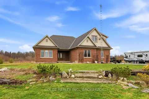
$1,490,000
Reduced $109,000
5 bd3 ba14 pk2000-2500 ft²
4720 College Road
329 - Mulgrave, Fort Erie
Farm · MLS® X13122680 · BOLDT REALTY INC., BROKERAGE
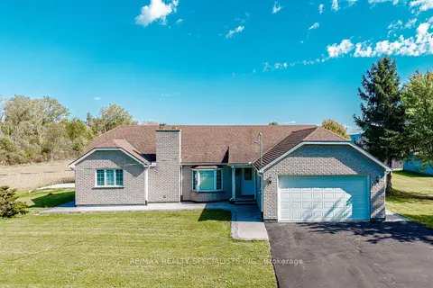
$1,850,000
2+2 bd3 ba12 pk1100-1500 ft²
500 HOLLOWAY BAY Road
336 - Point Abino, Fort Erie
Detached · MLS® X13878142 · RE/MAX REALTY SPECIALISTS INC.
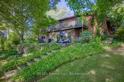
$1,699,900
2 bd2 ba8 pk2500-3000 ft²
254 Prospect Point Road
335 - Ridgeway, Fort Erie
Detached · MLS® X13704060 · REVEL Realty Inc., Brokerage
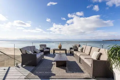
$1,650,000
Reduced $99,000
3 bd3 ba15 pk1500-2000 ft²
4347 Erie Road
337 - Crystal Beach, Fort Erie
Detached · MLS® X13790548 · RE/MAX ABOUTOWNE REALTY CORP.
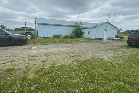
$1,990,000
Reduced $400,000
0 bd0 ba50 pk< 700 ft²
5320 Netherby Road E
327 - Black Creek, Fort Erie
Farm · MLS® X13166994 · HOMELIFE SUPERSTARS REAL ESTATE LIMITED
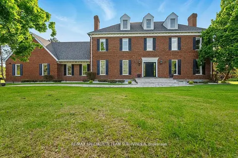
$1,999,000
6 bd4 ba12 pk5000 + ft²
891 Rosehill Road
334 - Crescent Park, Fort Erie
Duplex · MLS® X12882544 · RE/MAX SPECIALISTS TEAM SUKHVINDER
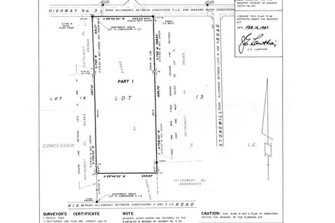
$1,999,900
0 bd0 ba
0-12047 GARRISON Road
335 - Ridgeway, Fort Erie
Vacant Land · MLS® X9410856 · ROYAL LEPAGE NRC REALTY
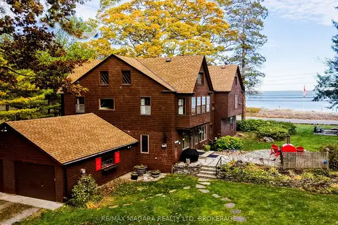
$1,999,999
5 bd4 ba16 pk3500-5000 ft²
725 Point Abino Road S
337 - Crystal Beach, Fort Erie
Detached · MLS® X13573662 · RE/MAX NIAGARA REALTY LTD, BROKERAGE