951 Wilson Avenue 14U
Downsview-Roding-CFB, Toronto, M3K 2A8
$3,000/mo
Listed 316 days ago · MLS® W12608926
About this home
Bright, spacious, and beautifully updated 2nd-floor professional office space in a high-traffic plaza at Keele & Wilson. Ideally located minutes from HWY 401, HWY 400, Allen Rd., and the new Humber River Hospital, this unit offers exceptional convenience and exposure for any professional or medical practice. Situated above a dental office (no further dental use permitted), the space is perfectly suited for medical specialists, family physicians,physiotherapy, wellness and health services, law offices, accounting firms, consulting practices, spa services, and other professional uses. Featuring large windows throughout, the unit benefits from abundant natural light, creating a welcoming and productive environment. The interior offers high ceilings, hardwood floors, 2 washrooms, a kitchenette, and a private balcony, providing comfort and functionality for both staff and clients. Exceptionally clean,the layout provides flexibility for various configurations, treatment rooms, private offices,or open workspace.Located in a bustling plaza with ample free visitor parking, the property also enjoys excellent accessibility via public transit and proximity to major amenities and residential communities.A turnkey opportunity for professionals seeking a well maintained, accessible, and highly visible office space in one of North York's most convenient corridors.
Details
- Type
- Office
- Garage
- Outside/Surface
- Neighbourhood
- Downsview-Roding-CFB
- Municipality
- Toronto W05
Heating, cooling and services
- Heating
- Gas Forced Air Closed
- Air conditioning
- Partial
- Water and sewer
- Sanitary
- Utilities
- Yes
Building and exterior
- Building area
- 1,500 Square Feet
Rental terms
- Minimum term
- 12 months
More
- Possession
- ASAP
- Cross street
- Keele & Wilson
- Business type
- Professional Office
Location
Location is approximate. See nearby homes on the map
The neighbourhood
Getting around Very walkable
- 🚇 Wilson Subway2.2 km
- 🚇 Yorkdale Subway2.3 km
- 🚆 Downsview Park GO2.8 km
Within a 10-minute walk: 4 grocery stores, 22 cafés and restaurants, 4 parks, 5 pharmacies. Nearest grocery: Metro (450 m). Nearest park: Dubary Parkette (300 m).
Schools nearby
Elementary
- Downsview Public School10 min walk
- Ancaster Public School
EQAO: Gr 3 reading 53%, math 41%14 min walk - St. Raphael Catholic School Catholic
EQAO: Gr 6 reading 89%, math 44%16 min walk - St. Norbert Catholic School Catholic
EQAO: Gr 6 reading 90%, math 57%18 min walk
Secondary
- Madonna Catholic Secondary School Catholic
EQAO: Gr 9 math 39%, literacy test 82%3 min walk - Downsview Secondary School
EQAO: Gr 9 math 26%, literacy test 59%6 min walk - Pierre Laporte Middle School1.4 km
EQAO: share of students meeting the provincial standard (2024–25). Ontario average: Gr 6 reading 86%, math 51%; Gr 9 math 55%; literacy test 83%.
Closest schools, not school zones. Check which school serves this address with the school board before relying on it.
Who lives here postal area M3K
- Owners / renters
- 59% / 41%
- Median household income
- $88,000
- Average age
- 40
- Children under 15
- 15%
- Homes
- 47% detached, 1% high-rise
- Commute by transit
- 27%
- Population
- 7,865
Languages spoken most at home besides English: Tagalog (Pilipino, Filipino) 6%, Italian 5.9%, Spanish 4%, Portuguese 2.1%.
Flood and conservation No mapped hazard
Not inside a mapped flood plain or regulated area.
Screening maps only. Ask the conservation authority for a property inquiry before relying on this.
Safety
Major crime per resident in Downsview (2025): about the Toronto average, about the same from the year before.
- Assaultabout average
- Break and enterabout average
- Auto theft48% above average
- Robbery60% above average
- Theft from vehiclesabout average
- Shootingsabout average
Crime Severity Index for Toronto police: 60 vs 57 for Ontario (2025).
Police-reported figures for the whole neighbourhood, not this street. Rates use the area’s resident population.
Development nearby
No planning applications within 500 m in the last five years.
Rezoning, site plan, subdivision and condominium applications filed with the city.
Distances are approximate. Places © OpenStreetMap contributors. Neighbourhood figures: Statistics Canada, 2021 Census. School results: EQAO via Ontario Data Catalogue (Open Government Licence – Ontario). Neighbourhood crime: Toronto Police Service Public Safety Data Portal (Open Government Licence – Toronto Police Service). Crime Severity Index: Statistics Canada. Planning applications: City of Toronto open data.
Living here
Commute
To Union Station (downtown Toronto): 12 km. Transit times · Driving times
Noise 2 sources nearby
- 🛣️ Highway 401400 m
- 🚆 Rail line (Newmarket Subdivision)200 m
Distances from the map, not noise measurements. Visit at rush hour to judge for yourself.
Building permits
- Interior Alterations · 2018 · ClosedProposal for interior alterations to existing retail unit for repairs in the basement due to water damage - UNIT 12
- Interior Alterations · 2017 · InspectionProposal for interior alterations to the ground floor of an existing office building - Unit 19
- Interior Alterations · 2016 · ClosedInterior alterations to create a new dental clinic (300m2)
1 permit on this block of the street in the last 2 years.
Permits filed with the City of Toronto. A permit doesn’t mean the work passed final inspection.
Trees
17 City street trees within 100 m, mostly honeys. That’s fewer than the Toronto average of 42.
Trees on City boulevards only, not private yards or parks.
Internet High-speed
50/10 Mbps or faster available here by cable, fibre or DSL (the federal high-speed target).
From the federal broadband map. Check exact speeds and providers for the address.
Zoning, heritage, building permits and street trees: City of Toronto open data (Open Government Licence – Toronto). Roads, rail, airports and planned stations © OpenStreetMap contributors. Internet: Innovation, Science and Economic Development Canada, National Broadband Data.
Listed by REMAX YOUR COMMUNITY REALTY.
Listing information provided by PropTx Innovations Inc. and TRREB; deemed reliable but not guaranteed accurate by PropTx.
Similar homes nearby
See more in Toronto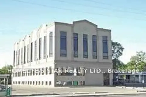
$3,000/mo
845 Wilson Avenue
Downsview-Roding-CFB, Toronto
Office · MLS® W13881822 · HOMELIFE/5 STAR REALTY LTD.
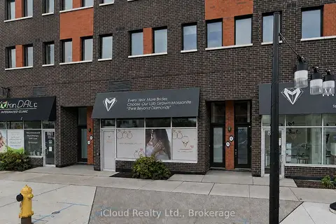
$2,900/mo
1 ba
863 Wilson Avenue
Downsview-Roding-CFB, Toronto
Commercial Retail · MLS® W13705010 · iCloud Realty Ltd.
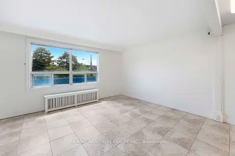
$2,900/mo
930 Wilson Avenue 1
Downsview-Roding-CFB, Toronto
Office · MLS® W13756660 · RE/MAX REALTRON REALTY INC.
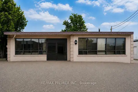
$3,400/mo
1 ba
17 Oakland Avenue B
Downsview-Roding-CFB, Toronto
Office · MLS® W13649406 · RE/MAX PREMIER INC.
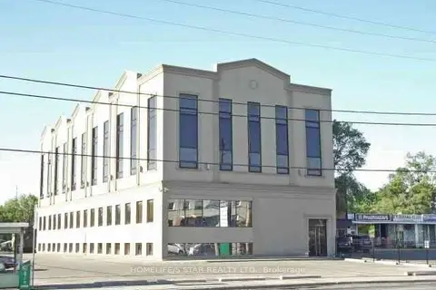
$2,500/mo
845 Wilson Avenue
Downsview-Roding-CFB, Toronto
Office · MLS® W12862508 · HOMELIFE/5 STAR REALTY LTD.
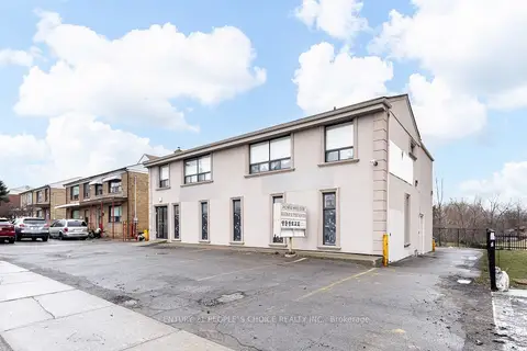
$3,500/mo
3042 Keele Street
Downsview-Roding-CFB, Toronto
Office · MLS® W13628994 · CENTURY 21 PEOPLE`S CHOICE REALTY INC.
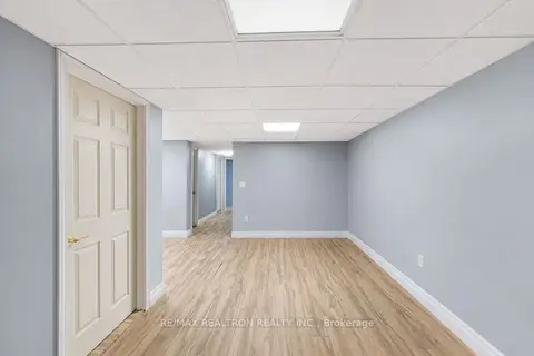
$2,400/mo
930 Wilson Avenue BSMT
Downsview-Roding-CFB, Toronto
Office · MLS® W13756704 · RE/MAX REALTRON REALTY INC.
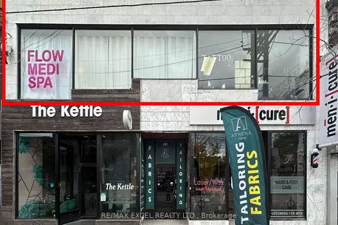
$3,000/mo
Reduced $1,500
685 Queen Street W Upper Front Unit
Niagara, Toronto
Commercial Retail · MLS® C13501388 · RE/MAX EXCEL REALTY LTD.