894 Queen Street E
South Riverdale, Toronto, M4M 1J3
$2,750,000
Listed 105 days ago · MLS® E13533226
About this home
Positioned in the heart of trendy, high-traffic Leslieville, this meticulously maintained mixed-use property represents a turnkey investment with a great Net Operating Income and future development intensification upside. The column-free, street-level commercial space features a prominent Queen Street East frontage with high pedestrian visibility, currently occupied by a well-established anchor restaurant with a secure, long-term lease. Above, two expansive, full-floor walk-up residential apartments boast bright layouts, high ceilings, and significant rental upside-ideal for premium market-rent leasing or a sophisticated owner-occupier suite. The building has been flawlessly upkept by the current owner with extensive, high-ticket capital improvements, including a complete roof replacement new skylights (May 2023), a new A/C (August 2023), and a new boiler installed (September 2024). Featuring a highly coveted rear lane access for convenient loading and parking, this property is entirely worry-free. Situated steps from Jimmie Simpson Park and the upcoming Ontario Line transit hub, this versatile asset combines immediate cash flow from premier local tenancy with long-term capital appreciation in Toronto's most sought-after east-end commercial corridor. A brochure with financial information about this Listing is available.
Details
- Type
- Store W Apt/Office
- Lot
- 20.5 × 100 ft
- Garage
- None
- Property tax
- $22,358 (2025)
- Neighbourhood
- South Riverdale
- Municipality
- Toronto E01
Heating, cooling and services
- Heating
- Gas Forced Air Closed
- Air conditioning
- Yes
- Utilities
- Yes
Building and exterior
- Building area
- 4,230 Square Feet
More
- Possession
- Immediate
- Cross street
- Queen/Booth
Location
Location is approximate. See nearby homes on the map
Recent sales nearby
See what similar homes within 1 km sold for in the last year. Create a free account or sign in to see them.
The neighbourhood
Getting around Very walkable
- 🚇 Chester Subway2.1 km
- 🚇 Pape Subway2.2 km
- 🚆 Toronto Union Station GO3.5 km
Within a 10-minute walk: 10 grocery stores, 89 cafés and restaurants, 21 parks, 8 pharmacies. Nearest grocery: Leslieville Cheese Market East & Fine Foods (50 m). Nearest park: Jimmie Simpson Park (150 m).
Schools nearby
Elementary
- Morse Street Junior Public School
EQAO: Gr 6 reading 85%, math 71%4 min walk - Dundas Junior Public School
EQAO: Gr 3 reading 66%, math 53%7 min walk - Bruce Public School
EQAO: Gr 6 reading 93%, math 43%12 min walk - St. Joseph Catholic School Catholic
EQAO: Gr 6 reading 92%, math 58%17 min walk
Secondary
- Queen Alexandra Middle School9 min walk
- SEED Alternative School9 min walk
- Eastdale Collegiate Institute12 min walk
EQAO: share of students meeting the provincial standard (2024–25). Ontario average: Gr 6 reading 86%, math 51%; Gr 9 math 55%; literacy test 83%.
Closest schools, not school zones. Check which school serves this address with the school board before relying on it.
Who lives here postal area M4M
- Owners / renters
- 56% / 44%
- Median household income
- $99,000
- Average age
- 40
- Children under 15
- 14%
- Homes
- 6% detached, 25% high-rise
- Commute by transit
- 25%
- Population
- 25,052
Languages spoken most at home besides English: Yue (Cantonese) 6.3%, Mandarin 3.5%, Vietnamese 1.5%, Spanish 0.6%.
Flood and conservation No mapped hazard
Not inside a mapped flood plain or regulated area.
Screening maps only. Ask the conservation authority for a property inquiry before relying on this.
Safety
Major crime per resident in South Riverdale (2025): about the Toronto average, down 17% from the year before.
- Assaultabout average
- Break and enter40% above average
- Auto theftabout average
- Robberyabout average
- Theft from vehicles65% above average
- Shootings61% below average
Crime Severity Index for Toronto police: 60 vs 57 for Ontario (2025).
Police-reported figures for the whole neighbourhood, not this street. Rates use the area’s resident population.
Development nearby 10 active
-
797 QUEEN ST E · 300 mSite Plan · Under Review · applied 2024Site Plan Control Placeholder for Leslieville Station, one of the stations included in the Ontario Line Elevated Guideway and Stations contract.Application details
-
462 EASTERN AVE · 300 mPlan of Condominium · Draft Plan Approved · applied 2024Draft Plan of Condominium for 1 storey retail condominium, consisting of 5 retail condominium units and 10 parking units.Application details
-
929 QUEEN ST E · 200 mSite Plan · NOAC Issued · applied 2023Application for Site Plan Control to permit a 9-storey mixed use building, containing 78 rental units and 195 square metres of commercial gross floor area.Application details
-
786 QUEEN ST E · 350 mSite Plan · NOAC Issued · applied 2023Site Plan application to permit a 6 storey mixed use building, containing 15 residential units and 69.64 square metres of ground floor commercial GFA.Application details
-
26 B LEWIS ST · 450 mPlan of Subdivision · Under Review · applied 2021Draft Plan of Subdivision for 2 blocks.Application details
-
26 B LEWIS ST · 450 mOfficial Plan / Zoning By-law Amendment · OMB Appeal · applied 2021Official Plan and Zoning By-law amendment to facilitate the development of the site for a 12-storey mixed-use building having a non-residential gross floor…Application details
7 more within 500 m.
Rezoning, site plan, subdivision and condominium applications filed with the city.
Distances are approximate. Places © OpenStreetMap contributors. Neighbourhood figures: Statistics Canada, 2021 Census. School results: EQAO via Ontario Data Catalogue (Open Government Licence – Ontario). Neighbourhood crime: Toronto Police Service Public Safety Data Portal (Open Government Licence – Toronto Police Service). Crime Severity Index: Statistics Canada. Planning applications: City of Toronto open data.
Living here
Commute
To Union Station (downtown Toronto): 3 km. Transit times · Driving times
Coming transit
- 🚧 Leslieville Ontario Line250 m · opening early 2030s
- 🚧 East Harbour Ontario Line700 m · opening early 2030s
- 🚧 Gerrard 750 m
Stations under construction or approved. Opening dates are the latest public estimates and often move.
Noise 1 source nearby
- 🚆 Rail line (Kingston Subdivision)200 m
Distances from the map, not noise measurements. Visit at rush hour to judge for yourself.
What can be built CR
Commercial Residential (with a site-specific exception).
From Toronto’s Zoning By-law 569-2013 map. Lot size, setbacks and trees decide what actually fits; check with a planner before you buy.
Building permits
No building permits at this address since 2014.
8 permits on this block of the street in the last 2 years.
Permits filed with the City of Toronto. A permit doesn’t mean the work passed final inspection.
Trees
47 City street trees within 100 m. That’s about the Toronto average of 42.
Trees on City boulevards only, not private yards or parks.
Internet High-speed
50/10 Mbps or faster available here by cable, fibre or DSL (the federal high-speed target).
From the federal broadband map. Check exact speeds and providers for the address.
Zoning, heritage, building permits and street trees: City of Toronto open data (Open Government Licence – Toronto). Roads, rail, airports and planned stations © OpenStreetMap contributors. Internet: Innovation, Science and Economic Development Canada, National Broadband Data.
Listed by ROYAL LEPAGE TERREQUITY REALTY.
Listing information provided by PropTx Innovations Inc. and TRREB; deemed reliable but not guaranteed accurate by PropTx.
Similar homes nearby
See more in Toronto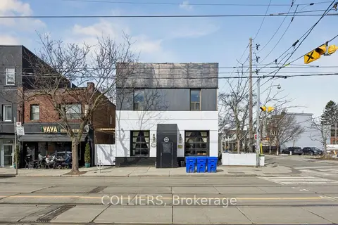
$2,650,000
1192 Queen Street E
South Riverdale, Toronto
Commercial Retail · MLS® E13034324 · COLLIERS
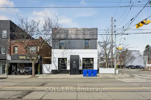
$2,650,000
1192 Queen Street E
South Riverdale, Toronto
Investment · MLS® E13034338 · COLLIERS
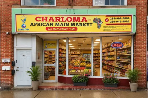
$2,750,000
2651 Eglinton Avenue E
Kennedy Park, Toronto
Store W Apt/Office · MLS® E13849514 · ROYAL LEPAGE PORRITT REAL ESTATE
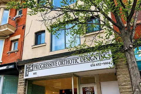
$2,749,900
Reduced $200,100
5 ba
802 Bloor Street W
Dovercourt-Wallace Emerson-Junction, Toronto
Store W Apt/Office · MLS® W13588896 · REMAX YOUR COMMUNITY REALTY
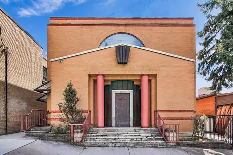
$2,769,000
3 ba
2547A Eglinton Avenue W
Keelesdale-Eglinton West, Toronto
Commercial Retail · MLS® W13419636 · ROYAL LEPAGE REAL ESTATE SERVICES LTD.
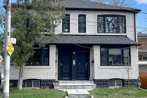
$2,798,000
301 Cleveland Street
Mount Pleasant East, Toronto
Investment · MLS® C13637110 · CENTURY 21 KING`S QUAY REAL ESTATE INC.
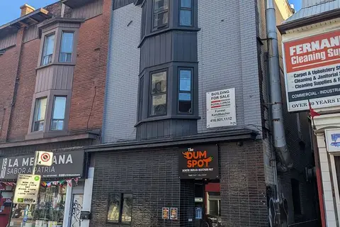
$2,798,000
995 Bloor Street W
Dufferin Grove, Toronto
Commercial Retail · MLS® C13780350 · ROYAL LEPAGE REAL ESTATE SERVICES LTD.
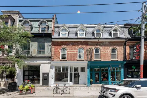
$2,799,000
Reduced $81,000
1164 QUEEN Street W
Little Portugal, Toronto
Store W Apt/Office · MLS® C13661334 · RE/MAX ULTIMATE REALTY INC.