86 Guided Court 4
West Humber-Clairville, Toronto, M9V 4K6
$1,150,000
Listed 5 days ago · MLS® W14081148
About this home
Own your space in one of Etobicoke's most connected industrial pockets, minutes from Highways 27, 427 and 407. Pull in through the oversized drive-in door to a main warehouse ready for your operation. Up front, greet clients in a dedicated boardroom, run the business from a private office, and rely on the wheelchair-accessible washroom. Head upstairs to the mezzanine: two private offices, storage, a second washroom, and a wide-open office area that's a blank canvas. Picture a team bullpen, a showroom, a creative studio, or whatever your business needs. Bring your vision and make it yours.
Details
- Type
- Industrial
- Garage
- Outside/Surface
- Property tax
- $7,347 (2026)
- Neighbourhood
- West Humber-Clairville
- Municipality
- Toronto W10
Heating, cooling and services
- Heating
- Gas Forced Air Open
- Air conditioning
- Yes
- Utilities
- Available
Building and exterior
- Building area
- 2,237 Square Feet
More
- Possession
- Immediate
- Cross street
- Hwy 27 & Steeles Avenue W
Location
Location is approximate. See nearby homes on the map
Recent sales nearby
See what similar homes within 1 km sold for in the last year. Create a free account or sign in to see them.
The neighbourhood
Getting around Car-dependent
- 🚇 Albion LRT2.2 km
- 🚇 Stevenson LRT2.2 km
- 🚆 Etobicoke North GO6.5 km
Within a 10-minute walk: 1 grocery store, 1 cafés and restaurants, 0 parks, 1 pharmacy. Nearest grocery: Danforth Food Market (900 m).
Schools nearby
Elementary
- Msgr John Corrigan Catholic School Catholic
EQAO: Gr 6 reading 88%, math 31%7 min walk - St. Angela Catholic School Catholic
EQAO: Gr 6 reading 85%, math 31%17 min walk - John D Parker Junior School
EQAO: Gr 3 reading 81%, math 59%18 min walk - Claireville Junior School
EQAO: Gr 3 reading 59%, math 45%18 min walk
Secondary
- Smithfield Middle School19 min walk
- Holy Cross Catholic Academy Catholic · Private
EQAO: Gr 9 math 70%, literacy test 79%1.8 km - North Albion Collegiate Institute
EQAO: Gr 9 math 29%, literacy test 70%2.1 km
EQAO: share of students meeting the provincial standard (2024–25). Ontario average: Gr 6 reading 86%, math 51%; Gr 9 math 55%; literacy test 83%.
Closest schools, not school zones. Check which school serves this address with the school board before relying on it.
Who lives here postal area M9V
- Owners / renters
- 54% / 46%
- Median household income
- $82,000
- Average age
- 39
- Children under 15
- 16%
- Homes
- 28% detached, 40% high-rise
- Commute by transit
- 23%
- Population
- 53,878
Languages spoken most at home besides English: Punjabi (Panjabi) 6.7%, Gujarati 5%, Assyrian Neo-Aramaic 3.6%, Spanish 2.2%.
Flood and conservation Regulated area
This address is inside a conservation-authority regulated area (Toronto and Region Conservation Authority): near a valley, stream, shoreline or wetland, where flooding or erosion can occur. New building, additions, pools or grading usually need a permit from the authority.
Screening maps only. Ask the conservation authority for a property inquiry before relying on this.
Safety
Major crime per resident in West Humber-Clairville (2025): 127% above the Toronto average, down 14% from the year before.
- Assault22% above average
- Break and enter83% above average
- Auto theft486% above average
- Robbery94% above average
- Theft from vehicles158% above average
- Shootings228% above average
Crime Severity Index for Toronto police: 60 vs 57 for Ontario (2025).
Police-reported figures for the whole neighbourhood, not this street. Rates use the area’s resident population.
Development nearby
-
86 GUIDED CRT · 0 mPlan of Condominium · Closed · applied 2023Proposal for a minor modification to the Registered Plan of Condominium (TSCP2755) to change the limit between Unit 1 and Unit 2.Application details
Rezoning, site plan, subdivision and condominium applications filed with the city.
Distances are approximate. Places © OpenStreetMap contributors. Neighbourhood figures: Statistics Canada, 2021 Census. School results: EQAO via Ontario Data Catalogue (Open Government Licence – Ontario). Flood and regulation mapping: Toronto and Region Conservation Authority open data. Neighbourhood crime: Toronto Police Service Public Safety Data Portal (Open Government Licence – Toronto Police Service). Crime Severity Index: Statistics Canada. Planning applications: City of Toronto open data.
Living here
Commute
To Union Station (downtown Toronto): 22 km. Transit times · Driving times
Noise 1 source nearby
- 🚆 Rail line (Halton Subdivision)50 m
Distances from the map, not noise measurements. Visit at rush hour to judge for yourself.
What can be built E
Employment Industrial (with a site-specific exception).
From Toronto’s Zoning By-law 569-2013 map. Lot size, setbacks and trees decide what actually fits; check with a planner before you buy.
Building permits
- Interior Alterations · 2024 · CancelledProposal for interior alteration - creation of mezzanine/second floor level within existing unit.
- Interior Alterations · 2021 · CancelledProposal for interior alterations including washrooms, offices and a new mezzanine addition in an existing warehouse - UNITS 13-16. See…
Permits filed with the City of Toronto. A permit doesn’t mean the work passed final inspection.
Trees
5 City street trees within 100 m. That’s fewer than the Toronto average of 42.
Trees on City boulevards only, not private yards or parks.
Internet High-speed
50/10 Mbps or faster available here by cable, fibre or DSL (the federal high-speed target).
From the federal broadband map. Check exact speeds and providers for the address.
Zoning, heritage, building permits and street trees: City of Toronto open data (Open Government Licence – Toronto). Roads, rail, airports and planned stations © OpenStreetMap contributors. Internet: Innovation, Science and Economic Development Canada, National Broadband Data.
Listed by RE/MAX REALTRON REALTY INC..
Listing information provided by PropTx Innovations Inc. and TRREB; deemed reliable but not guaranteed accurate by PropTx.
Similar homes nearby
See more in Toronto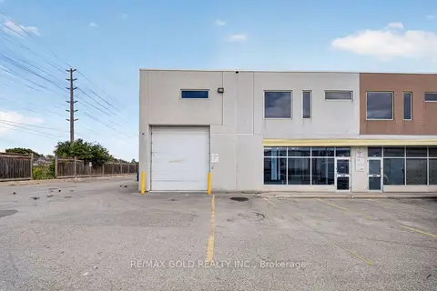
$1,199,000
101 Westmore Drive 113
West Humber-Clairville, Toronto
Industrial · MLS® W13721724 · RE/MAX GOLD REALTY INC.
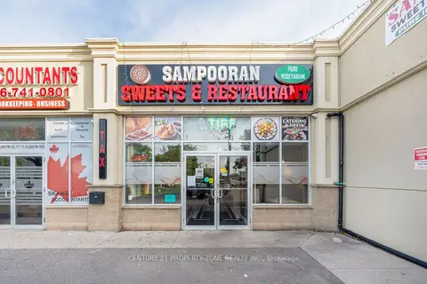
$1,299,000
1770 Albion Road 43
West Humber-Clairville, Toronto
Commercial Retail · MLS® W13737740 · CENTURY 21 PROPERTY ZONE REALTY INC.
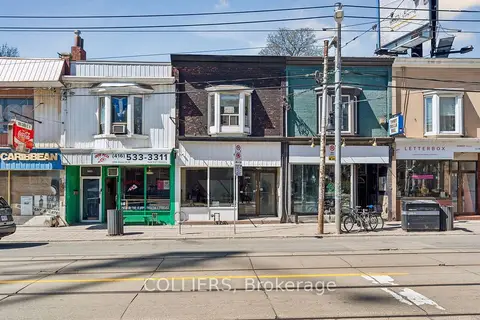
$1,150,000
1594 Queen Street W
Roncesvalles, Toronto
Commercial Retail · MLS® W13051932 · COLLIERS
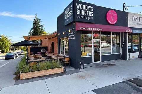 New
$1,150,000
2 ba
3795 Lake Shore Boulevard W
Long Branch, Toronto
Commercial Retail · MLS® W14097488 · RE/MAX ULTIMATE REALTY INC.
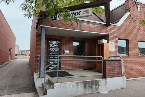
$1,149,000
175 Toryork Drive 27
Humber Summit, Toronto
Industrial · MLS® W13722648 · TRI-CITY PROFESSIONAL REALTY INC.
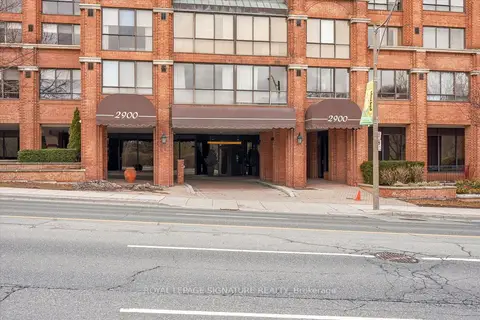
$1,148,000
3 ba
2900 Yonge Street 101
Lawrence Park South, Toronto
Office · MLS® C13728096 · ROYAL LEPAGE SIGNATURE REALTY
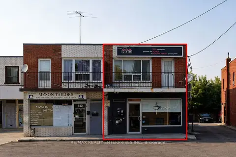
$1,159,000
Reduced $90,000
640 Wilson Avenue S
Downsview-Roding-CFB, Toronto
Commercial Retail · MLS® W13603956 · RE/MAX REALTY ENTERPRISES INC.
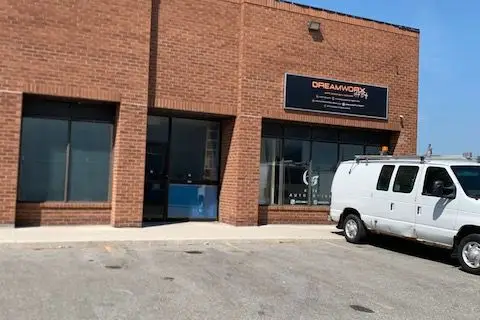
$1,168,000
Reduced $30,000
87 Thornmount Drive 15
Rouge E11, Toronto
Industrial · MLS® E13631196 · AIMHOME REALTY INC.