827 Cosburn Avenue
Woodbine-Lumsden, Toronto, M4C 2V9
$1,998,000
Listed today · MLS® E14100998
About this home
Exceptional East York Six-Plex Investment Opportunity! Detached Property Featuring 6 Self-Contained Suites, Including 2 Spacious 2-Bedroom Units And 4 Well-Proportioned 1-Bedroom Units, Situated On A 42' X 100' Lot. Spacious Driveway With 5 Surface Parking Spaces At The Rear. All Tenancies Are Currently Month-To-Month, Offering An Established Rental Setup With Potential For Long-Term Investment. Conveniently Located Near TTC Bus Service Connecting To Broadview And Main Street Subway Stations And Danforth GO Station. Just Minutes To Woodbine Subway Station, The Danforth's Shops And Restaurants, Dieppe Park, Taylor Creek Trails, Schools, And Michael Garron Hospital. A Great Opportunity To Own A Multi-Unit Residential Property In Toronto's East End.
Details
- Type
- Investment
- Lot
- 42.05 × 100.17 ft
- Garage
- None
- Property tax
- $7,681 (2026)
- Neighbourhood
- Woodbine-Lumsden
- Municipality
- Toronto E03
Heating, cooling and services
- Heating
- Water Radiators
- Water and sewer
- Storm
- Utilities
- Yes
Building and exterior
- Building area
- 2,982 Square Feet
More
- Possession
- TBA
- Cross street
- Woodbine And O'Connor Dr
- Business type
- Apts - 6 To 12 Units
History of this address
1 earlier listing at this address, with sold and leased prices. Create a free account or sign in to see them.
Location
Location is approximate. See nearby homes on the map
Recent sales nearby
See what similar homes within 1 km sold for in the last year. Create a free account or sign in to see them.
The neighbourhood
Getting around Walkable
- 🚇 Woodbine Subway18 min walk
- 🚇 Coxwell Subway1.3 km
- 🚆 Danforth GO1.8 km
Within a 10-minute walk: 2 grocery stores, 8 cafés and restaurants, 9 parks, 2 pharmacies. Nearest grocery: Tienda Movil Latin Supermarket (550 m). Nearest park: Stan Wadlow Park (500 m).
Schools nearby
Elementary
- Canadian Martyrs Catholic School Catholic
EQAO: Gr 6 reading 88%, math 54%5 min walk - Parkside Elementary School
EQAO: Gr 3 reading 86%, math 62%7 min walk - R H McGregor Elementary School
EQAO: Gr 3 reading 72%, math 74%15 min walk - St. Brigid Catholic School Catholic
EQAO: Gr 6 reading 95%, math 55%15 min walk
Secondary
- East York Alternative Secondary School7 min walk
- East York Collegiate Institute
EQAO: Gr 9 math 46%, literacy test 83%9 min walk - D A Morrison Middle School10 min walk
EQAO: share of students meeting the provincial standard (2024–25). Ontario average: Gr 6 reading 86%, math 51%; Gr 9 math 55%; literacy test 83%.
Closest schools, not school zones. Check which school serves this address with the school board before relying on it.
Who lives here postal area M4C
- Owners / renters
- 53% / 47%
- Median household income
- $83,000
- Average age
- 40
- Children under 15
- 17%
- Homes
- 27% detached, 38% high-rise
- Commute by transit
- 37%
- Population
- 46,440
Languages spoken most at home besides English: Bengali 4.3%, Yue (Cantonese) 2.1%, Urdu 1.4%, Tagalog (Pilipino, Filipino) 0.9%.
Flood and conservation No mapped hazard
Not inside a mapped flood plain or regulated area.
Screening maps only. Ask the conservation authority for a property inquiry before relying on this.
Safety
Major crime per resident in Danforth East York (2025): 44% below the Toronto average, down 11% from the year before.
- Assault43% below average
- Break and enter54% below average
- Auto theftabout average
- Robbery86% below average
- Theft from vehiclesabout average
- Shootings33% above average
Crime Severity Index for Toronto police: 60 vs 57 for Ontario (2025).
Police-reported figures for the whole neighbourhood, not this street. Rates use the area’s resident population.
Development nearby
No planning applications within 500 m in the last five years.
Rezoning, site plan, subdivision and condominium applications filed with the city.
Distances are approximate. Places © OpenStreetMap contributors. Neighbourhood figures: Statistics Canada, 2021 Census. School results: EQAO via Ontario Data Catalogue (Open Government Licence – Ontario). Neighbourhood crime: Toronto Police Service Public Safety Data Portal (Open Government Licence – Toronto Police Service). Crime Severity Index: Statistics Canada.
Living here
Commute
To Union Station (downtown Toronto): 7 km. Transit times · Driving times
Noise Nothing major nearby
No highway within 500 m, rail line within 300 m, or airport flight path nearby.
Distances from the map, not noise measurements. Visit at rush hour to judge for yourself.
What can be built RS
Residential Semi-Detached (with a site-specific exception).
- ✅ Up to 6 homes on the lot (multiplex): a sixplex ward
- ✅ Garden suite in the backyard
- ✅ Laneway suite, if the lot backs onto a lane
From Toronto’s Zoning By-law 569-2013 map. Lot size, setbacks and trees decide what actually fits; check with a planner before you buy.
Building permits
No building permits at this address since 2014.
1 permit on this block of the street in the last 2 years.
Permits filed with the City of Toronto. A permit doesn’t mean the work passed final inspection.
Trees
33 City street trees within 100 m. That’s about the Toronto average of 42.
Trees on City boulevards only, not private yards or parks.
Internet High-speed
50/10 Mbps or faster available here by cable, fibre or DSL (the federal high-speed target).
From the federal broadband map. Check exact speeds and providers for the address.
Zoning, heritage, building permits and street trees: City of Toronto open data (Open Government Licence – Toronto). Roads, rail, airports and planned stations © OpenStreetMap contributors. Internet: Innovation, Science and Economic Development Canada, National Broadband Data.
Listed by HOMELIFE LANDMARK REALTY INC..
Listing information provided by PropTx Innovations Inc. and TRREB; deemed reliable but not guaranteed accurate by PropTx.
Similar homes nearby
See more in Toronto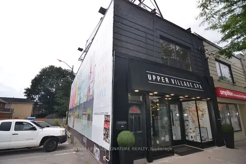
$1,998,000
Reduced $290,000
997 Eglinton Avenue W
Humewood-Cedarvale, Toronto
Commercial Retail · MLS® C13708730 · ROYAL LEPAGE SIGNATURE REALTY
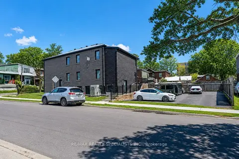
$1,998,000
8 ba
1659 Gerrard Street E
Woodbine Corridor, Toronto
Investment · MLS® E13689614 · RE/MAX REALTY SPECIALISTS INC.
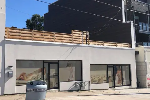
$1,997,000
2 ba
1517-1519 O Connor Drive
O'Connor-Parkview, Toronto
Commercial Retail · MLS® E13834122 · INTERNATIONAL REALTY FIRM, INC.
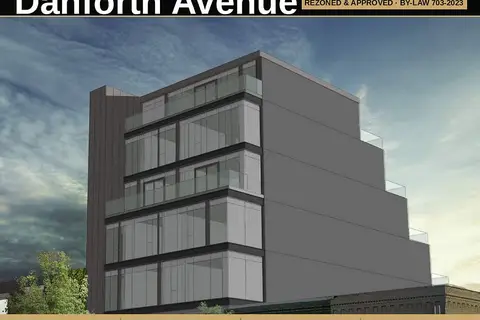
$1,999,800
1793 Danforth Avenue
Woodbine Corridor, Toronto
Land · MLS® E13474532 · HARVEY KALLES REAL ESTATE LTD.
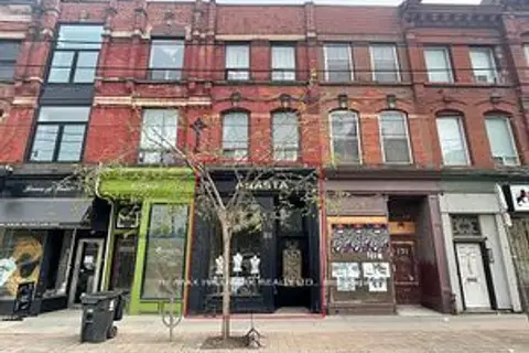
$1,999,900
173 Queen Street E
Moss Park, Toronto
Store W Apt/Office · MLS® C13640418 · RE/MAX HALLMARK REALTY LTD.
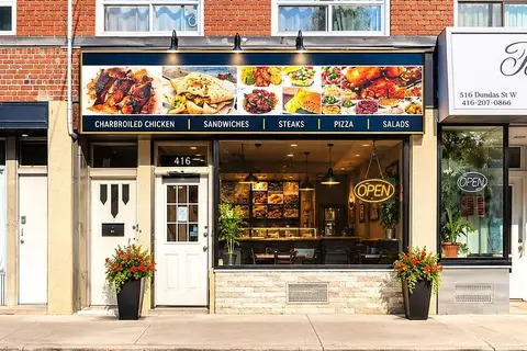
$1,999,900
5118 Dundas Street W
Islington-City Centre West, Toronto
Store W Apt/Office · MLS® W13793354 · SUTTON GROUP-ADMIRAL REALTY INC.
$2,000,000
2386 Lake Shore Boulevard W
Mimico, Toronto
Commercial Retail · MLS® W13425278 · RE/MAX REALTRON REALTY INC.
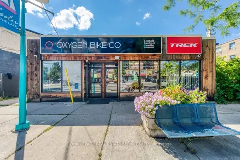
$2,000,000
Reduced $99,999
2 ba
3267 Lake Shore Boulevard W
Long Branch, Toronto
Commercial Retail · MLS® W13758888 · ROYAL LEPAGE REAL ESTATE SERVICES LTD.