698 Chiddington Avenue
South R, London South, N6C 2W8
$589,900
- 4 bedrooms
- 3 bathrooms
- 4 parking
- 1500-2000 sq ft
Listed 7 days ago · MLS® X14027064
About this home
Welcome Home! This well maintained home is situated in the desirable Lockwood Park neighborhood of South London. The home features a 4-level backsplit, a 1.5-car garage, double driveway, and a charming, unique front-side patio. Inside, you'll find three spacious bedrooms, including a master suite with a 3-piece ensuite. The main floor boasts a well-appointed kitchen with a generous eating area, leading to a formal living and dining room. The third level offers an expansive family room with a fireplace , as well as a bedroom/office and a 2-piece bath with a walkout to a newly installed cement patio in the backyard. The unfinished lower level includes a laundry area (furnace updated in 2019) and additional space with potential for further development. Updated windows throughout enhance the home's efficiency and curb appeal. Centrally located and in a desirable location. Close proximity to schools, shopping, public transit, parks, hospital and much more!
Details
- Type
- Detached
- Style
- Backsplit 4
- Size
- 1500-2000 sq ft
- Lot
- 65 × 100 ft
- Basement
- Full, Unfinished
- Garage
- Attached
- Kitchens
- 1
- Property tax
- $4,409 (2025)
- Neighbourhood
- South R
- Municipality
- London South
- Price per sq ft
- $337 (18% below detached houses in London South, $413)
Interior
- Bedrooms
- 4 above ground
- Bathrooms
- 2 × 3-piece (upper), 1 × 2-piece (third)
- Rooms
- 12 above ground + 2 below
- Family room or den
- No
- Fireplace
- Yes
- Features
- Water Heater
Heating, cooling and services
- Heating
- Forced Air, Gas
- Air conditioning
- Central Air
- Water and sewer
- Sewer
Building and exterior
- Style
- Backsplit 4
- Exterior
- Brick
- Roof
- Asphalt Shingle
- Foundation
- Poured Concrete
- Faces
- North
Parking
- Garage spaces
- 2
- Total parking
- 4
- Driveway and parking
- Available, Private Double, Reserved/Assigned
Lot
- Size
- 65 × 100 ft
- Acreage
- < .50
More
- Possession
- Immediate
- Nearby
- School Bus Route, School, Hospital, Public Transit, Park, Place Of Worship
- Cross street
- WELLINGTON & COMMISSIONERS
History of this address
3 earlier listings at this address, with sold and leased prices. Create a free account or sign in to see them.
Location
Location is approximate. See nearby homes on the map
Recent sales nearby
See what similar homes within 1 km sold for in the last year. Create a free account or sign in to see them.
The neighbourhood
Getting around Walkable
No subway, LRT or GO station within a short trip.
Within a 10-minute walk: 2 grocery stores, 15 cafés and restaurants, 1 park, 1 pharmacy. Nearest grocery: FreshCo (500 m). Nearest park: Mitches Park (450 m).
Schools nearby
Elementary
- Sir George Etienne Cartier Public School
EQAO: Gr 6 reading 96%, math 32%2 min walk - Mountsfield Public School
EQAO: Gr 6 reading 93%, math 61%15 min walk - Cleardale Public School
EQAO: Gr 6 reading 91%, math 36%15 min walk - Holy Rosary Separate School Catholic
EQAO: Gr 6 reading 80%, math 24%1.5 km
Secondary
- London South Collegiate Institute
EQAO: Gr 9 math 49%, literacy test 73%1.8 km
EQAO: share of students meeting the provincial standard (2024–25). Ontario average: Gr 6 reading 86%, math 51%; Gr 9 math 55%; literacy test 83%.
Closest schools, not school zones. Check which school serves this address with the school board before relying on it.
Who lives here postal area N6C
- Owners / renters
- 57% / 43%
- Median household income
- $75,500
- Average age
- 42
- Children under 15
- 15%
- Homes
- 48% detached, 18% high-rise
- Commute by transit
- 5%
- Population
- 30,629
Languages spoken most at home besides English: Arabic 1.8%, Spanish 1.4%, Polish 0.4%, Greek 0.2%.
Safety
Crime Severity Index for London police: 73 vs 57 for Ontario (2025).
Police-reported figures for the whole police service area, not this street. Rates use the area’s resident population.
Distances are approximate. Places © OpenStreetMap contributors. Neighbourhood figures: Statistics Canada, 2021 Census. School results: EQAO via Ontario Data Catalogue (Open Government Licence – Ontario). Crime Severity Index: Statistics Canada.
Living here
Commute
To downtown London: 4 km. Transit times · Driving times
Noise Nothing major nearby
No highway within 500 m, rail line within 300 m, or airport flight path nearby.
Distances from the map, not noise measurements. Visit at rush hour to judge for yourself.
Internet High-speed
50/10 Mbps or faster available here by cable, fibre or DSL (the federal high-speed target).
From the federal broadband map. Check exact speeds and providers for the address.
Roads, rail, airports and planned stations © OpenStreetMap contributors. Internet: Innovation, Science and Economic Development Canada, National Broadband Data.
Listed by CENTURY 21 FIRST CANADIAN CORP.
Listing information provided by PropTx Innovations Inc. and TRREB; deemed reliable but not guaranteed accurate by PropTx.
Similar homes nearby
See more in London South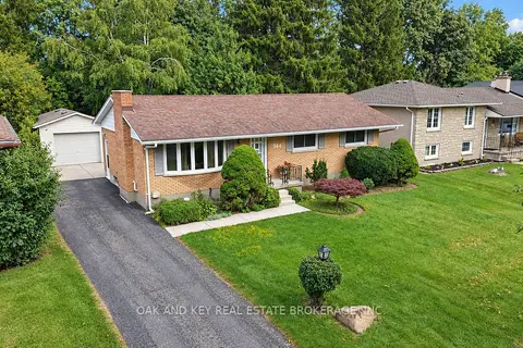
$540,000
3 bd2 ba7 pk1100-1500 ft²
564 Chiddington Avenue
South R, London South
Detached · MLS® X13860788 · OAK AND KEY REAL ESTATE BROKERAGE, INC.
 New
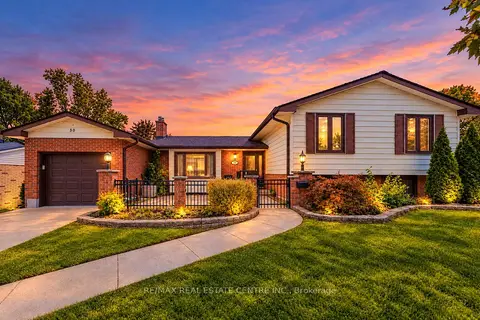
$669,900
3+3 bd2 ba3 pk1100-1500 ft²
30 COWAN Avenue
South R, London South
Detached · MLS® X14093396 · RE/MAX REAL ESTATE CENTRE INC.
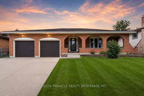
$674,900
Reduced $24,100
3 bd2 ba4 pk1500-2000 ft²
272 Wilkins Street
South R, London South
Detached · MLS® X13537354 · NU-VISTA PINNACLE REALTY BROKERAGE INC
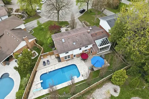
$675,000
4+1 bd3 ba6 pk2000-2500 ft²
35 Cowan Place
South R, London South
Detached · MLS® X13722872 · RE/MAX ADVANTAGE REALTY LTD.
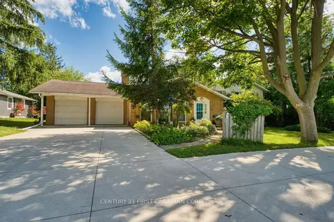
$699,000
2+1 bd4 ba10 pk1500-2000 ft²
501 COMMISSIONERS Road E
South R, London South
Detached · MLS® X13685708 · CENTURY 21 FIRST CANADIAN CORP
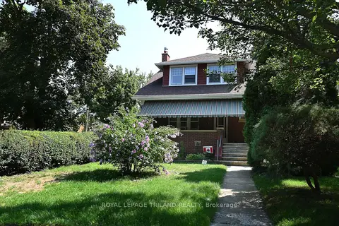
$589,900
4+1 bd3 ba2 pk1100-1500 ft²
382 Wortley Road
South G, London South
Detached · MLS® X13686410 · ROYAL LEPAGE TRILAND REALTY
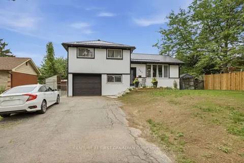
$589,900
4 bd2 ba5 pk700-1100 ft²
285 Panorama Crescent
South J, London South
Detached · MLS® X13769108 · CENTURY 21 FIRST CANADIAN CORP
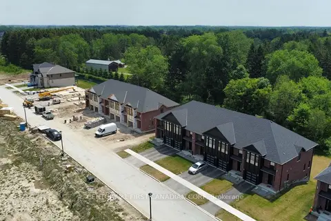
$594,800
3 bd3 ba2 pk1500-2000 ft²
6905 HEATHWOODS Avenue
South V, London South
Att/Row/Townhouse · MLS® X13530390 · CENTURY 21 FIRST CANADIAN CORP