69 David Street
Downtown Brampton, Brampton, L6X 1J6
$2,650,000
Reduced $461,111 from $3,111,111
- 0 bedrooms
Listed 1162 days ago · MLS® W6740944
About this home
+/-2,405 sf Commercial/ Industrial Bldg., including +/-515 sf Mezzanine, on +/-0.20 acre lot. Currently zoned M1-3156 Industrial and designated as Residential by Official Plan. Located in Downtown Brampton Secondary Plan. Close to Main St and Queen. Close to Go train station, high-rise development occurring around the train stations. *Legal Description Continued: PT LT 64 PL D-12 BRAMPTON; PT LT 7 CON 1 WHS CHINGUACOUSY AS IN RO1058963, EXCEPT PT 1, 43R8799 ; BRAMPTON **EXTRAS** Please Review Available Marketing Materials Before Booking A Showing. Please Do Not Walk The Property Without An Appointment
Details
- Type
- Industrial
- Lot
- 54.56 × ? ft
- Garage
- Outside/Surface
- Kitchens
- 0
- Property tax
- $8,278 (2024)
- Neighbourhood
- Downtown Brampton
- Municipality
- Brampton
Heating, cooling and services
- Water and sewer
- Sanitary+Storm
- Utilities
- Available
Building and exterior
- Building area
- 2,405 Square Feet
More
- Possession
- TBA
- Cross street
- David St & Mill St N
History of this address
2 earlier listings at this address, with sold and leased prices. Create a free account or sign in to see them.
Location
Location is approximate. See nearby homes on the map
Recent sales nearby
See what similar homes within 1 km sold for in the last year. Create a free account or sign in to see them.
The neighbourhood
Getting around Very walkable
- 🚆 Mount Pleasant GO4.5 km
Within a 10-minute walk: 2 grocery stores, 30 cafés and restaurants, 15 parks, 8 pharmacies. Nearest grocery: No Frills (700 m). Nearest park: North Mill Parkette (350 m).
Schools nearby
Elementary
- Glendale Public School
EQAO: Gr 3 reading 69%, math 42%10 min walk - Our Lady of Fatima School Catholic
EQAO: Gr 6 reading 96%, math 39%12 min walk - Al-Ameen Elementary School14 min walk
- McHugh Public School
EQAO: Gr 3 reading 57%, math 32%18 min walk
Secondary
- Beatty Fleming Public School18 min walk
- Cardinal Leger Secondary School Catholic
EQAO: Gr 9 math 47%, literacy test 80%1.4 km - Sir John A. Macdonald Senior Public School1.5 km
EQAO: share of students meeting the provincial standard (2024–25). Ontario average: Gr 6 reading 86%, math 51%; Gr 9 math 55%; literacy test 83%.
Closest schools, not school zones. Check which school serves this address with the school board before relying on it.
Who lives here postal area L6X
- Owners / renters
- 79% / 21%
- Median household income
- $116,000
- Average age
- 37
- Children under 15
- 19%
- Homes
- 55% detached, 7% high-rise
- Commute by transit
- 10%
- Population
- 76,113
Languages spoken most at home besides English: Punjabi (Panjabi) 14.9%, Urdu 3.1%, Hindi 2.4%, Gujarati 2.2%.
Flood and conservation No mapped hazard
Not inside a mapped flood plain or regulated area.
Screening maps only. Ask the conservation authority for a property inquiry before relying on this.
Safety
Crime Severity Index for Peel Region (Mississauga/Brampton) police: 59 vs 57 for Ontario (2025).
Police-reported figures for the whole police service area, not this street. Rates use the area’s resident population.
Development nearby 7 active
-
5 DAVID ST · 400 mSite Plan Approval · Deemed Complete · applied 2026Limited Site Plan
-
35 RAILROAD ST · 250 mOPA ZBA Subdivision · Deemed Complete · applied 2026Draft Plan of Subdivision
-
32 PARK ST | 34 PARK ST | 41 MILL ST N | 43 MILL ST N | 45 MILL ST N · 350 mSite Plan Approval · In Review · applied 2024Limited Site Plan
-
35 RAILROAD ST · 300 mOPA ZBA Subdivision · In Review-Public Mtg Complete · applied 2024Zoning By Law Amendment
-
71 ROSEDALE AVE W · 150 mSite Plan Approval · In Review · applied 2023Full Site Plan
-
41 GEORGE ST S · 450 mOPA ZBA Subdivision · Submitted · applied 2022Minister's Zoning Order (MZO) | Zoning By Law Amendment
5 more within 500 m.
Rezoning, site plan, subdivision and condominium applications filed with the city.
Distances are approximate. Places © OpenStreetMap contributors. Neighbourhood figures: Statistics Canada, 2021 Census. School results: EQAO via Ontario Data Catalogue (Open Government Licence – Ontario). Crime Severity Index: Statistics Canada. Planning applications: City of Brampton open data.
Living here
Commute
To Union Station (downtown Toronto): 32 km. Transit times · Driving times
Noise 1 source nearby
- 🚆 Rail line (Halton Subdivision)100 m
Distances from the map, not noise measurements. Visit at rush hour to judge for yourself.
Internet High-speed
50/10 Mbps or faster available here by cable, fibre or DSL (the federal high-speed target).
From the federal broadband map. Check exact speeds and providers for the address.
Roads, rail, airports and planned stations © OpenStreetMap contributors. Internet: Innovation, Science and Economic Development Canada, National Broadband Data.
Listed by D. W. GOULD REALTY ADVISORS INC..
Listing information provided by PropTx Innovations Inc. and TRREB; deemed reliable but not guaranteed accurate by PropTx.
Similar homes nearby
See more in Brampton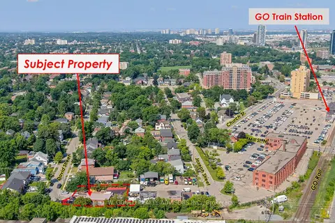
$2,650,000
Reduced $461,111
0 bd
69 David Street
Downtown Brampton, Brampton
Land · MLS® W6740844 · D. W. GOULD REALTY ADVISORS INC.
$2,555,888
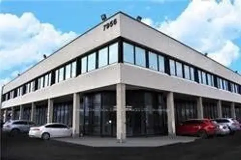
7956 Torbram Road 29
Steeles Industrial, Brampton
Office · MLS® W13864520 · ROYAL LEPAGE REAL ESTATE SERVICES LTD.
$2,551,000
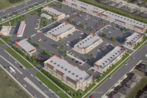
11655 MCVEAN Drive 8
Toronto Gore Rural Estate, Brampton
Commercial Retail · MLS® W12804630 · RE/MAX GOLD REALTY INC.
$2,498,999
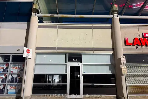
2260 Bovaird Drive E 122
Sandringham-Wellington, Brampton
Commercial Retail · MLS® W13768770 · THE FORTUNE REALTY
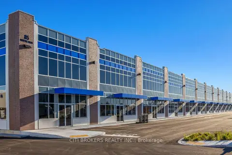
$2,801,120
85 Inspire Boulevard 33 (C5)
Sandringham-Wellington North, Brampton
Industrial · MLS® W13768814 · CITI BROKERS REALTY INC.
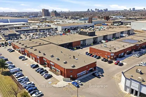
$2,815,650
Reduced $531,845
2074 Steeles Avenue E 1 & 2
Southgate, Brampton
Industrial · MLS® W12987504 · CITI BROKERS REALTY INC.
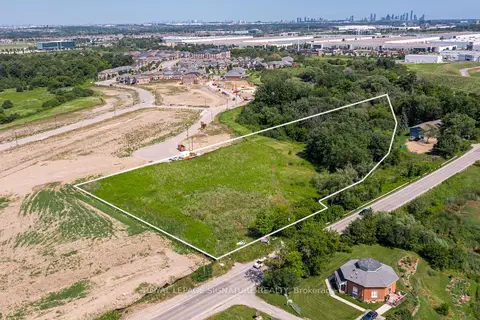
$2,850,000
8273 Heritage Road
Bram West, Brampton
Land · MLS® W13784778 · ROYAL LEPAGE SIGNATURE REALTY
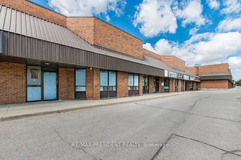
$2,900,000
3 ba
8500 Torbram Road 55 & 56
Southgate, Brampton
Office · MLS® W13511890 · RE/MAX PRESIDENT REALTY