586 Browns Line
Alderwood, Toronto, M8W 3V5
$1,089,000
Listed 64 days ago · MLS® W13682362
About this home
Prime Corner Lot Opportunity in the Heart of Alderwood. Situated at the prominent intersection of Browns Line and Mitcham Drive, this well-maintained bungalow offers a unique footprint in one of Toronto's high-growth neighborhoods. Having served as a staple of the community for over 25 years as a professional office, this property presents a versatile foundation for its next chapter as a custom residential renovation, a convenient live-work environment, or a potential redevelopment site. Substantial Interior Footprint: The property features approximately 2,100 square feet of total finished space across two functional levels. Main Floor (1,102 Sq Ft): Includes a bright, spacious front reception/living area, four generously sized rooms, a central utility/media room, and a washroom. Lower Level (1,000 Sq Ft): A fully renovated basement featuring a large boardroom/recreation room, an additional private room, a kitchenette, and a 3-piece bathroom. Flexible Utility: The lower level is further enhanced by an expansive, highly versatile area currently utilized for large-scale storage and administrative needs, offering immense potential for various home or hobby configurations. Site & Strategic Location: Exceptional Land Area: A significant 4,198 square foot corner lot providing excellent presence and accessibility. Parking & Access: Includes 4 dedicated surface parking spaces on-site. Regional Connectivity: Unparalleled access to the QEW, Highway 427, and the Gardiner Expressway. Minutes from CF Sherway Gardens, local schools, and a host of essential retail amenities. Property will be delivered vacant upon possession.
Details
- Type
- Store W Apt/Office
- Lot
- 56.48 × 125.17 ft
- Garage
- Other
- Property tax
- $4,193 (2025)
- Neighbourhood
- Alderwood
- Municipality
- Toronto W06
Heating, cooling and services
- Heating
- Gas Forced Air Open
- Air conditioning
- Yes
Building and exterior
- Building area
- 1,102 Square Feet
More
- Possession
- TBD
- Cross street
- Browns Line / Evans Ave
History of this address
4 earlier listings at this address, with sold and leased prices. Create a free account or sign in to see them.
Location
Location is approximate. See nearby homes on the map
Recent sales nearby
See what similar homes within 1 km sold for in the last year. Create a free account or sign in to see them.
The neighbourhood
Getting around Walkable
- 🚆 Long Branch GO1.4 km
Within a 10-minute walk: 2 grocery stores, 16 cafés and restaurants, 6 parks, 4 pharmacies. Nearest grocery: Tienda Movil Latin Supermarket (550 m). Nearest park: Alderwood Memorial Park (200 m).
Schools nearby
Elementary
- Sir Adam Beck Junior School
EQAO: Gr 3 reading 100%, math 67%6 min walk - St. Ambrose Catholic School Catholic8 min walk
- Lanor Junior Middle School
EQAO: Gr 6 reading 93%, math 51%9 min walk - École élémentaire Micheline-Saint-Cyr Catholic · French
EQAO: Gr 6 reading 81%, math 62%1.6 km
Secondary
- Lakeshore Collegiate Institute
EQAO: Gr 9 math 42%, literacy test 75%2.2 km
EQAO: share of students meeting the provincial standard (2024–25). Ontario average: Gr 6 reading 86%, math 51%; Gr 9 math 55%; literacy test 83%.
Closest schools, not school zones. Check which school serves this address with the school board before relying on it.
Who lives here postal area M8W
- Owners / renters
- 65% / 35%
- Median household income
- $95,000
- Average age
- 42
- Children under 15
- 15%
- Homes
- 44% detached, 17% high-rise
- Commute by transit
- 17%
- Population
- 22,381
Languages spoken most at home besides English: Polish 2.6%, Spanish 1.3%, Ukrainian 1.1%, Portuguese 1.1%.
Flood and conservation No mapped hazard
Not inside a mapped flood plain or regulated area.
Screening maps only. Ask the conservation authority for a property inquiry before relying on this.
Safety
Major crime per resident in Alderwood (2025): about the Toronto average, up 10% from the year before.
- Assault34% below average
- Break and enterabout average
- Auto theftabout average
- Robberyabout average
- Theft from vehicles37% below average
- Shootingsabout average
Crime Severity Index for Toronto police: 60 vs 57 for Ontario (2025).
Police-reported figures for the whole neighbourhood, not this street. Rates use the area’s resident population.
Development nearby
No planning applications within 500 m in the last five years.
Rezoning, site plan, subdivision and condominium applications filed with the city.
Distances are approximate. Places © OpenStreetMap contributors. Neighbourhood figures: Statistics Canada, 2021 Census. School results: EQAO via Ontario Data Catalogue (Open Government Licence – Ontario). Neighbourhood crime: Toronto Police Service Public Safety Data Portal (Open Government Licence – Toronto Police Service). Crime Severity Index: Statistics Canada.
Living here
Commute
To Union Station (downtown Toronto): 14 km. Transit times · Driving times
Noise 1 source nearby
- 🛣️ Highway 427500 m
Distances from the map, not noise measurements. Visit at rush hour to judge for yourself.
What can be built RD
Residential Detached.
- ✅ Up to 4 homes on the lot (multiplex)
- ✅ Garden suite in the backyard
- ✅ Laneway suite, if the lot backs onto a lane
From Toronto’s Zoning By-law 569-2013 map. Lot size, setbacks and trees decide what actually fits; check with a planner before you buy.
Building permits
No building permits at this address since 2014.
1 permit on this block of the street in the last 2 years.
Permits filed with the City of Toronto. A permit doesn’t mean the work passed final inspection.
Trees
42 City street trees within 100 m. That’s about the Toronto average of 42.
Trees on City boulevards only, not private yards or parks.
Internet High-speed
50/10 Mbps or faster available here by cable, fibre or DSL (the federal high-speed target).
From the federal broadband map. Check exact speeds and providers for the address.
Zoning, heritage, building permits and street trees: City of Toronto open data (Open Government Licence – Toronto). Roads, rail, airports and planned stations © OpenStreetMap contributors. Internet: Innovation, Science and Economic Development Canada, National Broadband Data.
Listed by RE/MAX PROFESSIONALS INC..
Listing information provided by PropTx Innovations Inc. and TRREB; deemed reliable but not guaranteed accurate by PropTx.
Similar homes nearby
See more in Toronto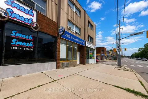
$1,089,000
Reduced $306,000
2889 St Clair Avenue E C
O'Connor-Parkview, Toronto
Store W Apt/Office · MLS® E13113026 · RIGHT AT HOME REALTY
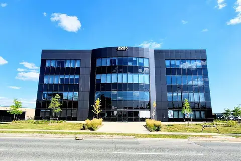
$1,095,000
Reduced $99,000
2225 Markham Road 102
Rouge E11, Toronto
Office · MLS® E13435586 · RE/MAX HALLMARK FIRST GROUP REALTY LTD.
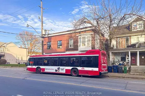
$1,095,000
2 ba
819 Pape Avenue
Danforth Village-East York, Toronto
Commercial Retail · MLS® E13835700 · ROYAL LEPAGE VISION REALTY
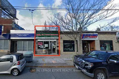
$1,080,000
804 Eglinton Avenue E
Leaside, Toronto
Commercial Retail · MLS® C13609072 · ROYAL LEPAGE ESTATE REALTY
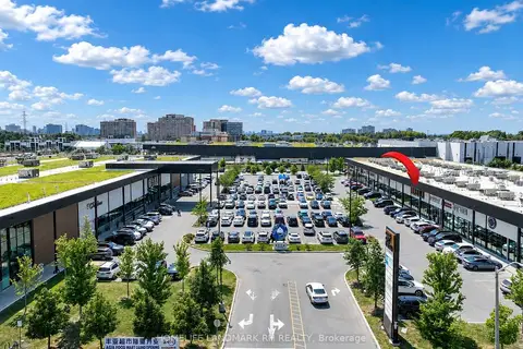
$1,098,000
390 Silver Star Boulevard 133
Milliken, Toronto
Commercial Retail · MLS® E13567224 · HOMELIFE LANDMARK RH REALTY
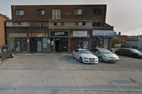
$1,099,900
1853 Davenport Road
Weston-Pellam Park, Toronto
Commercial Retail · MLS® W13037706 · ROYAL LEPAGE SIGNATURE REALTY
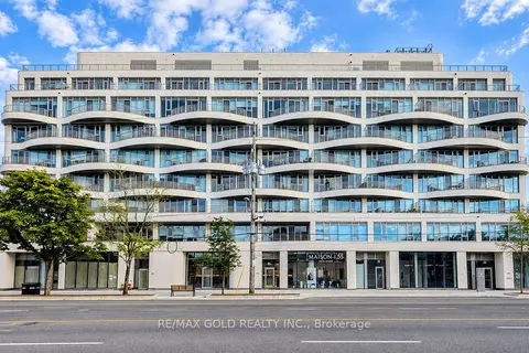
$1,099,900
691 The Queensway
Stonegate-Queensway, Toronto
Commercial Retail · MLS® W13804388 · RE/MAX GOLD REALTY INC.
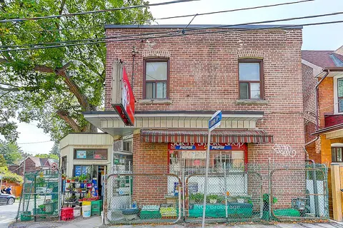
$1,099,901
1281 Davenport Road
Dovercourt-Wallace Emerson-Junction, Toronto
Store W Apt/Office · MLS® W13702364 · HOMELIFE LANDMARK REALTY INC.