819 Pape Avenue
Danforth Village-East York, Toronto, M4K 3V1
$1,095,000
- 2 bathrooms
Listed 22 days ago · MLS® E13835700
About this home
Situated in the heart of Pape Village, this exceptional mixed-use investment offers outstanding visibility, consistent pedestrian traffic, and TTC service at the doorstep. The approximately 1,130 sq. ft. main floor is currently owner-occupied by a long-established professional accounting practice, providing confidence in the property's established commercial use. The fully renovated second floor features a bright 3-bedroom suite with a separate entrance and is currently vacant, offering immediate opportunities for an owner-user, professional office, or market-rate tenant, subject to buyer due diligence. Professional office use has operated continuously at the property since the 1970s. Whether you're an investor seeking stable income with upside or an end-user looking to occupy part of the building while generating rental revenue, this property offers exceptional flexibility in one of Toronto's most desirable and evolving neighbourhoods. A rare opportunity to acquire a versatile, income-producing asset with immediate occupancy potential and long-term value.
Details
- Type
- Commercial Retail
- Lot
- 24.16 × 80 ft
- Garage
- None
- Property tax
- $8,267 (2025)
- Neighbourhood
- Danforth Village-East York
- Municipality
- Toronto E03
Interior
- Bathrooms
- 2 × bathroom
Heating, cooling and services
- Heating
- Radiant
- Air conditioning
- Partial
- Utilities
- Yes
Building and exterior
- Building area
- 1,933 Sq Ft Divisible
More
- Possession
- Flex
- Cross street
- Pape & Danforth
Location
Location is approximate. See nearby homes on the map
Recent sales nearby
See what similar homes within 1 km sold for in the last year. Create a free account or sign in to see them.
The neighbourhood
Getting around Very walkable
- 🚇 Pape Subway4 min walk
- 🚇 Donlands Subway10 min walk
- 🚆 Danforth GO3.7 km
Within a 10-minute walk: 11 grocery stores, 103 cafés and restaurants, 13 parks, 9 pharmacies. Nearest grocery: Laz Bakkal Toronto (50 m). Nearest park: Carlaw Avenue Parkette (300 m).
Schools nearby
Elementary
- Holy Name Catholic School Catholic
EQAO: Gr 6 reading 91%, math 69%8 min walk - Jackman Avenue Junior Public School
EQAO: Gr 6 reading 90%, math 55%10 min walk - Frankland Community School
EQAO: Gr 6 reading 97%, math 52%11 min walk - Wilkinson Junior Public School
EQAO: Gr 6 reading 91%, math 61%12 min walk
Secondary
- Westwood Middle School10 min walk
- Earl Grey Senior Public School11 min walk
- Subway Academy I Private13 min walk
EQAO: share of students meeting the provincial standard (2024–25). Ontario average: Gr 6 reading 86%, math 51%; Gr 9 math 55%; literacy test 83%.
Closest schools, not school zones. Check which school serves this address with the school board before relying on it.
Who lives here postal area M4K
- Owners / renters
- 45% / 55%
- Median household income
- $84,000
- Average age
- 43
- Children under 15
- 14%
- Homes
- 16% detached, 35% high-rise
- Commute by transit
- 31%
- Population
- 30,913
Languages spoken most at home besides English: Greek 3%, Yue (Cantonese) 1.8%, Spanish 1%, Serbian 0.9%.
Flood and conservation No mapped hazard
Not inside a mapped flood plain or regulated area.
Screening maps only. Ask the conservation authority for a property inquiry before relying on this.
Safety
Major crime per resident in Danforth (2025): 58% above the Toronto average, up 13% from the year before.
- Assault103% above average
- Break and enterabout average
- Auto theftabout average
- Robberyabout average
- Theft from vehicles48% above average
- Shootingsnone reported
Crime Severity Index for Toronto police: 60 vs 57 for Ontario (2025).
Police-reported figures for the whole neighbourhood, not this street. Rates use the area’s resident population.
Development nearby 4 active
-
885 PAPE AVE · 250 mSite Plan · Under Review · applied 2025Site Plan Placeholder Application for the Sammon Emergency Services Building (ESB) and Crossover as part of the Ontario Line SubwayApplication details
-
680 DANFORTH AVE · 350 mSite Plan · Under Review · applied 2024Site Plan Approval for the Pape Station as part of the Ontario Line SubwayApplication details
-
654-656 DANFORTH AVE · 300 mOfficial Plan / Zoning By-law Amendment · Appeal Received · applied 2022The proposal is to construct a new 49-storey mixed-use building with three levels of underground parking. The ground level includes a shared residential and…Application details
-
654-656 DANFORTH AVE · 300 mSite Plan · Under Review · applied 2022The proposal is to construct a new 49-storey mixed-use building with three levels of underground parking. The ground level includes a shared residential and…Application details
-
743 PAPE AVE · 250 mSite Plan · Closed · applied 2023The Ontario Line will include a station and interface with the existing TTC Pape Station. This Site Plan Review (SPR) package includes the interim…Application details
Rezoning, site plan, subdivision and condominium applications filed with the city.
Distances are approximate. Places © OpenStreetMap contributors. Neighbourhood figures: Statistics Canada, 2021 Census. School results: EQAO via Ontario Data Catalogue (Open Government Licence – Ontario). Neighbourhood crime: Toronto Police Service Public Safety Data Portal (Open Government Licence – Toronto Police Service). Crime Severity Index: Statistics Canada. Planning applications: City of Toronto open data.
Living here
Commute
To Union Station (downtown Toronto): 5 km. Transit times · Driving times
Coming transit
- 🚧 Pape TTC200 m
- 🚧 Cosburn 850 m
- 🚧 Gerrard 1.6 km
Stations under construction or approved. Opening dates are the latest public estimates and often move.
Noise Nothing major nearby
No highway within 500 m, rail line within 300 m, or airport flight path nearby.
Distances from the map, not noise measurements. Visit at rush hour to judge for yourself.
What can be built R
Residential (with a site-specific exception).
- ✅ Up to 6 homes on the lot (multiplex): a sixplex ward
- ✅ Garden suite in the backyard
- ✅ Laneway suite, if the lot backs onto a lane
From Toronto’s Zoning By-law 569-2013 map. Lot size, setbacks and trees decide what actually fits; check with a planner before you buy.
Building permits
No building permits at this address since 2014.
7 permits on this block of the street in the last 2 years, including 2 new homes.
Permits filed with the City of Toronto. A permit doesn’t mean the work passed final inspection.
Trees
42 City street trees within 100 m, mostly maples. That’s about the Toronto average of 42.
Trees on City boulevards only, not private yards or parks.
Internet High-speed
50/10 Mbps or faster available here by cable, fibre or DSL (the federal high-speed target).
From the federal broadband map. Check exact speeds and providers for the address.
Zoning, heritage, building permits and street trees: City of Toronto open data (Open Government Licence – Toronto). Roads, rail, airports and planned stations © OpenStreetMap contributors. Internet: Innovation, Science and Economic Development Canada, National Broadband Data.
Listed by ROYAL LEPAGE VISION REALTY.
Listing information provided by PropTx Innovations Inc. and TRREB; deemed reliable but not guaranteed accurate by PropTx.
Similar homes nearby
See more in Toronto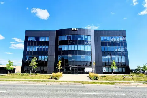
$1,095,000
Reduced $99,000
2225 Markham Road 102
Rouge E11, Toronto
Office · MLS® E13435586 · RE/MAX HALLMARK FIRST GROUP REALTY LTD.
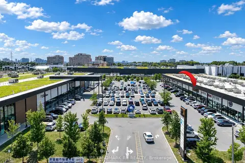
$1,098,000
390 Silver Star Boulevard 133
Milliken, Toronto
Commercial Retail · MLS® E13567224 · HOMELIFE LANDMARK RH REALTY
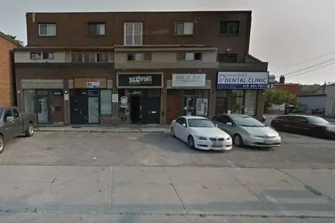
$1,099,900
1853 Davenport Road
Weston-Pellam Park, Toronto
Commercial Retail · MLS® W13037706 · ROYAL LEPAGE SIGNATURE REALTY
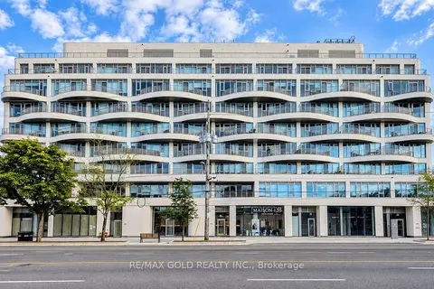
$1,099,900
691 The Queensway
Stonegate-Queensway, Toronto
Commercial Retail · MLS® W13804388 · RE/MAX GOLD REALTY INC.
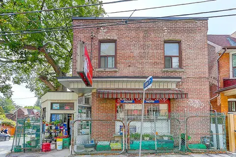
$1,099,901
1281 Davenport Road
Dovercourt-Wallace Emerson-Junction, Toronto
Store W Apt/Office · MLS® W13702364 · HOMELIFE LANDMARK REALTY INC.
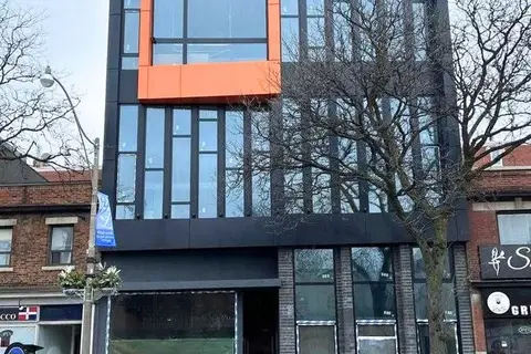
$1,100,000
3429 Yonge Street 4
Lawrence Park North, Toronto
Office · MLS® C13646972 · FOREST HILL REAL ESTATE INC.
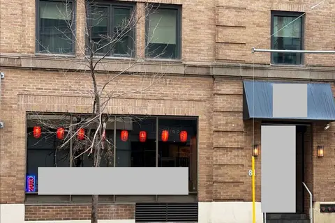 New
$1,100,000
81 Church Street 1
Church-Yonge Corridor, Toronto
Sale Of Business · MLS® C14096290 · SMART SOLD REALTY
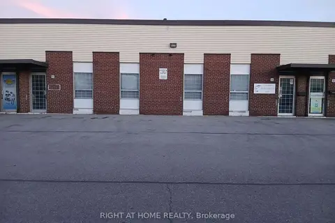
$1,100,000
1 ba
120 Midwest Road 9
Dorset Park, Toronto
Industrial · MLS® E13866060 · RIGHT AT HOME REALTY