56 Henley Drive
439 - Martindale Pond, St. Catharines, L2N 4A9
$1,328,888
- 0 bedrooms
- 0 bathrooms
Listed 54 days ago · MLS® X13719470
About this home
EXCEPTIONAL OPPORTUNITY TO ACQUIRE TWO ADJACENT RESIDENTIAL BUILDING LOTS OVERLOOKING MARTINDALE POND. Offered together, 56A and 56B Henley Drive provide approximately 100 ft. of combined frontage and approximately 11,243 sq. ft. of combined land with an impressive outlook over Martindale Pond and the Royal Canadian Henley Rowing Course. Each lot is separately serviced, with municipal water, sanitary sewer and storm services installed to its respective lot line. Building plans are available for an approximately 3,588 sq. ft. two-storey residence on 56A and an approximately 1,888 sq.ft. bungalow on 56B. With two separate legal building parcels, this is a rare opportunity to create two complementary custom residences in an exceptional setting overlooking Martindale Pond. Enjoy scenic year-round views and an established north-end neighbourhood close to Port Dalhousie, parks, trails, schools, shopping and everyday amenities. Convenient QEW access provides easy travel throughout Niagara and toward Toronto and Buffalo. A distinctive offering for homeowners, builders or investors.
Details
- Type
- Vacant Land
- Lot
- 100 × 114.7 ft
- Kitchens
- 0
- Property tax
- $5,687 (2025)
- Neighbourhood
- 439 - Martindale Pond
- Municipality
- St. Catharines
Building and exterior
- Faces
- West
- Waterfront
- Indirect
Lot
- Size
- 100 × 114.7 ft (rectangular)
- Acreage
- < .50
More
- Possession
- Immediate possession available.
- Cross street
- ONTARIO ST & HENLEY DR
History of this address
7 earlier listings at this address, with sold and leased prices. Create a free account or sign in to see them.
Location
Location is approximate. See nearby homes on the map
Recent sales nearby
See what similar homes within 1 km sold for in the last year. Create a free account or sign in to see them.
The neighbourhood
Getting around Somewhat walkable
No subway, LRT or GO station within a short trip.
Within a 10-minute walk: no grocery stores, 12 cafés and restaurants, 0 parks, 1 pharmacy.
Schools nearby
Elementary
- William Hamilton Merritt Public School
EQAO: Gr 6 reading 96%, math 59%1.5 km - Grapeview Public School
EQAO: Gr 6 reading 95%, math 73%1.7 km - St. Ann Catholic Elementary School Catholic
EQAO: Gr 6 reading 90%, math 69%1.8 km - Gracefield Public School
EQAO: Gr 6 reading 100%, math 92%1.9 km
Secondary
- Eden High School
EQAO: Gr 9 math 73%, literacy test 91%2.0 km - St. Francis Catholic Secondary School Catholic
EQAO: Gr 9 math 71%, literacy test 88%2.1 km
EQAO: share of students meeting the provincial standard (2024–25). Ontario average: Gr 6 reading 86%, math 51%; Gr 9 math 55%; literacy test 83%.
Closest schools, not school zones. Check which school serves this address with the school board before relying on it.
Who lives here postal area L2N
- Owners / renters
- 73% / 27%
- Median household income
- $78,500
- Average age
- 49
- Children under 15
- 13%
- Homes
- 57% detached, 12% high-rise
- Commute by transit
- 2%
- Population
- 30,719
Languages spoken most at home besides English: Spanish 1.1%, Mandarin 0.6%, Arabic 0.5%, Polish 0.4%.
Flood and conservation Regulated area
This address is inside a conservation-authority regulated area (Niagara Peninsula Conservation): near a valley, stream, shoreline or wetland, where flooding or erosion can occur. New building, additions, pools or grading usually need a permit from the authority.
Screening maps only. Ask the conservation authority for a property inquiry before relying on this.
Safety
Crime Severity Index for Niagara Region (St. Catharines) police: 54 vs 57 for Ontario (2025).
Police-reported figures for the whole police service area, not this street. Rates use the area’s resident population.
Distances are approximate. Places © OpenStreetMap contributors. Neighbourhood figures: Statistics Canada, 2021 Census. School results: EQAO via Ontario Data Catalogue (Open Government Licence – Ontario). Flood and regulation mapping: Niagara Peninsula Conservation open data. Crime Severity Index: Statistics Canada.
Living here
Commute
To Union Station (downtown Toronto): 52 km. Transit times · Driving times
Noise 1 source nearby
- 🛣️ QEW100 m
Distances from the map, not noise measurements. Visit at rush hour to judge for yourself.
Internet High-speed
50/10 Mbps or faster available here by cable, fibre or DSL (the federal high-speed target).
From the federal broadband map. Check exact speeds and providers for the address.
Roads, rail, airports and planned stations © OpenStreetMap contributors. Internet: Innovation, Science and Economic Development Canada, National Broadband Data.
Listed by ROYAL LEPAGE NRC REALTY.
Listing information provided by PropTx Innovations Inc. and TRREB; deemed reliable but not guaranteed accurate by PropTx.
Similar homes nearby
See more in St. Catharines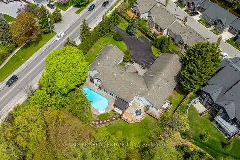
$1,299,900
5 bd3 ba11 pk3500-5000 ft²
166 Lakeshore Road
442 - Vine/Linwell, St. Catharines
Detached · MLS® X13624524 · BOSLEY REAL ESTATE LTD.,
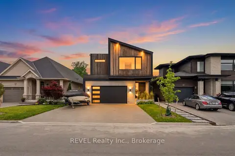
$1,359,000
3+2 bd4 ba8 pk3000-3500 ft²
81 Mackenzie King Avenue
455 - Secord Woods, St. Catharines
Detached · MLS® X13867180 · REVEL Realty Inc., Brokerage
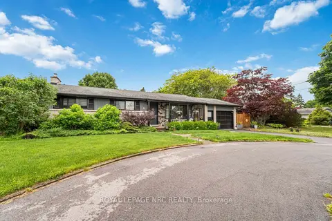
$1,259,000
3+1 bd2 ba7 pk1500-2000 ft²
9 Cartier Drive
442 - Vine/Linwell, St. Catharines
Detached · MLS® X13477178 · ROYAL LEPAGE NRC REALTY
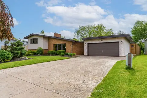
$1,399,000
4+1 bd4 ba6 pk2500-3000 ft²
93 Riverview Boulevard
461 - Glendale/Glenridge, St. Catharines
Detached · MLS® X13730738 · BOSLEY REAL ESTATE LTD.,
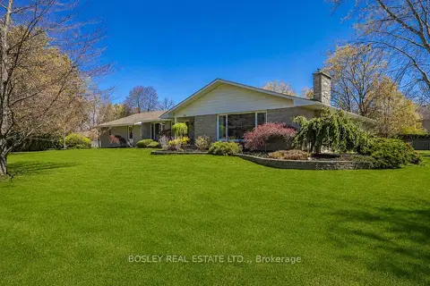
$1,399,900
Reduced $200,100
3+1 bd5 ba9 pk3000-3500 ft²
720 Lake Street
437 - Lakeshore, St. Catharines
Detached · MLS® X13115184 · BOSLEY REAL ESTATE LTD.,
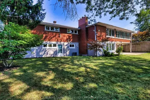
$1,399,900
3+2 bd3 ba4 pk1500-2000 ft²
28 MARSDALE Drive
461 - Glendale/Glenridge, St. Catharines
Detached · MLS® X13876380 · RE/MAX GARDEN CITY REALTY INC, BROKERAGE
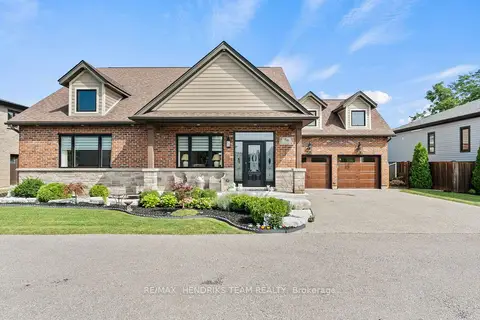
$1,400,000
3+2 bd5 ba6 pk2000-2500 ft²
5B Wilholme Drive
453 - Grapeview, St. Catharines
Detached · MLS® X13697636 · RE/MAX HENDRIKS TEAM REALTY
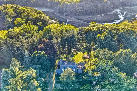
$1,249,900
2 bd2 ba8 pk2000-2500 ft²
1577 Gregory Road
454 - Rural Fourth, St. Catharines
Detached · MLS® X13861942 · RE/MAX NIAGARA REALTY LTD, BROKERAGE