50 Thomas Reily Road 2309
Islington-City Centre West, Toronto, M9B 0C3
$3,000/mo
- 2 bedrooms
- 2 bathrooms
- 1 parking
- 800-899 sq ft
Listed 16 days ago · MLS® W13859318
About this home
Beautiful well maintained Unobstructed View 2 Bedroom Corner Unit For Rent. Walking Distance To Kipling SubwayStation And Kipling Transit Hub.Two Spacious Separated Bedrooms, Bight and Concept Layout, Parking Included. *** Internet Included *** Welcome New Comers and International Students
Details
- Type
- Condo Apartment
- Style
- Apartment
- Age
- 0-5 years
- Size
- 800-899 sq ft
- Basement
- None
- Garage
- Underground
- Kitchens
- 1
- Neighbourhood
- Islington-City Centre West
- Municipality
- Toronto W08
- Rent increase limit
- Probably not covered: units first occupied after Nov. 15, 2018 have no yearly cap in Ontario, so ask the landlord.
Interior
- Bedrooms
- 2 above ground
- Bathrooms
- 1 × 4-piece (flat), 1 × 3-piece (flat)
- Rooms
- 6 above ground
- Family room or den
- No
- Fireplace
- No
- Laundry
- In-Suite Laundry, Ensuite
- Features
- Air Exchanger
- Furnished
- Unfurnished
Heating, cooling and services
- Heating
- Forced Air, Gas
- Air conditioning
- Central Air
Building and exterior
- Style
- Apartment
- Exterior
- Concrete
- Age
- 0-5 years
Parking
- Garage spaces
- 1
- Total parking
- 1
- Driveway and parking
- Underground
Condo
- Balcony
- Open
- Exposure
- North West
- Pets
- Yes-with Restrictions
- Property manager
- Del Property management
Rental terms
- Rent includes
- Building Insurance, Central Air Conditioning, Water, Common Elements, High Speed Internet
More
- Possession
- 1-29 days
- Cross street
- West of Kipling Ave on Dundas St W
Rooms
| Room | Level | Size | Features |
|---|---|---|---|
| Foyer | Flat | ||
| Living Room | Flat | ||
| Dining Room | Flat | ||
| Kitchen | Flat | ||
| Primary Bedroom | Flat | ||
| Bedroom 2 | Flat |
Location
Location is approximate. See nearby homes on the map
The neighbourhood
Getting around Very walkable
- 🚇 Kipling Subway10 min walk
- 🚇 Islington Subway1.9 km
- 🚆 Kipling GO6 min walk
Within a 10-minute walk: 5 grocery stores, 21 cafés and restaurants, 5 parks, 6 pharmacies. Nearest grocery: Farm Boy (650 m). Nearest park: 20 Thomas Riley Road Parkette (100 m).
Schools nearby
Elementary
- Wedgewood Junior School
EQAO: Gr 3 reading 80%, math 76%1.3 km - St. Elizabeth Catholic School Catholic
EQAO: Gr 6 reading 90%, math 69%1.3 km - Our Lady of Peace Catholic School Catholic
EQAO: Gr 6 reading 84%, math 60%1.4 km - Islington Junior Middle School
EQAO: Gr 6 reading 84%, math 41%1.8 km
Secondary
- Etobicoke Year Round Alternative Centre12 min walk
- Bloorlea Middle School1.3 km
EQAO: share of students meeting the provincial standard (2024–25). Ontario average: Gr 6 reading 86%, math 51%; Gr 9 math 55%; literacy test 83%.
Closest schools, not school zones. Check which school serves this address with the school board before relying on it.
Who lives here postal area M9B
- Owners / renters
- 74% / 26%
- Median household income
- $108,000
- Average age
- 42
- Children under 15
- 16%
- Homes
- 53% detached, 37% high-rise
- Commute by transit
- 17%
- Population
- 33,236
Languages spoken most at home besides English: Ukrainian 2.1%, Serbian 1.7%, Spanish 1.6%, Korean 1.5%.
Flood and conservation No mapped hazard
Not inside a mapped flood plain or regulated area.
Screening maps only. Ask the conservation authority for a property inquiry before relying on this.
Safety
Major crime per resident in Etobicoke City Centre (2025): 55% above the Toronto average, down 9% from the year before.
- Assaultabout average
- Break and enterabout average
- Auto theft167% above average
- Robbery139% above average
- Theft from vehicles32% above average
- Shootings98% above average
Crime Severity Index for Toronto police: 60 vs 57 for Ontario (2025).
Police-reported figures for the whole neighbourhood, not this street. Rates use the area’s resident population.
Development nearby 5 active
-
5280 DUNDAS ST W · 500 mSite Plan · Under Review · applied 2025Proposed demolition of the existing building on the subject site and its redevelopment with a 49-storey residential building, inclusive of a 4-storey podium.…Application details
-
5359 DUNDAS ST W · 250 mSite Plan · NOAC Issued · applied 202350-storey mixed-use building, 156.6 metres tall (excluding MPH), with 571 residential units (139 2-bedroom and 57 3-bedroom units), 37,725 square metres of…Application details
-
5415 DUNDAS ST W · 50 mPlan of Subdivision · Draft Plan Approved · applied 2019A Draft Plan of Subdivision application to create a J-shaped public street that connects Dundas Street West to Shorncliffe Road that will service 4 development…Application details
-
5415 DUNDAS ST W · 50 mSite Plan · NOAC Issued · applied 2018Site Plan application for Phase 2 of a larger multi-phased development at Dundas Street West and Shorncliffee Road. This application is proposing two towers of…Application details
-
5507 DUNDAS ST W · 350 mSite Plan · NOAC Issued · applied 2018Proposal for a 22 storey mixed-use building including 6 affordable rental dwelling units, a POPS and a laneway easement.Application details
-
5507 DUNDAS ST W · 350 mOfficial Plan / Zoning By-law Amendment · Closed · applied 2024Proposed Zoning By-law Amendment application to lift the Holding Provision (H) in association with the proposed development at 5507 & 5509 Dundas Street West.…Application details
7 more within 500 m.
Rezoning, site plan, subdivision and condominium applications filed with the city.
Distances are approximate. Places © OpenStreetMap contributors. Neighbourhood figures: Statistics Canada, 2021 Census. School results: EQAO via Ontario Data Catalogue (Open Government Licence – Ontario). Neighbourhood crime: Toronto Police Service Public Safety Data Portal (Open Government Licence – Toronto Police Service). Crime Severity Index: Statistics Canada. Planning applications: City of Toronto open data.
Living here
Commute
To Union Station (downtown Toronto): 13 km. Transit times · Driving times
Noise 1 source nearby
- 🚆 Rail line (Galt Subdivision)100 m
Distances from the map, not noise measurements. Visit at rush hour to judge for yourself.
Trees
7 City street trees within 100 m, mostly honeys. That’s fewer than the Toronto average of 42.
Trees on City boulevards only, not private yards or parks.
Internet High-speed
50/10 Mbps or faster available here by cable, fibre or DSL (the federal high-speed target).
From the federal broadband map. Check exact speeds and providers for the address.
Short-term rentals
Only in your principal residence (where you live). The entire home can be rented up to 180 nights a year; renting up to 3 bedrooms while you live there has no limit. Hosts register with the City and collect the 6% accommodation tax.
Zoning, heritage, building permits and street trees: City of Toronto open data (Open Government Licence – Toronto). Roads, rail, airports and planned stations © OpenStreetMap contributors. Internet: Innovation, Science and Economic Development Canada, National Broadband Data.
Listed by T-ONE GROUP REALTY INC.,.
Listing information provided by PropTx Innovations Inc. and TRREB; deemed reliable but not guaranteed accurate by PropTx.
Similar homes nearby
See more in Toronto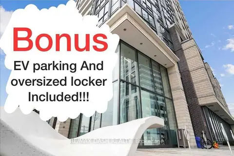
$3,000/mo
Reduced $100
2 bd2 ba1 pk800-899 ft²
20 Thomas Riley Road 2207
Islington-City Centre West, Toronto
Condo Apartment · MLS® W13753862 · RE/MAX DASH REALTY
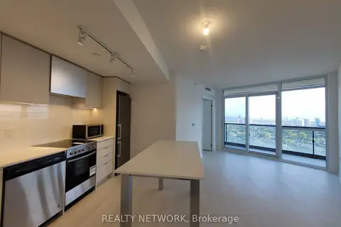
$3,000/mo
Reduced $250
3 bd2 ba1 pk800-899 ft²
Address withheld · Islington-City Centre West
Islington-City Centre West, Toronto
Condo Apartment · MLS® W13760592 · REALTY NETWORK
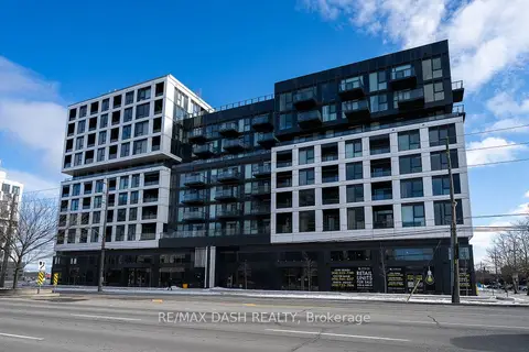
$3,000/mo
3 bd2 ba700-799 ft²
1037 THE QUEENSWAY Avenue 522
Islington-City Centre West, Toronto
Condo Apartment · MLS® W13832182 · RE/MAX DASH REALTY
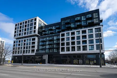
$3,000/mo
2 bd2 ba1 pk700-799 ft²
1037 THE QUEENSWAY Avenue 213
Islington-City Centre West, Toronto
Condo Apartment · MLS® W13832186 · RE/MAX DASH REALTY
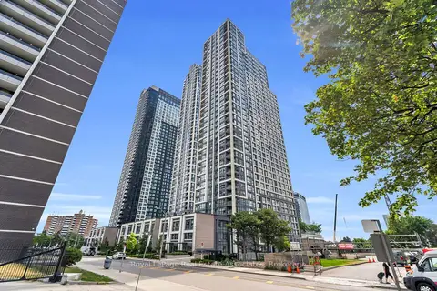 New
$3,000/mo
2+1 bd2 ba1 pk800-899 ft²
5 Mabelle Avenue 335
Islington-City Centre West, Toronto
Condo Apartment · MLS® W14099326 · Royal LePage Real Estate Associates
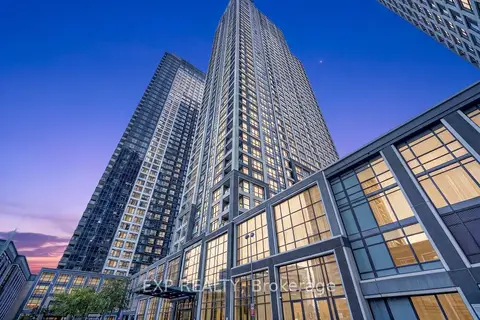
$2,999/mo
2+1 bd2 ba1 pk700-799 ft²
7 Mabelle Avenue 3807
Islington-City Centre West, Toronto
Condo Apartment · MLS® W13871460 · EXP REALTY
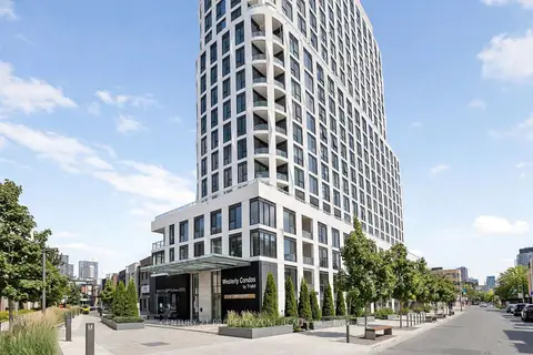 New
$2,999/mo
2 bd2 ba1 pk800-899 ft²
25 Cordova Avenue 1704
Islington-City Centre West, Toronto
Condo Apartment · MLS® W14095552 · CENTURY 21 PROPERTY ZONE REALTY INC.
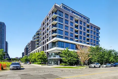
$3,050/mo
2+1 bd2 ba1 pk800-899 ft²
10 Gibbs Road 406
Islington-City Centre West, Toronto
Condo Apartment · MLS® W13820284 · RE/MAX PROFESSIONALS INC.