400 Summerhill Avenue
Rosedale-Moore Park, Toronto, M4W 2E4
$1,819,000
- 7 bedrooms
Listed 19 days ago · MLS® C13849666
About this home
Rarely offered Rosedale-Moore Park investment opportunity! This exceptional freehold commercial-residential property offers outstanding flexibility for end users, investors in one of Toronto's most desirable, walkable neighborhoods. The building comprises four updated units: one street-level commercial space (currently occupied by a busy veterinary clinic with excellent street exposure) and three residential suites above/below, offering varied layouts that support strong rental demand and stable tenancy. Separately metered for added efficiency and long-term flexibility. Ideal for an investor seeking reliable income, or a buyer looking to live in one unit while generating meaningful cash flow from the others. Parking for 3+ cars is a rare bonus in the area. Steps to Summerhill Market, parks, top schools, shops, TTC, and Bike Share-an iconic community that truly feels like an oasis in the city. Shows to perfection.
Details
- Type
- Investment
- Lot
- 38.87 × 41.3 ft
- Garage
- Covered
- Kitchens
- 3
- Property tax
- $17,248 (2025)
- Neighbourhood
- Rosedale-Moore Park
- Municipality
- Toronto C09
Heating, cooling and services
- Heating
- Gas Forced Air Open, Gas
- Air conditioning
- Partial
- Utilities
- Available
Building and exterior
- Building area
- 3,240 Square Feet
More
- Possession
- 30-60 DAYS
- Cross street
- Summerhill Ave/ Mt Pleasant Rd
History of this address
3 earlier listings at this address, with sold and leased prices. Create a free account or sign in to see them.
Location
Location is approximate. See nearby homes on the map
Recent sales nearby
See what similar homes within 1 km sold for in the last year. Create a free account or sign in to see them.
The neighbourhood
Getting around Somewhat walkable
- 🚇 Summerhill Subway18 min walk
- 🚇 St. Clair Subway1.3 km
- 🚆 Toronto Union Station GO4.6 km
Within a 10-minute walk: 1 grocery store, 0 cafés and restaurants, 13 parks, 1 pharmacy. Nearest grocery: Summerhill Market (200 m). Nearest park: Rosedale Park (350 m).
Schools nearby
Elementary
- Whitney Junior Public School
EQAO: Gr 6 reading 100%, math 88%2 min walk - Our Lady of Perpetual Help Catholic School Catholic
EQAO: Gr 6 reading 100%, math 80%8 min walk - Rosedale Junior Public School
EQAO: Gr 6 reading 100%, math 100%15 min walk - Bennington Heights Elementary School
EQAO: Gr 6 reading 95%, math 74%17 min walk
Secondary
- Rosedale Heights School of the Arts
EQAO: Gr 9 math 66%, literacy test 95%1.6 km
EQAO: share of students meeting the provincial standard (2024–25). Ontario average: Gr 6 reading 86%, math 51%; Gr 9 math 55%; literacy test 83%.
Closest schools, not school zones. Check which school serves this address with the school board before relying on it.
Who lives here postal area M4W
- Owners / renters
- 56% / 44%
- Median household income
- $104,000
- Average age
- 45
- Children under 15
- 9%
- Homes
- 18% detached, 63% high-rise
- Commute by transit
- 25%
- Population
- 15,296
Languages spoken most at home besides English: Mandarin 2.8%, Iranian Persian 1%, Spanish 0.9%, Korean 0.8%.
Flood and conservation No mapped hazard
Not inside a mapped flood plain or regulated area.
Screening maps only. Ask the conservation authority for a property inquiry before relying on this.
Safety
Major crime per resident in Rosedale-Moore Park (2025): 43% above the Toronto average, down 10% from the year before.
- Assault41% above average
- Break and enter140% above average
- Auto theftabout average
- Robberyabout average
- Theft from vehiclesabout average
- Shootingsnone reported
Crime Severity Index for Toronto police: 60 vs 57 for Ontario (2025).
Police-reported figures for the whole neighbourhood, not this street. Rates use the area’s resident population.
Development nearby
No planning applications within 500 m in the last five years.
Rezoning, site plan, subdivision and condominium applications filed with the city.
Distances are approximate. Places © OpenStreetMap contributors. Neighbourhood figures: Statistics Canada, 2021 Census. School results: EQAO via Ontario Data Catalogue (Open Government Licence – Ontario). Neighbourhood crime: Toronto Police Service Public Safety Data Portal (Open Government Licence – Toronto Police Service). Crime Severity Index: Statistics Canada.
Living here
Commute
To Union Station (downtown Toronto): 5 km. Transit times · Driving times
Noise 1 source nearby
- 🚆 Rail line (North Toronto Subdivision)0 m
Distances from the map, not noise measurements. Visit at rush hour to judge for yourself.
What can be built CR
Commercial Residential (with a site-specific exception).
From Toronto’s Zoning By-law 569-2013 map. Lot size, setbacks and trees decide what actually fits; check with a planner before you buy.
Building permits
No building permits at this address since 2014.
2 permits on this block of the street in the last 2 years.
Permits filed with the City of Toronto. A permit doesn’t mean the work passed final inspection.
Trees
96 City street trees within 100 m, mostly maples. That’s more than the Toronto average of 42.
Trees on City boulevards only, not private yards or parks.
Internet High-speed
50/10 Mbps or faster available here by cable, fibre or DSL (the federal high-speed target).
From the federal broadband map. Check exact speeds and providers for the address.
Zoning, heritage, building permits and street trees: City of Toronto open data (Open Government Licence – Toronto). Roads, rail, airports and planned stations © OpenStreetMap contributors. Internet: Innovation, Science and Economic Development Canada, National Broadband Data.
Listed by HOMELIFE/VISION REALTY INC..
Listing information provided by PropTx Innovations Inc. and TRREB; deemed reliable but not guaranteed accurate by PropTx.
Similar homes nearby
See more in Toronto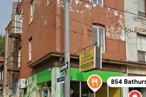
$1,810,000
Reduced $89,000
854 Bathurst Street
Annex, Toronto
Commercial Retail · MLS® C13709900 · HARVEY KALLES REAL ESTATE LTD.
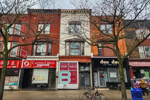
$1,835,000
420 Spadina Avenue
Kensington-Chinatown, Toronto
Commercial Retail · MLS® C13816384 · BOSLEY REAL ESTATE LTD.
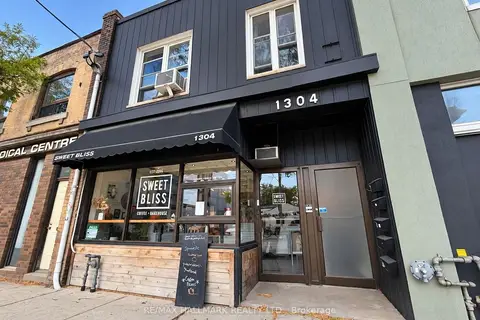
$1,800,000
6 bd1 ba
1304 Queen Street E
South Riverdale, Toronto
Commercial Retail · MLS® E14081648 · RE/MAX HALLMARK REALTY LTD.
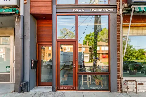
$1,800,000
4 ba
375 Jane Street
Runnymede-Bloor West Village, Toronto
Commercial Retail · MLS® W13865688 · CRESCENT REAL ESTATE INC.
$1,799,900
1 ba
21 Camden Street 501
Waterfront Communities C1, Toronto
Office · MLS® C13538234 · REAL BROKER ONTARIO LTD.
$1,799,900
2 ba
725 Dovercourt Road
Palmerston-Little Italy, Toronto
Investment · MLS® C13558428 · ROYAL LEPAGE SIGNATURE REALTY
$1,799,000
655 St Clair Avenue W
Wychwood, Toronto
Store W Apt/Office · MLS® C12566794 · FOREST HILL REAL ESTATE INC.
$1,799,000
1 ba
263 Wellington Street W 101
Waterfront Communities C1, Toronto
Commercial Retail · MLS® C13099402 · RIGHT AT HOME REALTY