655 St Clair Avenue W
Wychwood, Toronto, M6C 1A7
$1,799,000
Listed 332 days ago · MLS® C12566794
About this home
Welcome To 655 St Clair Ave W-An Exceptional Opportunity To Own A Prime Mixed-Use Property In Toronto's Vibrant St. Clair West Village, One Of The City's Most Desirable And Rapidly Evolving Corridors. Surrounded By New Developments And Supported By A Strong, Established Community, This Location Offers Outstanding Visibility, Steady Foot Traffic, And Unmatched Convenience. It's Perfectly Suited For Both Investors And End Users Seeking Live/Work Versatility Or A High-Exposure Retail Presence. Featuring A Rare 20' Foot Frontage (As Per GeoWarehouse), The Property Includes Parking For Up To 6 Vehicles (Freshly Paved) Via The Rear Laneway. The Main-Floor Commercial Space Is Currently Tenanted. The Upper-Level Two-Bedroom, One-Bathroom Apartment Will Be Delivered Vacant, Providing Exceptional Potential For Personal Use Or Additional Income. Proudly Owned By The Same Family For Nearly 60 Years, This Is A Special Opportunity With Endless Potential! Ideally Positioned Just Steps From Transit And Minutes From Downtown, The Property Provides Effortless Access To Top-Rated Schools, Stylish Boutiques, Neighbourhood Cafés, Popular Restaurants, And A Full Range Of Amenities. With Flexible Zoning And A Layout Suitable For Various Uses, The Possibilities Here Are Extensive. The Home Is Also A Short Walk To Wychwood Park And The Iconic Wychwood Barns, Further Highlighting The Area's Deep Community Roots And Ongoing Demand. This Is A Must-See Property - An Exciting Chance To Secure A Standout Asset In A Thriving Urban Neighbourhood Where Value, Visibility, And Long-Term Growth Converge.
Details
- Type
- Store W Apt/Office
- Lot
- 20.13 × 120 ft
- Garage
- Lane
- Property tax
- $9,984 (2025)
- Neighbourhood
- Wychwood
- Municipality
- Toronto C02
Heating, cooling and services
- Heating
- Gas Forced Air Open
- Utilities
- Yes
Building and exterior
- Building area
- 1,865 Square Feet
More
- Possession
- 90/TBD
- Cross street
- St Clair Ave W & Wychwood Ave
Location
Location is approximate. See nearby homes on the map
Recent sales nearby
See what similar homes within 1 km sold for in the last year. Create a free account or sign in to see them.
The neighbourhood
Getting around Very walkable
- 🚇 St. Clair West Subway13 min walk
- 🚇 Dupont Subway1.6 km
- 🚆 Exhibition GO5.1 km
Within a 10-minute walk: 6 grocery stores, 64 cafés and restaurants, 14 parks, 8 pharmacies. Nearest grocery: Moberly Natural Foods (100 m). Nearest park: Wychwood Parkette (200 m).
Schools nearby
Elementary
- Humewood Community School
EQAO: Gr 6 reading 87%, math 60%9 min walk - St. Alphonsus Catholic School Catholic
EQAO: Gr 6 reading 96%, math 50%10 min walk - McMurrich Junior Public School
EQAO: Gr 6 reading 96%, math 75%10 min walk - Hillcrest Community School
EQAO: Gr 6 reading 91%, math 61%12 min walk
Secondary
- Winona Drive Senior Public School10 min walk
- Oakwood Collegiate Institute
EQAO: Gr 9 math 44%, literacy test 88%16 min walk
EQAO: share of students meeting the provincial standard (2024–25). Ontario average: Gr 6 reading 86%, math 51%; Gr 9 math 55%; literacy test 83%.
Closest schools, not school zones. Check which school serves this address with the school board before relying on it.
Who lives here postal area M6C
- Owners / renters
- 50% / 50%
- Median household income
- $91,000
- Average age
- 41
- Children under 15
- 16%
- Homes
- 35% detached, 23% high-rise
- Commute by transit
- 33%
- Population
- 23,997
Languages spoken most at home besides English: Spanish 2%, Tagalog (Pilipino, Filipino) 2%, Portuguese 1.7%, Italian 1.3%.
Flood and conservation No mapped hazard
Not inside a mapped flood plain or regulated area.
Screening maps only. Ask the conservation authority for a property inquiry before relying on this.
Safety
Major crime per resident in Wychwood (2025): about the Toronto average, about the same from the year before.
- Assaultabout average
- Break and enter24% above average
- Auto theftabout average
- Robbery67% below average
- Theft from vehicles39% below average
- Shootingsnone reported
Crime Severity Index for Toronto police: 60 vs 57 for Ontario (2025).
Police-reported figures for the whole neighbourhood, not this street. Rates use the area’s resident population.
Development nearby 13 active
-
146 VAUGHAN RD · 450 mSite Plan · Under Review · applied 2026Site Plan Control application to allow a 57.25-metre (17 storeys) mixed-use apartment building containing 110 residential units (including 6 affordable rental…Application details
-
129 VAUGHAN RD · 400 mPlan of Condominium · Draft Plan Approved · applied 2025Draft Plan of Condominium for 153 dwelling units.Application details
-
544-546 ST CLAIR AVE W · 300 mSite Plan · NOAC Issued · applied 2025Site Plan Control application to permit a 3 storey addition with a roof top outdoor playground associated with the proposed childcare space at 542 St. Clair…Application details
-
40 RAGLAN AVE · 400 mSite Plan · NOAC Issued · applied 2022Current proposal since Nov 2025: is for a 37-storey (including Mechanical Penthouse level with indoor and outdoor amenity space), mixed use building with a 174…Application details
-
538 ST CLAIR AVE W · 400 mSite Plan · Under Review · applied 2022Site Plan application for a 35-storey mixed use building comprised of 152 square metres of retail space on the ground floor, and 380 residential units.Application details
-
14 RAGLAN AVE · 400 mSite Plan · NOAC Issued · applied 2022Dec 2023 revised submission: proposes a 34-storey mixed use with a more slender podium, with no revision to the approved site specific GFA, requiring a Minor…Application details
12 more within 500 m.
Rezoning, site plan, subdivision and condominium applications filed with the city.
Distances are approximate. Places © OpenStreetMap contributors. Neighbourhood figures: Statistics Canada, 2021 Census. School results: EQAO via Ontario Data Catalogue (Open Government Licence – Ontario). Neighbourhood crime: Toronto Police Service Public Safety Data Portal (Open Government Licence – Toronto Police Service). Crime Severity Index: Statistics Canada. Planning applications: City of Toronto open data.
Living here
Commute
To Union Station (downtown Toronto): 5 km. Transit times · Driving times
Noise Nothing major nearby
No highway within 500 m, rail line within 300 m, or airport flight path nearby.
Distances from the map, not noise measurements. Visit at rush hour to judge for yourself.
Building permits
No building permits at this address since 2014.
1 permit on this block of the street in the last 2 years.
Permits filed with the City of Toronto. A permit doesn’t mean the work passed final inspection.
Trees
60 City street trees within 100 m. That’s more than the Toronto average of 42.
Trees on City boulevards only, not private yards or parks.
Internet High-speed
50/10 Mbps or faster available here by cable, fibre or DSL (the federal high-speed target).
From the federal broadband map. Check exact speeds and providers for the address.
Zoning, heritage, building permits and street trees: City of Toronto open data (Open Government Licence – Toronto). Roads, rail, airports and planned stations © OpenStreetMap contributors. Internet: Innovation, Science and Economic Development Canada, National Broadband Data.
Listed by FOREST HILL REAL ESTATE INC..
Listing information provided by PropTx Innovations Inc. and TRREB; deemed reliable but not guaranteed accurate by PropTx.
Similar homes nearby
See more in Toronto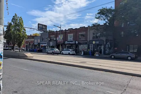
$1,788,000
693 St Clair Avenue W
Wychwood, Toronto
Commercial Retail · MLS® C13807696 · SPEAR REALTY INC.
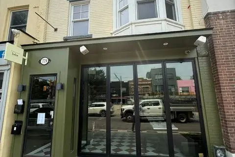
$1,750,000
779 St Clair Avenue W
Wychwood, Toronto
Commercial Retail · MLS® C13765150 · RE/MAX REALTRON REALTY INC.
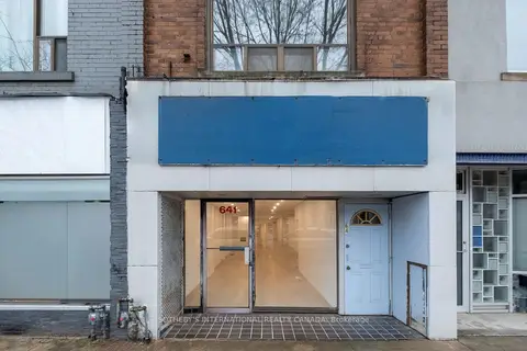
$1,599,000
641 St Clair Avenue W
Wychwood, Toronto
Commercial Retail · MLS® C13797960 · SOTHEBY'S INTERNATIONAL REALTY CANADA
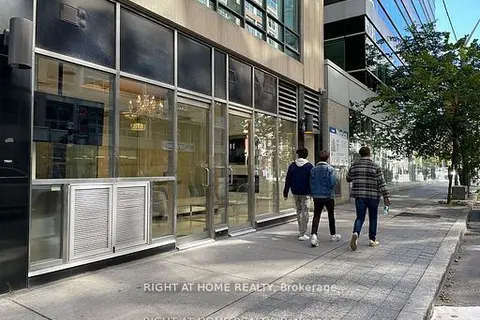
$1,799,000
1 ba
263 Wellington Street W 101
Waterfront Communities C1, Toronto
Commercial Retail · MLS® C13099402 · RIGHT AT HOME REALTY
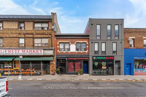
$1,799,000
1108 St Clair Avenue W
Oakwood Village, Toronto
Store W Apt/Office · MLS® C13143168 · RE/MAX ULTIMATE REALTY INC.
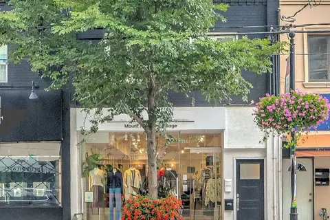
$1,799,000
2 ba
629 Mount Pleasant Road
Mount Pleasant East, Toronto
Store W Apt/Office · MLS® C13820032 · RE/MAX REALTRON REALTY INC.
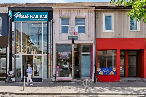
$1,799,000
831 Queen Street W
Trinity-Bellwoods, Toronto
Store W Apt/Office · MLS® C13878114 · RE/MAX ULTIMATE REALTY INC.
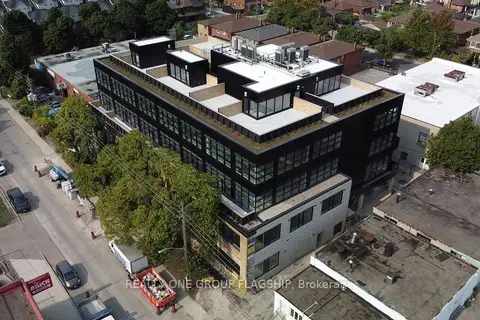
$1,799,000
300 Geary Avenue 311
Dovercourt-Wallace Emerson-Junction, Toronto
Office · MLS® W13533924 · REALTY ONE GROUP FLAGSHIP