379 Ellis Park Road
High Park-Swansea, Toronto, M6S 2V7
$1,549,000
- 0 bedrooms
- 0 bathrooms
Listed 14 days ago · MLS® W13867560
About this home
Exceptional opportunity for a rare, permit-ready vacant lot in one of Toronto's most sought-after west-end neighbourhoods. Ideally situated steps to High Park and the vibrant shops, cafés, restaurants, high-ranked schools, and transit of Bloor West Village, 379 Ellis Park Road offers a remarkable opportunity to build an outstanding modern family residence in a community many are proud to call home for generations. The old house has been demolished, making this a truly shovel-ready site. Included are City-approved permits and a complete architectural plan package for a striking 4 level contemporary home on a 48-foot lot with 3,568 sq. ft. of living space. It is expertly designed with expansive windows, garage parking, an elevator, a covered loggia, and a spectacular rooftop garden/terrace with views toward High Park. The proposal has successfully passed the Committee of Adjustment and TLAB process-an invaluable advantage that saves significant time, planning, and uncertainty. The well-planned rooftop outdoor space offers the potential for a private garden retreat, entertaining area, and a peaceful place to enjoy the surrounding treetop setting. Buyers may also have an opportunity to explore modifications to certain approved elements, subject to their own due diligence and all applicable approvals. Set in a highly desirable, family-friendly pocket known for its strong sense of community, access to green space, recreation, and convenient city living, this is more than a vacant lot-it is a rare chance to build a lasting home in one of Toronto's finest neighbourhoods. Renderings to illustrate the house after development. Ideal for discerning end users, builders, or investors seeking a ready-to-build project with tremendous lifestyle appeal.
Details
- Type
- Vacant Land
- Lot
- 48.17 × 81.44 ft
- Kitchens
- 0
- Property tax
- $7,775 (2025)
- Neighbourhood
- High Park-Swansea
- Municipality
- Toronto W01
Building and exterior
- Faces
- East
Lot
- Size
- 48.17 × 81.44 ft
- Acreage
- < .50
More
- Possession
- TBD
- Cross street
- Bloor west & High Park
History of this address
12 earlier listings at this address, with sold and leased prices. Create a free account or sign in to see them.
Location
Location is approximate. See nearby homes on the map
Recent sales nearby
See what similar homes within 1 km sold for in the last year. Create a free account or sign in to see them.
The neighbourhood
Getting around Very walkable
- 🚇 High Park Subway6 min walk
- 🚇 Runnymede Subway7 min walk
- 🚆 Mount Dennis GO4.2 km
Within a 10-minute walk: 5 grocery stores, 41 cafés and restaurants, 12 parks, 7 pharmacies. Nearest grocery: No Frills (350 m). Nearest park: Parkview Gardens Parkette (200 m).
Schools nearby
Elementary
- Runnymede Junior and Senior Public School
EQAO: Gr 6 reading 99%, math 76%11 min walk - Mountview Alternative School Junior
EQAO: Gr 6 reading 83%, math 83%14 min walk - Keele Street Public School
EQAO: Gr 6 reading 98%, math 84%15 min walk - St. Cecilia Catholic School Catholic
EQAO: Gr 6 reading 98%, math 78%16 min walk
Secondary
- The Student School10 min walk
- Western Technical & Commercial School
EQAO: Gr 9 math 53%, literacy test 83%10 min walk - Ursula Franklin Academy Private
EQAO: Gr 9 math 86%, literacy test 99%11 min walk
EQAO: share of students meeting the provincial standard (2024–25). Ontario average: Gr 6 reading 86%, math 51%; Gr 9 math 55%; literacy test 83%.
Closest schools, not school zones. Check which school serves this address with the school board before relying on it.
Who lives here postal area M6S
- Owners / renters
- 68% / 32%
- Median household income
- $108,000
- Average age
- 41
- Children under 15
- 17%
- Homes
- 36% detached, 29% high-rise
- Commute by transit
- 24%
- Population
- 34,029
Languages spoken most at home besides English: Ukrainian 1%, Russian 1%, Spanish 1%, Polish 1%.
Flood and conservation Regulated area
This address is inside a conservation-authority regulated area (Toronto and Region Conservation Authority): near a valley, stream, shoreline or wetland, where flooding or erosion can occur. New building, additions, pools or grading usually need a permit from the authority.
Screening maps only. Ask the conservation authority for a property inquiry before relying on this.
Safety
Major crime per resident in High Park-Swansea (2025): 35% below the Toronto average, about the same from the year before.
- Assault39% below average
- Break and enter21% above average
- Auto theft60% below average
- Robbery41% below average
- Theft from vehicles39% below average
- Shootingsabout average
Crime Severity Index for Toronto police: 60 vs 57 for Ontario (2025).
Police-reported figures for the whole neighbourhood, not this street. Rates use the area’s resident population.
Development nearby 2 active
-
1938 BLOOR ST W · 350 mSite Plan · Under Review · applied 2025Proposed 19-storey mixed-use building comprised of 137 dwelling units (including 12 rental replacement units) and 300 square metres of ground floor retail with…Application details
-
2115 BLOOR ST W · 150 mSite Plan · NOAC Issued · applied 2017Site plan application to construct an 8-storey mixed use building with retail at-grade and 54 residential units above-grade. 46 vehicle parking spaces and 75…Application details
-
1938 BLOOR ST W · 350 mOfficial Plan / Zoning By-law Amendment · Closed · applied 2024Zoning By-law Amendment and Rental Housing Demolition & Conversion application to permit a 19-storey mixed-use building, containing 144 dwelling units (of…Application details
Rezoning, site plan, subdivision and condominium applications filed with the city.
Distances are approximate. Places © OpenStreetMap contributors. Neighbourhood figures: Statistics Canada, 2021 Census. School results: EQAO via Ontario Data Catalogue (Open Government Licence – Ontario). Flood and regulation mapping: Toronto and Region Conservation Authority open data. Neighbourhood crime: Toronto Police Service Public Safety Data Portal (Open Government Licence – Toronto Police Service). Crime Severity Index: Statistics Canada. Planning applications: City of Toronto open data.
Living here
Commute
To Union Station (downtown Toronto): 7 km. Transit times · Driving times
Noise Nothing major nearby
No highway within 500 m, rail line within 300 m, or airport flight path nearby.
Distances from the map, not noise measurements. Visit at rush hour to judge for yourself.
What can be built RD
Residential Detached (with a site-specific exception).
- ✅ Up to 6 homes on the lot (multiplex): a sixplex ward
- ✅ Garden suite in the backyard
- ✅ Laneway suite, if the lot backs onto a lane
From Toronto’s Zoning By-law 569-2013 map. Lot size, setbacks and trees decide what actually fits; check with a planner before you buy.
Building permits
- Demolition · 2023 · ClosedExisting house was demolished pursuant to a City of Toronto order to comply number. 05 134826 WNP 00 VI
- New Building · 2023 · Permit IssuedConstruct a 3 storey sfd. Existing house was demolished pursuant to a City of Toronto order to comply number. 05 134826 WNP 00 VI
Permits filed with the City of Toronto. A permit doesn’t mean the work passed final inspection.
Trees
100 City street trees within 100 m. That’s more than the Toronto average of 42.
Trees on City boulevards only, not private yards or parks.
Internet High-speed
50/10 Mbps or faster available here by cable, fibre or DSL (the federal high-speed target).
From the federal broadband map. Check exact speeds and providers for the address.
Short-term rentals
Only in your principal residence (where you live). The entire home can be rented up to 180 nights a year; renting up to 3 bedrooms while you live there has no limit. Hosts register with the City and collect the 6% accommodation tax.
Zoning, heritage, building permits and street trees: City of Toronto open data (Open Government Licence – Toronto). Roads, rail, airports and planned stations © OpenStreetMap contributors. Internet: Innovation, Science and Economic Development Canada, National Broadband Data.
Listed by RIGHT AT HOME REALTY.
Listing information provided by PropTx Innovations Inc. and TRREB; deemed reliable but not guaranteed accurate by PropTx.
Similar homes nearby
See more in Toronto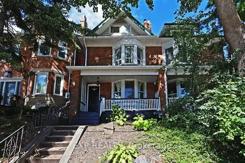
$1,590,000
3+1 bd3 ba1500-2000 ft²
60 Parkdale Road
High Park-Swansea, Toronto
Semi-Detached · MLS® W13783594 · EXP REALTY
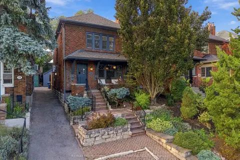
$1,690,000
3 bd2 ba1 pk1100-1500 ft²
26 Larkin Avenue
High Park-Swansea, Toronto
Detached · MLS® W13820688 · RE/MAX PROFESSIONALS SIDOROVA INWOOD REALTY
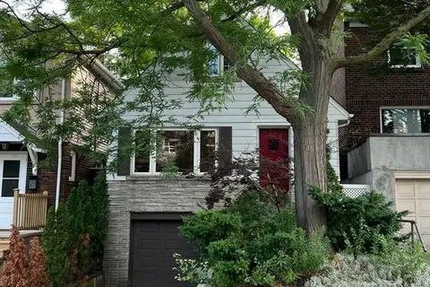
$1,375,000
2 bd1 ba2 pk1100-1500 ft²
22 Runnymede Road
High Park-Swansea, Toronto
Detached · MLS® W13770394 · REALTY ONE GROUP FLAGSHIP
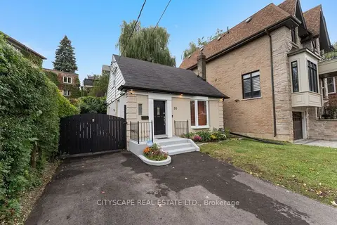
$1,299,999
3+1 bd2 ba4 pk700-1100 ft²
50 South Kingsway
High Park-Swansea, Toronto
Detached · MLS® W13866962 · CITYSCAPE REAL ESTATE LTD.
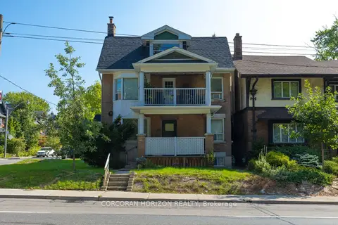
$1,799,000
5 bd4 ba5 pk3000-3500 ft²
355 Parkside Drive
High Park-Swansea, Toronto
Triplex · MLS® W13768692 · CORCORAN HORIZON REALTY
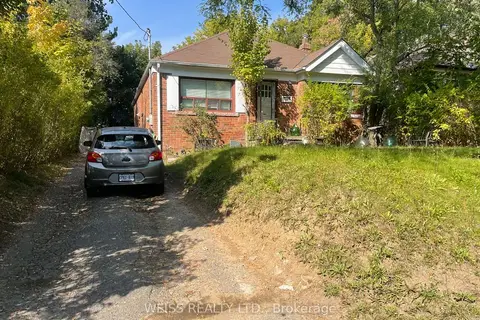
$1,549,000
Reduced $150,000
3+1 bd2 ba4 pk1100-1500 ft²
490 Coldstream Avenue E
Bedford Park-Nortown, Toronto
Detached · MLS® C11946213 · WEISS REALTY LTD.
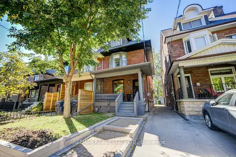
$1,549,000
3+2 bd4 ba1 pk2000-2500 ft²
468 Markham Street
Palmerston-Little Italy, Toronto
Semi-Detached · MLS® C13873598 · FREEMAN REAL ESTATE LTD.
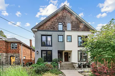
$1,549,000
3+1 bd4 ba4 pk2000-2500 ft²
185 Castlefield Avenue
Yonge-Eglinton, Toronto
Duplex · MLS® C14032112 · RE/MAX ULTIMATE REALTY INC.