361 Cheapside Street
East B, London East, N5Y 3W8
$589,000
- 3 bedrooms
- 2 bathrooms
- 5 parking
- 1500-2000 sq ft
Listed today · MLS® X14101544
About this home
Charming England Inspired Home With Great Curb Appeal 2+1 bedroom 2 storey conveniently located near Western University, two hospitals, schools, church and shopping. The main floor features an updated kitchen (2021), substantial dining room and an oversized living room with natural trim and fireside bookcases. A large additional space with adjacent powder room offers flexibility as a den, office or bedroom. A covered rear porch overlooks a flagstone patio and generous landscaped garden with pond. Additional highlights include heat pump (2025) and a high dry basement. Furnace(2019), shingles (2020), bath (2014). Note: there is some knob and tube in this home. This is a special home offering character, versatility, and convenience.
Details
- Type
- Detached
- Style
- 2-Storey
- Age
- 51-99 years
- Size
- 1500-2000 sq ft
- Lot
- 46 × 133 ft
- Basement
- Unfinished
- Garage
- Detached
- Kitchens
- 1
- Property tax
- $4,594 (2026)
- Neighbourhood
- East B
- Municipality
- London East
- Price per sq ft
- $337 (26% below detached houses in East B, $456)
Interior
- Bedrooms
- 3 above ground
- Bathrooms
- 1 × 2-piece (main), 1 × 4-piece (second)
- Rooms
- 7 above ground
- Family room or den
- No
- Fireplace
- Natural Gas
- Features
- Central Vacuum, Sump Pump, Water Heater
Heating, cooling and services
- Heating
- Forced Air, Gas
- Air conditioning
- Central Air
- Water and sewer
- Sewer
Building and exterior
- Style
- 2-Storey
- Exterior
- Brick
- Roof
- Asphalt Shingle
- Foundation
- Block
- Age
- 51-99 years
- Faces
- South
- Outdoor
- Landscaped, Patio, Porch
Parking
- Garage spaces
- 1
- Total parking
- 5
- Driveway and parking
- Private
Lot
- Size
- 46 × 133 ft (rectangular)
More
- Possession
- Flexible
- Nearby
- Hospital, Park, Place Of Worship, Public Transit, School, School Bus Route
- Cross street
- Colborne St
Location
Location is approximate. See nearby homes on the map
Recent sales nearby
See what similar homes within 1 km sold for in the last year. Create a free account or sign in to see them.
The neighbourhood
Getting around Walkable
No subway, LRT or GO station within a short trip.
Within a 10-minute walk: 3 grocery stores, 11 cafés and restaurants, 2 parks, 3 pharmacies. Nearest grocery: Metro (700 m). Nearest park: Doidge Park (550 m).
Schools nearby
Elementary
- St. Michael Separate School Catholic
EQAO: Gr 6 reading 94%, math 53%4 min walk - Ryerson Public School5 min walk
- St George's Public School Catholic
EQAO: Gr 6 reading 90%, math 81%11 min walk - Northbrae Public School
EQAO: Gr 6 reading 85%, math 31%1.4 km
Secondary
- École secondaire catholique École secondaire Monseigneur-Bruyère French1.7 km
- London Central Secondary School
EQAO: Gr 9 math 81%, literacy test 91%1.7 km - Catholic Central High School Catholic
EQAO: Gr 9 math 57%, literacy test 89%2.0 km
EQAO: share of students meeting the provincial standard (2024–25). Ontario average: Gr 6 reading 86%, math 51%; Gr 9 math 55%; literacy test 83%.
Closest schools, not school zones. Check which school serves this address with the school board before relying on it.
Who lives here postal area N5Y
- Owners / renters
- 45% / 55%
- Median household income
- $63,600
- Average age
- 38
- Children under 15
- 16%
- Homes
- 41% detached, 29% high-rise
- Commute by transit
- 12%
- Population
- 35,934
Languages spoken most at home besides English: Nepali 2%, Malayalam 1.7%, Arabic 1.1%, Assyrian Neo-Aramaic 1.1%.
Safety
Crime Severity Index for London police: 73 vs 57 for Ontario (2025).
Police-reported figures for the whole police service area, not this street. Rates use the area’s resident population.
Distances are approximate. Places © OpenStreetMap contributors. Neighbourhood figures: Statistics Canada, 2021 Census. School results: EQAO via Ontario Data Catalogue (Open Government Licence – Ontario). Crime Severity Index: Statistics Canada.
Living here
Commute
To downtown London: 2 km. Transit times · Driving times
Noise Nothing major nearby
No highway within 500 m, rail line within 300 m, or airport flight path nearby.
Distances from the map, not noise measurements. Visit at rush hour to judge for yourself.
Internet High-speed
50/10 Mbps or faster available here by cable, fibre or DSL (the federal high-speed target).
From the federal broadband map. Check exact speeds and providers for the address.
Roads, rail, airports and planned stations © OpenStreetMap contributors. Internet: Innovation, Science and Economic Development Canada, National Broadband Data.
Listed by SUTTON GROUP - SELECT REALTY.
Listing information provided by PropTx Innovations Inc. and TRREB; deemed reliable but not guaranteed accurate by PropTx.
Similar homes nearby
See more in London East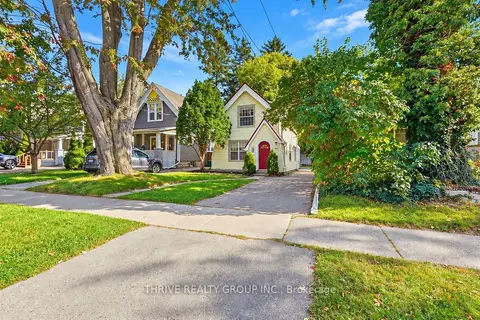 New
$589,900
3 bd1 ba6 pk1100-1500 ft²
966 Colborne Street
East B, London East
Detached · MLS® X14097258 · THRIVE REALTY GROUP INC.
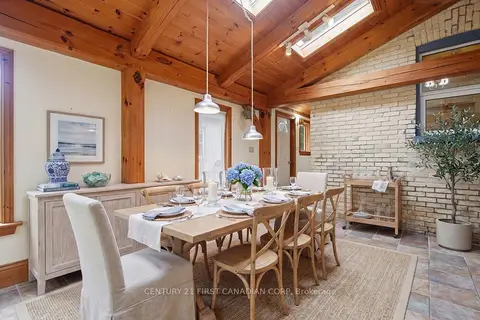 New
$599,000
4 bd2 ba4 pk1500-2000 ft²
834 Colborne Street
East B, London East
Detached · MLS® X14102452 · CENTURY 21 FIRST CANADIAN CORP
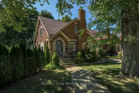
$599,900
Reduced $50,000
5+1 bd3 ba4 pk2000-2500 ft²
525 Grosvenor Street
East B, London East
Detached · MLS® X13538868 · RE/MAX ICON REALTY
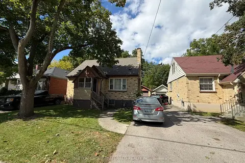
$599,900
5 bd3 ba4 pk1100-1500 ft²
220 Bernard Avenue
East B, London East
Detached · MLS® X14087654 · SUTTON GROUP PREFERRED REALTY INC.
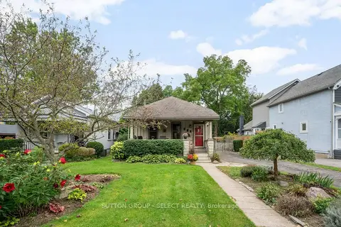
$574,900
2+1 bd1 ba4 pk700-1100 ft²
797 Colborne Street
East B, London East
Detached · MLS® X13804002 · SUTTON GROUP - SELECT REALTY
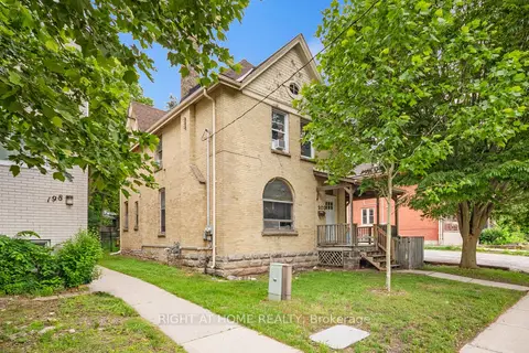
$610,000
3+3 bd3 ba4 pk2000-2500 ft²
202 Sydenham Street
East B, London East
Duplex · MLS® X13782204 · RIGHT AT HOME REALTY
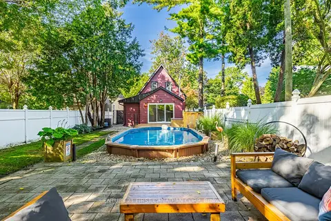 New
$549,900
3 bd2 ba4 pk1100-1500 ft²
26 Thornton Avenue
East B, London East
Detached · MLS® X14099472 · CENTURY 21 FIRST CANADIAN CORP
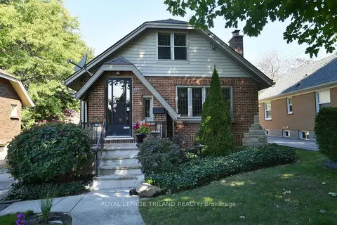
$539,000
2 bd1 ba3 pk700-1100 ft²
580 St James Street
East B, London East
Detached · MLS® X13839806 · ROYAL LEPAGE TRILAND REALTY