278 William Street E
O'Neill, Oshawa, L1G 1K8
$594,900
Reduced $90,000 from $684,900
- 2+2 bedrooms
- 2 bathrooms
- 4 parking
- 700-1100 sq ft
Listed 62 days ago · MLS® E13691246
About this home
Legal Duplex Raised Bungalow on a quite street, the property has a two/plus car detached garage in the rear of the property and a one car paved parking spot in the front yard. The access to the garage is by way of an easement over 292 William Steet. There is a 2 bedroom apartment up and a 2 bedroom apartment down. Both units are currently rented the upper unit for $1473.00 a month plus hydro the lower unit is rented for $1488.30 plus hydro, both tenants would like to stay. The property shows very well both up and down unit. The tenants are excellent tenants always pay on time and keep the units looking really good. The property backs onto the development underway to the north, which is the vacant parcel that starts at Adelaide Road and Ritson Road and goes south and east. 292 William is being sold as well and listed at $999,900.00 the two properties combined are almost an half an acre.
Details
- Type
- Detached
- Style
- Bungalow-Raised
- Size
- 700-1100 sq ft
- Lot
- 36 × 215 ft
- Basement
- Apartment
- Garage
- None
- Kitchens
- 2
- Property tax
- $4,348 (2026)
- Neighbourhood
- O'Neill
- Municipality
- Oshawa
- Price per sq ft
- $661 (27% above detached houses in O'Neill, $519)
Interior
- Bedrooms
- 2 above ground + 2 below
- Bathrooms
- 1 × 4-piece (main), 1 × 4-piece (lower)
- Kitchens
- 2 (1 below ground)
- Rooms
- 4 above ground + 4 below
- Family room or den
- No
- Fireplace
- No
- Features
- Accessory Apartment, Separate Hydro Meter
Heating, cooling and services
- Heating
- Forced Air, Gas
- Air conditioning
- Window Unit(s)
- Water and sewer
- Sewer
Building and exterior
- Style
- Bungalow-Raised
- Exterior
- Brick
- Roof
- Asphalt Shingle
- Foundation
- Block, Concrete
- Faces
- North
- Outdoor
- Awnings
Parking
- Total parking
- 4
- Driveway and parking
- Mutual
Lot
- Size
- 36 × 215 ft (rectangular)
More
- Possession
- ASAP
- Nearby
- Hospital, Fenced Yard, Public Transit
- Cross street
- Ritson Road and Bond
Rooms
| Room | Level | Size | Features |
|---|---|---|---|
| Kitchen | Main | 2.25 × 1.08 m (7'5" × 3'7") | |
| Living Room | Main | 3.44 × 3.56 m (11'3" × 11'8") | |
| Bedroom | Main | 2.68 × 2.96 m (8'10" × 9'9") | |
| Bedroom 2 | Main | 2.59 × 2.87 m (8'6" × 9'5") | |
| Kitchen | Lower | 1.52 × 3.66 m (5' × 12') | |
| Library | Lower | 3.11 × 3.35 m (10'2" × 11') | |
| Bedroom | Lower | 2.69 × 2.74 m (8'10" × 9') | |
| Bedroom 2 | Lower | 2.59 × 2.8 m (8'6" × 9'2") |
Location
Location is approximate. See nearby homes on the map
Recent sales nearby
See what similar homes within 1 km sold for in the last year. Create a free account or sign in to see them.
The neighbourhood
Getting around Very walkable
- 🚆 Whitby GO7.9 km
Within a 10-minute walk: 3 grocery stores, 42 cafés and restaurants, 6 parks, 3 pharmacies. Nearest grocery: Bulk Barn (350 m). Nearest park: Patricia Tot Lot (300 m).
Schools nearby
Elementary
- Coronation Public School
EQAO: Gr 6 reading 79%, math 55%10 min walk - Mary Street Community School
EQAO: Gr 6 reading 85%, math 57%11 min walk - Sir Albert Love Catholic School Catholic
EQAO: Gr 6 reading 85%, math 37%1.2 km - Walter E Harris Public School
EQAO: Gr 6 reading 91%, math 59%1.3 km
Secondary
- O'Neill Collegiate and Vocational Institute
EQAO: Gr 9 math 49%, literacy test 84%15 min walk - Durham Alternative Secondary School - Oshawa1.5 km
EQAO: share of students meeting the provincial standard (2024–25). Ontario average: Gr 6 reading 86%, math 51%; Gr 9 math 55%; literacy test 83%.
Closest schools, not school zones. Check which school serves this address with the school board before relying on it.
Who lives here postal area L1G
- Owners / renters
- 56% / 44%
- Median household income
- $75,500
- Average age
- 44
- Children under 15
- 14%
- Homes
- 45% detached, 23% high-rise
- Commute by transit
- 7%
- Population
- 43,497
Languages spoken most at home besides English: Urdu 0.5%, Spanish 0.5%, Tagalog (Pilipino, Filipino) 0.4%, Gujarati 0.4%.
Flood and conservation No mapped hazard
Not inside a mapped flood plain or regulated area in Central Lake Ontario Conservation’s mapping.
Screening maps only. Ask the conservation authority for a property inquiry before relying on this.
Safety
Crime Severity Index for Durham Region (Oshawa/Whitby/Ajax) police: 43 vs 57 for Ontario (2025).
Police-reported figures for the whole police service area, not this street. Rates use the area’s resident population.
Distances are approximate. Places © OpenStreetMap contributors. Neighbourhood figures: Statistics Canada, 2021 Census. School results: EQAO via Ontario Data Catalogue (Open Government Licence – Ontario). Flood and regulation mapping: Central Lake Ontario Conservation open data. Crime Severity Index: Statistics Canada.
Living here
Commute
To Union Station (downtown Toronto): 51 km. Transit times · Driving times
Noise Nothing major nearby
No highway within 500 m, rail line within 300 m, or airport flight path nearby.
Distances from the map, not noise measurements. Visit at rush hour to judge for yourself.
Internet High-speed
50/10 Mbps or faster available here by cable, fibre or DSL (the federal high-speed target).
From the federal broadband map. Check exact speeds and providers for the address.
Roads, rail, airports and planned stations © OpenStreetMap contributors. Internet: Innovation, Science and Economic Development Canada, National Broadband Data.
Listed by Re/Max Impact Realty.
Listing information provided by PropTx Innovations Inc. and TRREB; deemed reliable but not guaranteed accurate by PropTx.
Similar homes nearby
See more in Oshawa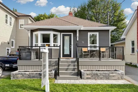
$598,000
3 bd1 ba3 pk1100-1500 ft²
76 Arlington Avenue
O'Neill, Oshawa
Detached · MLS® E14091046 · CENTURY 21 PERCY FULTON LTD.
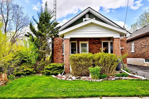
$599,000
3 bd2 ba3 pk700-1100 ft²
116 Buckingham Avenue
O'Neill, Oshawa
Detached · MLS® E13674886 · ROYAL LEPAGE RCR REALTY
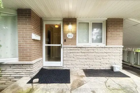
$599,000
3+1 bd2 ba4 pk700-1100 ft²
465 Humewood Avenue N
O'Neill, Oshawa
Detached · MLS® E13858678 · BESTWAY REALTY INC.
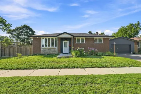 New
$599,000
3 bd2 ba5 pk1100-1500 ft²
471 Rossland Road E
O'Neill, Oshawa
Detached · MLS® E14092222 · ROYAL HERITAGE REALTY LTD.
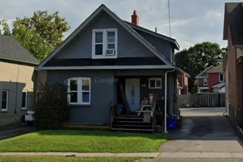
$599,900
Reduced $30,000
5 bd3 ba4 pk1100-1500 ft²
117 Adelaide Avenue E
O'Neill, Oshawa
Duplex · MLS® E13243378 · METROGLOBE REALTY BROKERAGE CORP.
 New
$575,000
3+1 bd2 ba2 pk700-1100 ft²
20 Brock Street
O'Neill, Oshawa
Detached · MLS® E14097292 · RE/MAX REAL ESTATE CENTRE INC.
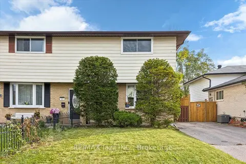
$615,000
3+1 bd3 ba3 pk1100-1500 ft²
419 Maplewood Drive
O'Neill, Oshawa
Semi-Detached · MLS® E13878026 · RE/MAX Jazz INC.
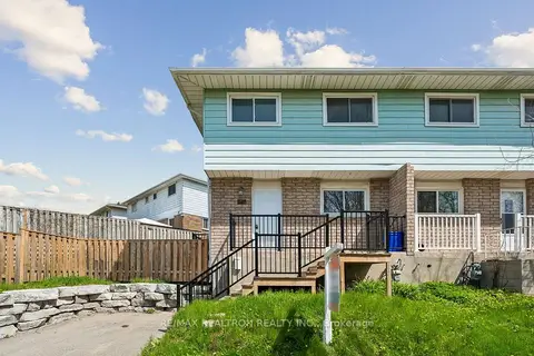
$628,000
Reduced $11,000
4 bd3 ba2 pk1100-1500 ft²
342 Fernwood Avenue
O'Neill, Oshawa
Semi-Detached · MLS® E13803488 · RE/MAX REALTRON REALTY INC.