2665 Thomas Street 45
Erin Mills, Mississauga, L5M 6G5
$3,500/mo
Reduced $100 from $3,600
- 3 bedrooms
- 3 bathrooms
- 4 parking
- 1600-1799 sq ft
Listed 55 days ago · MLS® W13716256
About this home
Available Immediately.Well Maintained Executive Style Townhouse Backing Onto A Park In The High Demand Community Of Central Erin Mills, 3 Bedrooms Incl. Ensuite Master Bedroom, In-House Garage Access, Rare Double Car Garage, Location Is Fantastic! Walk To Quaint Town Of Streetsville W/Shops +Patios To Enjoy. Go Train Mins Away, Located in High Ranked School Zone. Across The Street From Thomas Middle School, Gonzaga, John Fraser High School & Credit Valley Hospital. Easy Access to 403/401. ONE OF THE BEST COMMUNITIES INMISSISSAUGA, FRIENDLY NEIGHBORHOOD, EMBRACED BY MANY GREEN PARKS,SPACIOUS LAYOUT WITH SUNSHINE, UNFINISHED BASEMENT, A LOT OF STORAGESPACE,ENSUITE
Details
- Type
- Condo Townhouse
- Style
- 2-Storey
- Size
- 1600-1799 sq ft
- Basement
- Unfinished
- Garage
- Attached
- Kitchens
- 1
- Neighbourhood
- Erin Mills
- Municipality
- Mississauga
- Rent increase limit
- Depends on when the unit was first lived in: before Nov. 15, 2018 it’s covered by Ontario’s yearly limit (2.1% in 2026); after, there’s no cap.
Interior
- Bedrooms
- 3 above ground
- Bathrooms
- 1 × 4-piece (upper), 1 × 4-piece (upper), 1 × 2-piece (main)
- Rooms
- 7 above ground
- Family room or den
- Yes
- Fireplace
- No
- Laundry
- In-Suite Laundry, Ensuite
- Furnished
- Unfurnished
Heating, cooling and services
- Heating
- Forced Air, Gas
- Air conditioning
- Central Air
Building and exterior
- Style
- 2-Storey
- Exterior
- Brick
Parking
- Garage spaces
- 2
- Total parking
- 4
Condo
- Exposure
- South West
- Property manager
- Shiu Pong Group Limited [416-596-8885)
More
- Possession
- Oct 8th 2026
- Cross street
- Thomas St / Erin Mills Pkwy
Rooms
| Room | Level | Size | Features |
|---|---|---|---|
| Living Room | Ground | 4.87 × 3.35 m (16' × 11') | Hardwood Floor |
| Dining Room | Ground | 4.35 × 3.01 m (14'3" × 9'11") | Hardwood Floor |
| Kitchen | Ground | 3.14 × 2.84 m (10'4" × 9'4") | |
| Primary Bedroom | Second | 4.87 × 3.75 m (16' × 12'4") | Broadloom, Walk-In Closet(s) |
| Bedroom 2 | Second | 3.24 × 3.24 m (10'8" × 10'8") | |
| Bedroom 3 | Second | 3.04 × 3.04 m (10' × 10') | |
| Breakfast | Ground | 2.84 × 2.74 m (9'4" × 9') |
History of this address
5 earlier listings at this address, with sold and leased prices. Create a free account or sign in to see them.
Location
Location is approximate. See nearby homes on the map
The neighbourhood
Getting around Somewhat walkable
- 🚆 Streetsville GO1.6 km
Within a 10-minute walk: 1 grocery store, 0 cafés and restaurants, 6 parks, 1 pharmacy. Nearest grocery: Longo's (500 m). Nearest park: Castlebridge Common (250 m).
Schools nearby
Elementary
- Middlebury Public School
EQAO: Gr 3 reading 83%, math 69%6 min walk - Castlebridge Public School
EQAO: Gr 3 reading 83%, math 77%9 min walk - Our Lady of Mercy Elementary School Catholic
EQAO: Gr 6 reading 91%, math 73%11 min walk - Vista Heights Public School
EQAO: Gr 3 reading 83%, math 82%13 min walk
Secondary
- Thomas Street Middle School3 min walk
- John Fraser Secondary School
EQAO: Gr 9 math 82%, literacy test 95%17 min walk - Streetsville Secondary School
EQAO: Gr 9 math 65%, literacy test 91%1.3 km
EQAO: share of students meeting the provincial standard (2024–25). Ontario average: Gr 6 reading 86%, math 51%; Gr 9 math 55%; literacy test 83%.
Closest schools, not school zones. Check which school serves this address with the school board before relying on it.
Who lives here postal area L5M
- Owners / renters
- 77% / 23%
- Median household income
- $118,000
- Average age
- 40
- Children under 15
- 16%
- Homes
- 46% detached, 11% high-rise
- Commute by transit
- 9%
- Population
- 106,468
Languages spoken most at home besides English: Urdu 5.8%, Arabic 5.3%, Mandarin 4.8%, Yue (Cantonese) 2.4%.
Flood and conservation No mapped hazard
Not inside a mapped flood plain or regulated area in Credit Valley Conservation’s mapping.
Screening maps only. Ask the conservation authority for a property inquiry before relying on this.
Safety
Crime Severity Index for Peel Region (Mississauga/Brampton) police: 59 vs 57 for Ontario (2025).
Police-reported figures for the whole police service area, not this street. Rates use the area’s resident population.
Development nearby
No planning applications within 500 m in the last five years.
Rezoning, site plan, subdivision and condominium applications filed with the city.
Distances are approximate. Places © OpenStreetMap contributors. Neighbourhood figures: Statistics Canada, 2021 Census. School results: EQAO via Ontario Data Catalogue (Open Government Licence – Ontario). Flood and regulation mapping: Credit Valley Conservation open data. Crime Severity Index: Statistics Canada.
Living here
Commute
To Union Station (downtown Toronto): 29 km. Transit times · Driving times
Noise Nothing major nearby
No highway within 500 m, rail line within 300 m, or airport flight path nearby.
Distances from the map, not noise measurements. Visit at rush hour to judge for yourself.
Internet High-speed
50/10 Mbps or faster available here by cable, fibre or DSL (the federal high-speed target).
From the federal broadband map. Check exact speeds and providers for the address.
Short-term rentals
Only in your principal residence, with a City licence: not allowed in investment properties. Up to 180 nights a year, no more than 30 in a row.
Roads, rail, airports and planned stations © OpenStreetMap contributors. Internet: Innovation, Science and Economic Development Canada, National Broadband Data.
Listed by RE/MAX GOLD REALTY INC..
Listing information provided by PropTx Innovations Inc. and TRREB; deemed reliable but not guaranteed accurate by PropTx.
Similar homes nearby
See more in Mississauga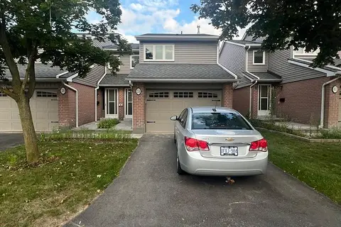
$3,250/mo
3 bd3 ba2 pk1200-1399 ft²
3125 Fifth Line W 59
Erin Mills, Mississauga
Common Element Condo · MLS® W13689068 · iCloud Realty Ltd.
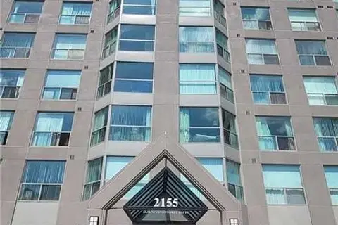
$3,249/mo
2 bd2 ba1 pk1200-1399 ft²
2155 Burnhamthorpe Road 604
Erin Mills, Mississauga
Condo Apartment · MLS® W14081796 · ROYAL LEPAGE SIGNATURE REALTY
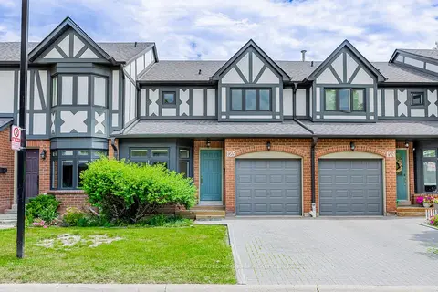
$3,800/mo
Reduced $100
3 bd3 ba2 pk1400-1599 ft²
3050 Orleans Road 125
Erin Mills, Mississauga
Condo Townhouse · MLS® W13762154 · RE/MAX HALLMARK ARI ZADEGAN GROUP REALTY
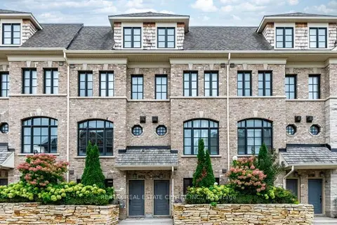
$3,800/mo
3 bd3 ba2 pk1800-1999 ft²
2034 Queensborough Gate
Erin Mills, Mississauga
Condo Townhouse · MLS® W13808124 · RE/MAX REAL ESTATE CENTRE INC.
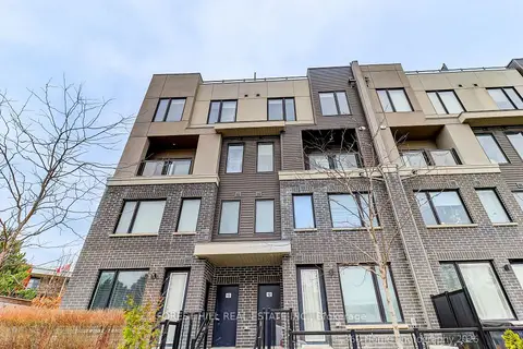
$3,200/mo
3 bd3 ba1 pk1200-1399 ft²
3472 Widdicombe Way 12
Erin Mills, Mississauga
Condo Townhouse · MLS® W13883858 · FOREST HILL REAL ESTATE INC.
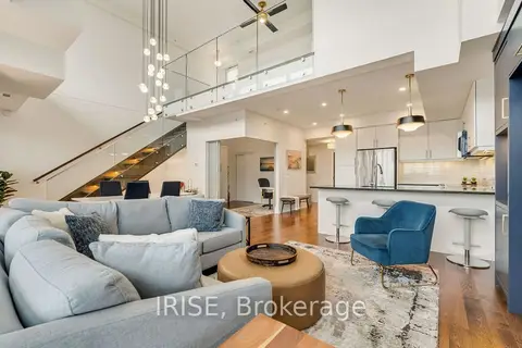
$4,000/mo
2 bd2 ba2 pk1200-1399 ft²
3170 Erin Mills Parkway 437
Erin Mills, Mississauga
Condo Apartment · MLS® W13839372 · IRISE
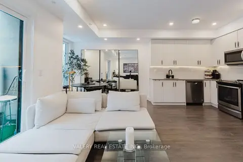
$3,000/mo
2 bd3 ba1 pk1200-1399 ft²
3492 Widdicombe Way 16
Erin Mills, Mississauga
Condo Townhouse · MLS® W13864320 · VALERY REAL ESTATE INC.
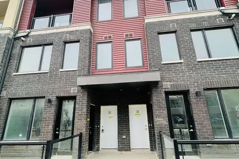 New
$3,000/mo
3 bd3 ba1 pk1200-1399 ft²
3546 Colonial Drive 25
Erin Mills, Mississauga
Condo Townhouse · MLS® W14097214 · WORLD CLASS REALTY POINT