228 Queens Quay W 8
Waterfront Communities C1, Toronto, M5J 2X1
$178,888
Listed 174 days ago · MLS® C13058540
About this home
BE YOUR OWN BOSS - RARE WATERFRONT RETAIL OPPORTUNITY ON QUEENS QUAY, IDEALLY POSITIONED IN ONE OF TORONTO'S MOST VIBRANT AND HIGH-TRAFFIC WATERFRONT COMMUNITIES, WITH ANTICIPATED INCREASED TOURISM DRIVEN BY UPCOMING FIFA WORLD CUP EXPECTED TO DRAW OVER 300,000 VISITORS TO THE CITY. CURRENTLY OPERATING AS BACCO MARKET, A PREMIUM EUROPEAN-STYLE BOTTEGA AND SPECIALTY FOOD MARKET, THIS IS AN EXCELLENT OPPORTUNITY FOR AN ENTREPRENEUR TO TAKE OVER A WELL-ESTABLISHED, RECOGNIZED, AND TURN-KEY STOREFRONT IN AN UNBEATABLE LOCATION. THE PREMISES OFFER APPROXIMATELY 1,200 SQ. FT. OF EFFICIENTLY LAID-OUT SPACE, FEATURING A CURATED IN-STORE RETAIL PROGRAM, HIGH-END FIXTURES AND LEASEHOLD IMPROVEMENTS, AND A FULLY INTEGRATED ONLINE ORDERING PLATFORM SUPPORTING BOTH IN-STORE AND DELIVERY SALES.THE BUSINESS BENEFITS FROM STRONG BRAND PRESENCE, AN ESTABLISHED CUSTOMER BASE, AND MULTIPLE REVENUE STREAMS INCLUDING GROCERY, PREPARED FOODS, AND SPECIALTY IMPORTS. EXISTING LICENSING INCLUDES LOTTERY, TOBACCO, ALCOHOL, AND FOOD PREPARATION. SURROUNDED BY MAJOR ANCHORS AND DESTINATIONS SUCH AS LOBLAWS, STARBUCKS, SHOPPERS DRUG MART, BILLY BISHOP AIRPORT, THE TORONTO MUSIC GARDEN AND THE WATERFRONT TRAIL, THE LOCATION BENEFITS FROM EXCEPTIONAL FOOT TRAFFIC, A DENSE RESIDENTIAL COMMUNITY, AND CONSISTENT YEAR-ROUND TOURISM . AN IDEAL OPPORTUNITY FOR AN OWNER-OPERATOR OR BRAND LOOKING TO EXPAND INTO A HIGH-EXPOSURE WATERFRONT LOCATION WITH EXISTING INFRASTRUCTURE AND IMMEDIATE OPERATING CAPABILITY.
Details
- Type
- Sale Of Business
- Garage
- Visitor
- Property tax
- $21 (2025)
- Neighbourhood
- Waterfront Communities C1
- Municipality
- Toronto C01
Heating, cooling and services
- Heating
- Gas Forced Air Open
- Air conditioning
- Yes
- Utilities
- Yes
Building and exterior
- Building area
- 1,200 Square Feet
More
- Possession
- FLEXIBLE
- Cross street
- Queens Quay & Lower Simcoe St
- Business type
- Convenience/Variety
Location
Location is approximate. See nearby homes on the map
Recent sales nearby
See what similar homes within 1 km sold for in the last year. Create a free account or sign in to see them.
The neighbourhood
Getting around Very walkable
- 🚇 Union Subway11 min walk
- 🚇 St. Andrew Subway14 min walk
- 🚆 Toronto Union Station GO9 min walk
Within a 10-minute walk: 15 grocery stores, 195 cafés and restaurants, 24 parks, 10 pharmacies. Nearest grocery: Rabba (150 m). Nearest park: Rees Street Parkette (50 m).
Schools nearby
Elementary
- Bishop Macdonell Catholic Elementary School Catholic
EQAO: Gr 6 reading 97%, math 64%14 min walk - Jean Lumb Public School
EQAO: Gr 6 reading 93%, math 65%14 min walk - The Waterfront School
EQAO: Gr 6 reading 93%, math 71%18 min walk - ALPHA Alternative Junior School1.3 km
Secondary
- City School
EQAO: literacy test 58%18 min walk - Oasis Alternative Secondary School1.3 km
- Contact Alternative School1.7 km
EQAO: share of students meeting the provincial standard (2024–25). Ontario average: Gr 6 reading 86%, math 51%; Gr 9 math 55%; literacy test 83%.
Closest schools, not school zones. Check which school serves this address with the school board before relying on it.
Who lives here postal area M5J
- Owners / renters
- 43% / 57%
- Median household income
- $94,000
- Average age
- 39
- Children under 15
- 6%
- Homes
- 2% detached, 97% high-rise
- Commute by transit
- 22%
- Population
- 16,879
Languages spoken most at home besides English: Mandarin 4.7%, Hindi 1.6%, Yue (Cantonese) 1.6%, Spanish 1.4%.
Flood and conservation No mapped hazard
Not inside a mapped flood plain or regulated area.
Screening maps only. Ask the conservation authority for a property inquiry before relying on this.
Safety
Major crime per resident in Harbourfront-CityPlace (2025): about the Toronto average, up 14% from the year before.
- Assaultabout average
- Break and enter25% below average
- Auto theft75% below average
- Robbery39% below average
- Theft from vehicles42% below average
- Shootingsabout average
Crime Severity Index for Toronto police: 60 vs 57 for Ontario (2025).
Police-reported figures for the whole neighbourhood, not this street. Rates use the area’s resident population.
Development nearby 6 active
-
200 QUEENS QUAY W · 150 mSite Plan · NOAC Issued · applied 2022Site Plan Approval for a 59-storey mixed-use building having a non-residential gross floor area of 330 square metres, and a residential gross floor area of…Application details
-
200 QUEENS QUAY W · 150 mPlan of Condominium · Under Review · applied 2021*** Draft Plan of Condominium for 1482 units.Application details
-
60 HARBOUR ST · 500 mSite Plan · Under Review · applied 2019Site plan application for a proposed 57-storey non-residential building.Application details
-
255 BREMNER BLVD · 250 mSite Plan · Under Review · applied 2018Proposed amendment to the approved site plan application for the Hydro Station (File No. 11 229840 STE 20 SA) to make the temporary driveway access from Lower…Application details
-
7 STATION ST · 500 mOfficial Plan / Zoning By-law Amendment · Council Approved · applied 2014Proposal to construct a 48-storey office tower. The subject site includes 151 Front Street West and 20 York Street.Application details
-
258 BREMNER BLVD · 350 mSite Plan · Under Review · applied 2012INACTIVE Revision to existing site plan agreement for changes to the exterior elevations, site details including gate and fencing work. Phase 1 of CN Tower…
Rezoning, site plan, subdivision and condominium applications filed with the city.
Distances are approximate. Places © OpenStreetMap contributors. Neighbourhood figures: Statistics Canada, 2021 Census. School results: EQAO via Ontario Data Catalogue (Open Government Licence – Ontario). Neighbourhood crime: Toronto Police Service Public Safety Data Portal (Open Government Licence – Toronto Police Service). Crime Severity Index: Statistics Canada. Planning applications: City of Toronto open data.
Living here
Commute
Coming transit
- 🚧 Osgoode 1.3 km
- 🚧 Chinatown 1.4 km
- 🚧 Queen 1.4 km
Stations under construction or approved. Opening dates are the latest public estimates and often move.
Noise 1 source nearby
- 🛣️ Gardiner Expressway50 m
Distances from the map, not noise measurements. Visit at rush hour to judge for yourself.
Trees
78 City street trees within 100 m. That’s more than the Toronto average of 42.
Trees on City boulevards only, not private yards or parks.
Internet High-speed
50/10 Mbps or faster available here by cable, fibre or DSL (the federal high-speed target).
From the federal broadband map. Check exact speeds and providers for the address.
Zoning, heritage, building permits and street trees: City of Toronto open data (Open Government Licence – Toronto). Roads, rail, airports and planned stations © OpenStreetMap contributors. Internet: Innovation, Science and Economic Development Canada, National Broadband Data.
Listed by HOMELIFE/ROMANO REALTY LTD..
Listing information provided by PropTx Innovations Inc. and TRREB; deemed reliable but not guaranteed accurate by PropTx.
Similar homes nearby
See more in Toronto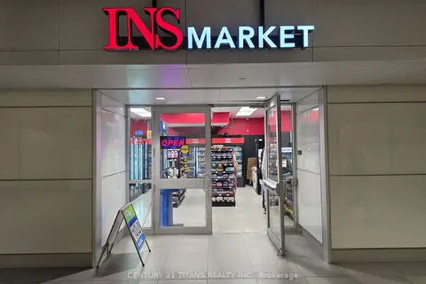
$199,900
81 Bay Street Unit RG1
Waterfront Communities C1, Toronto
Sale Of Business · MLS® C13786878 · CENTURY 21 TITANS REALTY INC.
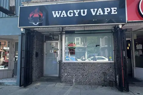
$179,000
621 Gerrard Street E
South Riverdale, Toronto
Commercial Retail · MLS® E13522076 · BAY STREET GROUP INC.
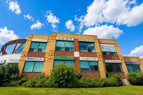
$179,000
4211 Sheppard Avenue E A205&A206
Agincourt South-Malvern West, Toronto
Commercial Retail · MLS® E13595914 · HC REALTY GROUP INC.
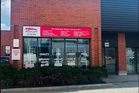
$179,000
Reduced $31,000
2901 Steeles Avenue W 34
York University Heights, Toronto
Sale Of Business · MLS® W13523122 · INTERCITY REALTY INC.
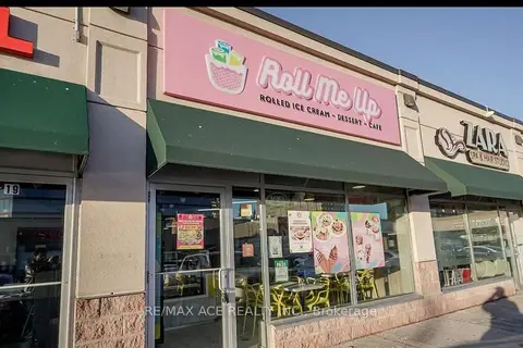
$179,900
62 Overlea Boulevard B20
Thorncliffe Park, Toronto
Sale Of Business · MLS® C13676490 · RE/MAX ACE REALTY INC.

$179,900
3128 Dundas Street W
Junction Area, Toronto
Commercial Retail · MLS® W13683728 · CENTURY 21 LEADING EDGE REALTY INC.
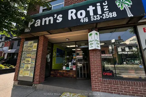
$179,999
1089 Bloor Street W
Dufferin Grove, Toronto
Sale Of Business · MLS® C13697464 · REMAX YOUR COMMUNITY REALTY
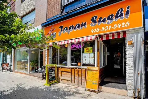
$180,000
Reduced $20,000
482 Bloor Street W
Annex, Toronto
Sale Of Business · MLS® C13788538 · HOMELIFE FRONTIER REALTY INC.