3128 Dundas Street W
Junction Area, Toronto, M6P 2A1
$179,900
Listed 64 days ago · MLS® W13683728
About this home
Located on a busy stretch of Dundas West, this recently renovated space is clean, functional, and well-maintained. $4370 Included (TMI, HST and HEAT) monthly rent. Currently operating as a successful Mediterranean Kebab, Breakfast and Shawarma quick-service restaurant, it can continue as-is or be converted to any style of cuisine. The seller will provide training and recipes to the new owner. The lease has 3.5 years remaining with options for a 5-year renewal. The business generates around $35K in monthly sales. The space is 900 square feet with a full basement for storage and is situated near schools, offices, retail, Streetcar station and other busy restaurants, with strong pedestrian until late Night and vehicle traffic. The property features a fully equipped commercial kitchen with an 8-foot exhaust system and an extensive list of equipment and small Backyard. Parking for one car is available at the rear of the property, List of chattel are available upon requested.
Details
- Type
- Commercial Retail
- Lot
- 19.91 × 110 ft
- Garage
- None
- Neighbourhood
- Junction Area
- Municipality
- Toronto W02
Heating, cooling and services
- Heating
- Gas Forced Air Closed
- Air conditioning
- Yes
- Utilities
- Available
Building and exterior
- Building area
- 3 Square Feet
More
- Possession
- Flexible
- Cross street
- Dundas st W And At. Johns Rd
- Business type
- Hospitality/Food Related
Location
Location is approximate. See nearby homes on the map
Recent sales nearby
See what similar homes within 1 km sold for in the last year. Create a free account or sign in to see them.
The neighbourhood
Getting around Very walkable
- 🚇 High Park Subway1.4 km
- 🚇 Runnymede Subway1.6 km
- 🚆 Mount Dennis GO2.7 km
Within a 10-minute walk: 8 grocery stores, 81 cafés and restaurants, 9 parks, 7 pharmacies. Nearest grocery: Metro (450 m). Nearest park: Malta Park (100 m).
Schools nearby
Elementary
- Annette Street Junior and Senior Public School
EQAO: Gr 6 reading 88%, math 47%8 min walk - High Park Alternative Junior School
EQAO: Gr 6 reading 100%, math 58%8 min walk - St. Cecilia Catholic School Catholic
EQAO: Gr 6 reading 98%, math 78%9 min walk - James Culnan Catholic School Catholic
EQAO: Gr 6 reading 87%, math 49%16 min walk
Secondary
- Humberside Collegiate Institute
EQAO: Gr 9 math 80%, literacy test 96%10 min walk - Ursula Franklin Academy Private
EQAO: Gr 9 math 86%, literacy test 99%14 min walk - Western Technical & Commercial School
EQAO: Gr 9 math 53%, literacy test 83%15 min walk
EQAO: share of students meeting the provincial standard (2024–25). Ontario average: Gr 6 reading 86%, math 51%; Gr 9 math 55%; literacy test 83%.
Closest schools, not school zones. Check which school serves this address with the school board before relying on it.
Who lives here postal area M6P
- Owners / renters
- 42% / 58%
- Median household income
- $86,000
- Average age
- 41
- Children under 15
- 14%
- Homes
- 11% detached, 43% high-rise
- Commute by transit
- 33%
- Population
- 39,870
Languages spoken most at home besides English: Portuguese 2%, Spanish 1.7%, Russian 1.1%, Polish 0.9%.
Flood and conservation No mapped hazard
Not inside a mapped flood plain or regulated area.
Screening maps only. Ask the conservation authority for a property inquiry before relying on this.
Safety
Major crime per resident in Junction Area (2025): 22% above the Toronto average, down 19% from the year before.
- Assaultabout average
- Break and enter61% above average
- Auto theftabout average
- Robberyabout average
- Theft from vehicles173% above average
- Shootings24% below average
Crime Severity Index for Toronto police: 60 vs 57 for Ontario (2025).
Police-reported figures for the whole neighbourhood, not this street. Rates use the area’s resident population.
Development nearby 7 active
-
3286 DUNDAS ST W · 450 mSite Plan · Under Review · applied 2026Site Plan Approval for an 11-storey mixed-use building, which consists of a total of 191 residential dwelling units, including 6 rental replacement units and…Application details
-
126 RYDING AVE · 450 mOfficial Plan / Zoning By-law Amendment · Under Review · applied 2026Proposed applications to permit a mixed-use development on the subject site consisting of two buildings comprised of three towers of 20, 34 and 26 storeys. The…Application details
-
108 VINE AVE · 500 mOfficial Plan / Zoning By-law Amendment · OMB Appeal · applied 2025Proposed standalone Official Plan Amendment (OPA) application which seeks to only redesignate the lands comprising 108-162 Vine Avenue from Core Employment…Application details
-
87 ETHEL AVE · 350 mSite Plan · Under Review · applied 2025Proposed redevelopment of the site will be comprised of (i) buildings A and B; and (ii) buildings C and D which will consist of 7,238.8 sq.m/77,919 sq.ft of…Application details
-
3239 DUNDAS ST W · 300 mSite Plan · NOAC Issued · applied 2021Site Plan Approval application to facilitate the redevelopment of the site for an 11-storey mixed-use building having a non-residential gross floor area of 130…Application details
-
3001 DUNDAS ST W · 400 mSite Plan · NOAC Issued · applied 2021Site Plan Approval to convert the existing 1-storey place of worship into a 5-storey mixed-use building having a residential gross floor area of 1213.15 square…Application details
3 more within 500 m.
Rezoning, site plan, subdivision and condominium applications filed with the city.
Distances are approximate. Places © OpenStreetMap contributors. Neighbourhood figures: Statistics Canada, 2021 Census. School results: EQAO via Ontario Data Catalogue (Open Government Licence – Ontario). Neighbourhood crime: Toronto Police Service Public Safety Data Portal (Open Government Licence – Toronto Police Service). Crime Severity Index: Statistics Canada. Planning applications: City of Toronto open data.
Living here
Commute
To Union Station (downtown Toronto): 8 km. Transit times · Driving times
Noise 1 source nearby
- 🚆 Rail line (Galt Subdivision)200 m
Distances from the map, not noise measurements. Visit at rush hour to judge for yourself.
What can be built CR
Commercial Residential (with a site-specific exception).
From Toronto’s Zoning By-law 569-2013 map. Lot size, setbacks and trees decide what actually fits; check with a planner before you buy.
Building permits
No building permits at this address since 2014.
2 permits on this block of the street in the last 2 years, including 1 new home.
Permits filed with the City of Toronto. A permit doesn’t mean the work passed final inspection.
Trees
94 City street trees within 100 m, mostly maples. That’s more than the Toronto average of 42.
Trees on City boulevards only, not private yards or parks.
Internet High-speed
50/10 Mbps or faster available here by cable, fibre or DSL (the federal high-speed target).
From the federal broadband map. Check exact speeds and providers for the address.
Zoning, heritage, building permits and street trees: City of Toronto open data (Open Government Licence – Toronto). Roads, rail, airports and planned stations © OpenStreetMap contributors. Internet: Innovation, Science and Economic Development Canada, National Broadband Data.
Listed by CENTURY 21 LEADING EDGE REALTY INC..
Listing information provided by PropTx Innovations Inc. and TRREB; deemed reliable but not guaranteed accurate by PropTx.
Similar homes nearby
See more in Toronto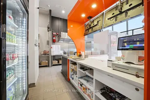
$170,000
90 Weston Road J104
Junction Area, Toronto
Sale Of Business · MLS® W13855516 · CENTURY 21 ATRIA REALTY INC.
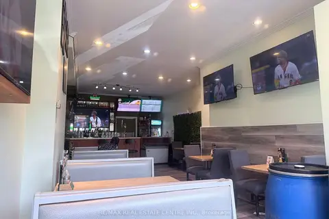
$169,000
399 Keele Street W
Junction Area, Toronto
Sale Of Business · MLS® W13431106 · RE/MAX REAL ESTATE CENTRE INC.
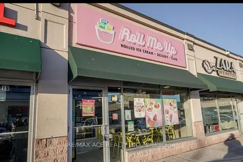
$179,900
62 Overlea Boulevard B20
Thorncliffe Park, Toronto
Sale Of Business · MLS® C13676490 · RE/MAX ACE REALTY INC.
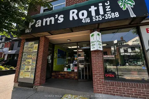
$179,999
1089 Bloor Street W
Dufferin Grove, Toronto
Sale Of Business · MLS® C13697464 · REMAX YOUR COMMUNITY REALTY
$180,000
Reduced $20,000
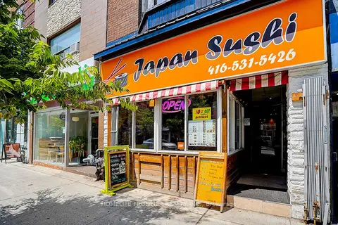
482 Bloor Street W
Annex, Toronto
Sale Of Business · MLS® C13788538 · HOMELIFE FRONTIER REALTY INC.
$180,000
Reduced $219,000
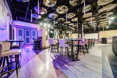
2901 Kennedy Road 1B
Milliken, Toronto
Sale Of Business · MLS® E12937366 · HOMELIFE LANDMARK REALTY INC.
$180,000
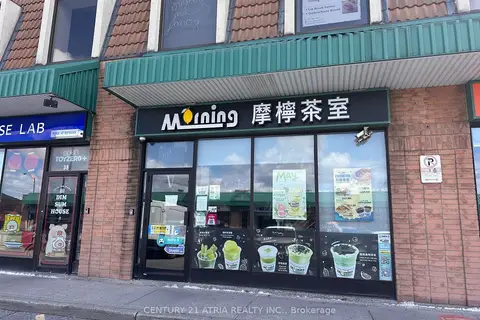
3300 Midland Avenue 37
Milliken, Toronto
Sale Of Business · MLS® E13120186 · CENTURY 21 ATRIA REALTY INC.
$180,000
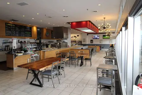
405 The West Mall Unit101
Princess-Rosethorn, Toronto
Sale Of Business · MLS® W13688294 · REMAX CONNECT REALTY