173 Advance Boulevard 57
Steeles Industrial, Brampton, L6T 4Z7
$1,124,999
Reduced $25,001 from $1,150,000
Listed 127 days ago · MLS® W13446288
About this home
Prime industrial/commercial unit located on the border of Brampton and Mississauga in a high-traffic, high-exposure area. Approx. 2,000 sqft featuring a functional layout with approx. 900 sqft of finished office space and approx. 1,100 sqft warehouse area. Equipped with a truck-level shipping door allowing access for 40-foot trailers, ideal for efficient loading and unloading. Ample parking available. Excellent connectivity with close proximity to Highways 401, 407, and 410. Suitable for a variety of permitted uses including warehousing, distribution, and light industrial operations.
Details
- Type
- Industrial
- Garage
- None
- Property tax
- $5,784 (2025)
- Neighbourhood
- Steeles Industrial
- Municipality
- Brampton
Heating, cooling and services
- Air conditioning
- Partial
- Utilities
- Available
Building and exterior
- Building area
- 1,942 Square Feet
More
- Possession
- TBD
- Cross street
- Steeles Ave. E & Advance Blvd
- Business type
- Warehouse
Location
Location is approximate. See nearby homes on the map
Recent sales nearby
See what similar homes within 1 km sold for in the last year. Create a free account or sign in to see them.
The neighbourhood
Getting around Car-dependent
- 🚆 Bramalea GO13 min walk
Within a 10-minute walk: no grocery stores, 8 cafés and restaurants, 1 park. Nearest park: Dixie-Highway 407 Park (600 m).
Schools nearby
Elementary
- Birchbank Public School
EQAO: Gr 3 reading 87%, math 65%1.5 km - Aloma Crescent Public School
EQAO: Gr 3 reading 71%, math 54%1.9 km - St. John Fisher Separate School Catholic
EQAO: Gr 6 reading 77%, math 27%2.5 km
Secondary
- Balmoral Drive Senior Public School2.3 km
EQAO: share of students meeting the provincial standard (2024–25). Ontario average: Gr 6 reading 86%, math 51%; Gr 9 math 55%; literacy test 83%.
Closest schools, not school zones. Check which school serves this address with the school board before relying on it.
Who lives here postal area L6T
- Owners / renters
- 54% / 46%
- Median household income
- $83,000
- Average age
- 39
- Children under 15
- 17%
- Homes
- 21% detached, 47% high-rise
- Commute by transit
- 15%
- Population
- 39,614
Languages spoken most at home besides English: Punjabi (Panjabi) 7.1%, Urdu 2.7%, Hindi 2.2%, Spanish 2.1%.
Flood and conservation Flood plain
This address falls inside a mapped flood plain (Toronto and Region Conservation Authority). Building, additions and grading need a permit from the conservation authority, and flood insurance can cost more or be harder to get.
Screening maps only. Ask the conservation authority for a property inquiry before relying on this.
Safety
Crime Severity Index for Peel Region (Mississauga/Brampton) police: 59 vs 57 for Ontario (2025).
Police-reported figures for the whole police service area, not this street. Rates use the area’s resident population.
Development nearby 1 active
-
16-175 ADVANCE BLVD · 100 mSite Plan Approval · In Review · applied 2025Limited Site Plan
-
1-195 ADVANCE BLVD · 350 mSite Plan Approval · Site Plan Approved · applied 2025Full Site Plan
-
25 RAINHAM CRT · 300 mSite Plan Approval · Site Plan Approved · applied 2024Limited Site Plan
-
0 DIXIE RD · 250 mSite Plan Approval · Site Plan Approved · applied 2022Full Site Plan
Rezoning, site plan, subdivision and condominium applications filed with the city.
Distances are approximate. Places © OpenStreetMap contributors. Neighbourhood figures: Statistics Canada, 2021 Census. School results: EQAO via Ontario Data Catalogue (Open Government Licence – Ontario). Flood and regulation mapping: Toronto and Region Conservation Authority open data. Crime Severity Index: Statistics Canada. Planning applications: City of Brampton open data.
Living here
Commute
To Union Station (downtown Toronto): 26 km. Transit times · Driving times
Noise 1 source nearby
- 🛣️ 407 ETR300 m
Distances from the map, not noise measurements. Visit at rush hour to judge for yourself.
Internet High-speed
50/10 Mbps or faster available here by cable, fibre or DSL (the federal high-speed target).
From the federal broadband map. Check exact speeds and providers for the address.
Roads, rail, airports and planned stations © OpenStreetMap contributors. Internet: Innovation, Science and Economic Development Canada, National Broadband Data.
Listed by RE/MAX GOLD REALTY INC..
Listing information provided by PropTx Innovations Inc. and TRREB; deemed reliable but not guaranteed accurate by PropTx.
Similar homes nearby
See more in Brampton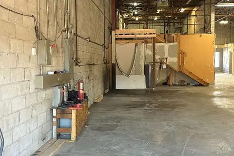
$1,150,000
1 ba
173 ADVANCE Boulevard 54
Steeles Industrial, Brampton
Industrial · MLS® W13640170 · CENTURY 21 PROPERTY ZONE REALTY INC.
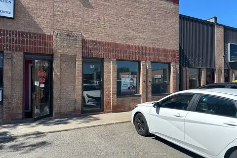
$1,250,000
1 ba
173 ADVANCE Boulevard 53
Steeles Industrial, Brampton
Industrial · MLS® W13635448 · CENTURY 21 PROPERTY ZONE REALTY INC.
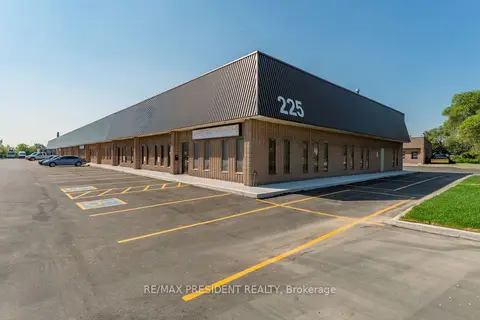
$999,900
225 Advance Boulevard 12
Steeles Industrial, Brampton
Industrial · MLS® W13810110 · RE/MAX PRESIDENT REALTY
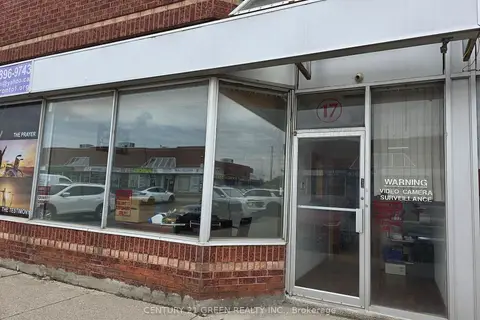
$1,290,000
2 ba
7955 Torbram Road 17
Steeles Industrial, Brampton
Industrial · MLS® W13652438 · CENTURY 21 GREEN REALTY INC.
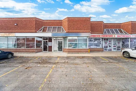
$1,299,000
2 ba
2565 Steeles Avenue E 29
Steeles Industrial, Brampton
Industrial · MLS® W13722112 · RE/MAX WEST REALTY INC.
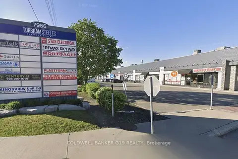
$1,299,000
7956 Torbram Road 12
Steeles Industrial, Brampton
Industrial · MLS® W13852052 · COLDWELL BANKER G19 REALTY
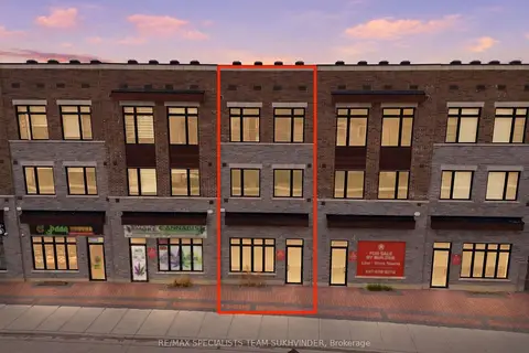
$1,099,999
134 Falby Road
Bram East, Brampton
Store W Apt/Office · MLS® W13824412 · RE/MAX SPECIALISTS TEAM SUKHVINDER
$1,099,000
1 ba
8560 Torbram Road 32
Southgate, Brampton
Industrial · MLS® W13651358 · ROYAL LEPAGE PRG REAL ESTATE