7956 Torbram Road 12
Steeles Industrial, Brampton, L6T 5A2
$1,299,000
Listed 18 days ago · MLS® W13852052
About this home
An outstanding opportunity to acquire a premium industrial/commercial condominium in the prestigious Torbram Steeles Business Centre. Professionally finished and move-in ready, this versatile unit is zoned to accommodate a wide range of permitted uses, including retail, restaurant, showroom, office, service commercial, and other approved business operations. The functional layout features rear shipping with truck-level access capable of accommodating up to 53-foot trailers, making it ideal for distribution, light industrial, and commercial users.Located in one of Brampton's most established business corridors, the property offers exceptional connectivity with immediate access to Highways 407, 410, 427, and 401, and is just minutes from Toronto Pearson International Airport, major convention centers, and surrounding commercial amenities. Ample on-site parking, strong corporate presence, and excellent long-term growth potential make this an exceptional opportunity for owner-occupiers and investors seeking a premier commercial asset in the GTA.
Details
- Type
- Industrial
- Lot
- 20 × 120 ft
- Garage
- Plaza
- Property tax
- $6,535 (2025)
- Neighbourhood
- Steeles Industrial
- Municipality
- Brampton
Heating, cooling and services
- Heating
- Gas Forced Air Closed
- Air conditioning
- Partial
- Utilities
- Available
Building and exterior
- Building area
- 2,407 Square Feet
More
- Possession
- Flexible
- Cross street
- Steeles & Torbram Road
Location
Location is approximate. See nearby homes on the map
Recent sales nearby
See what similar homes within 1 km sold for in the last year. Create a free account or sign in to see them.
The neighbourhood
Getting around Car-dependent
- 🚆 Bramalea GO Station1.5 km
Within a 10-minute walk: no grocery stores, 6 cafés and restaurants, 0 parks.
Schools nearby
Elementary
- Dorset Drive Public School
EQAO: Gr 3 reading 64%, math 56%1.8 km - Eastbourne Drive Public School
EQAO: Gr 3 reading 68%, math 59%1.8 km - St. John Henry Newman Catholic Elementary School Catholic
EQAO: Gr 6 reading 95%, math 57%2.1 km - Marvin Heights Public School
EQAO: Gr 3 reading 86%, math 81%2.1 km
Secondary
- Ascension of Our Lord Secondary School Catholic
EQAO: Gr 9 math 40%, literacy test 69%2.3 km - Morning Star Middle School2.4 km
- Bramalea Secondary School
EQAO: Gr 9 math 44%, literacy test 80%2.5 km
EQAO: share of students meeting the provincial standard (2024–25). Ontario average: Gr 6 reading 86%, math 51%; Gr 9 math 55%; literacy test 83%.
Closest schools, not school zones. Check which school serves this address with the school board before relying on it.
Who lives here postal area L6T
- Owners / renters
- 54% / 46%
- Median household income
- $83,000
- Average age
- 39
- Children under 15
- 17%
- Homes
- 21% detached, 47% high-rise
- Commute by transit
- 15%
- Population
- 39,614
Languages spoken most at home besides English: Punjabi (Panjabi) 7.1%, Urdu 2.7%, Hindi 2.2%, Spanish 2.1%.
Flood and conservation Regulated area
This address is inside a conservation-authority regulated area (Toronto and Region Conservation Authority): near a valley, stream, shoreline or wetland, where flooding or erosion can occur. New building, additions, pools or grading usually need a permit from the authority.
Screening maps only. Ask the conservation authority for a property inquiry before relying on this.
Safety
Crime Severity Index for Peel Region (Mississauga/Brampton) police: 59 vs 57 for Ontario (2025).
Police-reported figures for the whole police service area, not this street. Rates use the area’s resident population.
Development nearby
-
10-31 MELANIE DR · 300 mSite Plan Approval · Closed · applied 2025Limited Site Plan
-
13 MELANIE DR · 350 mSite Plan Approval · Site Plan Approved · applied 2024Limited Site Plan
Rezoning, site plan, subdivision and condominium applications filed with the city.
Distances are approximate. Places © OpenStreetMap contributors. Neighbourhood figures: Statistics Canada, 2021 Census. School results: EQAO via Ontario Data Catalogue (Open Government Licence – Ontario). Flood and regulation mapping: Toronto and Region Conservation Authority open data. Crime Severity Index: Statistics Canada. Planning applications: City of Brampton open data.
Living here
Commute
To Union Station (downtown Toronto): 25 km. Transit times · Driving times
Noise 2 sources nearby
- 🛣️ 407 ETR150 m
- ✈️ In line with a Pearson runway3.7 km
Distances from the map, not noise measurements. Visit at rush hour to judge for yourself.
Internet Wireless only
50/10 Mbps or faster available here by wireless only (the federal high-speed target).
From the federal broadband map. Check exact speeds and providers for the address.
Roads, rail, airports and planned stations © OpenStreetMap contributors. Internet: Innovation, Science and Economic Development Canada, National Broadband Data.
Listed by COLDWELL BANKER G19 REALTY.
Listing information provided by PropTx Innovations Inc. and TRREB; deemed reliable but not guaranteed accurate by PropTx.
Similar homes nearby
See more in Brampton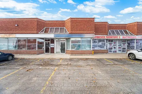
$1,299,000
2 ba
2565 Steeles Avenue E 29
Steeles Industrial, Brampton
Industrial · MLS® W13722112 · RE/MAX WEST REALTY INC.
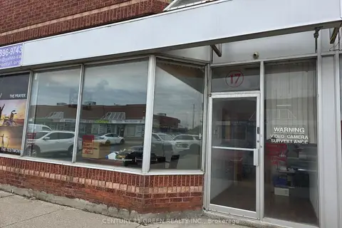
$1,290,000
2 ba
7955 Torbram Road 17
Steeles Industrial, Brampton
Industrial · MLS® W13652438 · CENTURY 21 GREEN REALTY INC.
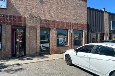
$1,250,000
1 ba
173 ADVANCE Boulevard 53
Steeles Industrial, Brampton
Industrial · MLS® W13635448 · CENTURY 21 PROPERTY ZONE REALTY INC.
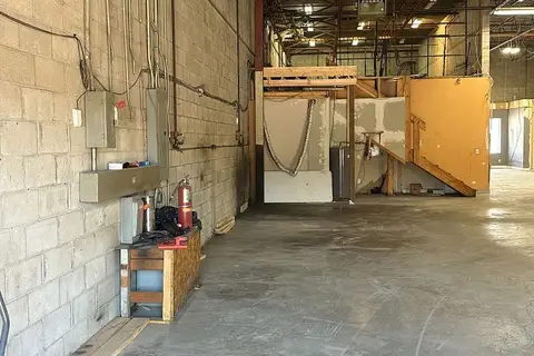
$1,150,000
1 ba
173 ADVANCE Boulevard 54
Steeles Industrial, Brampton
Industrial · MLS® W13640170 · CENTURY 21 PROPERTY ZONE REALTY INC.
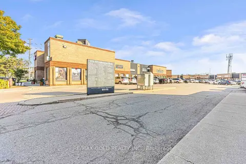
$1,124,999
Reduced $25,001
173 Advance Boulevard 57
Steeles Industrial, Brampton
Industrial · MLS® W13446288 · RE/MAX GOLD REALTY INC.
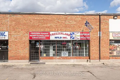
$1,500,000
8 Strathearn Avenue 3
Steeles Industrial, Brampton
Industrial · MLS® W13858232 · RE/MAX GOLD REALTY INC.
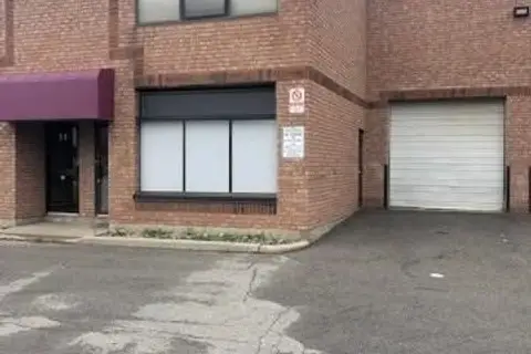
$1,279,913
Reduced $20,000
2131 WILLIAMS Parkway 9
Gore Industrial North, Brampton
Industrial · MLS® W13725518 · RE/MAX PRESIDENT REALTY
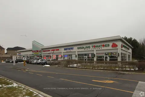
$1,322,400
2280 Bovaird Drive E 7
Sandringham-Wellington, Brampton
Commercial Retail · MLS® W13638982 · AVISON YOUNG COMMERCIAL REAL ESTATE SERVICES, LP