1665 Bloor Street W
High Park-Swansea, Toronto, M6P 1A6
$1,198,000
Listed 64 days ago · MLS® W13683370
About this home
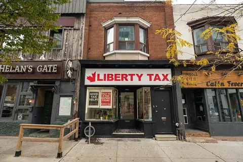
Excellent Bloor St. West Opportunity in Prime High Park Neighbourhood!Don't miss this exceptional investment opportunity just steps from the busy Bloor & Dundas St. intersection. This mixed-use commercial building features a main-floor commercial space currently occupied by 'Liberty Tax office', along with a 2nd-floor residential apartment. Located in a high-traffic, high-visibility area, the property offers excellent access to Dundas West TTC Station, GO/UP Express trains & High Park. The surrounding neighbourhood is vibrant & well established, with an abundance of popular retailers, local restaurants and dining, grocery stores, boutiques, and everyday amenities.The property is situated near the future Choice Properties Bloor & Dundas community development, adding further potential to this already desirable location.Current tenants of liberty tax and 2nd floor residential tenant are month-month., providing flexibility for future owners and investors.A fantastic opportunity to own a versatile mixed-use property in one of Toronto's most sought-after & well-connected neighbourhoods. Don't miss out!
Details
- Type
- Commercial Retail
- Lot
- 16.25 × 79.89 ft
- Garage
- None
- Property tax
- $12,483 (2025)
- Neighbourhood
- High Park-Swansea
- Municipality
- Toronto W01
Heating, cooling and services
- Heating
- Gas Forced Air Open
- Utilities
- Available
Building and exterior
- Building area
- 2,333 Square Feet
More
- Possession
- TBC
- Cross street
- Bloor Street West/ Keele Street
History of this address
2 earlier listings at this address, with sold and leased prices. Create a free account or sign in to see them.
Location
Location is approximate. See nearby homes on the map
Recent sales nearby
See what similar homes within 1 km sold for in the last year. Create a free account or sign in to see them.
The neighbourhood
Getting around Very walkable
- 🚇 Keele Subway4 min walk
- 🚇 Dundas West Subway6 min walk
- 🚆 Exhibition GO3.7 km
Within a 10-minute walk: 5 grocery stores, 57 cafés and restaurants, 12 parks, 7 pharmacies. Nearest grocery: Fresh Picked Fruit Market (250 m). Nearest park: Indian Mound Traffic Island (150 m).
Schools nearby
Elementary
- Keele Street Public School
EQAO: Gr 6 reading 98%, math 84%7 min walk - Mountview Alternative School Junior
EQAO: Gr 6 reading 83%, math 83%7 min walk - Howard Junior Public School
EQAO: Gr 6 reading 93%, math 87%10 min walk - Indian Road Crescent Junior Public School
EQAO: Gr 6 reading 84%, math 79%14 min walk
Secondary
- Bishop Marrocco/Thomas Merton Catholic Secondary School Catholic
EQAO: Gr 9 math 41%, literacy test 69%8 min walk - Lucy McCormick Senior School17 min walk
EQAO: share of students meeting the provincial standard (2024–25). Ontario average: Gr 6 reading 86%, math 51%; Gr 9 math 55%; literacy test 83%.
Closest schools, not school zones. Check which school serves this address with the school board before relying on it.
Who lives here postal area M6P
- Owners / renters
- 42% / 58%
- Median household income
- $86,000
- Average age
- 41
- Children under 15
- 14%
- Homes
- 11% detached, 43% high-rise
- Commute by transit
- 33%
- Population
- 39,870
Languages spoken most at home besides English: Portuguese 2%, Spanish 1.7%, Russian 1.1%, Polish 0.9%.
Flood and conservation No mapped hazard
Not inside a mapped flood plain or regulated area.
Screening maps only. Ask the conservation authority for a property inquiry before relying on this.
Safety
Major crime per resident in High Park-Swansea (2025): 35% below the Toronto average, about the same from the year before.
- Assault39% below average
- Break and enter21% above average
- Auto theft60% below average
- Robbery41% below average
- Theft from vehicles39% below average
- Shootingsabout average
Crime Severity Index for Toronto police: 60 vs 57 for Ontario (2025).
Police-reported figures for the whole neighbourhood, not this street. Rates use the area’s resident population.
Development nearby 9 active
-
26 MOUNTVIEW AVE · 400 mOfficial Plan / Zoning By-law Amendment · Appeal Received · applied 2025Combined Official Plan & Zoning By-law Amendment application for two residential tall buildings (41-storey and 39-storey respectively) with a 6-storey podium.…Application details
-
2400 DUNDAS ST W · 450 mSite Plan · Under Review · applied 2025Site Plan Control application for Phase 2 of 2400-2440 Dundas Street West, which consists of two towers at 25 and 42 storeys on a 2-storey shared podium with…Application details
-
2400 DUNDAS ST W · 450 mSite Plan · NOAC Issued · applied 2025Site Plan Control application for Phase 1 of 2400-2440 Dundas Street West, which consists of a 37-storey tower on a 3 storey podium (Tower A) and will include…Application details
-
1728 BLOOR ST W · 200 mSite Plan · Under Review · applied 2023Site Plan Approval for a 19-storey mixed use building with a total of 99 new dwelling units. The building will have a total gross floor area (GFA) of 6860…Application details
-
2280 DUNDAS ST W · 400 mSite Plan · Under Review · applied 2022The Proposal includes six mixed-use residential buildings on six development blocks. It will offer both ownership and rental housing options, and will be…Application details
-
2288 DUNDAS ST W · 350 mOfficial Plan / Zoning By-law Amendment · Under Review · applied 2022The Proposal includes six mixed-use residential buildings on six development blocks. It will offer both ownership and rental housing options, and will be…Application details
7 more within 500 m.
Rezoning, site plan, subdivision and condominium applications filed with the city.
Distances are approximate. Places © OpenStreetMap contributors. Neighbourhood figures: Statistics Canada, 2021 Census. School results: EQAO via Ontario Data Catalogue (Open Government Licence – Ontario). Neighbourhood crime: Toronto Police Service Public Safety Data Portal (Open Government Licence – Toronto Police Service). Crime Severity Index: Statistics Canada. Planning applications: City of Toronto open data.
Living here
Commute
To Union Station (downtown Toronto): 6 km. Transit times · Driving times
Noise Nothing major nearby
No highway within 500 m, rail line within 300 m, or airport flight path nearby.
Distances from the map, not noise measurements. Visit at rush hour to judge for yourself.
Building permits
No building permits at this address since 2014.
5 permits on this block of the street in the last 2 years.
Permits filed with the City of Toronto. A permit doesn’t mean the work passed final inspection.
Trees
57 City street trees within 100 m. That’s more than the Toronto average of 42.
Trees on City boulevards only, not private yards or parks.
Internet High-speed
50/10 Mbps or faster available here by cable, fibre or DSL (the federal high-speed target).
From the federal broadband map. Check exact speeds and providers for the address.
Zoning, heritage, building permits and street trees: City of Toronto open data (Open Government Licence – Toronto). Roads, rail, airports and planned stations © OpenStreetMap contributors. Internet: Innovation, Science and Economic Development Canada, National Broadband Data.
Listed by RE/MAX PROFESSIONALS SIDOROVA INWOOD REALTY.
Listing information provided by PropTx Innovations Inc. and TRREB; deemed reliable but not guaranteed accurate by PropTx.
Similar homes nearby
See more in Toronto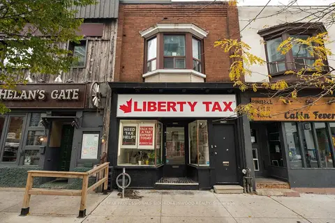
$1,198,000
1665 Bloor Street W
High Park-Swansea, Toronto
Store W Apt/Office · MLS® W13683240 · RE/MAX PROFESSIONALS SIDOROVA INWOOD REALTY
$1,198,000
1665 Bloor Street W
High Park-Swansea, Toronto
Office · MLS® W13683542 · RE/MAX PROFESSIONALS SIDOROVA INWOOD REALTY
$1,199,000
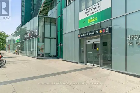
4750 Yonge Street 127-129
Lansing-Westgate, Toronto
Commercial Retail · MLS® C12508322 · CENTURY 21 HERITAGE GROUP LTD.
$1,199,000
Reduced $51,000
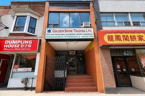
617 Gerrard Street E
South Riverdale, Toronto
Store W Apt/Office · MLS® E13638510 · RE/MAX ULTIMATE REALTY INC.
 New
$1,199,000
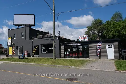
582 Danforth Road
Clairlea-Birchmount, Toronto
Commercial Retail · MLS® E14097196 · UNION REALTY BROKERAGE INC.
$1,199,000
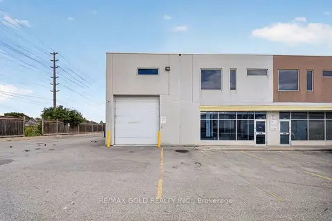
101 Westmore Drive 113
West Humber-Clairville, Toronto
Industrial · MLS® W13721724 · RE/MAX GOLD REALTY INC.
$1,199,000
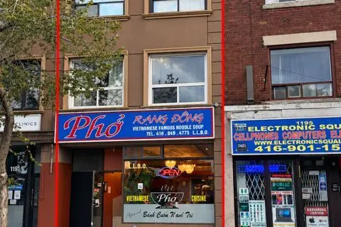
1193 St Clair Avenue W
Corso Italia-Davenport, Toronto
Commercial Retail · MLS® W13863856 · RE/MAX PREMIER INC.
$1,199,900
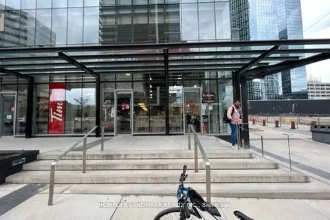
4750 yonge Street 103
Lansing-Westgate, Toronto
Store W Apt/Office · MLS® C12217904 · HOMELIFE LANDMARK REALTY INC.