1220 Ellesmere Road 26
Bendale, Toronto, M1P 2X5
$898,000
- 1 bathrooms
Listed 48 days ago · MLS® E13734770
About this home
Attention investors and user! Do not miss the opportunity of this industrial property for your own business or as investment for rental income. A total area of 2,000 sq ft including a 280 sf office finished with 3 private offices + 1 reception area/show room and 1,720 sf for warehouse space or for a light manufactory. 12' x 10' truck loading dock for shipping and receiving. 14' ceiling height in the warehouse area. 3 designated parking space. Seller is running embroidery/garment business at the property for over 15 years. Seller is open to the option for leasing back the property from the new owner if buying for rental income. Convenient location with easy access to TTC public transit for labor pool. It's about only 1.5 km to Scarborough Town Centre, Toronto - Scarborough Service Canada Centre, Passport Office, Toronto East Tax Services Office, Scarborough YMCA, Go Transit Bus Terminal, Toronto Public Library - Scarborough Civic Centre Branch.
Details
- Type
- Industrial
- Lot
- 20 × 1000 ft
- Garage
- Outside/Surface
- Property tax
- $5,435 (2026)
- Neighbourhood
- Bendale
- Municipality
- Toronto E09
Interior
- Bathrooms
- 1 × bathroom
Heating, cooling and services
- Heating
- Gas Forced Air Closed
- Air conditioning
- Partial
- Utilities
- Yes
Building and exterior
- Building area
- 2,000 Square Feet
More
- Possession
- 60-89 Days/TBA
- Cross street
- East of Midland / West of Brimley Road
- Business type
- Factory/Manufacturing
Location
Location is approximate. See nearby homes on the map
Recent sales nearby
See what similar homes within 1 km sold for in the last year. Create a free account or sign in to see them.
The neighbourhood
Getting around Walkable
- 🚆 Agincourt GO2.2 km
Within a 10-minute walk: 2 grocery stores, 15 cafés and restaurants, 6 parks, 1 pharmacy. Nearest grocery: Bulk Barn (900 m). Nearest park: Edgewood Park (250 m).
Schools nearby
Elementary
- Edgewood Public School
EQAO: Gr 6 reading 44%, math 6%6 min walk - St. Victor Catholic School Catholic
EQAO: Gr 6 reading 77%, math 49%11 min walk - Donwood Park Public School
EQAO: Gr 6 reading 54%, math 32%1.5 km - Ellesmere-Statton Public School
EQAO: Gr 6 reading 84%, math 62%1.7 km
Secondary
- St. Andrews Public School Catholic18 min walk
- David and Mary Thomson Collegiate Institute
EQAO: Gr 9 math 32%, literacy test 72%1.6 km - Sir Alexander Mackenzie Senior Public School2.1 km
EQAO: share of students meeting the provincial standard (2024–25). Ontario average: Gr 6 reading 86%, math 51%; Gr 9 math 55%; literacy test 83%.
Closest schools, not school zones. Check which school serves this address with the school board before relying on it.
Who lives here postal area M1P
- Owners / renters
- 59% / 41%
- Median household income
- $76,000
- Average age
- 42
- Children under 15
- 15%
- Homes
- 25% detached, 51% high-rise
- Commute by transit
- 29%
- Population
- 45,170
Languages spoken most at home besides English: Tamil 5.6%, Yue (Cantonese) 4.3%, Mandarin 3.9%, Tagalog (Pilipino, Filipino) 3.5%.
Flood and conservation No mapped hazard
Not inside a mapped flood plain or regulated area.
Screening maps only. Ask the conservation authority for a property inquiry before relying on this.
Safety
Major crime per resident in Bendale-Glen Andrew (2025): 35% above the Toronto average, down 12% from the year before.
- Assaultabout average
- Break and enter23% below average
- Auto theft106% above average
- Robbery184% above average
- Theft from vehicles37% above average
- Shootings78% above average
Crime Severity Index for Toronto police: 60 vs 57 for Ontario (2025).
Police-reported figures for the whole neighbourhood, not this street. Rates use the area’s resident population.
Development nearby 1 active
-
1050 ELLESMERE RD · 450 mSite Plan · NOAC Issued · applied 2019Proposal for a new fleet maintenance building (City of Toronto) having a gross floor area of 5,751 square metres, with 83 vehicular and 20 bicycle parking…Application details
Rezoning, site plan, subdivision and condominium applications filed with the city.
Distances are approximate. Places © OpenStreetMap contributors. Neighbourhood figures: Statistics Canada, 2021 Census. School results: EQAO via Ontario Data Catalogue (Open Government Licence – Ontario). Neighbourhood crime: Toronto Police Service Public Safety Data Portal (Open Government Licence – Toronto Police Service). Crime Severity Index: Statistics Canada. Planning applications: City of Toronto open data.
Living here
Commute
To Union Station (downtown Toronto): 16 km. Transit times · Driving times
Noise Nothing major nearby
No highway within 500 m, rail line within 300 m, or airport flight path nearby.
Distances from the map, not noise measurements. Visit at rush hour to judge for yourself.
What can be built E
Employment Industrial.
From Toronto’s Zoning By-law 569-2013 map. Lot size, setbacks and trees decide what actually fits; check with a planner before you buy.
Building permits
- Change of Use · 2026 · Not StartedProposed Change of Use permit application of an existing commercial/industrial unit to a multi-use Assembly (Group A, Division 2) and…
- Change of Use · 2026 · Examiner's Notice SentProposed change of use occupancy change to place of worship group a-2 from Industrial
- Interior Alterations · 2017 · Closedinterior alterations for new health club, add fan, replace furnace and condenser
2 permits on this block of the street in the last 2 years.
Permits filed with the City of Toronto. A permit doesn’t mean the work passed final inspection.
Trees
10 City street trees within 100 m, mostly kentuckies. That’s fewer than the Toronto average of 42.
Trees on City boulevards only, not private yards or parks.
Internet High-speed
50/10 Mbps or faster available here by cable, fibre or DSL (the federal high-speed target).
From the federal broadband map. Check exact speeds and providers for the address.
Zoning, heritage, building permits and street trees: City of Toronto open data (Open Government Licence – Toronto). Roads, rail, airports and planned stations © OpenStreetMap contributors. Internet: Innovation, Science and Economic Development Canada, National Broadband Data.
Listed by RIGHT AT HOME REALTY.
Listing information provided by PropTx Innovations Inc. and TRREB; deemed reliable but not guaranteed accurate by PropTx.
Similar homes nearby
See more in Toronto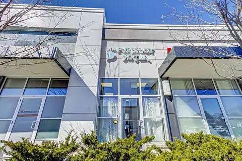
$898,800
1 ba
10 Mallard Road C104
Banbury-Don Mills, Toronto
Commercial Retail · MLS® C13056406 · ROYAL LEPAGE TERREQUITY REALTY
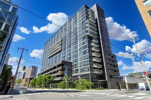
$899,000
320 Richmond Street 104
Moss Park, Toronto
Commercial Retail · MLS® C13642162 · ROYAL LEPAGE FLOWER CITY REALTY
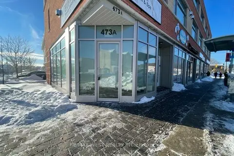
$899,000
473A Rogers Road
Keelesdale-Eglinton West, Toronto
Commercial Retail · MLS® W13728112 · RE/MAX WEST REALTY INC.
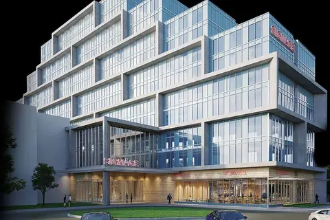
$899,000
600 Dixon Road 113 & 114
West Humber-Clairville, Toronto
Office · MLS® W13837544 · RE/MAX ESCARPMENT REALTY INC.
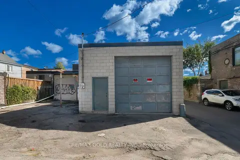
$899,888
131R Millicent Street
Dovercourt-Wallace Emerson-Junction, Toronto
Industrial · MLS® W13792634 · RE/MAX GOLD REALTY INC.
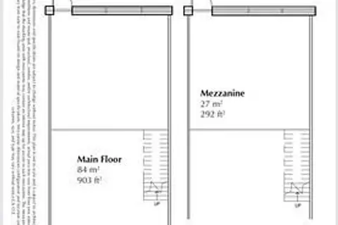
$899,900
3101 KENNEDY Road C6
Milliken, Toronto
Commercial Retail · MLS® E13411624 · AIMHOME REALTY INC.
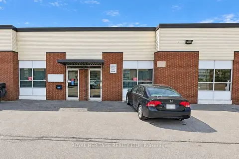
$899,900
3 ba
Address withheld · Dorset Park
Dorset Park, Toronto
Sale Of Business · MLS® E13866464 · ROYAL HERITAGE REALTY LTD.
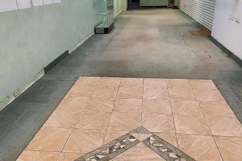
$899,900
1285A St. Clair Avenue
Corso Italia-Davenport, Toronto
Commercial Retail · MLS® W13609934 · ROYAL LEPAGE SIGNATURE REALTY