11 Goodmark Place 4
West Humber-Clairville, Toronto, M9W 6R9
$2,900,000
- 2 bathrooms
Listed 158 days ago · MLS® W13137534
About this home
Strategically located industrial condominium unit in Etobicoke, near Steeles Avenue and Highway 27, comprising approximately 5,800 sq. ft. The unit is part of a professionally managed industrial condominium complex and was previously operated as a truck and automotive body shop, a use that is increasingly limited within comparable industrial condominium inventory.The premises include office space, feature an 18-foot clear ceiling height, and are serviced by two (2) drive-in shipping doors. Ground-floor office improvements were completed within the past 1-4 years. The property is equipped with rooftop HVAC units, a wet sprinkler system, and a 600V /200-amp electrical service.The unit benefits from fourteen (14) surface parking spaces within the complex. It also offers excellent connectivity to Highways 427, 407, and 27, with convenient access to surrounding employment nodes and service amenities.The property is zoned E1 - Employment Industrial, which permits a wide range of industrial and employment uses, including vehicle-related operations, subject to the applicable City of Toronto zoning by-laws.
Details
- Type
- Industrial
- Garage
- Covered
- Property tax
- $15,531 (2025)
- Neighbourhood
- West Humber-Clairville
- Municipality
- Toronto W10
Interior
- Bathrooms
- 2 × bathroom
Heating, cooling and services
- Heating
- Gas Forced Air Closed
- Air conditioning
- Yes
- Utilities
- Available
Building and exterior
- Building area
- 5,800 Square Feet
More
- Possession
- TBD
- Cross street
- Hwy 27 / Steeles Ave
Location
Location is approximate. See nearby homes on the map
Recent sales nearby
See what similar homes within 1 km sold for in the last year. Create a free account or sign in to see them.
The neighbourhood
Getting around Car-dependent
- 🚇 Westmore LRT2.4 km
- 🚆 Etobicoke North GO6.7 km
Within a 10-minute walk: no grocery stores, 0 cafés and restaurants, 0 parks.
Schools nearby
Elementary
- Msgr John Corrigan Catholic School Catholic
EQAO: Gr 6 reading 88%, math 31%16 min walk - Claireville Junior School
EQAO: Gr 3 reading 59%, math 45%1.6 km - St. Angela Catholic School Catholic
EQAO: Gr 6 reading 85%, math 31%1.7 km - John D Parker Junior School
EQAO: Gr 3 reading 81%, math 59%1.7 km
Secondary
- Smithfield Middle School1.7 km
- Holy Cross Catholic Academy Catholic · Private
EQAO: Gr 9 math 70%, literacy test 79%2.1 km
EQAO: share of students meeting the provincial standard (2024–25). Ontario average: Gr 6 reading 86%, math 51%; Gr 9 math 55%; literacy test 83%.
Closest schools, not school zones. Check which school serves this address with the school board before relying on it.
Who lives here postal area M9W
- Owners / renters
- 58% / 42%
- Median household income
- $85,000
- Average age
- 41
- Children under 15
- 15%
- Homes
- 37% detached, 32% high-rise
- Commute by transit
- 22%
- Population
- 40,977
Languages spoken most at home besides English: Punjabi (Panjabi) 6.8%, Spanish 3.2%, Gujarati 2.4%, Tagalog (Pilipino, Filipino) 1.5%.
Flood and conservation No mapped hazard
Not inside a mapped flood plain or regulated area.
Screening maps only. Ask the conservation authority for a property inquiry before relying on this.
Safety
Major crime per resident in West Humber-Clairville (2025): 127% above the Toronto average, down 14% from the year before.
- Assault22% above average
- Break and enter83% above average
- Auto theft486% above average
- Robbery94% above average
- Theft from vehicles158% above average
- Shootings228% above average
Crime Severity Index for Toronto police: 60 vs 57 for Ontario (2025).
Police-reported figures for the whole neighbourhood, not this street. Rates use the area’s resident population.
Development nearby
No planning applications within 500 m in the last five years.
Rezoning, site plan, subdivision and condominium applications filed with the city.
Distances are approximate. Places © OpenStreetMap contributors. Neighbourhood figures: Statistics Canada, 2021 Census. School results: EQAO via Ontario Data Catalogue (Open Government Licence – Ontario). Neighbourhood crime: Toronto Police Service Public Safety Data Portal (Open Government Licence – Toronto Police Service). Crime Severity Index: Statistics Canada.
Living here
Commute
To Union Station (downtown Toronto): 22 km. Transit times · Driving times
Noise 1 source nearby
- 🚆 Rail line (Halton Subdivision)100 m
Distances from the map, not noise measurements. Visit at rush hour to judge for yourself.
What can be built E
Employment Industrial.
From Toronto’s Zoning By-law 569-2013 map. Lot size, setbacks and trees decide what actually fits; check with a planner before you buy.
Building permits
- Interior Alterations · 2015 · Permit IssuedProposal to construct spray booth and related mechanical inside existing garage.
1 permit on this block of the street in the last 2 years.
Permits filed with the City of Toronto. A permit doesn’t mean the work passed final inspection.
Trees
22 City street trees within 100 m, mostly ginkgos. That’s fewer than the Toronto average of 42.
Trees on City boulevards only, not private yards or parks.
Internet High-speed
50/10 Mbps or faster available here by cable, fibre or DSL (the federal high-speed target).
From the federal broadband map. Check exact speeds and providers for the address.
Zoning, heritage, building permits and street trees: City of Toronto open data (Open Government Licence – Toronto). Roads, rail, airports and planned stations © OpenStreetMap contributors. Internet: Innovation, Science and Economic Development Canada, National Broadband Data.
Listed by ROYAL CANADIAN REALTY.
Listing information provided by PropTx Innovations Inc. and TRREB; deemed reliable but not guaranteed accurate by PropTx.
Similar homes nearby
See more in Toronto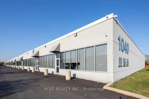
$2,825,000
4 ba
1040 Martin Grove Road 21-22
West Humber-Clairville, Toronto
Industrial · MLS® W13103712 · KOLT REALTY INC.
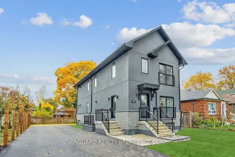
$2,900,000
7 bd7 ba
1937 Lawrence Avenue W
Weston, Toronto
Investment · MLS® W13021966 · VANGUARD REALTY BROKERAGE CORP.
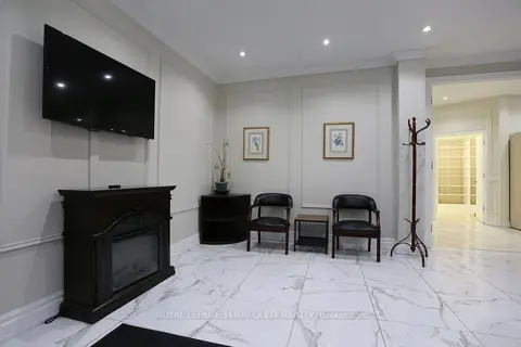
$2,900,000
1888 Wilson Avenue
Downsview-Roding-CFB, Toronto
Commercial Retail · MLS® W13467840 · ROYAL LEPAGE TERREQUITY REALTY
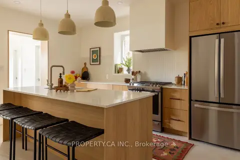
$2,899,000
4 bd4 ba
197 Roxton Road
Trinity-Bellwoods, Toronto
Investment · MLS® C13883252 · PROPERTY.CA INC.
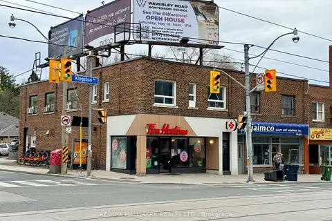 New
$2,899,000
637 Kingston Road
The Beaches, Toronto
Store W Apt/Office · MLS® E14092790 · RE/MAX HALLMARK REALTY LTD.

$2,899,000
1270 Finch Avenue W 2
York University Heights, Toronto
Investment · MLS® W13566240 · RE/MAX EXPERTS

$2,899,000
1270 Finch Avenue W 2
York University Heights, Toronto
Commercial Retail · MLS® W13566258 · RE/MAX EXPERTS
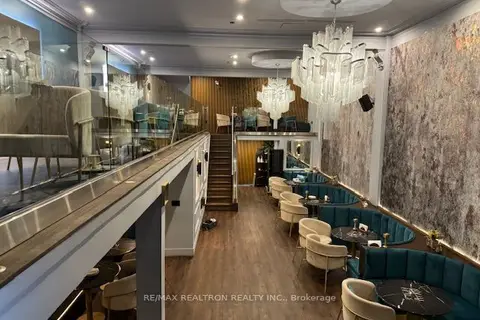
$2,895,000
124 Danforth Avenue
Playter Estates-Danforth, Toronto
Commercial Retail · MLS® E13779966 · RE/MAX REALTRON REALTY INC.