10 Bertrand Avenue
Wexford-Maryvale, Toronto, M1L 2P4
$68,000
Listed 31 days ago · MLS® C13803836
About this home
Hit the ground running with this fully equipped, versatile food truck. Recently renovated from top to bottom, it features a brand-new motor, a freshly updated kitchen, and a commercial-grade exhaust system. Built to handle any cuisine, this mobile kitchen is in pristine condition and 100% ready to operate. Perfect for entrepreneurs or expanding brands looking for an immediate launch.
Details
- Type
- Sale Of Business
- Garage
- None
- Property tax
- $1 (2026)
- Neighbourhood
- Wexford-Maryvale
- Municipality
- Toronto E04
Heating, cooling and services
- Air conditioning
- Yes
More
- Possession
- Immediately
- Cross street
- Sunrise/O'Connor
- Business type
- Fast Food/Takeout
Location
Location is approximate. See nearby homes on the map
Recent sales nearby
See what similar homes within 1 km sold for in the last year. Create a free account or sign in to see them.
The neighbourhood
Getting around Very walkable
- 🚇 Golden Mile LRT11 min walk
- 🚇 Hakimi Lebovic LRT13 min walk
- 🚆 Kennedy GO2.1 km
Within a 10-minute walk: 3 grocery stores, 19 cafés and restaurants, 4 parks. Nearest grocery: Al Premium Food Mart (500 m). Nearest park: Wexford Park (700 m).
Schools nearby
Elementary
- George Peck Public School
EQAO: Gr 6 reading 85%, math 70%10 min walk - Ionview Public School
EQAO: Gr 6 reading 85%, math 33%18 min walk - Precious Blood Catholic School Catholic
EQAO: Gr 6 reading 95%, math 52%1.3 km - General Crerar Public School
EQAO: Gr 6 reading 62%, math 19%1.5 km
Secondary
- Winston Churchill Collegiate Institute
EQAO: Gr 9 math 22%, literacy test 65%1.7 km - W. A. Porter Collegiate Institute
EQAO: Gr 9 math 61%, literacy test 89%1.9 km
EQAO: share of students meeting the provincial standard (2024–25). Ontario average: Gr 6 reading 86%, math 51%; Gr 9 math 55%; literacy test 83%.
Closest schools, not school zones. Check which school serves this address with the school board before relying on it.
Who lives here postal area M1L
- Owners / renters
- 51% / 49%
- Median household income
- $78,000
- Average age
- 40
- Children under 15
- 17%
- Homes
- 27% detached, 34% high-rise
- Commute by transit
- 35%
- Population
- 35,833
Languages spoken most at home besides English: Bengali 8%, Tagalog (Pilipino, Filipino) 2.6%, Urdu 2.1%, Yue (Cantonese) 2%.
Flood and conservation No mapped hazard
Not inside a mapped flood plain or regulated area.
Screening maps only. Ask the conservation authority for a property inquiry before relying on this.
Safety
Major crime per resident in Wexford/Maryvale (2025): 53% above the Toronto average, down 9% from the year before.
- Assault47% above average
- Break and enter34% above average
- Auto theft89% above average
- Robbery60% above average
- Theft from vehicles109% above average
- Shootings295% above average
Crime Severity Index for Toronto police: 60 vs 57 for Ontario (2025).
Police-reported figures for the whole neighbourhood, not this street. Rates use the area’s resident population.
Development nearby 2 active
-
45 BERTRAND AVE · 500 mSite Plan · Under Review · applied 2023Site Plan Approval for a 3-storey addition to an existing 1 storey industrial building.Application details
-
900 WARDEN AVE · 500 mSite Plan · Under Review · applied 2022Site Plan application for Block B - North (Block 2 on related Draft Plan) to permit three mixed-use buildings with heights that range from 30 to 43 storey and…Application details
Rezoning, site plan, subdivision and condominium applications filed with the city.
Distances are approximate. Places © OpenStreetMap contributors. Neighbourhood figures: Statistics Canada, 2021 Census. School results: EQAO via Ontario Data Catalogue (Open Government Licence – Ontario). Neighbourhood crime: Toronto Police Service Public Safety Data Portal (Open Government Licence – Toronto Police Service). Crime Severity Index: Statistics Canada. Planning applications: City of Toronto open data.
Living here
Commute
To Union Station (downtown Toronto): 12 km. Transit times · Driving times
Noise Nothing major nearby
No highway within 500 m, rail line within 300 m, or airport flight path nearby.
Distances from the map, not noise measurements. Visit at rush hour to judge for yourself.
What can be built E
Employment Industrial.
From Toronto’s Zoning By-law 569-2013 map. Lot size, setbacks and trees decide what actually fits; check with a planner before you buy.
Building permits
- Partial Permit - Structural Framing · 2026 · InspectionPart Permit - Proposal to construct a new six storey self-service storage facility (8,321.60 sq m)
- New Building · 2026 · Under ReviewProposal to construct a new six storey self-service storage facility (8,321.60 sq m)
Permits filed with the City of Toronto. A permit doesn’t mean the work passed final inspection.
Trees
0 City street trees within 100 m. That’s fewer than the Toronto average of 42.
Trees on City boulevards only, not private yards or parks.
Internet High-speed
50/10 Mbps or faster available here by cable, fibre or DSL (the federal high-speed target).
From the federal broadband map. Check exact speeds and providers for the address.
Zoning, heritage, building permits and street trees: City of Toronto open data (Open Government Licence – Toronto). Roads, rail, airports and planned stations © OpenStreetMap contributors. Internet: Innovation, Science and Economic Development Canada, National Broadband Data.
Listed by EXP REALTY.
Listing information provided by PropTx Innovations Inc. and TRREB; deemed reliable but not guaranteed accurate by PropTx.
Similar homes nearby
See more in Toronto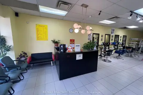
$79,900
80 Ellesmere Road 09
Wexford-Maryvale, Toronto
Sale Of Business · MLS® E13002600 · RE/MAX REALTRON REALTY INC.

$68,000
4905 Yonge Street 2nd Floor
Willowdale East, Toronto
Sale Of Business · MLS® C13591698 · SUPERSTARS REALTY LTD.

$68,000
4675 Steeles Avenue E 2A17&18
Milliken, Toronto
Commercial Retail · MLS® E12958966 · BEST UNION REALTY INC.
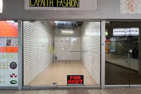
$68,000
4438 Sheppard Avenue E 157
Agincourt North, Toronto
Commercial Retail · MLS® E13465100 · CENTURY 21 PERCY FULTON LTD.
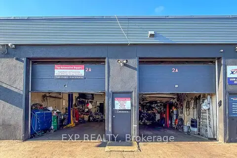
$68,000
Reduced $11,900
12 Lepage Court 2A
York University Heights, Toronto
Sale Of Business · MLS® W13043402 · EXP REALTY
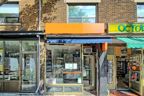
$68,000
Reduced $52,000
1 ba
67 Roncesvalles Avenue
Roncesvalles, Toronto
Sale Of Business · MLS® W13802742 · RE/MAX CROSSROADS REALTY INC.
$69,000
Reduced $30,000
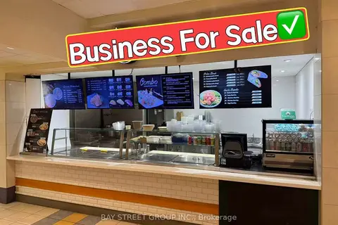
595 Bay Street FC-3
Bay Street Corridor, Toronto
Sale Of Business · MLS® C12372798 · BAY STREET GROUP INC.
$69,000
1 ba
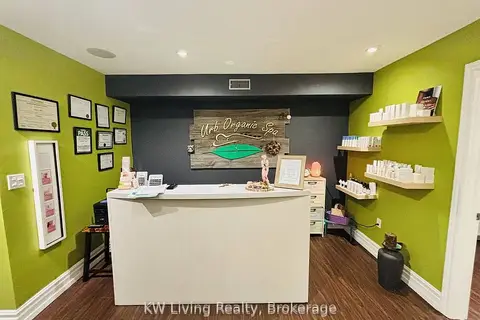
701 Mount Pleasant Road Second Floor
Mount Pleasant East, Toronto
Sale Of Business · MLS® C13445174 · KW Living Realty