94 Royview Crescent
Vellore Village, Vaughan, L4H 2T6
$7,400/mo
- 4+1 bedrooms
- 4 bathrooms
- 6 parking
- 2500-3000 sq ft
Listed 23 days ago · MLS® N13832512
About this home
Welcome to this spacious 4-bedroom, 4-bathroom offering over 3,700 sq. ft. of living space. The open-concept main floor is ideal for everyday living and entertaining. The finished walk-out basement includes a kitchen and bar, offering flexible space for family and guests. Outside, enjoy a large pie-shaped lot backing onto woodlands, with a fully fenced yard, interlocking patio, shed, and mature trees. Conveniently located near schools, shopping, dining, recreation, and major highways. Book your showing and discover your next home!
Details
- Type
- Detached
- Style
- 2-Storey
- Size
- 2500-3000 sq ft
- Basement
- Finished with Walk-Out
- Garage
- Attached
- Kitchens
- 1
- Neighbourhood
- Vellore Village
- Municipality
- Vaughan
- Rent increase limit
- Depends on when the unit was first lived in: before Nov. 15, 2018 it’s covered by Ontario’s yearly limit (2.1% in 2026); after, there’s no cap.
Interior
- Bedrooms
- 4 above ground + 1 below
- Bathrooms
- 1 × 2-piece (second), 1 × 4-piece (second), 1 × 4-piece (lower), 1 × 3-piece (ground)
- Rooms
- 9 above ground + 2 below
- Family room or den
- Yes
- Fireplace
- Yes
- Laundry
- Laundry Room
- Features
- Carpet Free
- Furnished
- Unfurnished
Heating, cooling and services
- Heating
- Forced Air, Gas
- Air conditioning
- Central Air
- Water and sewer
- Sewer
Building and exterior
- Style
- 2-Storey
- Exterior
- Stone, Stucco (Plaster)
- Roof
- Shingles
- Foundation
- Concrete
- Faces
- East
Parking
- Garage spaces
- 2
- Total parking
- 6
More
- Possession
- Immediate
- Cross street
- Rutherford/Weston
History of this address
5 earlier listings at this address, with sold and leased prices. Create a free account or sign in to see them.
Location
Location is approximate. See nearby homes on the map
The neighbourhood
Getting around Walkable
- 🚆 Rutherford GO4.2 km
Within a 10-minute walk: 1 grocery store, 12 cafés and restaurants, 10 parks, 1 pharmacy. Nearest grocery: FreshCo (900 m). Nearest park: Starling Park (400 m).
Schools nearby
Elementary
- Vellore Woods Public School
EQAO: Gr 6 reading 86%, math 46%5 min walk - St. Emily Catholic Elementary School Catholic
EQAO: Gr 6 reading 92%, math 48%12 min walk - St. Agnes of Assisi Catholic Elementary School Catholic
EQAO: Gr 6 reading 95%, math 67%18 min walk - Fossil Hill Public School
EQAO: Gr 6 reading 96%, math 73%18 min walk
Secondary
- St. Jean de Brebeuf Catholic High School Catholic
EQAO: Gr 9 math 57%, literacy test 85%12 min walk - Tommy Douglas Secondary School
EQAO: Gr 9 math 68%, literacy test 92%1.6 km - Maple High School
EQAO: Gr 9 math 73%, literacy test 93%1.7 km
EQAO: share of students meeting the provincial standard (2024–25). Ontario average: Gr 6 reading 86%, math 51%; Gr 9 math 55%; literacy test 83%.
Closest schools, not school zones. Check which school serves this address with the school board before relying on it.
Who lives here postal area L4H
- Owners / renters
- 92% / 8%
- Median household income
- $144,000
- Average age
- 37
- Children under 15
- 20%
- Homes
- 72% detached, 0% high-rise
- Commute by transit
- 4%
- Population
- 77,353
Languages spoken most at home besides English: Italian 2.6%, Mandarin 2.3%, Vietnamese 1.7%, Spanish 1.6%.
Flood and conservation Regulated area
This address is inside a conservation-authority regulated area (Toronto and Region Conservation Authority): near a valley, stream, shoreline or wetland, where flooding or erosion can occur. New building, additions, pools or grading usually need a permit from the authority.
Screening maps only. Ask the conservation authority for a property inquiry before relying on this.
Safety
Crime Severity Index for York Region police: 50 vs 57 for Ontario (2025).
Police-reported figures for the whole police service area, not this street. Rates use the area’s resident population.
Distances are approximate. Places © OpenStreetMap contributors. Neighbourhood figures: Statistics Canada, 2021 Census. School results: EQAO via Ontario Data Catalogue (Open Government Licence – Ontario). Flood and regulation mapping: Toronto and Region Conservation Authority open data. Crime Severity Index: Statistics Canada.
Living here
Commute
To Union Station (downtown Toronto): 25 km. Transit times · Driving times
Noise 1 source nearby
- 🛣️ Highway 400350 m
Distances from the map, not noise measurements. Visit at rush hour to judge for yourself.
Internet High-speed
50/10 Mbps or faster available here by cable, fibre or DSL (the federal high-speed target).
From the federal broadband map. Check exact speeds and providers for the address.
Roads, rail, airports and planned stations © OpenStreetMap contributors. Internet: Innovation, Science and Economic Development Canada, National Broadband Data.
Listed by RE/MAX EXPERTS.
Listing information provided by PropTx Innovations Inc. and TRREB; deemed reliable but not guaranteed accurate by PropTx.
Similar homes nearby
See more in Vaughan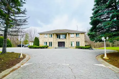
$7,800/mo
4 bd6 ba24 pk5000 + ft²
270 Greenbrooke Drive
Vellore Village, Vaughan
Detached · MLS® N12972318 · MANORLEAD GROUP INC.
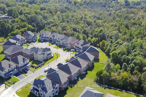
$6,800/mo
4 bd4 ba6 pk3500-5000 ft²
241 Stormont Trail
Vellore Village, Vaughan
Detached · MLS® N13743836 · REALTY ASSOCIATES INC.
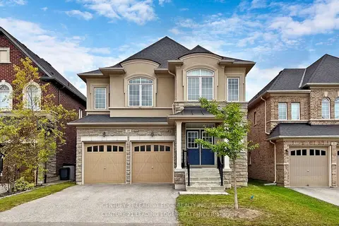
$5,990/mo
5 bd4 ba4 pk3000-3500 ft²
49 Gallant Place
Vellore Village, Vaughan
Detached · MLS® N13856790 · CENTURY 21 LEADING EDGE REALTY INC.
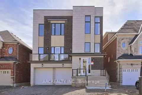
$7,199/mo
4+1 bd6 ba4 pk5000 + ft²
79 Baldry Avenue
Patterson, Vaughan
Detached · MLS® N14089828 · ARCREALTY INC.
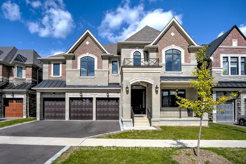
$7,799/mo
5 bd5 ba6 pk5000 + ft²
38 Ridgepoint Road
Kleinburg, Vaughan
Detached · MLS® N14087154 · RE/MAX HALLMARK REALTY LTD.
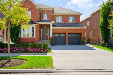
$7,000/mo
4+1 bd6 ba4 pk3000-3500 ft²
45 Woodgate Pines Drive
Kleinburg, Vaughan
Detached · MLS® N13881318 · SALERNO REALTY INC.
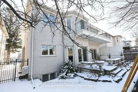 New
$6,900/mo
5+2 bd7 ba6 pk3500-5000 ft²
472 Spring Gate Boulevard
Crestwood-Springfarm-Yorkhill, Vaughan
Detached · MLS® N14097166 · EVERLAND REALTY INC.
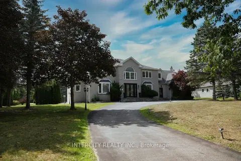
$7,950/mo
Reduced $550
4+1 bd6 ba10 pk3500-5000 ft²
70 Belsite Court
Kleinburg, Vaughan
Detached · MLS® N13707094 · INTERCITY REALTY INC.