939 Dainard Drive Lower Unit
Monaghan Ward 2, Peterborough, K9K 2A7
$2,000/mo
- 3 bedrooms
- 1 bathrooms
- 1 parking
- < 700 sq ft
Listed 14 days ago · MLS® X13868360
About this home
Bright and inviting lower-level rental unit featuring three bedrooms in Peterborough's desirable west end. The flexible layout offers the option to use one of the bedrooms as additional living space, a home office, or den. This well-maintained unit features in-unit laundry, spacious rooms, and a functional layout. One parking space included. Conveniently located close to public transit, Hwy 115, Fleming College, Seneca,parks, schools, and other amenities. Looking for tenants who will treat this space as their own.$2,000/month all-inclusive. No smoking or vaping. Rental application, credit check, employment letter,and references required.
Details
- Type
- Detached
- Style
- Bungalow-Raised
- Size
- < 700 sq ft
- Basement
- Full, Separate Entrance
- Garage
- None
- Kitchens
- 1
- Neighbourhood
- Monaghan Ward 2
- Municipality
- Peterborough
- Rent increase limit
- Depends on when the unit was first lived in: before Nov. 15, 2018 it’s covered by Ontario’s yearly limit (2.1% in 2026); after, there’s no cap.
Interior
- Bedrooms
- 3 above ground
- Bathrooms
- 1 × 4-piece (basement)
- Rooms
- 6 above ground
- Family room or den
- No
- Fireplace
- No
- Laundry
- In-Suite Laundry
- Features
- Storage
- Furnished
- Unfurnished
Heating, cooling and services
- Heating
- Forced Air, Gas
- Air conditioning
- Central Air
- Water and sewer
- Sewer
Building and exterior
- Style
- Bungalow-Raised
- Exterior
- Brick, Vinyl Siding
- Roof
- Asphalt Shingle
- Foundation
- Concrete, Poured Concrete
- Faces
- West
- Outdoor
- Lighting, Year Round Living
Parking
- Total parking
- 1
- Driveway and parking
- Tandem
Rental terms
- Rent includes
- All Inclusive
More
- Possession
- Immediate
- Nearby
- Public Transit, School, Park, School Bus Route
- Cross street
- Cherryhill Rd & Dainard Dr
Rooms
| Room | Level | Size | Features |
|---|---|---|---|
| Kitchen | Main | 3.76 × 2.94 m (12'4" × 9'8") | |
| Kitchen | Basement | 3.28 × 3.77 m (10'9" × 12'4") | |
| Living Room | Main | 3.39 × 3.77 m (11'1" × 12'4") | |
| Bedroom | Basement | 3.29 × 2.94 m (10'10" × 9'8") | |
| Dining Room | Main | 3.38 × 3.04 m (11'1" × 10') | |
| Bedroom 2 | Basement | 4 × 4.01 m (13'1" × 13'2") | |
| Primary Bedroom | Main | 3.79 × 2.94 m (12'5" × 9'8") | |
| Bedroom 3 | Basement | 4 × 2.7 m (13'1" × 8'10") | |
| Bedroom 2 | Main | 2.72 × 3.77 m (8'11" × 12'4") | |
| Utility Room | Basement | 3.55 × 2.94 m (11'8" × 9'8") | |
| Bathroom | Main | 2.01 × 2.7 m (6'7" × 8'10") | 4 Pc Bath |
| Bathroom | Basement | 2.73 × 1.6 m (8'11" × 5'3") | 4 Pc Bath |
Location
Location is approximate. See nearby homes on the map
The neighbourhood
Getting around Somewhat walkable
No subway, LRT or GO station within a short trip.
Within a 10-minute walk: 1 grocery store, 5 cafés and restaurants, 4 parks, 1 pharmacy. Nearest grocery: No Frills (300 m). Nearest park: Dainard Park (150 m).
Schools nearby
Elementary
- Kawartha Heights Public School
EQAO: Gr 6 reading 79%, math 23%11 min walk - James Strath Public School
EQAO: Gr 6 reading 85%, math 44%16 min walk - École catholique Monseigneur-Jamot French1.8 km
- St. Catherine Catholic Elementary School Catholic
EQAO: Gr 6 reading 92%, math 48%2.0 km
Secondary
- Crestwood Secondary School
EQAO: Gr 9 math 51%, literacy test 84%16 min walk - Holy Cross Catholic Secondary School Catholic
EQAO: Gr 9 math 50%, literacy test 71%1.6 km
EQAO: share of students meeting the provincial standard (2024–25). Ontario average: Gr 6 reading 86%, math 51%; Gr 9 math 55%; literacy test 83%.
Closest schools, not school zones. Check which school serves this address with the school board before relying on it.
Who lives here postal area K9K
- Owners / renters
- 82% / 18%
- Median household income
- $98,000
- Average age
- 46
- Children under 15
- 14%
- Homes
- 73% detached, 1% high-rise
- Commute by transit
- 3%
- Population
- 13,359
Languages spoken most at home besides English: Vietnamese 0.6%, Mandarin 0.5%, Gujarati 0.4%, Korean 0.3%.
Safety
Crime Severity Index for Peterborough police: 68 vs 57 for Ontario (2025).
Police-reported figures for the whole police service area, not this street. Rates use the area’s resident population.
Distances are approximate. Places © OpenStreetMap contributors. Neighbourhood figures: Statistics Canada, 2021 Census. School results: EQAO via Ontario Data Catalogue (Open Government Licence – Ontario). Crime Severity Index: Statistics Canada.
Living here
Commute
Noise Nothing major nearby
No highway within 500 m, rail line within 300 m, or airport flight path nearby.
Distances from the map, not noise measurements. Visit at rush hour to judge for yourself.
Internet High-speed
50/10 Mbps or faster available here by cable, fibre or DSL (the federal high-speed target).
From the federal broadband map. Check exact speeds and providers for the address.
Roads, rail, airports and planned stations © OpenStreetMap contributors. Internet: Innovation, Science and Economic Development Canada, National Broadband Data.
Listed by Royal LePage ProAlliance Realty.
Listing information provided by PropTx Innovations Inc. and TRREB; deemed reliable but not guaranteed accurate by PropTx.
Similar homes nearby
See more in Peterborough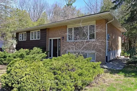
$2,175/mo
Reduced $125
3 bd1 ba1 pk700-1100 ft²
4 Wallis Drive Main Floor
Monaghan Ward 2, Peterborough
Detached · MLS® X13768834 · Exit Realty Liftlock
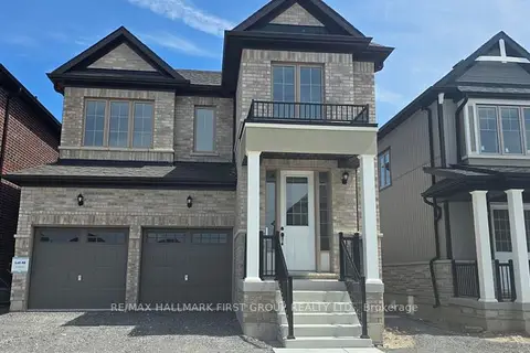
$1,650/mo
1 bd1 ba1 pk< 700 ft²
807 Griffin Trail Lower
Monaghan Ward 2, Peterborough
Lower Level · MLS® X13821624 · RE/MAX HALLMARK FIRST GROUP REALTY LTD.
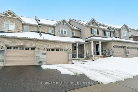
$2,400/mo
3 bd2 ba2 pk1500-2000 ft²
284 Louden Terrace Upper
Monaghan Ward 2, Peterborough
Att/Row/Townhouse · MLS® X13808806 · DORNAN REALTY INC.
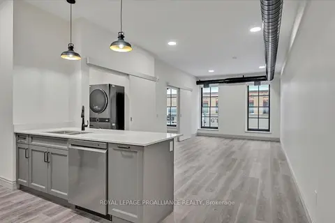
$2,000/mo
1 bd1 ba700-1100 ft²
380 George Street 1A
Town Ward 3, Peterborough
Other · MLS® X13867570 · Royal LePage ProAlliance Realty
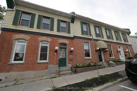
$1,995/mo
3 bd1 ba1 pk< 700 ft²
375A Queen Street
Town Ward 3, Peterborough
Multiplex · MLS® X13705698 · Century 21 United Realty Inc.
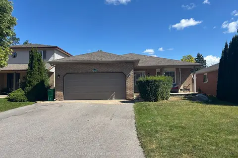
$1,950/mo
3 bd1 ba2 pk1100-1500 ft²
640 Pinewood Drive #Lower
Otonabee Ward 1, Peterborough
Lower Level · MLS® X13809348 · RE/MAX HALLMARK FIRST GROUP REALTY LTD.
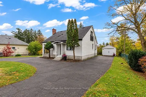
$1,950/mo
2 bd1 ba1 pk700-1100 ft²
513 Parkhill Road W B
Town Ward 3, Peterborough
Triplex · MLS® X14086462 · Royal LePage Our Neighbourhood Realty
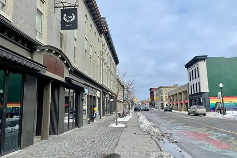
$2,100/mo
3 bd1 ba700-1100 ft²
172.5 Hunter Street W 4
Town Ward 3, Peterborough
Multiplex · MLS® X13464588 · Century 21 United Realty Inc.