938 Garrison Road
334 - Crescent Park, Fort Erie, L2A 1N7
$649,900
Listed today · MLS® X14101342
About this home
Position your business in the heart of Fort Erie's primary commercial corridor. Situated on a prominent corner lot with approximately 120 ft of frontage on Garrison Rd/Hwy 3 and 265 ft along Kraft Rd, this commercial development property offers excellent visibility and exposure along one of the community's busiest commercial routes. Surrounded by established businesses and conveniently located near major retailers, restaurants, professional services and everyday amenities, the property offers an excellent opportunity to build, expand or establish your business and brand in a highly visible location. The property's Core Mixed Use 3 (CMU3) zoning provides flexibility for a wide variety of potential commercial and residential uses, including but not limited to animal hospitals, bake shops, banks, retail stores, service shops, commercial schools, daycares, restaurants, motels, studios, supermarkets and residential dwellings. The zoning also provides potential for mixed-use development with commercial space and residential units above, offering additional possibilities for investors and developers.With its generous frontage, high-traffic exposure and versatile zoning, this property is well positioned for a range of future development opportunities. Convenient access to the QEW provides connections throughout the Niagara Region and toward Toronto, while the Peace Bridge to Buffalo and the U.S. border is just minutes away. A highly visible corner property with the location, zoning and exposure to bring your next commercial or mixed-use project to life.
Details
- Type
- Land
- Lot
- 120 × 264 ft
- Property tax
- $2,219 (2025)
- Neighbourhood
- 334 - Crescent Park
- Municipality
- Fort Erie
Heating, cooling and services
- Water and sewer
- Sanitary
- Utilities
- Available
Building and exterior
- Building area
- 1 Acres
More
- Possession
- Flexible
- Cross street
- Kraft Rd
Location
Location is approximate. See nearby homes on the map
Recent sales nearby
See what similar homes within 1 km sold for in the last year. Create a free account or sign in to see them.
The neighbourhood
Getting around Somewhat walkable
No subway, LRT or GO station within a short trip.
Within a 10-minute walk: 2 grocery stores, 2 cafés and restaurants, 0 parks, 2 pharmacies. Nearest grocery: Walmart Supercentre (500 m).
Schools nearby
Elementary
- Garrison Road Public School
EQAO: Gr 6 reading 89%, math 77%9 min walk - St. Philomena Catholic Elementary School Catholic
EQAO: Gr 6 reading 95%, math 56%1.5 km - Peace Bridge Public School
EQAO: Gr 6 reading 92%, math 92%2.3 km
Secondary
- Greater Fort Erie Secondary School
EQAO: Gr 9 math 52%, literacy test 86%2.1 km
EQAO: share of students meeting the provincial standard (2024–25). Ontario average: Gr 6 reading 86%, math 51%; Gr 9 math 55%; literacy test 83%.
Closest schools, not school zones. Check which school serves this address with the school board before relying on it.
Who lives here postal area L2A
- Owners / renters
- 74% / 26%
- Median household income
- $72,500
- Average age
- 46
- Children under 15
- 14%
- Homes
- 77% detached, 4% high-rise
- Commute by transit
- 0%
- Population
- 17,293
Languages spoken most at home besides English: Spanish 1.3%, Italian 0.3%, Yue (Cantonese) 0.3%, Polish 0.3%.
Flood and conservation No mapped hazard
Not inside a mapped flood plain or regulated area in Niagara Peninsula Conservation’s mapping.
Screening maps only. Ask the conservation authority for a property inquiry before relying on this.
Safety
Crime Severity Index for Niagara Region (St. Catharines) police: 54 vs 57 for Ontario (2025).
Police-reported figures for the whole police service area, not this street. Rates use the area’s resident population.
Distances are approximate. Places © OpenStreetMap contributors. Neighbourhood figures: Statistics Canada, 2021 Census. School results: EQAO via Ontario Data Catalogue (Open Government Licence – Ontario). Flood and regulation mapping: Niagara Peninsula Conservation open data. Crime Severity Index: Statistics Canada.
Living here
Commute
To Union Station (downtown Toronto): 89 km. Transit times · Driving times
Noise Nothing major nearby
No highway within 500 m, rail line within 300 m, or airport flight path nearby.
Distances from the map, not noise measurements. Visit at rush hour to judge for yourself.
Internet High-speed
50/10 Mbps or faster available here by cable, fibre or DSL (the federal high-speed target).
From the federal broadband map. Check exact speeds and providers for the address.
Roads, rail, airports and planned stations © OpenStreetMap contributors. Internet: Innovation, Science and Economic Development Canada, National Broadband Data.
Listed by RE/MAX NIAGARA REALTY LTD, BROKERAGE.
Listing information provided by PropTx Innovations Inc. and TRREB; deemed reliable but not guaranteed accurate by PropTx.
Similar homes nearby
See more in Fort Erie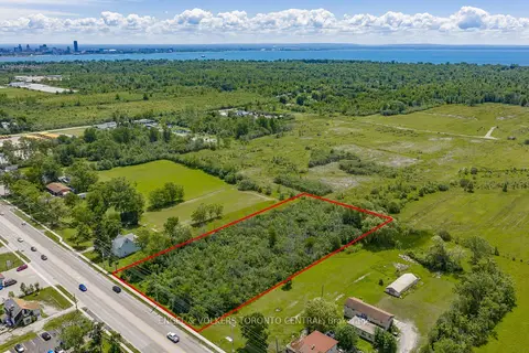
$720,000
1185 Garrison Road
334 - Crescent Park, Fort Erie
Land · MLS® X13496078 · ENGEL & VOLKERS TORONTO CENTRAL
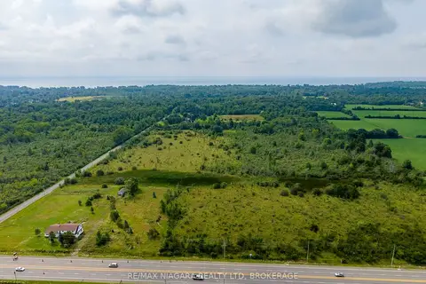
$749,900
N/A Garrison Road
334 - Crescent Park, Fort Erie
Land · MLS® X13659250 · RE/MAX NIAGARA REALTY LTD, BROKERAGE
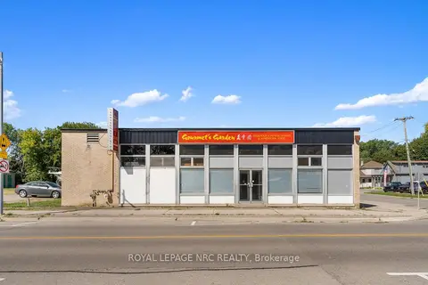
$650,000
155 Niagara Boulevard
332 - Central, Fort Erie
Commercial Retail · MLS® X12376129 · ROYAL LEPAGE NRC REALTY
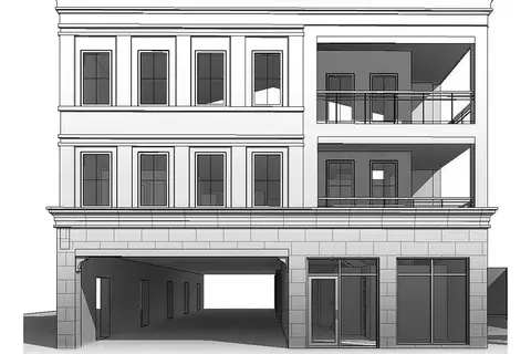
$644,900
Reduced $5,000
430 Ridge Road N
335 - Ridgeway, Fort Erie
Investment · MLS® X13655398 · RE/MAX NIAGARA REALTY LTD, BROKERAGE
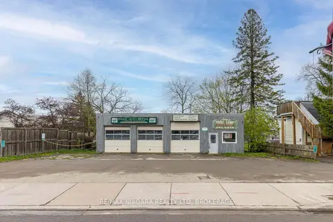
$674,999
Reduced $55,000
2 ba
124 Ridge Road N
335 - Ridgeway, Fort Erie
Commercial Retail · MLS® X13096086 · RE/MAX NIAGARA REALTY LTD, BROKERAGE
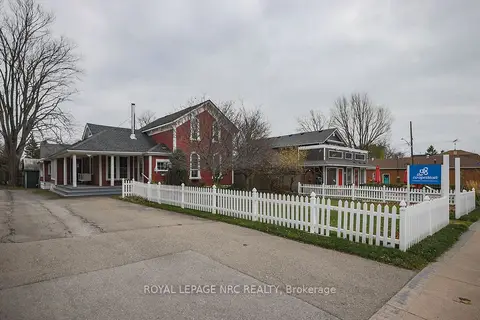
$600,000
Reduced $400,000
1 ba
264 Ridge Road N
335 - Ridgeway, Fort Erie
Office · MLS® X12667842 · ROYAL LEPAGE NRC REALTY
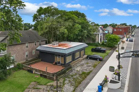
$599,900
2 ba
607 Niagara Boulevard
332 - Central, Fort Erie
Commercial Retail · MLS® X13620880 · RE/MAX NIAGARA REALTY LTD, BROKERAGE
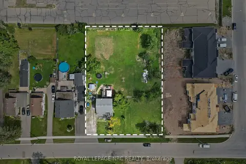
$699,900
Reduced $50,000
1010 Arthur Street
333 - Lakeshore, Fort Erie
Investment · MLS® X13691796 · ROYAL LEPAGE NRC REALTY