264 Ridge Road N
335 - Ridgeway, Fort Erie, L0S 1N0
$600,000
Reduced $400,000 from $1,000,000
- 1 bathrooms
Listed 287 days ago · MLS® X12667842
About this home
*Vendor Take Back financing available* Discover a versatile commercial property at 264 Ridge Rd N in Ridgeway, Fort Erie, offering a prime opportunity for businesses looking to establish or expand in a thriving community. This building has a rich history as an established retail store and is currently leased, presenting flexible options for retail, office, or service use. Zoned CMU4 according to Ridgeway bylaws, it allows for a variety of commercial activities including retail shops, offices, personal services, cafes, and small restaurants, making it adaptable to different business needs. Located on Ridge Rd N, one of the main arteries in Ridgeway, the property benefits from high visibility and excellent accessibility. The area has experienced ongoing development with new commercial ventures, boutique shops, and community-focused businesses, reflecting a growing and dynamic local economy. This makes it an ideal location for entrepreneurs and investors seeking to capitalize on Ridgeways expanding commercial landscape. Whether for lease or sale, 264 Ridge Rd N presents a strategic opportunity to be part of Ridgeways vibrant business community.
Details
- Type
- Office
- Age
- 100+ years
- Lot
- 50 × 165 ft
- Garage
- Single Detached
- Property tax
- $8,707 (2025)
- Neighbourhood
- 335 - Ridgeway
- Municipality
- Fort Erie
Interior
- Bathrooms
- 1 × bathroom
Heating, cooling and services
- Heating
- Gas Forced Air Open
- Air conditioning
- Yes
- Water and sewer
- Sanitary
- Utilities
- Yes
Building and exterior
- Age
- 100+
- Building area
- 1,700 Square Feet
More
- Possession
- IMMEDIATE POSSESSION AVAILABLE
- Cross street
- Ridge Rd N and DIsher
History of this address
2 earlier listings at this address, with sold and leased prices. Create a free account or sign in to see them.
Location
Location is approximate. See nearby homes on the map
Recent sales nearby
See what similar homes within 1 km sold for in the last year. Create a free account or sign in to see them.
The neighbourhood
Getting around Car-dependent
No subway, LRT or GO station within a short trip.
Within a 10-minute walk: 1 grocery store, 3 cafés and restaurants, 0 parks. Nearest grocery: Joe’s Independent Grocer (650 m).
Schools nearby
Elementary
- John Brant Public School
EQAO: Gr 6 reading 95%, math 69%6 min walk - St. George Catholic Elementary School Catholic
EQAO: Gr 6 reading 100%, math 91%15 min walk
EQAO: share of students meeting the provincial standard (2024–25). Ontario average: Gr 6 reading 86%, math 51%; Gr 9 math 55%; literacy test 83%.
Closest schools, not school zones. Check which school serves this address with the school board before relying on it.
Who lives here postal area L0S
- Owners / renters
- 87% / 13%
- Median household income
- $95,000
- Average age
- 48
- Children under 15
- 13%
- Homes
- 83% detached, 1% high-rise
- Commute by transit
- 0%
- Population
- 60,409
Languages spoken most at home besides English: Spanish 0.4%, Mandarin 0.4%, German 0.4%, Polish 0.2%.
Flood and conservation No mapped hazard
Not inside a mapped flood plain or regulated area in Niagara Peninsula Conservation’s mapping.
Screening maps only. Ask the conservation authority for a property inquiry before relying on this.
Safety
Crime Severity Index for Niagara Region (St. Catharines) police: 54 vs 57 for Ontario (2025).
Police-reported figures for the whole police service area, not this street. Rates use the area’s resident population.
Distances are approximate. Places © OpenStreetMap contributors. Neighbourhood figures: Statistics Canada, 2021 Census. School results: EQAO via Ontario Data Catalogue (Open Government Licence – Ontario). Flood and regulation mapping: Niagara Peninsula Conservation open data. Crime Severity Index: Statistics Canada.
Living here
Commute
To Union Station (downtown Toronto): 89 km. Transit times · Driving times
Noise Nothing major nearby
No highway within 500 m, rail line within 300 m, or airport flight path nearby.
Distances from the map, not noise measurements. Visit at rush hour to judge for yourself.
Internet High-speed
50/10 Mbps or faster available here by cable, fibre or DSL (the federal high-speed target).
From the federal broadband map. Check exact speeds and providers for the address.
Roads, rail, airports and planned stations © OpenStreetMap contributors. Internet: Innovation, Science and Economic Development Canada, National Broadband Data.
Listed by ROYAL LEPAGE NRC REALTY.
Listing information provided by PropTx Innovations Inc. and TRREB; deemed reliable but not guaranteed accurate by PropTx.
Similar homes nearby
See more in Fort Erie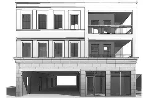
$644,900
Reduced $5,000
430 Ridge Road N
335 - Ridgeway, Fort Erie
Investment · MLS® X13655398 · RE/MAX NIAGARA REALTY LTD, BROKERAGE
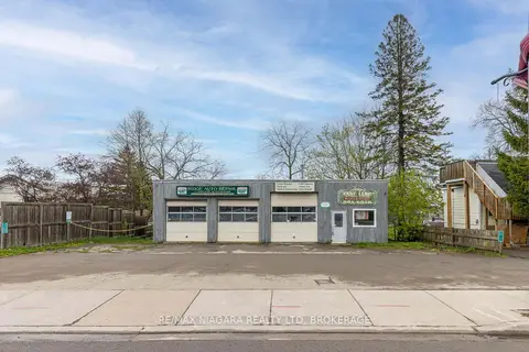
$674,999
Reduced $55,000
2 ba
124 Ridge Road N
335 - Ridgeway, Fort Erie
Commercial Retail · MLS® X13096086 · RE/MAX NIAGARA REALTY LTD, BROKERAGE
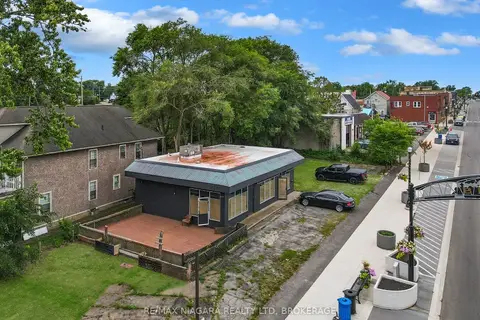
$599,900
2 ba
607 Niagara Boulevard
332 - Central, Fort Erie
Commercial Retail · MLS® X13620880 · RE/MAX NIAGARA REALTY LTD, BROKERAGE
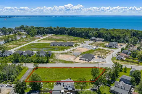
$595,000
650 Dominion Road
333 - Lakeshore, Fort Erie
Land · MLS® X13496220 · ENGEL & VOLKERS TORONTO CENTRAL
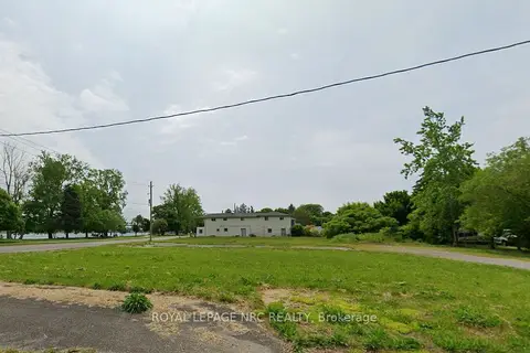
$585,000
229 Niagara Boulevard
332 - Central, Fort Erie
Land · MLS® X13096202 · ROYAL LEPAGE NRC REALTY
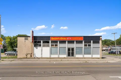
$650,000
155 Niagara Boulevard
332 - Central, Fort Erie
Commercial Retail · MLS® X12376129 · ROYAL LEPAGE NRC REALTY
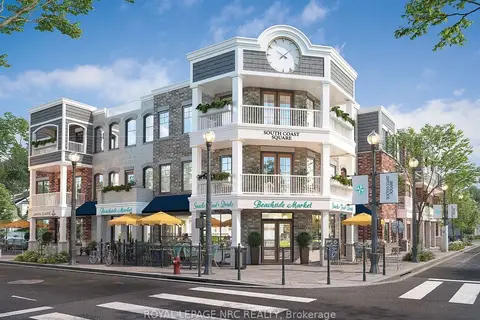
$549,999
412 Ridgeway Road A
337 - Crystal Beach, Fort Erie
Office · MLS® X13561768 · ROYAL LEPAGE NRC REALTY
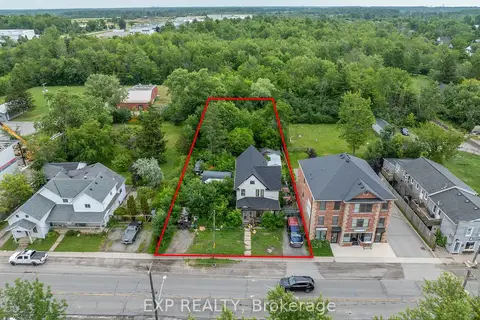
$525,000
Reduced $74,000
2632 Stevensville Road
328 - Stevensville, Fort Erie
Land · MLS® X13538890 · EXP REALTY