91 Rylander Boulevard
Rouge E11, Toronto, M1B 5M5
$349,000
Listed 47 days ago · MLS® E13743028
About this home
Great opportunity to own a dual franchise under one roof featuring Gino's Pizza and Wing Machine. Strong and steady sales with multiple income streams. Located near Kingston Rd & Rylander Blvd, just minutes from Hwy 401.Key Details: Rent (TMI + HST): $2,532.33 (very low rent big advantage) Lease: Until May 2029 Renewal: 5+ 5 option Size: 909 sq. ft. Income Streams: School Orders: Approx. $700-$750 per week (working to add Lunchbox) Corporate Orders: Approx. $1,000-$1,200 per month (including Enbridge and Toyota dealership) Highlights: Very clean store All equipment and chattels in excellent condition Full equipment list available Lease available for review Low rent + strong sales excellent business opportunity.
Details
- Type
- Sale Of Business
- Garage
- Plaza
- Neighbourhood
- Rouge E11
- Municipality
- Toronto E11
Heating, cooling and services
- Heating
- Electric Forced Air
- Air conditioning
- Yes
- Water and sewer
- Sanitary+Storm Available
Building and exterior
- Building area
- 909 Square Feet
More
- Possession
- Immediate
- Cross street
- Rylander Blvd and Carlisle Crescent
- Business type
- Pizzeria
Location
Location is approximate. See nearby homes on the map
Recent sales nearby
See what similar homes within 1 km sold for in the last year. Create a free account or sign in to see them.
The neighbourhood
Getting around Somewhat walkable
- 🚆 Rouge Hill GO2.6 km
Within a 10-minute walk: 1 grocery store, 6 cafés and restaurants, 4 parks, 2 pharmacies. Nearest grocery: No Frills (950 m). Nearest park: Tall Pines Park (150 m).
Schools nearby
Elementary
- Rouge Valley Public School
EQAO: Gr 6 reading 88%, math 60%3 min walk - St. Dominic Savio Catholic School Catholic
EQAO: Gr 6 reading 80%, math 41%5 min walk - Meadowvale Public School
EQAO: Gr 6 reading 100%, math 52%15 min walk - Chief Dan George Public School
EQAO: Gr 6 reading 86%, math 45%17 min walk
Secondary
- Joseph Howe Senior Public School1.9 km
EQAO: share of students meeting the provincial standard (2024–25). Ontario average: Gr 6 reading 86%, math 51%; Gr 9 math 55%; literacy test 83%.
Closest schools, not school zones. Check which school serves this address with the school board before relying on it.
Who lives here postal area M1B
- Owners / renters
- 72% / 28%
- Median household income
- $91,000
- Average age
- 41
- Children under 15
- 15%
- Homes
- 30% detached, 22% high-rise
- Commute by transit
- 23%
- Population
- 65,555
Languages spoken most at home besides English: Tamil 9.5%, Tagalog (Pilipino, Filipino) 3.7%, Urdu 2.7%, Yue (Cantonese) 2.4%.
Flood and conservation No mapped hazard
Not inside a mapped flood plain or regulated area.
Screening maps only. Ask the conservation authority for a property inquiry before relying on this.
Safety
Major crime per resident in West Rouge (2025): 33% below the Toronto average, down 7% from the year before.
- Assault64% below average
- Break and enter60% below average
- Auto theft98% above average
- Robbery44% below average
- Theft from vehiclesabout average
- Shootings46% below average
Crime Severity Index for Toronto police: 60 vs 57 for Ontario (2025).
Police-reported figures for the whole neighbourhood, not this street. Rates use the area’s resident population.
Development nearby 1 active
-
6780 KINGSTON RD · 450 mSite Plan · Under Review · applied 2025Site plan application for the expansion of the existing convenience store building by approximately 44 m2, and minor changes to the existing parking area.Application details
Rezoning, site plan, subdivision and condominium applications filed with the city.
Distances are approximate. Places © OpenStreetMap contributors. Neighbourhood figures: Statistics Canada, 2021 Census. School results: EQAO via Ontario Data Catalogue (Open Government Licence – Ontario). Neighbourhood crime: Toronto Police Service Public Safety Data Portal (Open Government Licence – Toronto Police Service). Crime Severity Index: Statistics Canada. Planning applications: City of Toronto open data.
Living here
Commute
To Union Station (downtown Toronto): 25 km. Transit times · Driving times
Noise 1 source nearby
- 🛣️ Highway 401200 m
Distances from the map, not noise measurements. Visit at rush hour to judge for yourself.
What can be built CR
Commercial Residential (with a site-specific exception).
From Toronto’s Zoning By-law 569-2013 map. Lot size, setbacks and trees decide what actually fits; check with a planner before you buy.
Building permits
- Interior Alterations · 2026 · InspectionProposal for interior alterations, fitout for new restaurant.
- Interior Alterations · 2025 · Permit IssuedProposed Interior Alterations to a new takeout Restaurant with new kitchen, cash counter and storeage room.
- Multiple Projects · 2025 · CancelledProposal for structural support for future rooftop heat/cool unit and change the use from retail to restaurant
- Interior Alterations · 2024 · ClosedPROPOSED INTERIOR ALTERATIONS FOR NEW TENANT. NEW DRYWALL, HVAC AND PLUMBING MODIFICATIONS
- Interior Alterations · 2024 · CancelledProposal for interior alterations for new tenant with new drywall, HVAC and plumbing modifications.
3 permits on this block of the street in the last 2 years.
Permits filed with the City of Toronto. A permit doesn’t mean the work passed final inspection.
Trees
29 City street trees within 100 m, mostly maples. That’s fewer than the Toronto average of 42.
Trees on City boulevards only, not private yards or parks.
Internet High-speed
50/10 Mbps or faster available here by cable, fibre or DSL (the federal high-speed target).
From the federal broadband map. Check exact speeds and providers for the address.
Zoning, heritage, building permits and street trees: City of Toronto open data (Open Government Licence – Toronto). Roads, rail, airports and planned stations © OpenStreetMap contributors. Internet: Innovation, Science and Economic Development Canada, National Broadband Data.
Listed by HOMELIFE/MIRACLE REALTY LTD.
Listing information provided by PropTx Innovations Inc. and TRREB; deemed reliable but not guaranteed accurate by PropTx.
Similar homes nearby
See more in Toronto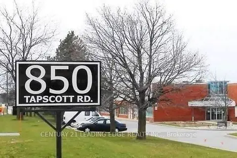
$360,000
850 Tapscott Road 17
Rouge E11, Toronto
Commercial Retail · MLS® E13816484 · CENTURY 21 LEADING EDGE REALTY INC.
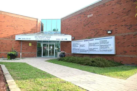
$385,000
1 ba
850 Tapscott Road 18
Rouge E11, Toronto
Industrial · MLS® E13671606 · REMAX CONNECT REALTY
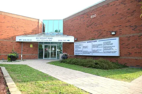
$385,000
1 ba
850 Tapscott Road 18
Rouge E11, Toronto
Office · MLS® E13671676 · REMAX CONNECT REALTY
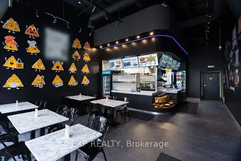
$399,000
3155 Markham Road 2
Rouge E11, Toronto
Sale Of Business · MLS® E13813578 · EXP REALTY
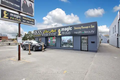
$349,000
Reduced $120,000
6166 Yonge Street
Newtonbrook West, Toronto
Sale Of Business · MLS® C13061230 · HOMELIFE/BAYVIEW REALTY INC.
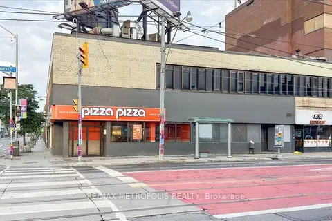
$349,000
558 BLOOR ST Street
Annex, Toronto
Sale Of Business · MLS® C13708304 · RE/MAX METROPOLIS REALTY
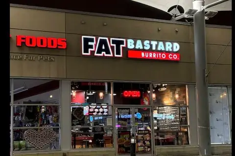
$349,000
808 York Mills Road 7
St. Andrew-Windfields, Toronto
Sale Of Business · MLS® C13876146 · HOMELIFE/MIRACLE REALTY LTD
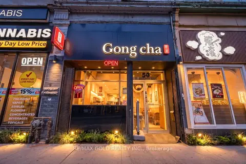
$349,000
567 Yonge Street
Church-Yonge Corridor, Toronto
Sale Of Business · MLS® C13876968 · RE/MAX GOLD REALTY INC.