850 Tapscott Road 18
Rouge E11, Toronto, M1X 1N4
$385,000
- 1 bathrooms
Listed 67 days ago · MLS® E13671606
About this home
A Highly Functional, Industrial Commercial Condo Space Featuring High Ceilings, A Newly Renovated Kitchenette, 2-Piece Bathroom, And Compartmentalized Office And Storage Space. Zoning Permits A Variety Of Professional, Retail, Industrial, And Service Related Uses. Generous Clearance Height Can Facilitate A Second Floor Mezzanine For Additional Usable Space. Property Is Situated Inside The Tapscott Business Mall - A Well Established, Highly Sought After Business Node.
Details
- Type
- Industrial
- Garage
- Outside/Surface
- Property tax
- $1,818 (2025)
- Neighbourhood
- Rouge E11
- Municipality
- Toronto E11
Interior
- Bathrooms
- 1 × bathroom
Heating, cooling and services
- Heating
- Gas Forced Air Open
- Air conditioning
- Yes
- Water and sewer
- Sanitary+Storm
- Utilities
- Available
Building and exterior
- Building area
- 806 Square Feet
More
- Possession
- Flexible
- Cross street
- Markham Rd/McNicoll
History of this address
1 earlier listing at this address, with sold and leased prices. Create a free account or sign in to see them.
Location
Location is approximate. See nearby homes on the map
Recent sales nearby
See what similar homes within 1 km sold for in the last year. Create a free account or sign in to see them.
The neighbourhood
Getting around Car-dependent
- 🚆 Milliken GO4.9 km
Within a 10-minute walk: no grocery stores, 2 cafés and restaurants, 2 parks. Nearest park: Hummingbird Park (950 m).
Schools nearby
Elementary
- Blessed Pier Giorgio Frassati Catholic School Catholic
EQAO: Gr 6 reading 96%, math 54%1.2 km - Brookside Public School
EQAO: Gr 6 reading 89%, math 55%1.2 km - Thomas L Wells Public School
EQAO: Gr 6 reading 91%, math 74%1.2 km - Tom Longboat Junior Public School
EQAO: Gr 6 reading 97%, math 52%1.4 km
Secondary
- Lester B. Pearson Collegiate Institute
EQAO: Gr 9 math 47%, literacy test 84%2.2 km
EQAO: share of students meeting the provincial standard (2024–25). Ontario average: Gr 6 reading 86%, math 51%; Gr 9 math 55%; literacy test 83%.
Closest schools, not school zones. Check which school serves this address with the school board before relying on it.
Who lives here postal area M1X
- Owners / renters
- 88% / 12%
- Median household income
- $122,000
- Average age
- 39
- Children under 15
- 16%
- Homes
- 71% detached
- Commute by transit
- 12%
- Population
- 14,810
Languages spoken most at home besides English: Tamil 24.2%, Gujarati 2.7%, Tagalog (Pilipino, Filipino) 2.2%, Yue (Cantonese) 1.5%.
Flood and conservation No mapped hazard
Not inside a mapped flood plain or regulated area.
Screening maps only. Ask the conservation authority for a property inquiry before relying on this.
Safety
Major crime per resident in Morningside Heights (2025): about the Toronto average, about the same from the year before.
- Assault37% below average
- Break and enter21% below average
- Auto theft61% above average
- Robbery76% above average
- Theft from vehiclesabout average
- Shootings129% above average
Crime Severity Index for Toronto police: 60 vs 57 for Ontario (2025).
Police-reported figures for the whole neighbourhood, not this street. Rates use the area’s resident population.
Development nearby 1 active
-
20 PULLMAN CRT · 150 mSite Plan · Under Review · applied 2026The proposed development consists of a three¿storey expansion to the existing data centre building,with a Gross Floor Area (GFA) of approximately 7,076.26…Application details
Rezoning, site plan, subdivision and condominium applications filed with the city.
Distances are approximate. Places © OpenStreetMap contributors. Neighbourhood figures: Statistics Canada, 2021 Census. School results: EQAO via Ontario Data Catalogue (Open Government Licence – Ontario). Neighbourhood crime: Toronto Police Service Public Safety Data Portal (Open Government Licence – Toronto Police Service). Crime Severity Index: Statistics Canada. Planning applications: City of Toronto open data.
Living here
Commute
To Union Station (downtown Toronto): 22 km. Transit times · Driving times
Noise 1 source nearby
- 🚆 Rail line (Canadian Pacific Kansas City)50 m
Distances from the map, not noise measurements. Visit at rush hour to judge for yourself.
What can be built E
Employment Industrial (with a site-specific exception).
From Toronto’s Zoning By-law 569-2013 map. Lot size, setbacks and trees decide what actually fits; check with a planner before you buy.
Building permits
- Interior Alterations · 2026 · ClosedProposal for interior alterations to change use from window covering business to analytical testing laboratory.
- Interior Alterations · 2018 · ClosedProposed interior alterations for catering, existing washroom to remain.
Permits filed with the City of Toronto. A permit doesn’t mean the work passed final inspection.
Trees
14 City street trees within 100 m. That’s fewer than the Toronto average of 42.
Trees on City boulevards only, not private yards or parks.
Internet High-speed
50/10 Mbps or faster available here by cable, fibre or DSL (the federal high-speed target).
From the federal broadband map. Check exact speeds and providers for the address.
Zoning, heritage, building permits and street trees: City of Toronto open data (Open Government Licence – Toronto). Roads, rail, airports and planned stations © OpenStreetMap contributors. Internet: Innovation, Science and Economic Development Canada, National Broadband Data.
Listed by REMAX CONNECT REALTY.
Listing information provided by PropTx Innovations Inc. and TRREB; deemed reliable but not guaranteed accurate by PropTx.
Similar homes nearby
See more in Toronto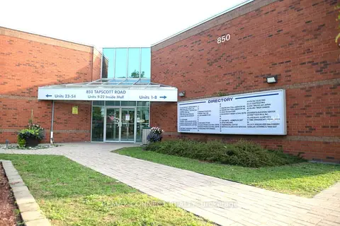
$385,000
1 ba
850 Tapscott Road 18
Rouge E11, Toronto
Office · MLS® E13671676 · REMAX CONNECT REALTY
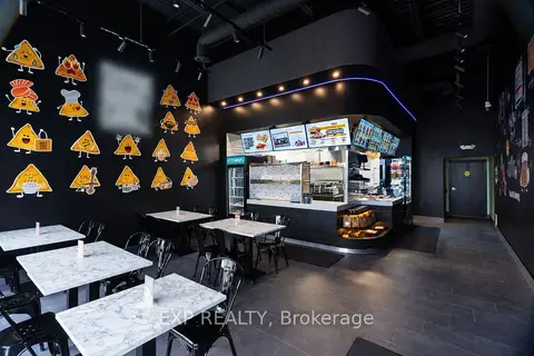
$399,000
3155 Markham Road 2
Rouge E11, Toronto
Sale Of Business · MLS® E13813578 · EXP REALTY
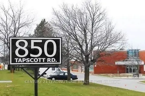
$360,000
850 Tapscott Road 17
Rouge E11, Toronto
Commercial Retail · MLS® E13816484 · CENTURY 21 LEADING EDGE REALTY INC.
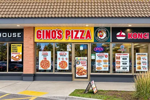
$349,000
91 Rylander Boulevard
Rouge E11, Toronto
Sale Of Business · MLS® E13743028 · HOMELIFE/MIRACLE REALTY LTD
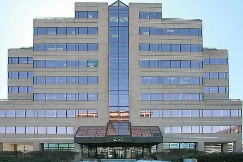
$385,000
255 Duncan Mill Road 301
St. Andrew-Windfields, Toronto
Office · MLS® C13780398 · CENTURY 21 LEADING EDGE REALTY INC.
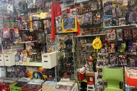
$388,000
8 Westmore Drive
West Humber-Clairville, Toronto
Sale Of Business · MLS® W12705896 · HOMELIFE KINGSVIEW REAL ESTATE INC.
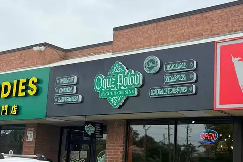
$388,800
4186 Finch Avenue E 28
Milliken, Toronto
Sale Of Business · MLS® E13847230 · SMART SOLD REALTY
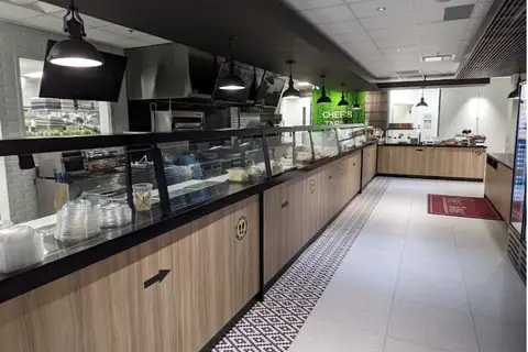
$390,000
789 Don Mills Road B01
Flemingdon Park, Toronto
Sale Of Business · MLS® C13805162 · LOCATION REALTY LTD.