90 Trethewey Drive
Beechborough-Greenbrook, Toronto, M6M 4B4
$1,499,900
Listed 118 days ago · MLS® W13483810
About this home
Purpose-Built Multiplex - Six Spacious Units! One unit will be vacant on closing. Well-maintained detached building near Eglinton &Black Creek, offering 5 large two-bedroom suites plus 1 bachelor. Conveniently located with easy access to Hwy 401 & 400, TTC service on Trethewey with a direct bus to the new Eglinton Crosstown Subway, and within walking distance to local schools. Building Highlights: Roof(2018), Furnace (2009), Boiler (2009) Garage doors (2017) All units converted from fuses to breakers (2019). No knob & tube wiring. Approx. 6,888 sq. ft. (per attached floor plans, including basement) 5-car garage. Income: Estimted Gross annual rent of $105,000 (Approx., as per Seller). Important Notes: Existing tenants to be assumed. One unit will be vacant on closing, Vacant possession of tenant units will not be provided. Photos are from a previous listing; current floor plans attached. AGENTS -FINANCIALS AND FLOORPLANS ARE ON THE ATTACHMENT
Details
- Type
- Investment
- Age
- 51-99 years
- Lot
- 70.96 × 121.16 ft
- Garage
- Double Detached
- Property tax
- $8,152 (2025)
- Neighbourhood
- Beechborough-Greenbrook
- Municipality
- Toronto W04
Heating, cooling and services
- Heating
- Water Radiators
- Water and sewer
- Sanitary+Storm
- Utilities
- Yes
Building and exterior
- Age
- 51-99 years
- Building area
- 8,590 Square Feet
More
- Possession
- TBA
- Cross street
- Trethewey Dr And Eglinton Ave W
- Business type
- Apts - 6 To 12 Units
History of this address
7 earlier listings at this address, with sold and leased prices. Create a free account or sign in to see them.
Location
Location is approximate. See nearby homes on the map
Recent sales nearby
See what similar homes within 1 km sold for in the last year. Create a free account or sign in to see them.
The neighbourhood
Getting around Very walkable
- 🚇 Keelesdale LRT10 min walk
- 🚇 Mount Dennis LRT11 min walk
- 🚆 Mount Dennis GO13 min walk
Within a 10-minute walk: 4 grocery stores, 14 cafés and restaurants, 7 parks, 2 pharmacies. Nearest grocery: ZEMA100 Supermarket (700 m). Nearest park: Green Hills Park (250 m).
Schools nearby
Elementary
- Charles E Webster Public School
EQAO: Gr 6 reading 69%, math 19%7 min walk - Immaculate Conception Catholic School Catholic
EQAO: Gr 6 reading 64%, math 21%9 min walk - Keelesdale Junior Public School
EQAO: Gr 6 reading 80%, math 10%13 min walk - Dennis Avenue Community School
EQAO: Gr 6 reading 88%, math 24%18 min walk
Secondary
- York Memorial Collegiate Institute
EQAO: Gr 9 math 35%, literacy test 65%7 min walk - George Harvey Collegiate Institute18 min walk
- St. Oscar Romero Catholic Secondary School Catholic
EQAO: Gr 9 math 44%, literacy test 78%1.4 km
EQAO: share of students meeting the provincial standard (2024–25). Ontario average: Gr 6 reading 86%, math 51%; Gr 9 math 55%; literacy test 83%.
Closest schools, not school zones. Check which school serves this address with the school board before relying on it.
Who lives here postal area M6M
- Owners / renters
- 46% / 54%
- Median household income
- $71,500
- Average age
- 41
- Children under 15
- 16%
- Homes
- 28% detached, 39% high-rise
- Commute by transit
- 30%
- Population
- 42,148
Languages spoken most at home besides English: Portuguese 7.9%, Spanish 4.8%, Vietnamese 2.8%, Tagalog (Pilipino, Filipino) 2.4%.
Flood and conservation No mapped hazard
Not inside a mapped flood plain or regulated area.
Screening maps only. Ask the conservation authority for a property inquiry before relying on this.
Safety
Major crime per resident in Beechborough-Greenbrook (2025): about the Toronto average, down 37% from the year before.
- Assaultabout average
- Break and enter41% below average
- Auto theftabout average
- Robbery89% above average
- Theft from vehicles30% below average
- Shootings52% above average
Crime Severity Index for Toronto police: 60 vs 57 for Ontario (2025).
Police-reported figures for the whole neighbourhood, not this street. Rates use the area’s resident population.
Development nearby 1 active
-
96 TRETHEWEY DR · 50 mSite Plan · Under Review · applied 2016INACTIVE Proposed addition of a 4th floor above existing 3-storey apartment building. 5 new rental units are proposed for a total of 16.Application details
Rezoning, site plan, subdivision and condominium applications filed with the city.
Distances are approximate. Places © OpenStreetMap contributors. Neighbourhood figures: Statistics Canada, 2021 Census. School results: EQAO via Ontario Data Catalogue (Open Government Licence – Ontario). Neighbourhood crime: Toronto Police Service Public Safety Data Portal (Open Government Licence – Toronto Police Service). Crime Severity Index: Statistics Canada. Planning applications: City of Toronto open data.
Living here
Commute
To Union Station (downtown Toronto): 10 km. Transit times · Driving times
Noise Nothing major nearby
No highway within 500 m, rail line within 300 m, or airport flight path nearby.
Distances from the map, not noise measurements. Visit at rush hour to judge for yourself.
What can be built RM
Residential Multiple Dwelling (with a site-specific exception).
- ✅ Up to 4 homes on the lot (multiplex)
- ✅ Garden suite in the backyard
- ✅ Laneway suite, if the lot backs onto a lane
From Toronto’s Zoning By-law 569-2013 map. Lot size, setbacks and trees decide what actually fits; check with a planner before you buy.
Trees
41 City street trees within 100 m. That’s about the Toronto average of 42.
Trees on City boulevards only, not private yards or parks.
Internet High-speed
50/10 Mbps or faster available here by cable, fibre or DSL (the federal high-speed target).
From the federal broadband map. Check exact speeds and providers for the address.
Zoning, heritage, building permits and street trees: City of Toronto open data (Open Government Licence – Toronto). Roads, rail, airports and planned stations © OpenStreetMap contributors. Internet: Innovation, Science and Economic Development Canada, National Broadband Data.
Listed by HARVEY KALLES REAL ESTATE LTD..
Listing information provided by PropTx Innovations Inc. and TRREB; deemed reliable but not guaranteed accurate by PropTx.
Similar homes nearby
See more in Toronto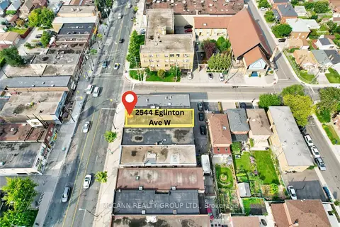
$1,798,800
2544 Eglinton Avenue W
Beechborough-Greenbrook, Toronto
Commercial Retail · MLS® W13414376 · MCCANN REALTY GROUP LTD.
$1,499,900
5 bd1 ba
382 Bathurst Street
Trinity-Bellwoods, Toronto
Commercial Retail · MLS® C13821118 · RE/MAX EXPERTS
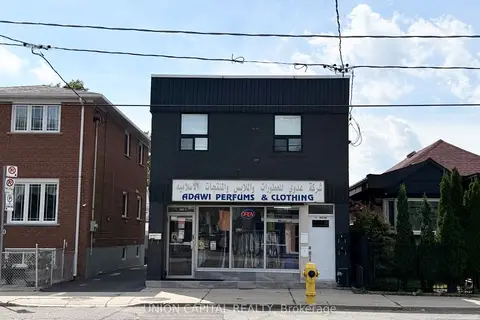
$1,499,999
1342 Weston Road
Mount Dennis, Toronto
Investment · MLS® W13740626 · UNION CAPITAL REALTY
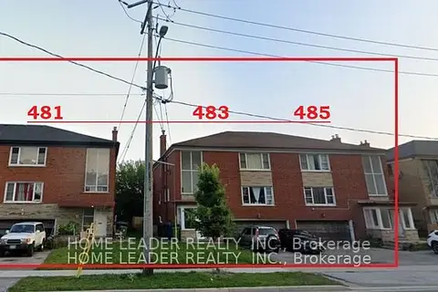
$1,500,000
481 Wilson Avenue
Clanton Park, Toronto
Land · MLS® C13004608 · HOME LEADER REALTY INC.
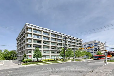
$1,500,000
Address withheld · St. Andrew-Windfields
St. Andrew-Windfields, Toronto
Sale Of Business · MLS® C13141496 · KELLER WILLIAMS REALTY CENTRES
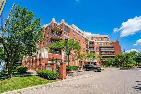
$1,500,000
800 Sheppard Avenue W C1 & C3
Bathurst Manor, Toronto
Commercial Retail · MLS® C13216410 · RE/MAX WEST REALTY INC.
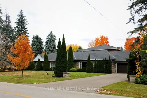
$1,500,000
Reduced $277,700
4 bd1 ba
87 Cedar Brae Boulevard SE
Eglinton East, Toronto
Land · MLS® E13762678 · VALERY REAL ESTATE INC.
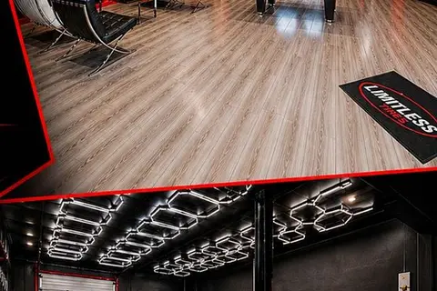
$1,499,800
37 Kodiak Crescent 16
York University Heights, Toronto
Sale Of Business · MLS® W13611840 · HOMELIFE SILVERCITY REALTY INC.