878 Kingston Road Main
East End-Danforth, Toronto, M4E 1S3
$53,900
Reduced $700 from $54,600
Listed 21 days ago · MLS® E13840874
About this home
Great coffee. Delicious baked goods- that is what keeps customers loyal and coming back day after day. Two new cafés have opened on the same block since Black Dog opened its doors, and it's kept its loyal following anyway. Come and see this 700-sf café with a reputation that stays strong. Faema Prestige dual-group espresso machine, turbo oven, vent (can add a small hood for pizzas, etc.), and all the equipment and small wares make this a turnkey opportunity for the right buyer. Seating up to 16.
Details
- Type
- Commercial Retail
- Lot
- 18 × 40 ft
- Garage
- None
- Neighbourhood
- East End-Danforth
- Municipality
- Toronto E02
Heating, cooling and services
- Heating
- Baseboard
- Air conditioning
- Yes
- Utilities
- Yes
Building and exterior
- Building area
- 700 Square Feet
More
- Possession
- Flexible
- Cross street
- between Hannaford & Pickering
- Business type
- Hospitality/Food Related
Price history
| Date | Price | Change |
|---|---|---|
| Oct 8, 2026 | $54,600 | Listed |
| Oct 18, 2026 | $53,900 | −$700 |
Location
Location is approximate. See nearby homes on the map
Recent sales nearby
See what similar homes within 1 km sold for in the last year. Create a free account or sign in to see them.
The neighbourhood
Getting around Very walkable
- 🚇 Main Street Subway1.3 km
- 🚇 Victoria Park Subway1.6 km
- 🚆 Danforth GO16 min walk
Within a 10-minute walk: 5 grocery stores, 41 cafés and restaurants, 5 parks, 5 pharmacies. Nearest grocery: Manke Fruits And Vegetables (500 m). Nearest park: Bob Acton Park (700 m).
Schools nearby
Elementary
- St. John Catholic School Catholic
EQAO: Gr 6 reading 94%, math 38%5 min walk - Adam Beck Junior Public School
EQAO: Gr 6 reading 93%, math 40%5 min walk - Balmy Beach Community School
EQAO: Gr 6 reading 92%, math 62%7 min walk - Blantyre Public School
EQAO: Gr 6 reading 77%, math 43%11 min walk
Secondary
- Notre Dame Catholic High School Catholic
EQAO: Gr 9 math 67%, literacy test 97%4 min walk - Malvern Collegiate Institute
EQAO: Gr 9 math 78%, literacy test 96%5 min walk - Neil McNeil High School Catholic
EQAO: Gr 9 math 69%, literacy test 83%11 min walk
EQAO: share of students meeting the provincial standard (2024–25). Ontario average: Gr 6 reading 86%, math 51%; Gr 9 math 55%; literacy test 83%.
Closest schools, not school zones. Check which school serves this address with the school board before relying on it.
Who lives here postal area M4E
- Owners / renters
- 64% / 36%
- Median household income
- $112,000
- Average age
- 41
- Children under 15
- 17%
- Homes
- 28% detached, 8% high-rise
- Commute by transit
- 20%
- Population
- 25,473
Languages spoken most at home besides English: Spanish 0.7%, Yue (Cantonese) 0.5%, Mandarin 0.4%, Portuguese 0.2%.
Flood and conservation No mapped hazard
Not inside a mapped flood plain or regulated area.
Screening maps only. Ask the conservation authority for a property inquiry before relying on this.
Safety
Major crime per resident in East End-Danforth (2025): about the Toronto average, down 11% from the year before.
- Assaultabout average
- Break and enterabout average
- Auto theft35% below average
- Robbery34% below average
- Theft from vehiclesabout average
- Shootings51% below average
Crime Severity Index for Toronto police: 60 vs 57 for Ontario (2025).
Police-reported figures for the whole neighbourhood, not this street. Rates use the area’s resident population.
Development nearby 1 active
-
855 KINGSTON RD · 50 mOfficial Plan / Zoning By-law Amendment · Appeal Received · applied 2015Proposed 11-storey mixed-use building at 847-855 Kingston Road with 99 residential units. It would have a total gross floor area of approximately 7,195 square…Application details
Rezoning, site plan, subdivision and condominium applications filed with the city.
Distances are approximate. Places © OpenStreetMap contributors. Neighbourhood figures: Statistics Canada, 2021 Census. School results: EQAO via Ontario Data Catalogue (Open Government Licence – Ontario). Neighbourhood crime: Toronto Police Service Public Safety Data Portal (Open Government Licence – Toronto Police Service). Crime Severity Index: Statistics Canada. Planning applications: City of Toronto open data.
Living here
Commute
To Union Station (downtown Toronto): 8 km. Transit times · Driving times
Noise Nothing major nearby
No highway within 500 m, rail line within 300 m, or airport flight path nearby.
Distances from the map, not noise measurements. Visit at rush hour to judge for yourself.
What can be built CR
Commercial Residential (with a site-specific exception).
From Toronto’s Zoning By-law 569-2013 map. Lot size, setbacks and trees decide what actually fits; check with a planner before you buy.
Building permits
- Multiple Projects · 2019 · ClosedConverting existing hair salon to a cafe.
2 permits on this block of the street in the last 2 years.
Permits filed with the City of Toronto. A permit doesn’t mean the work passed final inspection.
Trees
49 City street trees within 100 m. That’s about the Toronto average of 42.
Trees on City boulevards only, not private yards or parks.
Internet High-speed
50/10 Mbps or faster available here by cable, fibre or DSL (the federal high-speed target).
From the federal broadband map. Check exact speeds and providers for the address.
Zoning, heritage, building permits and street trees: City of Toronto open data (Open Government Licence – Toronto). Roads, rail, airports and planned stations © OpenStreetMap contributors. Internet: Innovation, Science and Economic Development Canada, National Broadband Data.
Listed by REAL ESTATE HOMEWARD.
Listing information provided by PropTx Innovations Inc. and TRREB; deemed reliable but not guaranteed accurate by PropTx.
Similar homes nearby
See more in Toronto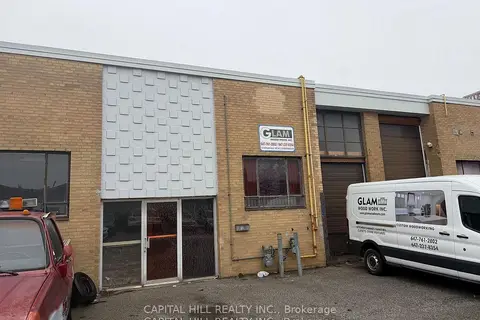
$54,990
120 Barbados Boulevard 12
Eglinton East, Toronto
Sale Of Business · MLS® E13831434 · CAPITAL HILL REALTY INC.
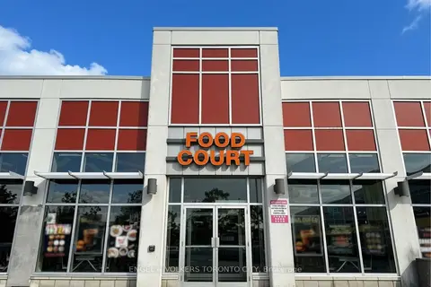
$55,000
Reduced $10,000
41 Lebovic Avenue 118
Clairlea-Birchmount, Toronto
Sale Of Business · MLS® E13836426 · ENGEL & VOLKERS TORONTO CITY
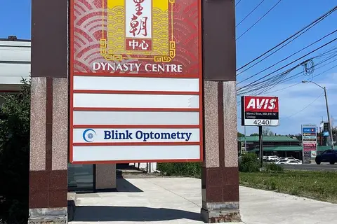
$56,800
Reduced $20,000
8 Glen Watford Drive F10-F11
Agincourt South-Malvern West, Toronto
Sale Of Business · MLS® E13724782 · ROYAL LEPAGE TERREQUITY YMSL REALTY
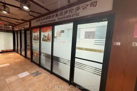
$50,800
4438 Sheppard Avenue E #339
Agincourt South-Malvern West, Toronto
Commercial Retail · MLS® E13468552 · JDL REALTY INC.

$50,000
Reduced $89,800
1 ba
5519 Yonge Street 300
Willowdale East, Toronto
Sale Of Business · MLS® C13121844 · HOMELIFE LANDMARK REALTY INC.
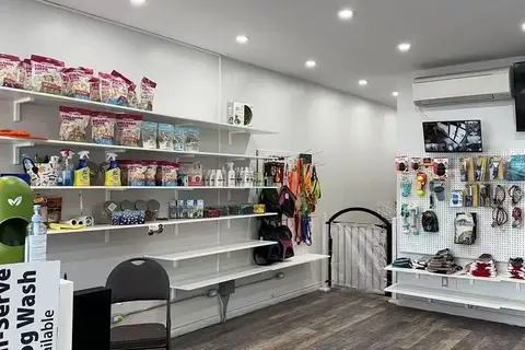
$50,000
4140 Bathurst Street 4136
Clanton Park, Toronto
Sale Of Business · MLS® C13442208 · HOMELIFE LANDMARK REALTY INC.
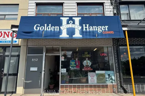
$50,000
1 ba
852 Sheppard Avenue W
Bathurst Manor, Toronto
Sale Of Business · MLS® C13687396 · ANJIA REALTY
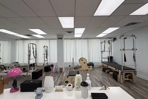
$50,000
5635 YONGE Street 207
Willowdale East, Toronto
Sale Of Business · MLS® C13819444 · NU STREAM REALTY (TORONTO) INC.