8204 Islington Avenue
Islington Woods, Vaughan, L4L 1W8
$925,000
- 0 bedrooms
- 0 bathrooms
Listed 194 days ago · MLS® N12976592
About this home
Prime Residential Land for Sale in Vaughan - Perfect for Builders, Developers & Investors! Unlock the potential of this exceptional vacant land, ideally situated in the heart of Vaughan with easy access to highways and all major amenities. This property offers endless opportunities to build your dream project in one of Vaughan's most sought-after locations. Fully Serviced: Hydro, natural gas, and water connections available. Prime Location: Steps away from the highway and close to shopping, schools, transit, and more. Exceptional Investment Opportunity: Ideal for long-term growth. buy, hold, and develop at your pace. Unmatched Potential: Perfect for builders seeking a canvas to create luxury homes or developers looking to create a standout residential community. Bring your vision and make this high-yielding land yours! Act fast - opportunity like this don't come often. Secure your future today. This land is ready for redevelopment-with a clear path to start construction right away. Don't miss your chance to secure this high-potential property in one of Vaughan's most desirable areas.
Details
- Type
- Vacant Land
- Lot
- 77.58 × 333.68 ft
- Kitchens
- 0
- Property tax
- $5,861 (2025)
- Neighbourhood
- Islington Woods
- Municipality
- Vaughan
Building and exterior
- Faces
- East
Lot
- Size
- 77.58 × 333.68 ft
- Acreage
- Not Applicable
More
- Possession
- TBA
- Cross street
- Islington Ave and Davidson
History of this address
12 earlier listings at this address, with sold and leased prices. Create a free account or sign in to see them.
Location
Location is approximate. See nearby homes on the map
Recent sales nearby
See what similar homes within 1 km sold for in the last year. Create a free account or sign in to see them.
The neighbourhood
Getting around Somewhat walkable
No subway, LRT or GO station within a short trip.
Within a 10-minute walk: no grocery stores, 1 cafés and restaurants, 3 parks, 1 pharmacy. Nearest park: Maxey Park (700 m).
Schools nearby
Elementary
- Pine Grove Public School
EQAO: Gr 6 reading 82%, math 36%8 min walk - St. Margaret Mary Catholic Elementary School Catholic
EQAO: Gr 6 reading 100%, math 47%13 min walk - Immaculate Conception Catholic Elementary School Catholic
EQAO: Gr 6 reading 94%, math 57%17 min walk - Woodbridge Public School
EQAO: Gr 6 reading 86%, math 48%1.7 km
Secondary
- Woodbridge College
EQAO: Gr 9 math 50%, literacy test 91%1.6 km - Father Bressani Catholic High School Catholic
EQAO: Gr 9 math 70%, literacy test 91%1.6 km - Toronto District Christian High School Private1.7 km
EQAO: share of students meeting the provincial standard (2024–25). Ontario average: Gr 6 reading 86%, math 51%; Gr 9 math 55%; literacy test 83%.
Closest schools, not school zones. Check which school serves this address with the school board before relying on it.
Who lives here postal area L4L
- Owners / renters
- 85% / 15%
- Median household income
- $110,000
- Average age
- 46
- Children under 15
- 12%
- Homes
- 64% detached, 15% high-rise
- Commute by transit
- 5%
- Population
- 55,426
Languages spoken most at home besides English: Italian 10.3%, Punjabi (Panjabi) 1.8%, Spanish 1.8%, Mandarin 1%.
Flood and conservation Flood plain
This address falls inside a mapped flood plain (Toronto and Region Conservation Authority). Building, additions and grading need a permit from the conservation authority, and flood insurance can cost more or be harder to get.
Screening maps only. Ask the conservation authority for a property inquiry before relying on this.
Safety
Crime Severity Index for York Region police: 50 vs 57 for Ontario (2025).
Police-reported figures for the whole police service area, not this street. Rates use the area’s resident population.
Distances are approximate. Places © OpenStreetMap contributors. Neighbourhood figures: Statistics Canada, 2021 Census. School results: EQAO via Ontario Data Catalogue (Open Government Licence – Ontario). Flood and regulation mapping: Toronto and Region Conservation Authority open data. Crime Severity Index: Statistics Canada.
Living here
Commute
To Union Station (downtown Toronto): 23 km. Transit times · Driving times
Noise Nothing major nearby
No highway within 500 m, rail line within 300 m, or airport flight path nearby.
Distances from the map, not noise measurements. Visit at rush hour to judge for yourself.
Internet High-speed
50/10 Mbps or faster available here by cable, fibre or DSL (the federal high-speed target).
From the federal broadband map. Check exact speeds and providers for the address.
Roads, rail, airports and planned stations © OpenStreetMap contributors. Internet: Innovation, Science and Economic Development Canada, National Broadband Data.
Listed by HOMELIFE/FUTURE REALTY INC..
Listing information provided by PropTx Innovations Inc. and TRREB; deemed reliable but not guaranteed accurate by PropTx.
Similar homes nearby
See more in Vaughan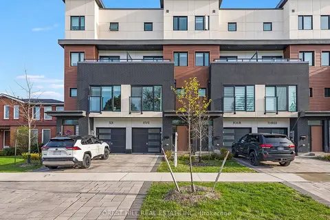
$969,900
Reduced $30,000
3 bd3 ba3 pk1500-2000 ft²
1 Hartman Avenue 5
Islington Woods, Vaughan
Att/Row/Townhouse · MLS® N13614670 · FOREST HILL REAL ESTATE INC.
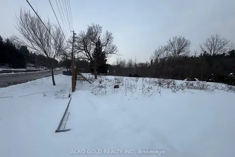
$808,900
Reduced $41,100
0 bd0 ba
8519 Islington Avenue
Islington Woods, Vaughan
Vacant Land · MLS® N13762006 · ACRO GOLD REALTY INC.
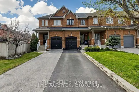
$920,888
Reduced $17,112
3 bd3 ba3 pk1100-1500 ft²
36 Keystar Court
Vellore Village, Vaughan
Att/Row/Townhouse · MLS® N13799062 · THE AGENCY
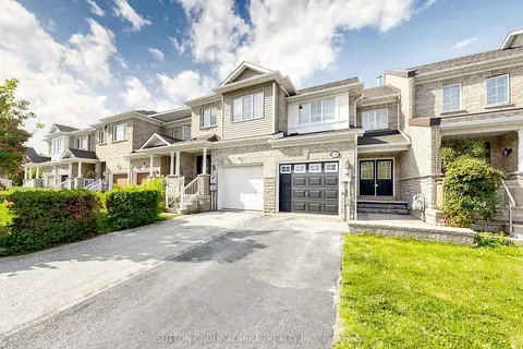
$920,000
3 bd3 ba3 pk1100-1500 ft²
12 Elderbrook Crescent
Patterson, Vaughan
Att/Row/Townhouse · MLS® N13686806 · SUTTON GROUP-ADMIRAL REALTY INC.
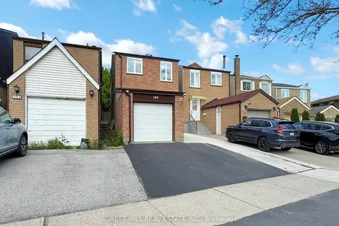
$918,000
Reduced $31,000
3+1 bd3 ba3 pk1100-1500 ft²
109 Spyglass Hill Road
Glen Shields, Vaughan
Link · MLS® N13764158 · FOREST HILL REAL ESTATE INC.
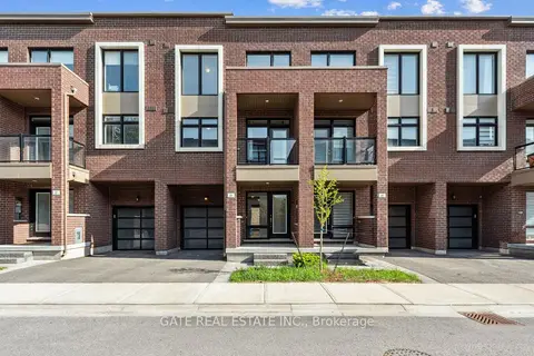
$918,000
3 bd4 ba2 pk1500-2000 ft²
27 Moneypenny Place
Beverley Glen, Vaughan
Att/Row/Townhouse · MLS® N13860568 · GATE REAL ESTATE INC.
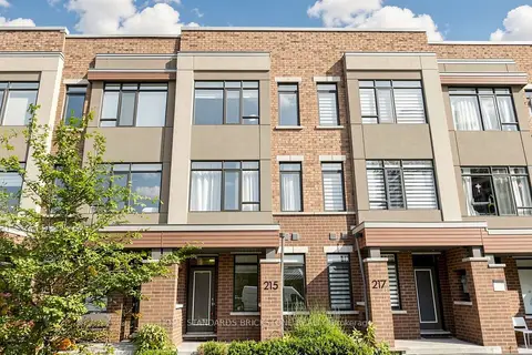
$935,000
Reduced $24,000
3+1 bd4 ba2 pk1500-2000 ft²
215 Salterton Circle
Rural Vaughan, Vaughan
Att/Row/Townhouse · MLS® N12996446 · HOME STANDARDS BRICKSTONE REALTY
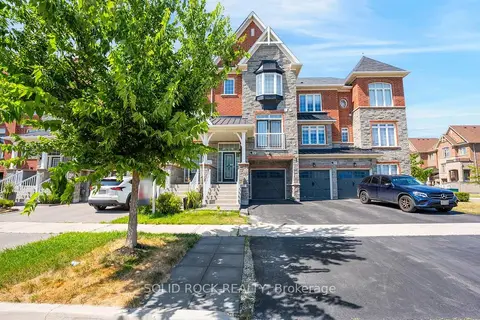
$935,000
Reduced $30,000
3 bd3 ba3 pk1500-2000 ft²
142 Farooq Boulevard S
Vellore Village, Vaughan
Att/Row/Townhouse · MLS® N13639374 · SOLID ROCK REALTY