8 Banner Road
Brampton West, Brampton, L6X 4K6
$940,000
- 4+2 bedrooms
- 3 bathrooms
- 4 parking
- 1500-2000 sq ft
Listed 6 days ago · MLS® W14017108
About this home
Excellent Maintained Home In Heart Of Brampton **New Carpet, Mirrored Closet**Open Concept Layout* Fully Fenced Back Yard. Located On A Quiet Street Few Steps From School And Shopping. Main Floor Laminated Recently. Finished Basement with 2 bedroom apartment
Details
- Type
- Detached
- Style
- 2-Storey
- Size
- 1500-2000 sq ft
- Lot
- 28.1 × 103.54 ft
- Basement
- Finished
- Garage
- Attached
- Kitchens
- 2
- Property tax
- $5,703 (2025)
- Neighbourhood
- Brampton West
- Municipality
- Brampton
- Price per sq ft
- $537 (about the same as detached houses in Brampton West)
Interior
- Bedrooms
- 4 above ground + 2 below
- Bathrooms
- 1 × 4-piece, 1 × 4-piece, 1 × 2-piece
- Kitchens
- 2 (1 below ground)
- Rooms
- 11 above ground
- Family room or den
- Yes
- Fireplace
- No
Heating, cooling and services
- Heating
- Forced Air, Gas
- Air conditioning
- Central Air
- Water and sewer
- Sewer
Building and exterior
- Style
- 2-Storey
- Exterior
- Brick
- Roof
- Asphalt Shingle
- Foundation
- Brick, Concrete
- Faces
- North
Parking
- Garage spaces
- 2
- Total parking
- 4
Lot
- Size
- 28.1 × 103.54 ft
More
- Possession
- Tenant
- Cross street
- Royal Orchard/Bovair
Rooms
| Room | Level | Size | Features |
|---|---|---|---|
| Living Room | Ground | 3.65 × 3.04 m (12' × 10') |
History of this address
1 earlier listing at this address, with sold and leased prices. Create a free account or sign in to see them.
Location
Location is approximate. See nearby homes on the map
Recent sales nearby
See what similar homes within 1 km sold for in the last year. Create a free account or sign in to see them.
The neighbourhood
Getting around Walkable
- 🚆 Mount Pleasant GO3.5 km
Within a 10-minute walk: 1 grocery store, 17 cafés and restaurants, 8 parks, 3 pharmacies. Nearest grocery: Ample Food Market (1000 m). Nearest park: W.A. Russell Parkette (150 m).
Schools nearby
Elementary
- St. Maria Goretti Elementary School Catholic
EQAO: Gr 6 reading 84%, math 39%4 min walk - St. Ursula Elementary School/St. Anne Separate School Catholic
EQAO: Gr 6 reading 93%, math 51%17 min walk - Homestead Public School
EQAO: Gr 3 reading 65%, math 57%17 min walk - Westervelts Corners Public School
EQAO: Gr 3 reading 61%, math 47%1.2 km
Secondary
- Royal Orchard Middle School8 min walk
EQAO: share of students meeting the provincial standard (2024–25). Ontario average: Gr 6 reading 86%, math 51%; Gr 9 math 55%; literacy test 83%.
Closest schools, not school zones. Check which school serves this address with the school board before relying on it.
Who lives here postal area L6X
- Owners / renters
- 79% / 21%
- Median household income
- $116,000
- Average age
- 37
- Children under 15
- 19%
- Homes
- 55% detached, 7% high-rise
- Commute by transit
- 10%
- Population
- 76,113
Languages spoken most at home besides English: Punjabi (Panjabi) 14.9%, Urdu 3.1%, Hindi 2.4%, Gujarati 2.2%.
Flood and conservation No mapped hazard
Not inside a mapped flood plain or regulated area.
Screening maps only. Ask the conservation authority for a property inquiry before relying on this.
Safety
Crime Severity Index for Peel Region (Mississauga/Brampton) police: 59 vs 57 for Ontario (2025).
Police-reported figures for the whole police service area, not this street. Rates use the area’s resident population.
Development nearby 1 active
-
10031 MCLAUGHLIN RD · 500 mSite Plan Approval · In Review · applied 2025Limited Site Plan
-
10031 MCLAUGHLIN RD · 500 mSite Plan Approval · Site Plan Approved · applied 2022Basic Site Plan
Rezoning, site plan, subdivision and condominium applications filed with the city.
Distances are approximate. Places © OpenStreetMap contributors. Neighbourhood figures: Statistics Canada, 2021 Census. School results: EQAO via Ontario Data Catalogue (Open Government Licence – Ontario). Crime Severity Index: Statistics Canada. Planning applications: City of Brampton open data.
Living here
Commute
To Union Station (downtown Toronto): 34 km. Transit times · Driving times
Noise Nothing major nearby
No highway within 500 m, rail line within 300 m, or airport flight path nearby.
Distances from the map, not noise measurements. Visit at rush hour to judge for yourself.
Internet High-speed
50/10 Mbps or faster available here by cable, fibre or DSL (the federal high-speed target).
From the federal broadband map. Check exact speeds and providers for the address.
Roads, rail, airports and planned stations © OpenStreetMap contributors. Internet: Innovation, Science and Economic Development Canada, National Broadband Data.
Listed by LPT REALTY.
Listing information provided by PropTx Innovations Inc. and TRREB; deemed reliable but not guaranteed accurate by PropTx.
Similar homes nearby
See more in Brampton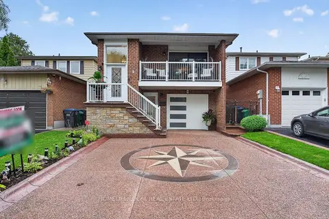
$939,999
Reduced $60,000
4+1 bd2 ba3 pk2000-2500 ft²
4 Martindale Crescent
Brampton West, Brampton
Detached · MLS® W13766506 · HOMELIFE/LOCAL REAL ESTATE LTD.
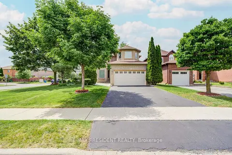
$924,000
4+1 bd4 ba4 pk1500-2000 ft²
2 Banner Road
Brampton West, Brampton
Detached · MLS® W13742460 · RE/MAX PRESIDENT REALTY
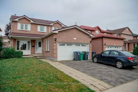
$974,900
4+1 bd4 ba6 pk2000-2500 ft²
11 Burnhope Drive
Brampton West, Brampton
Detached · MLS® W14027692 · THE GUARDIAN HOME REALTY INC.
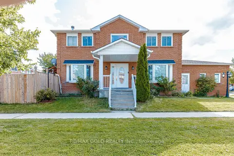
$899,900
3+2 bd4 ba4 pk1500-2000 ft²
4 Horsham Street
Brampton West, Brampton
Detached · MLS® W13793276 · RE/MAX GOLD REALTY INC.
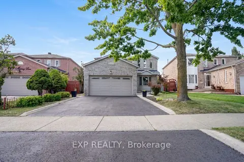
$899,888
4 bd3 ba4 pk1500-2000 ft²
271 Murray Street
Brampton West, Brampton
Detached · MLS® W13788928 · EXP REALTY
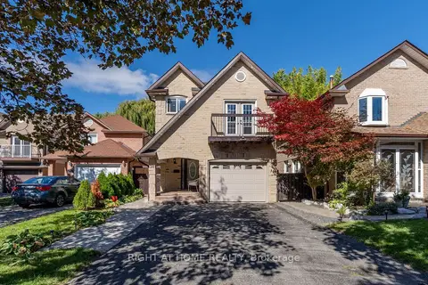
$899,000
3 bd4 ba5 pk1500-2000 ft²
36 SW Burton Road W
Brampton West, Brampton
Detached · MLS® W13879560 · RIGHT AT HOME REALTY
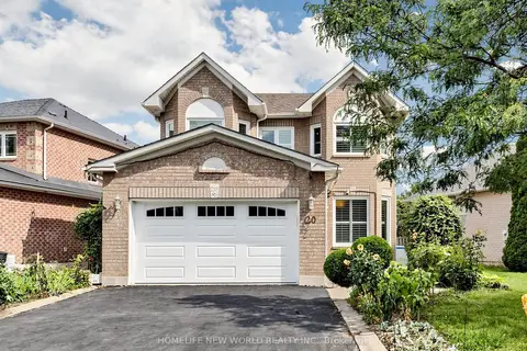
$988,000
4+2 bd4 ba6 pk2000-2500 ft²
20 Arjay Trail
Brampton West, Brampton
Detached · MLS® W14027798 · HOMELIFE NEW WORLD REALTY INC.
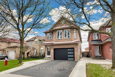
$999,000
Reduced $50,000
4+1 bd4 ba5 pk2000-2500 ft²
10 Cedarwood Crescent
Brampton West, Brampton
Detached · MLS® W13027720 · RISING SUN REAL ESTATE INC.