78 Bond Street W
O'Neill, Oshawa, L1G 1A5
$1
- 14 bathrooms
Listed 49 days ago · MLS® E13732138
About this home
Exceptional Downtown Development Opportunity! Prime 135' x 259' feet site with the rare advantage of frontage/access from both Bond Street W and Richmond Street, offering excellent flexibility for future development. The property is in the final stages of Site Plan Approval (SPA) for a proposed 150-unit residential development, with the Seller to provide the approved SPA in accordance with the plans/drawings attached to the listing. A major development incentive has already been secured with municipal development charges waived, representing estimated savings of approximately $25,000 per unit, or approximately $3.7M based on the proposed 150 units. The property is currently occupied by an established vehicle rental tenant under an existing lease, providing immediate rental income to help offset carrying costs while preparing for redevelopment. The lease provides for termination with approximately nine (9) months' notice, subject to its terms. An outstanding opportunity to acquire a strategically located, income-producing development site with advanced approvals, substantial development-charge savings, excellent rental potential and rare dual-street access in the downtown core. Buyer to verify all development information, approvals, DC incentives/waivers and lease terms.
Details
- Type
- Commercial Retail
- Age
- 16-30 years
- Lot
- 135.91 × 259.43 ft
- Garage
- In/Out
- Property tax
- $30,000 (2026)
- Neighbourhood
- O'Neill
- Municipality
- Oshawa
Interior
- Bathrooms
- 14 × bathroom
Heating, cooling and services
- Heating
- Gas Forced Air Closed
- Air conditioning
- Yes
- Water and sewer
- Sanitary+Storm
- Utilities
- Available
Building and exterior
- Age
- 16-30 years
- Building area
- 1 Acres
More
- Possession
- TBD
- Cross street
- Bond and Mcmillan
- Business type
- Automotive Related
Location
Location is approximate. See nearby homes on the map
Recent sales nearby
See what similar homes within 1 km sold for in the last year. Create a free account or sign in to see them.
The neighbourhood
Getting around Very walkable
- 🚆 Whitby GO6.8 km
Within a 10-minute walk: 4 grocery stores, 55 cafés and restaurants, 7 parks, 5 pharmacies. Nearest grocery: Lucky Supermarket (150 m). Nearest park: Veterans Square (300 m).
Schools nearby
Elementary
- Mary Street Community School
EQAO: Gr 6 reading 85%, math 57%7 min walk - Village Union Public School
EQAO: Gr 6 reading 67%, math 20%19 min walk - St. Christopher Catholic School Catholic
EQAO: Gr 6 reading 78%, math 34%1.5 km - Woodcrest Public School
EQAO: Gr 6 reading 63%, math 17%1.5 km
Secondary
- O'Neill Collegiate and Vocational Institute
EQAO: Gr 9 math 49%, literacy test 84%14 min walk - Durham Alternative Secondary School - Oshawa14 min walk
EQAO: share of students meeting the provincial standard (2024–25). Ontario average: Gr 6 reading 86%, math 51%; Gr 9 math 55%; literacy test 83%.
Closest schools, not school zones. Check which school serves this address with the school board before relying on it.
Who lives here postal area L1G
- Owners / renters
- 56% / 44%
- Median household income
- $75,500
- Average age
- 44
- Children under 15
- 14%
- Homes
- 45% detached, 23% high-rise
- Commute by transit
- 7%
- Population
- 43,497
Languages spoken most at home besides English: Urdu 0.5%, Spanish 0.5%, Tagalog (Pilipino, Filipino) 0.4%, Gujarati 0.4%.
Flood and conservation No mapped hazard
Not inside a mapped flood plain or regulated area in Central Lake Ontario Conservation’s mapping.
Screening maps only. Ask the conservation authority for a property inquiry before relying on this.
Safety
Crime Severity Index for Durham Region (Oshawa/Whitby/Ajax) police: 43 vs 57 for Ontario (2025).
Police-reported figures for the whole police service area, not this street. Rates use the area’s resident population.
Distances are approximate. Places © OpenStreetMap contributors. Neighbourhood figures: Statistics Canada, 2021 Census. School results: EQAO via Ontario Data Catalogue (Open Government Licence – Ontario). Flood and regulation mapping: Central Lake Ontario Conservation open data. Crime Severity Index: Statistics Canada.
Living here
Commute
To Union Station (downtown Toronto): 50 km. Transit times · Driving times
Noise Nothing major nearby
No highway within 500 m, rail line within 300 m, or airport flight path nearby.
Distances from the map, not noise measurements. Visit at rush hour to judge for yourself.
Internet High-speed
50/10 Mbps or faster available here by cable, fibre or DSL (the federal high-speed target).
From the federal broadband map. Check exact speeds and providers for the address.
Roads, rail, airports and planned stations © OpenStreetMap contributors. Internet: Innovation, Science and Economic Development Canada, National Broadband Data.
Listed by REVEL REALTY INC..
Listing information provided by PropTx Innovations Inc. and TRREB; deemed reliable but not guaranteed accurate by PropTx.
Similar homes nearby
See more in Oshawa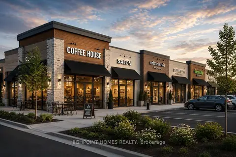
$1
0 Park Road S
Vanier, Oshawa
Commercial Retail · MLS® E13218200 · HIGHPOINT HOMES REALTY
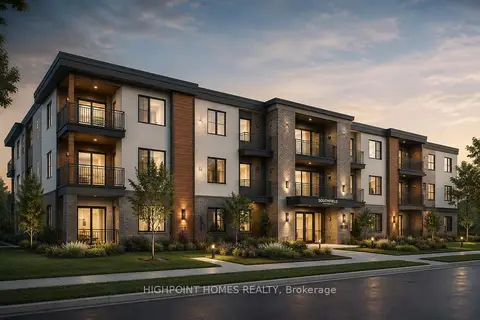
$1
0 Park Road S
Vanier, Oshawa
Land · MLS® E13218362 · HIGHPOINT HOMES REALTY
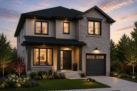
$1
0 Elmgrove Avenue
Vanier, Oshawa
Land · MLS® E13218422 · HIGHPOINT HOMES REALTY

$1
1 ba
2061 Simcoe Street N
Samac, Oshawa
Sale Of Business · MLS® E13529724 · HOMELIFE MAPLE LEAF REALTY LTD.
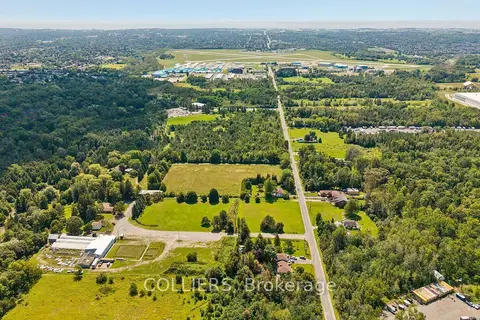
$1
1645 Stevenson Road N
Northwood, Oshawa
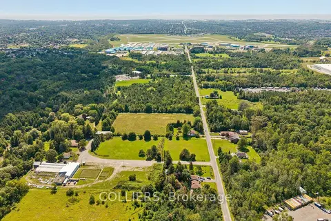
Land · MLS® E13693642 · COLLIERS
$1
1707 Stevenson Road N
Northwood, Oshawa
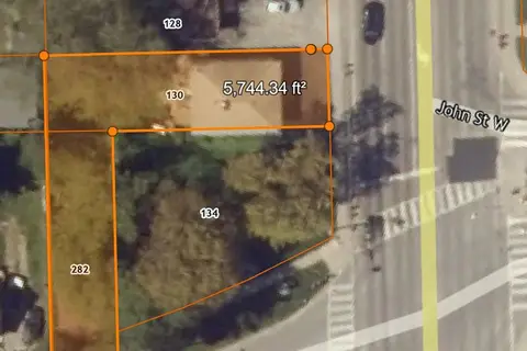
Land · MLS® E13693648 · COLLIERS
$1
0 Park Road S
Vanier, Oshawa
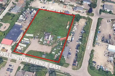
Land · MLS® E13826182 · HIGHPOINT HOMES REALTY
$1
50 Wellington Avenue E
Farewell, Oshawa
Land · MLS® E13871592 · RE/MAX HALLMARK FIRST GROUP REALTY LTD.