1707 Stevenson Road N
Northwood, Oshawa, L1L 0N7
$1
Listed 61 days ago · MLS® E13693648
About this home
1707 Stevenson Road, Oshawa comprises approximately 30.61 acres of contiguous industrial land. The site is zoned SI-A(15) h-71, OSE(1), and OSH. The current plan includes 339,479 square feet across two buildings, featuring 45 truck-level doors and 47 trailer stalls. On March 13, 2025, written approval expanded the development boundary to about 404,000 square feet, an increase of 64,600 square feet. Located in north Oshawa, the property offers direct access to Highway 407 via Simcoe Street and Highway 401 via Stevenson Road South. The site is exempt from Oshawa's municipal development charges for industrial projects and is eligible for the Region of Durham's Industrial DC Deferral Program (effective February 1, 2025) and Ontario's forthcoming Defence Industrial Strategy. This is a rare, high-quality opportunity for developers or end-users.
Details
- Type
- Land
- Property tax
- $14,918 (2026)
- Neighbourhood
- Northwood
- Municipality
- Oshawa
Heating, cooling and services
- Water and sewer
- Sanitary+Storm
- Utilities
- Available
Building and exterior
- Building area
- 11 Acres
More
- Possession
- Immediate
- Cross street
- Stevenson Rd N & Taunton Rd W
- Business type
- Industrial
History of this address
2 earlier listings at this address, with sold and leased prices. Create a free account or sign in to see them.
Location
Location is approximate. See nearby homes on the map
Recent sales nearby
See what similar homes within 1 km sold for in the last year. Create a free account or sign in to see them.
The neighbourhood
Getting around Somewhat walkable
No subway, LRT or GO station within a short trip.
Within a 10-minute walk: no grocery stores, 5 cafés and restaurants, 4 parks, 1 pharmacy. Nearest park: South Village Courtyard (600 m).
Schools nearby
Elementary
- Northern Dancer Public School
EQAO: Gr 6 reading 95%, math 64%1.8 km - Sunset Heights Public School
EQAO: Gr 6 reading 69%, math 18%1.9 km - Father Joseph Venini Catholic School Catholic2.0 km
- Queen Elizabeth Public School
EQAO: Gr 6 reading 81%, math 26%2.2 km
EQAO: share of students meeting the provincial standard (2024–25). Ontario average: Gr 6 reading 86%, math 51%; Gr 9 math 55%; literacy test 83%.
Closest schools, not school zones. Check which school serves this address with the school board before relying on it.
Who lives here postal area L1L
- Owners / renters
- 70% / 30%
- Median household income
- $112,000
- Average age
- 32
- Children under 15
- 26%
- Homes
- 85% detached
- Commute by transit
- 7%
- Population
- 12,976
Languages spoken most at home besides English: Tamil 4%, Urdu 3.1%, Mandarin 2.1%, Dari 1.2%.
Flood and conservation No mapped hazard
Not inside a mapped flood plain or regulated area in Central Lake Ontario Conservation’s mapping.
Screening maps only. Ask the conservation authority for a property inquiry before relying on this.
Safety
Crime Severity Index for Durham Region (Oshawa/Whitby/Ajax) police: 43 vs 57 for Ontario (2025).
Police-reported figures for the whole police service area, not this street. Rates use the area’s resident population.
Distances are approximate. Places © OpenStreetMap contributors. Neighbourhood figures: Statistics Canada, 2021 Census. School results: EQAO via Ontario Data Catalogue (Open Government Licence – Ontario). Flood and regulation mapping: Central Lake Ontario Conservation open data. Crime Severity Index: Statistics Canada.
Living here
Commute
To Union Station (downtown Toronto): 50 km. Transit times · Driving times
Noise Nothing major nearby
No highway within 500 m, rail line within 300 m, or airport flight path nearby.
Distances from the map, not noise measurements. Visit at rush hour to judge for yourself.
Internet High-speed
50/10 Mbps or faster available here by cable, fibre or DSL (the federal high-speed target).
From the federal broadband map. Check exact speeds and providers for the address.
Roads, rail, airports and planned stations © OpenStreetMap contributors. Internet: Innovation, Science and Economic Development Canada, National Broadband Data.
Listed by COLLIERS.
Listing information provided by PropTx Innovations Inc. and TRREB; deemed reliable but not guaranteed accurate by PropTx.
Similar homes nearby
See more in Oshawa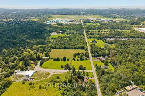
$1
1645 Stevenson Road N
Northwood, Oshawa
Land · MLS® E13693642 · COLLIERS
$1
0 Park Road S
Vanier, Oshawa
Commercial Retail · MLS® E13218200 · HIGHPOINT HOMES REALTY
$1
0 Park Road S
Vanier, Oshawa
Land · MLS® E13218362 · HIGHPOINT HOMES REALTY
$1
0 Elmgrove Avenue
Vanier, Oshawa
Land · MLS® E13218422 · HIGHPOINT HOMES REALTY

$1
1 ba
2061 Simcoe Street N
Samac, Oshawa
Sale Of Business · MLS® E13529724 · HOMELIFE MAPLE LEAF REALTY LTD.
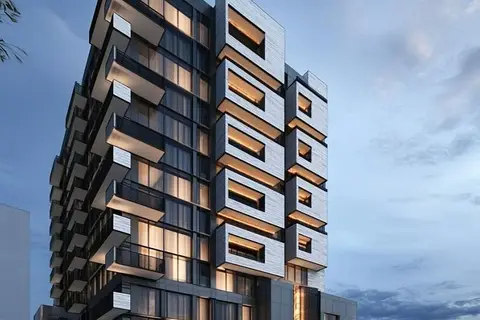
$1
14 ba
78 Bond Street W
O'Neill, Oshawa
Commercial Retail · MLS® E13732138 · REVEL REALTY INC.
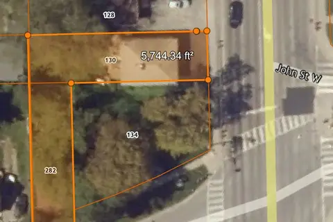
$1
0 Park Road S
Vanier, Oshawa
Land · MLS® E13826182 · HIGHPOINT HOMES REALTY
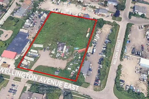
$1
50 Wellington Avenue E
Farewell, Oshawa
Land · MLS® E13871592 · RE/MAX HALLMARK FIRST GROUP REALTY LTD.