737 Water Street
Northcrest Ward 5, Peterborough, K9H 3N5
$529,000
- 5 bedrooms
- 2 bathrooms
- 3 parking
- 1500-2000 sq ft
Listed 124 days ago · MLS® X13461812
About this home
Attention Investors! Opportunity To Buy A Turn Key Student Rental! This Beautiful 2 Storey Brick Home Has Been Lovingly Updated, While Maintaining Much Of Its Original Character And Charm. 5 Bedrooms, 2 Baths. Large Kitchen. Has Lots Of Cupboard Space, Quartz And Wood Countertops & 1 Fridges. 2 Official Main Floor Bedrooms With High Ceilings And Big Windows. Main Floor 3Pc Bath W/Shower & Vanity. Upper Level Has 3 More Bright Bedrooms. Bright 2nd Floor 4Pc Bath. Other Upgrades: Kitchen Island, Floors On Main Level and Second Floor, and Fresh Paint. Gas Furnace. Back Deck. Private Gated Back Yard. Tons Of Parking. Close To All City Amenities: Shopping, Downtown Pubs, Restaurants. Also On Trent Express Bus Route.
Details
- Type
- Detached
- Style
- 2-Storey
- Size
- 1500-2000 sq ft
- Lot
- 35 × 89 ft
- Basement
- Exposed Rock
- Garage
- None
- Kitchens
- 1
- Property tax
- $3,907 (2026)
- Neighbourhood
- Northcrest Ward 5
- Municipality
- Peterborough
- Price per sq ft
- $302 (31% below detached houses in Northcrest Ward 5, $440)
Interior
- Bedrooms
- 5 above ground
- Bathrooms
- 1 × 3-piece (main), 1 × 4-piece (second)
- Rooms
- 9 above ground
- Family room or den
- No
- Fireplace
- No
- Features
- Storage
Heating, cooling and services
- Heating
- Baseboard, Electric
- Water and sewer
- Sewer
Building and exterior
- Style
- 2-Storey
- Exterior
- Brick, Aluminum Siding
- Roof
- Asphalt Shingle
- Foundation
- Stone
- Faces
- West
Parking
- Total parking
- 3
Lot
- Size
- 35 × 89 ft
More
- Possession
- TBD
- Cross street
- Water Street & Parkhill Road West
Rooms
| Room | Level | Size | Features |
|---|---|---|---|
| Living Room | Main | 3.71 × 2.51 m (12'2" × 8'3") | |
| Kitchen | Main | 4.42 × 2.9 m (14'6" × 9'6") | |
| Bedroom | Main | 3.81 × 3.35 m (12'6" × 11') | |
| Bedroom 2 | Main | 3.35 × 2.51 m (11' × 8'3") | |
| Bedroom 3 | Second | 3.86 × 2.82 m (12'8" × 9'3") | |
| Bedroom 4 | Second | 3.81 × 4.67 m (12'6" × 15'4") | |
| Bedroom 5 | Second | 3.76 × 3.81 m (12'4" × 12'6") |
Location
Location is approximate. See nearby homes on the map
Recent sales nearby
See what similar homes within 1 km sold for in the last year. Create a free account or sign in to see them.
The neighbourhood
Getting around Walkable
No subway, LRT or GO station within a short trip.
Within a 10-minute walk: 1 grocery store, 8 cafés and restaurants, 9 parks, 3 pharmacies. Nearest grocery: The Grocery Outlet (950 m). Nearest park: Inverlea Park (300 m).
Schools nearby
Elementary
- Queen Elizabeth Public School
EQAO: Gr 6 reading 100%, math 72%11 min walk - St. Anne Catholic Elementary School Catholic
EQAO: Gr 6 reading 89%, math 57%13 min walk - Armour Heights Public School1.2 km
- Highland Heights Public School
EQAO: Gr 6 reading 84%, math 32%1.4 km
Secondary
- Peterborough Alternative and Continuing Education13 min walk
- Adam Scott Collegiate and Vocational Institute
EQAO: Gr 9 math 53%, literacy test 85%18 min walk - Thomas A. Stewart Secondary School
EQAO: Gr 9 math 49%, literacy test 76%1.8 km
EQAO: share of students meeting the provincial standard (2024–25). Ontario average: Gr 6 reading 86%, math 51%; Gr 9 math 55%; literacy test 83%.
Closest schools, not school zones. Check which school serves this address with the school board before relying on it.
Who lives here postal area K9H
- Owners / renters
- 53% / 47%
- Median household income
- $64,000
- Average age
- 44
- Children under 15
- 13%
- Homes
- 53% detached, 3% high-rise
- Commute by transit
- 5%
- Population
- 29,704
Languages spoken most at home besides English: Arabic 0.4%, Hindi 0.2%, Mandarin 0.2%, Korean 0.2%.
Safety
Crime Severity Index for Peterborough police: 68 vs 57 for Ontario (2025).
Police-reported figures for the whole police service area, not this street. Rates use the area’s resident population.
Distances are approximate. Places © OpenStreetMap contributors. Neighbourhood figures: Statistics Canada, 2021 Census. School results: EQAO via Ontario Data Catalogue (Open Government Licence – Ontario). Crime Severity Index: Statistics Canada.
Living here
Commute
Noise Nothing major nearby
No highway within 500 m, rail line within 300 m, or airport flight path nearby.
Distances from the map, not noise measurements. Visit at rush hour to judge for yourself.
Internet High-speed
50/10 Mbps or faster available here by cable, fibre or DSL (the federal high-speed target).
From the federal broadband map. Check exact speeds and providers for the address.
Roads, rail, airports and planned stations © OpenStreetMap contributors. Internet: Innovation, Science and Economic Development Canada, National Broadband Data.
Listed by HOMELIFE LANDMARK REALTY INC..
Listing information provided by PropTx Innovations Inc. and TRREB; deemed reliable but not guaranteed accurate by PropTx.
Similar homes nearby
See more in Peterborough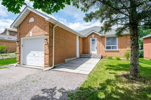
$529,900
Reduced $20,000
2+1 bd2 ba3 pk700-1100 ft²
228 Towerhill Road
Northcrest Ward 5, Peterborough
Detached · MLS® X13549344 · Royal Service Real Estate Inc.
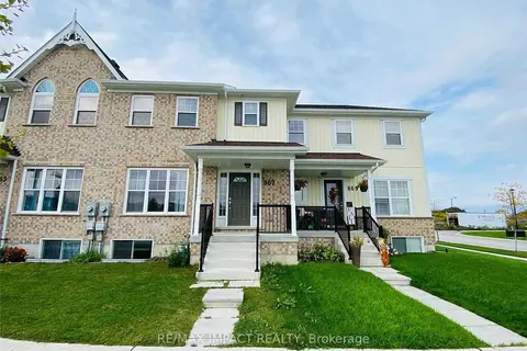
$525,888
3 bd3 ba2 pk1100-1500 ft²
867 Broadway Boulevard
Northcrest Ward 5, Peterborough
Att/Row/Townhouse · MLS® X13617990 · RE/MAX IMPACT REALTY
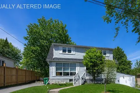
$519,900
Reduced $5,000
3+1 bd2 ba4 pk1100-1500 ft²
210 Shelbourne Street
Northcrest Ward 5, Peterborough
Detached · MLS® X13736138 · Royal Service Real Estate Inc.
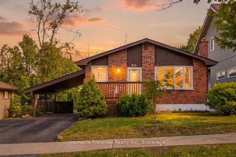
$519,000
Reduced $10,900
2+2 bd2 ba3 pk700-1100 ft²
893 Cumberland Avenue
Northcrest Ward 5, Peterborough
Detached · MLS® X13680130 · Homelife Preferred Realty Inc.
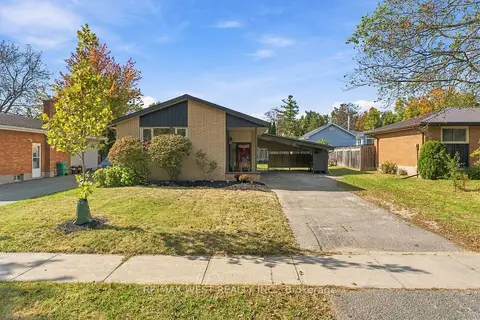
$539,000
3+1 bd2 ba3 pk700-1100 ft²
1271 Franklin Drive
Northcrest Ward 5, Peterborough
Detached · MLS® X13835078 · RE/MAX WEST REALTY INC.
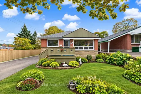
$539,900
2+1 bd2 ba3 pk1100-1500 ft²
365 Highland Road
Northcrest Ward 5, Peterborough
Detached · MLS® X13871364 · Flat Rate Realty Corp.
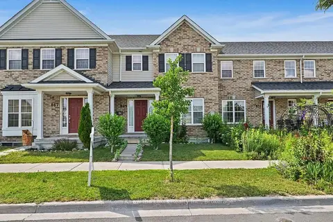
$510,000
3 bd3 ba2 pk1100-1500 ft²
849 Broadway Boulevard
Northcrest Ward 5, Peterborough
Att/Row/Townhouse · MLS® X13752762 · MinCom Kawartha Lakes Realty Inc.
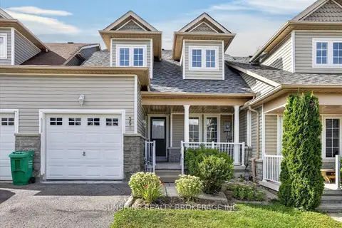
$509,990
Reduced $40,010
3 bd3 ba3 pk1100-1500 ft²
254 TOBIN Court
Northcrest Ward 5, Peterborough
Att/Row/Townhouse · MLS® X13705094 · SUNSHINE REALTY BROKERAGE INC.